Hunting in Manawatu-Wanganui
Overview
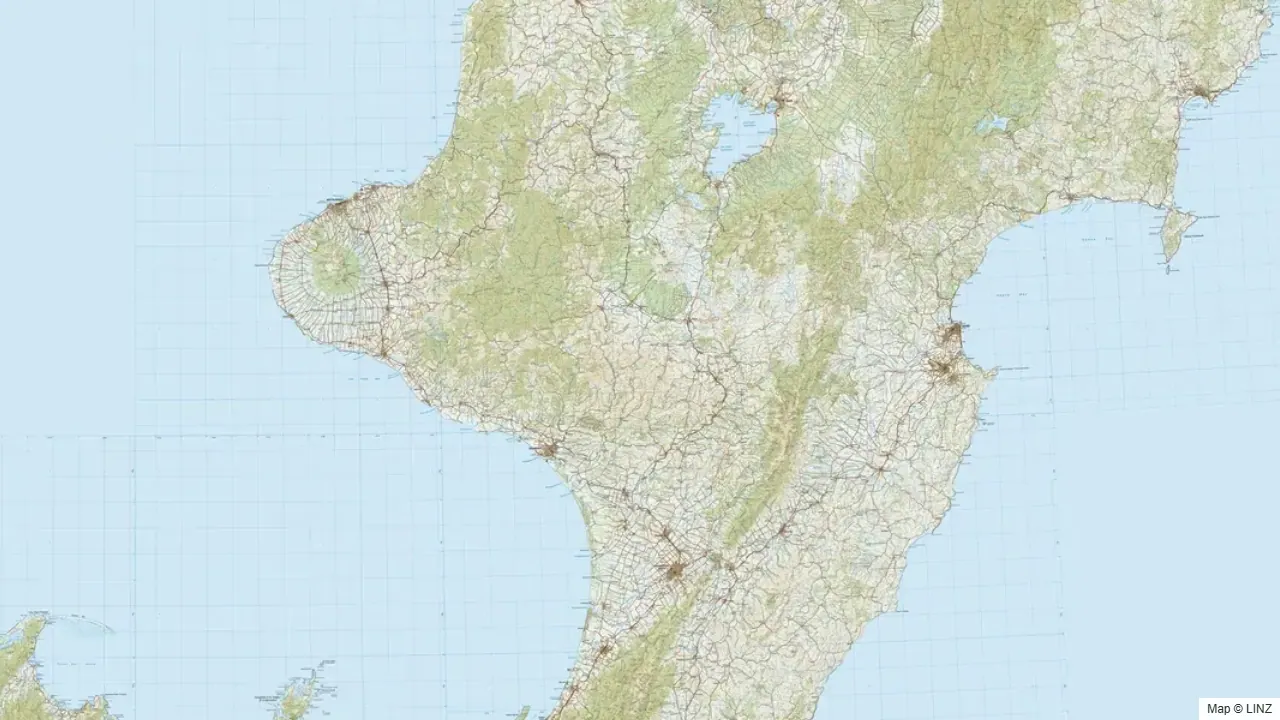
Manawatu-Wanganui covers a long diagonal sweep of central New Zealand — from the volcanic plateau country around Ruapehu and the King Country/Taranaki forest blocks in the north, down the length of the Ruahine Range to the Manawatū Gorge in the south, with the Whanganui River corridor threading through the middle of it all. The public hunting estate is substantial: the Ruahine Forest Park alone is nearly 100,000 hectares of continuous bush and tops, and Whanganui National Park adds another 70,000-plus hectares of beech-podocarp valley country.
The Ruahine is one of the North Island's strongest red deer regions and the only public-land sambar habitat in the country worth hunting for that species. Sika are present along the northern Ruahine and in the Ruapehu blocks adjacent to the Kaimanawa and Tongariro. The Whanganui River valleys hold good numbers of red deer and fallow, with pig throughout the lower country. For Palmerston North, Whanganui, and Feilding-based hunters, this is the home range — within two hours of most of the region's major blocks.
What You Can Hunt
- Red deer — the most widespread species; strong numbers throughout the Ruahine, Whanganui, and Ruapehu country. This is mainstream North Island red deer territory.
- Sika deer — present in the northern Ruahine and the Ruapehu/Tongariro Conservation Area fringe, where sika from the Kaimanawa and Kāweka have spread south. Not the densities of the core Kaimanawa range, but genuinely huntable.
- Fallow deer — established through the Ruahine, Whanganui, and the Taranaki forest blocks. The Ruahine holds the region's strongest fallow numbers.
- Sambar — a small but established population in the Ruahine. This is one of very few places in New Zealand where sambar are huntable on public land. Low density, demanding hunting — rewards patience and good cover work.
- Wild pig — abundant through the Whanganui valleys, the north-western Taranaki forest blocks, and the lower Ruahine foothills. Pig dog hunting has a strong tradition in this region.
- Wild goat — common in slip country, bush margins, and the volcanic plateau faces around Ruapehu.
Where to Hunt
The region breaks into four main hunting landscapes:
- Ruahine Forest Park — a 100,000 ha north-south spine running from the Taupō-Napier road down to the Manawatū Gorge. Red deer throughout; sika in the northern blocks; fallow through the mid-section; sambar in the beech bush valleys of the southern ranges. One of the North Island's most complete multi-species parks. A developed track and hut network covers the main ranges, and road access spurs up most of the flanking valleys.
- Whanganui National Park — the river corridor from the Retaruke confluence in the north down to Pipiriki and the lower gorge. Multiple permit areas: Mangapurua (22,000 ha), Whanganui Forests (44,000 ha), and the reserve blocks along the main river. Red deer, fallow, pig, and goat. Jet boat access up the river is traditional and practical for reaching the upper valleys; some blocks are also road-accessible from Highway 43 (the Forgotten World Highway).
- Ruapehu / Tongariro Conservation Area — the country between Ōhakune, National Park township, and Raetihi. The Tongariro Conservation Area (22,000 ha), Rangataua Conservation Area (6,500 ha), and the Ngātokoerua Scenic Reserve (11,500 ha) collectively hold red deer, sika, and goat on the beech and tussock flanks of Ruapehu and the adjacent ranges.
- Taranaki forest blocks (north-west) — a belt of beech-podocarp blocks from Taumarunui down through the Forgotten World — Waitaanga (16,700 ha), Whangamomona (14,600 ha combined), Tangarakau (6,600 ha). Red deer, fallow, pig, and goat. These are quieter, less-walked blocks with good road access from the Forgotten World Highway.
Getting In
- Road — all major park edges are road-accessible. The Napier–Taupō road (SH 5) and the Taupō–Napier road access the northern Ruahine; SH 54 and the Saddle Road network serve the central Ruahine from the Palmerston North side; SH 4 and the Forgotten World Highway (SH 43) frame the Whanganui and Taranaki forest blocks.
- Foot — the standard entry for all park hunting. The Ruahine hut network spans the full length of the range; the Whanganui and Taranaki blocks have sparser huts, typically requiring camp-based trips.
- Jet boat — traditional and still widely used for the Whanganui River valleys. Operators and private boats access the Mangapurua, Mangaohane, and Whanganui headwaters from Pipiriki. Float planes are occasionally used for the remoter upper-river blocks.
- Air — helicopter access into the Ruahine back country and some Whanganui National Park blocks is used, subject to current DOC rules.
Seasons & Weather
The region sits between the wetter west and the drier east — the Ruahine catches both coasts and produces some of the best and worst weather combinations in the North Island.
| Period | What's happening | Notes |
|---|---|---|
| Mar–Apr | Red roar | Reliable throughout the Ruahine, Whanganui, and Ruapehu blocks. |
| Apr–May | Sika roar, fallow rut | Sika roar runs later than red — northern Ruahine and Ruapehu blocks. Fallow rut peaks early April. |
| May–Jun | Sambar rut | Ruahine sambar rut is the most consistent period for targeting that species. |
| Jun–Aug | Winter | Snow on the tops; deer drop into valley bush. Excellent meat hunting. Cold but often stable. |
| Sep–Nov | Spring | Pig hunting strong as the ground firms. Velvet stags emerging. |
| Dec–Feb | Summer | Warm in the lowlands; bush-edge hunting at dawn and dusk. |
The Ruahine catches both the east and west-coast weather systems. Nor'westers hit the western face hard and often drop heavy rain on the Hawke's Bay side. Cold southerlies follow quickly. Budget extra time on any multi-day Ruahine trip.
Gear & Conditions
The Ruahine is steep, slippery beech and podocarp bush — gaiters, quality boots, and serious wet-weather gear are essential. Most deer shots are inside 100–150 metres in the valley bush; the Ruahine tops open up considerably and long-range glassing is worthwhile on fine days. A medium calibre (6.5mm–.308) handles everything except sambar, where many experienced hunters go heavier (.308 at minimum, often .30-06 or larger) given the size and toughness of those animals.
The Whanganui valley blocks are lower and warmer, with dense riverine bush — short, manoeuvrable rifles suit the close-country stalking. The Taranaki forest blocks are similar. Ruapehu country can hold snow year-round on the upper faces; crampons and layers are appropriate for winter and spring work up high.
Permits & Regulations
A free DOC hunting permit is required for all public conservation land. Different permit areas apply depending on the block — Ruahine, Whanganui, Ruapehu, Taumarunui, Pureora, and Palmerston North each have their own permit terms. Some blocks in the Whanganui system are classed as Restricted Hunting Areas (RHA) with specific conditions — check the permit area carefully before travel. Pig dog hunting is permitted subject to dog-control conditions and current 1080 operation status; always verify before taking dogs into the Ruahine or Whanganui blocks. The Pureora RHA has its own specific conditions. Spotlight hunting is not permitted on conservation land. Some Whanganui blocks are adjacent to Māori reserve land — confirm boundaries before hunting.
Open the Map
Open Manawatu-Wanganui in the full hunting map →
Ruahine, Whanganui, Ruapehu, and the Taranaki forest blocks — hunting areas, tracks, huts, access roads, and current pesticide operations.
Useful Links
Game animals in Manawatu-Wanganui
Hunting areas in Manawatu-Wanganui
74 DOC hunting blocks — species, huts, access and an interactive map for each.
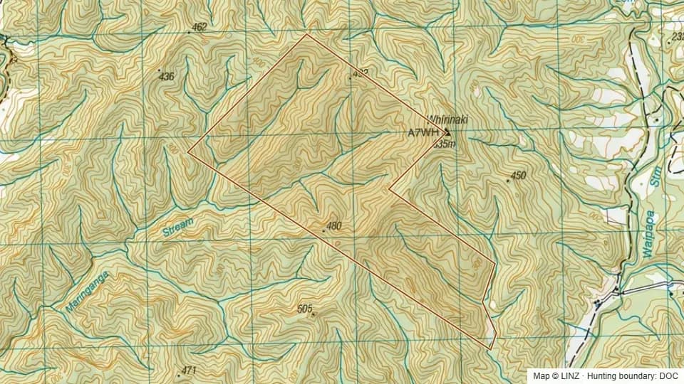 Adams Conservation Area364 ha
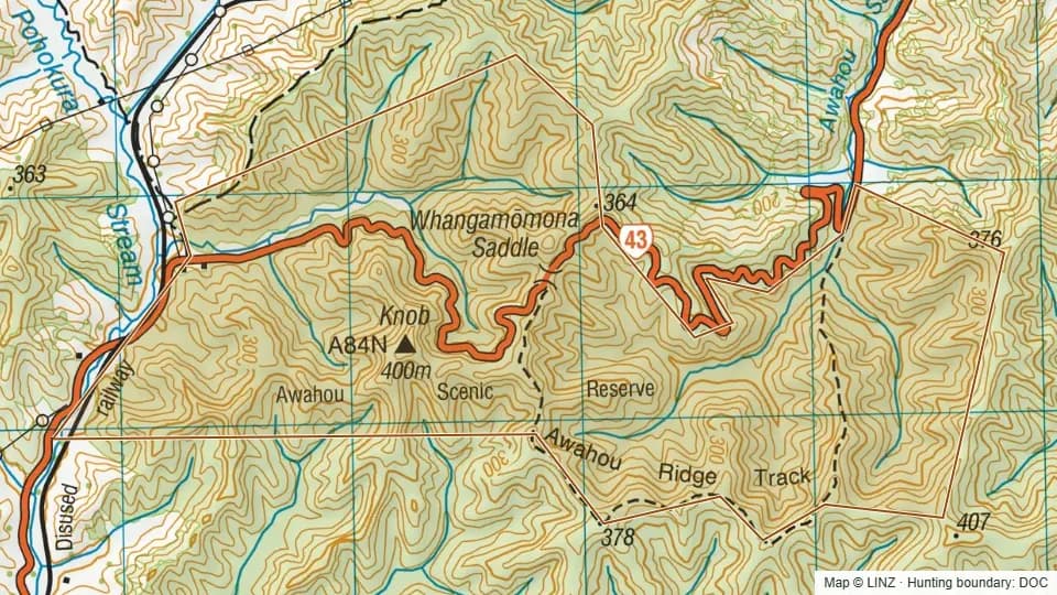 Awahou Scenic Reserve450 ha
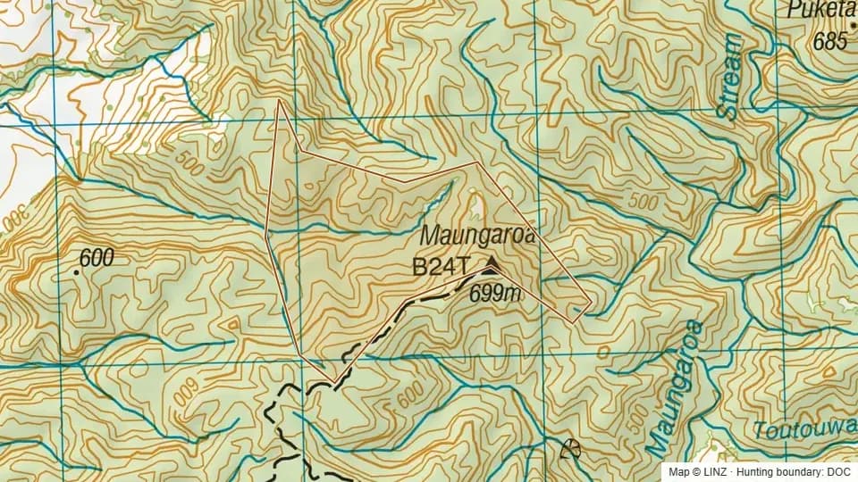 Carvers Block (Pt Taheke C. A.)69 ha
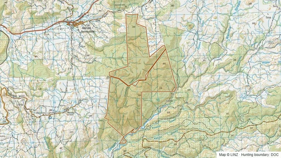 Conservation Area - Mangapehi965 ha
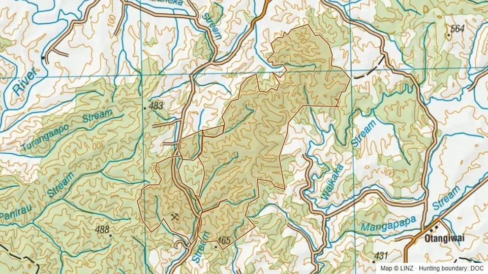 Conservation Area - Waitewhena4,117 ha
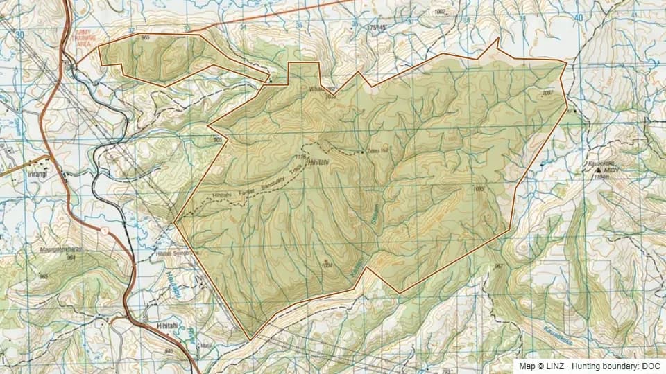 Hihitahi Forest Sanctuary2,395 ha
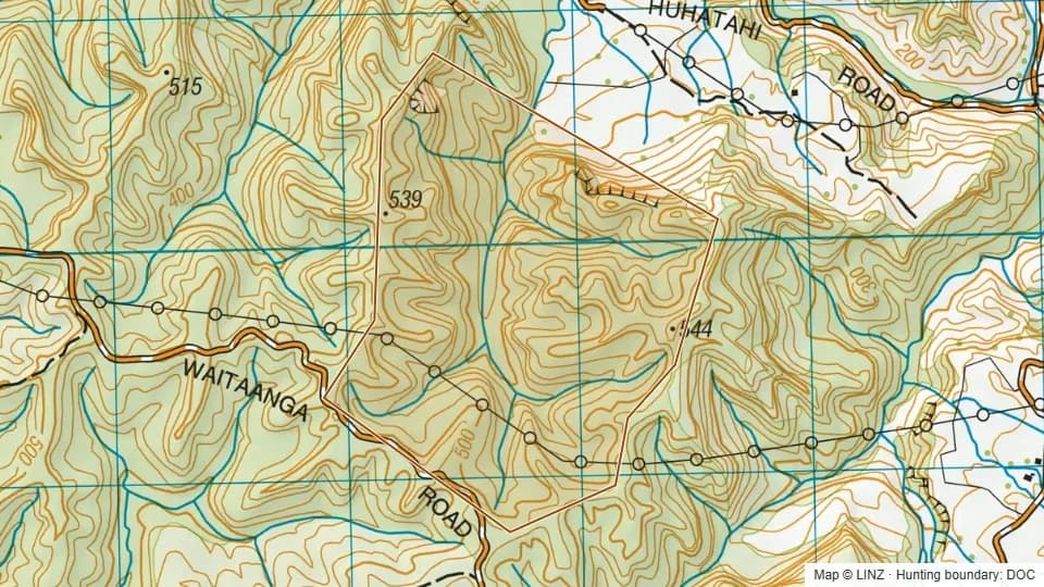 Huhatahi Conservation Area208 ha
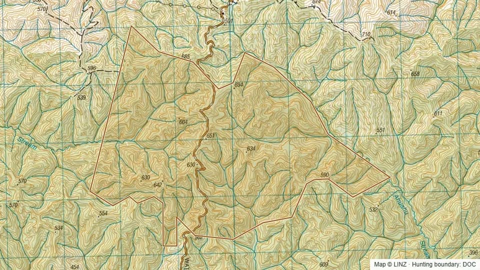 Jean D'arcy Memorial Conservation Area1,085 ha
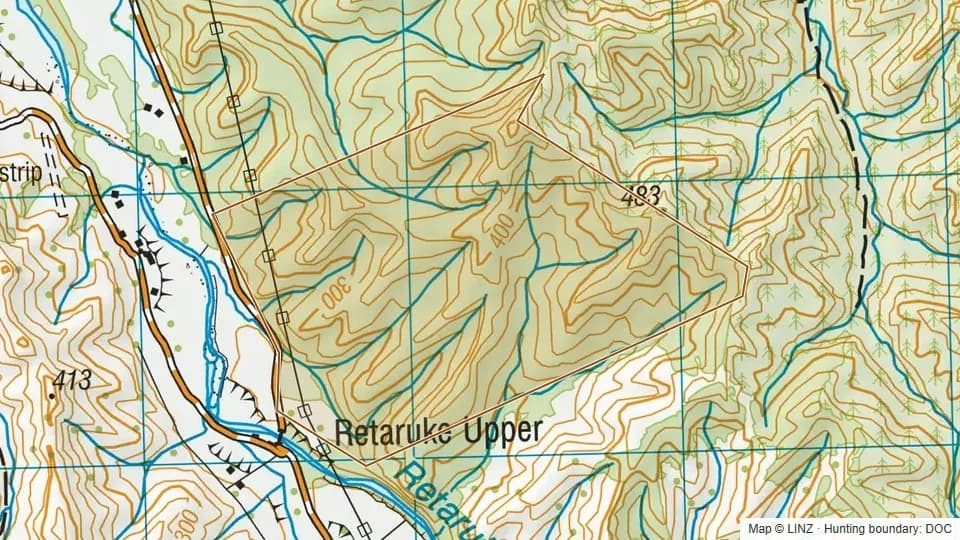 Kauhangaroa Scenic Reserve154 ha
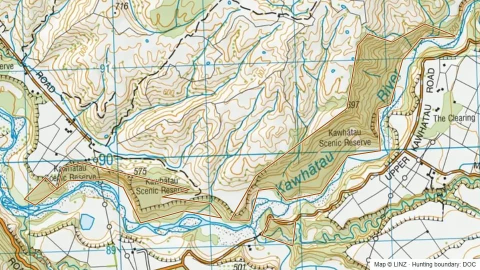 Kawhatau Scenic Reserve168 ha
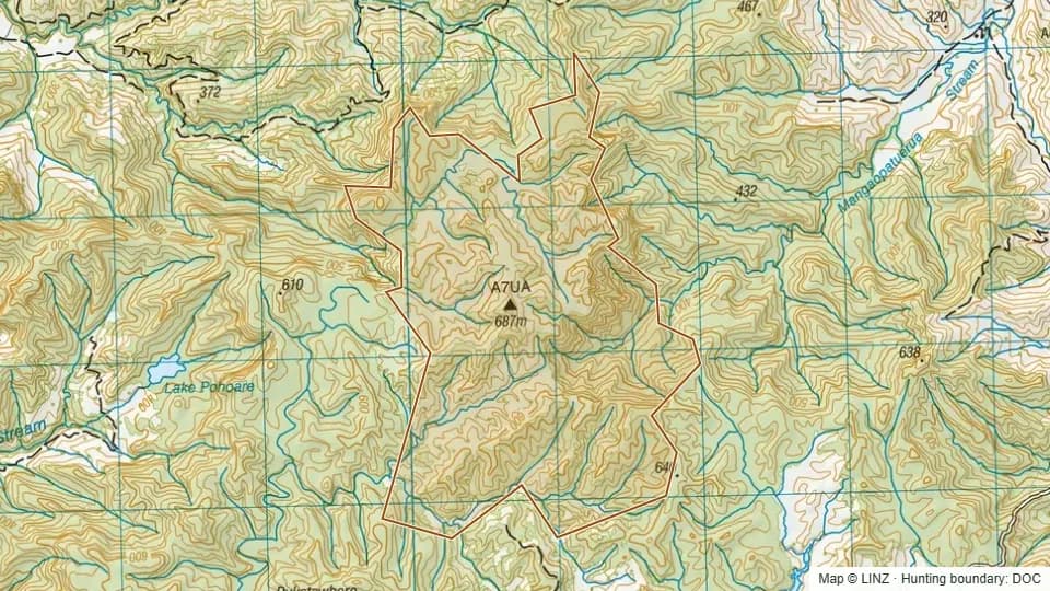 Kokaka Conservation Area453 ha
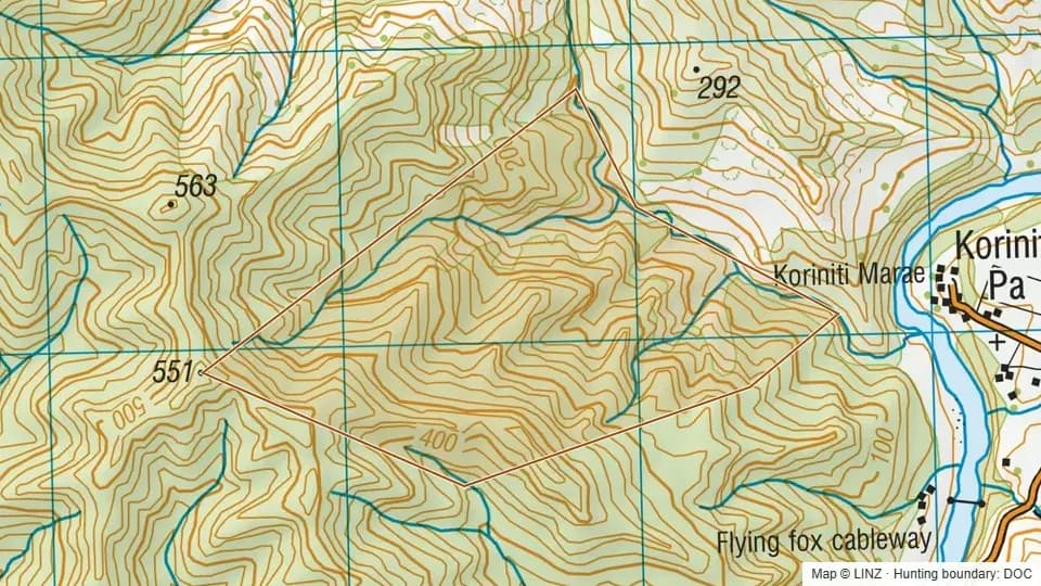 Koriniti Conservation Area136 ha
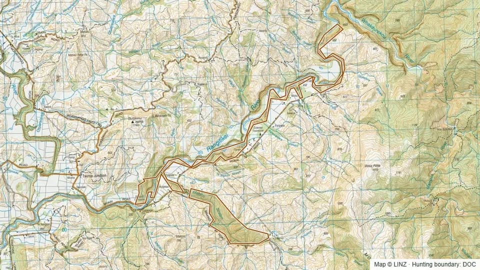 Makino Scenic Reserve (Wellington)370 ha
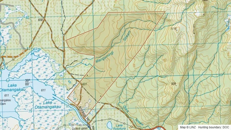 Mangamingi Stream Conservation Area471 ha
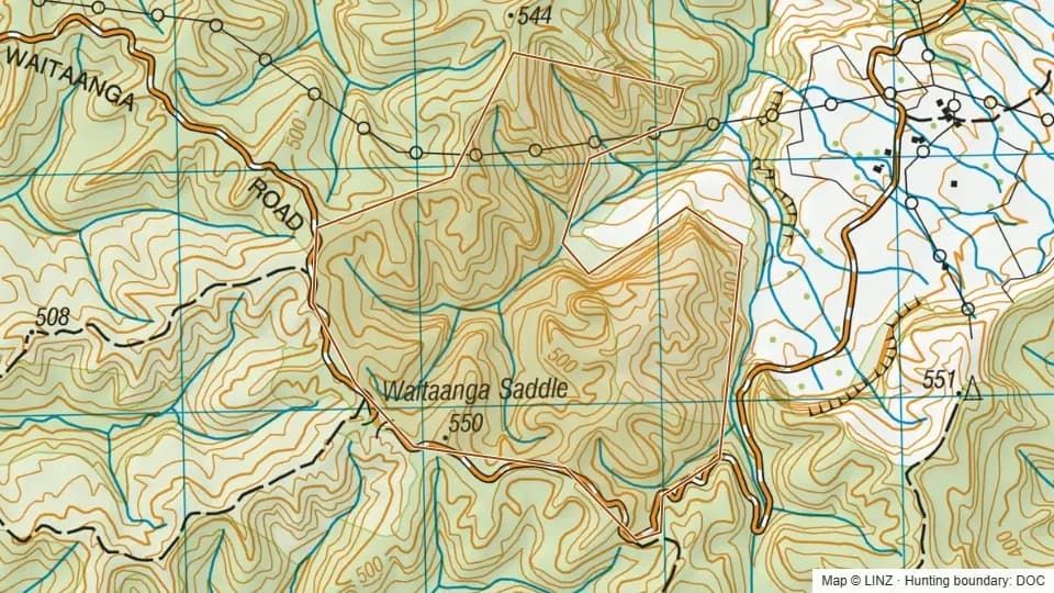 Mangaroa Scenic Reserve211 ha
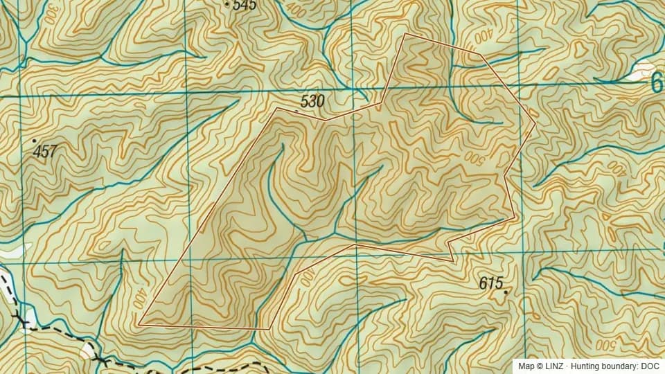 Mangatawai Conservation Area (Pt)202 ha
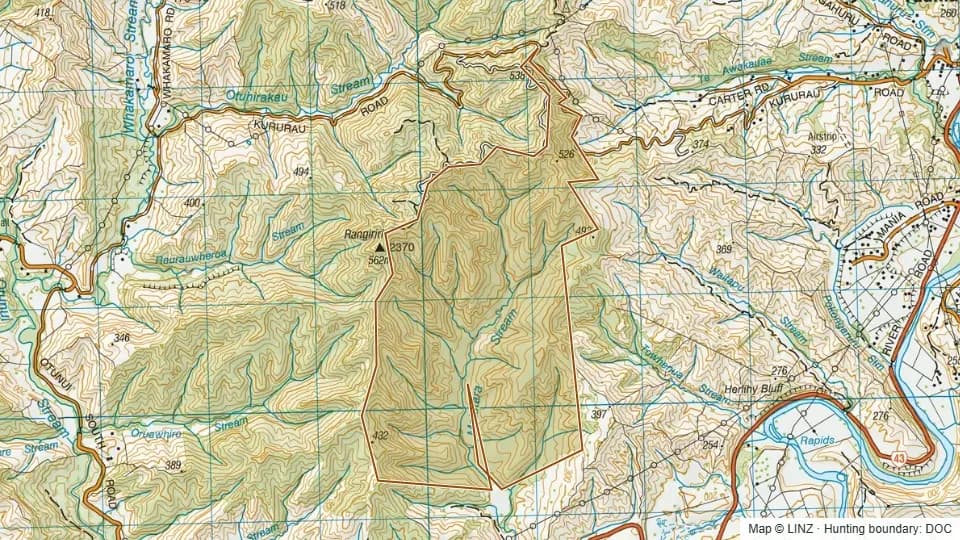 Motutara Scenic Reserve535 ha
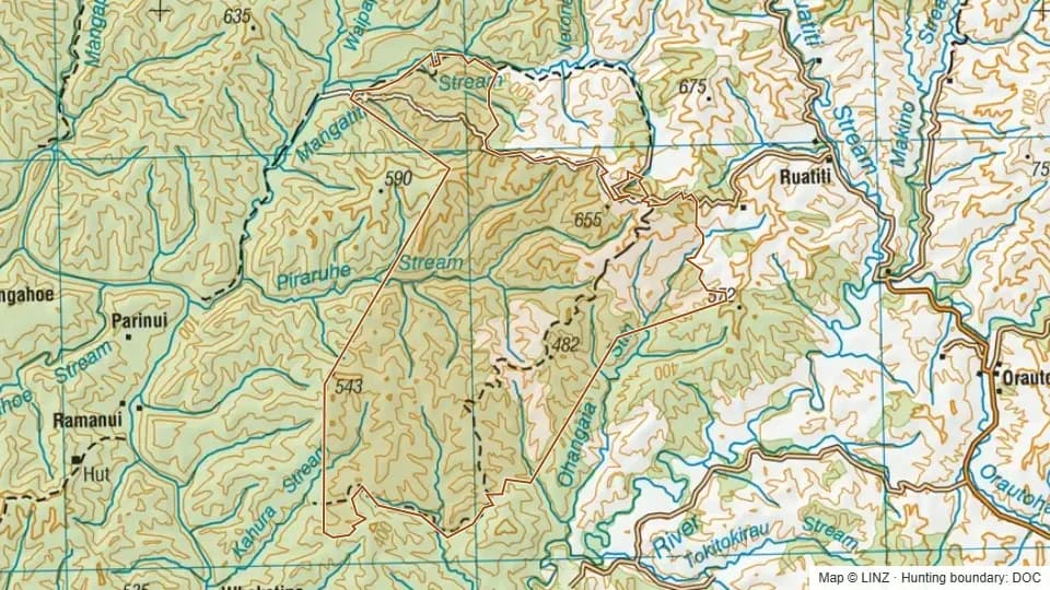 Murumuru Conservation Area5,975 ha
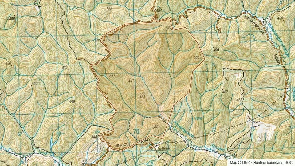 Mystery Block Conservation Area625 ha
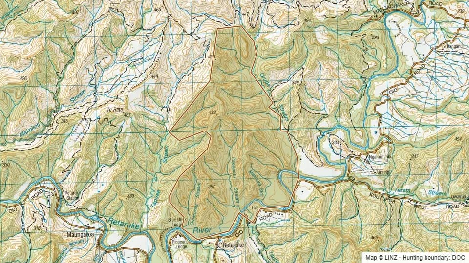 Neilsons Conservation Area687 ha
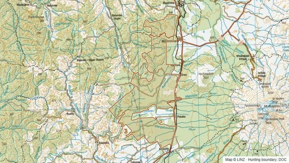 Ngātokoerua Scenic Reserve11,493 ha
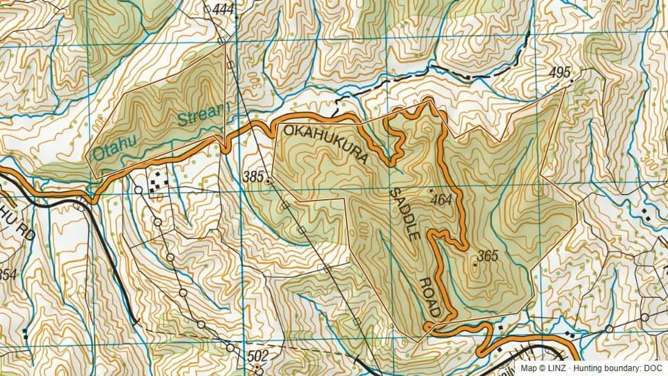 Okahukura Scenic Reserve251 ha
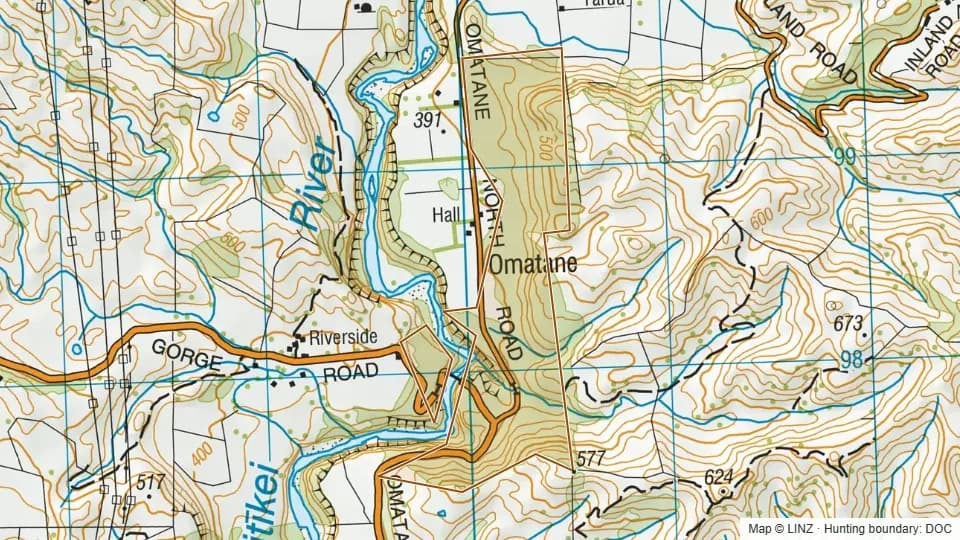 Omatane Scenic Reserve106 ha
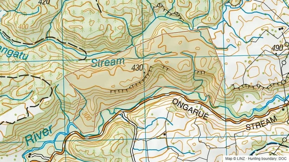 Ongarue Scenic Reserve126 ha
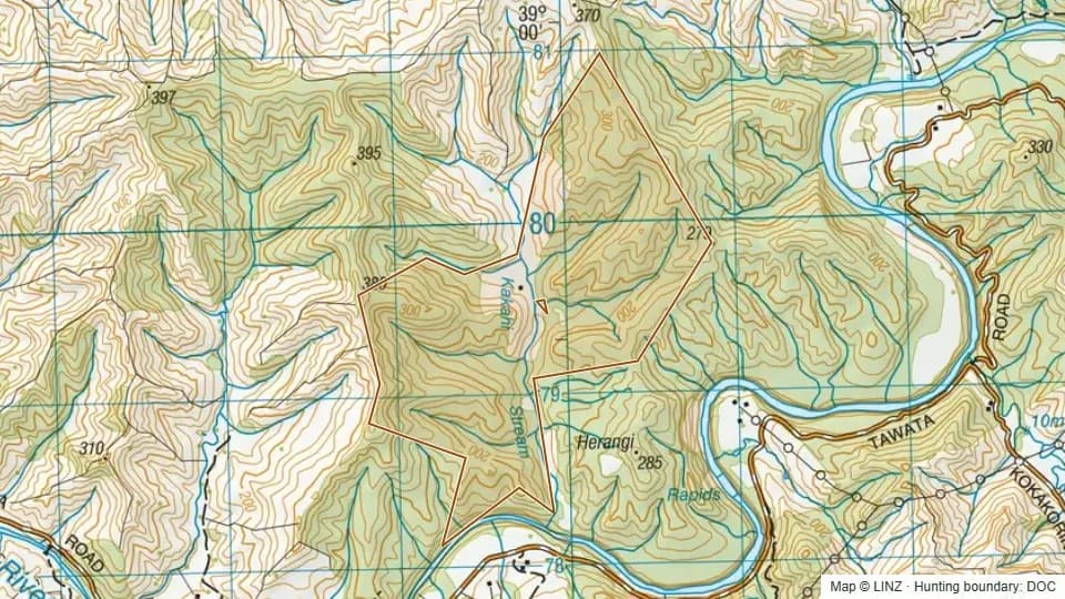 Opatu Conservation Area237 ha
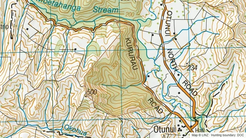 Oruatapu Scenic reserve80 ha
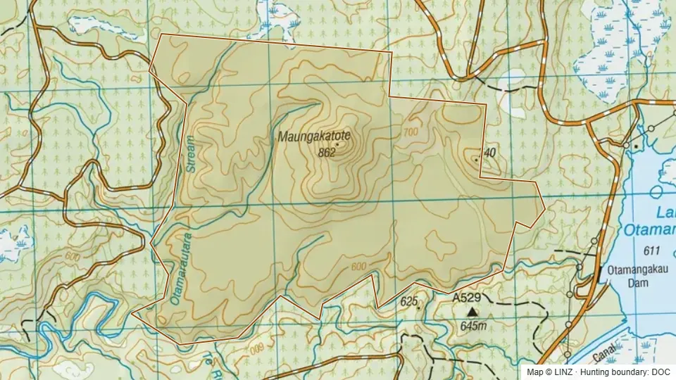 Otamarautara Stream Scenic Reserve568 ha
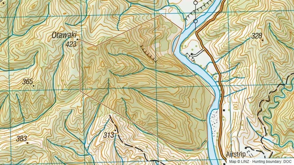 Otawaki Scenic Reserve208 ha
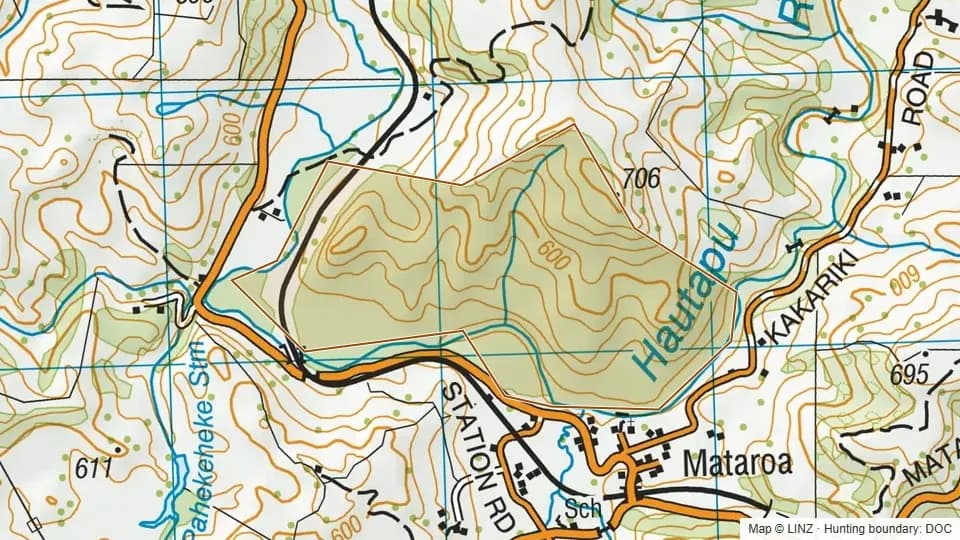 Paengaroa Scenic Reserve117 ha
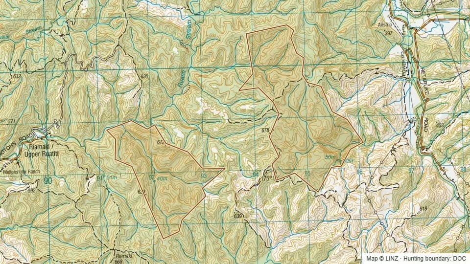 Pairawahipi Scenic Reserve579 ha
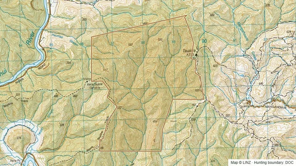 Pitangi Scenic Reserve1,107 ha
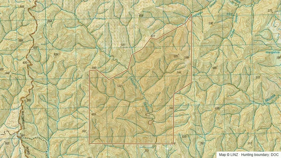 Powataunga Scenic Reserve973 ha
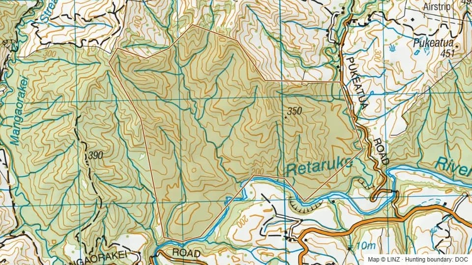 Pukeatua Conservation Area282 ha
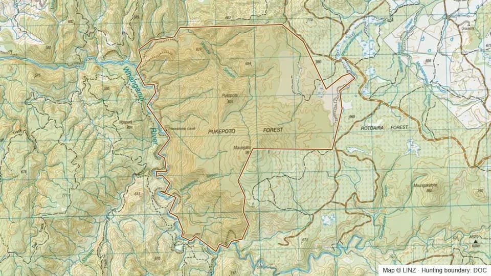 Pukepoto Ecological Area1,901 ha
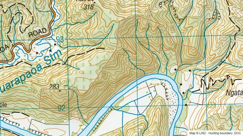 Puketarata Scenic Reserve110 ha
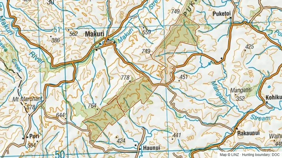 Puketoi Conservation Area1,788 ha
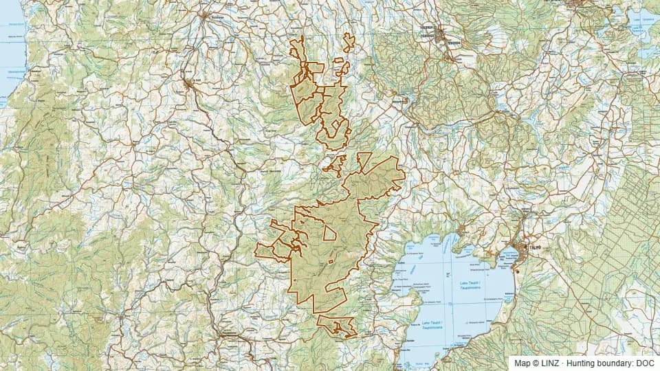 Pureora Forest Park73,753 ha
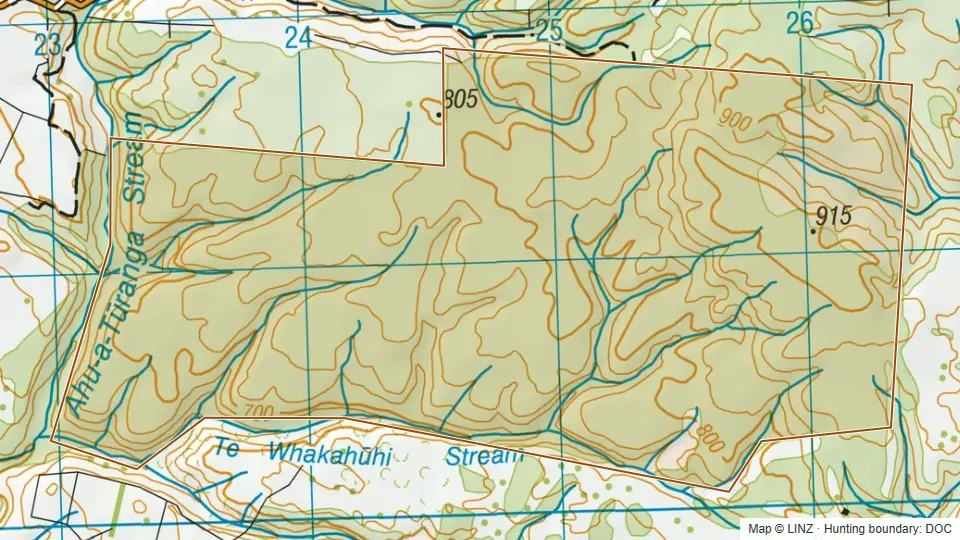 Raketapauma Conservation Area440 ha
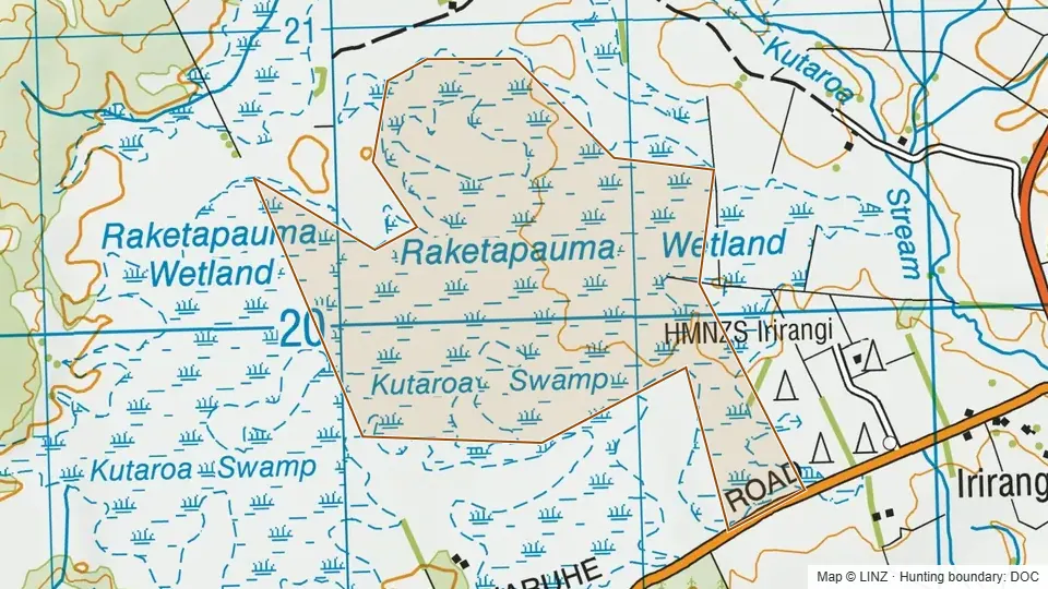 Raketapauma Swamp Scenic Reserve150 ha
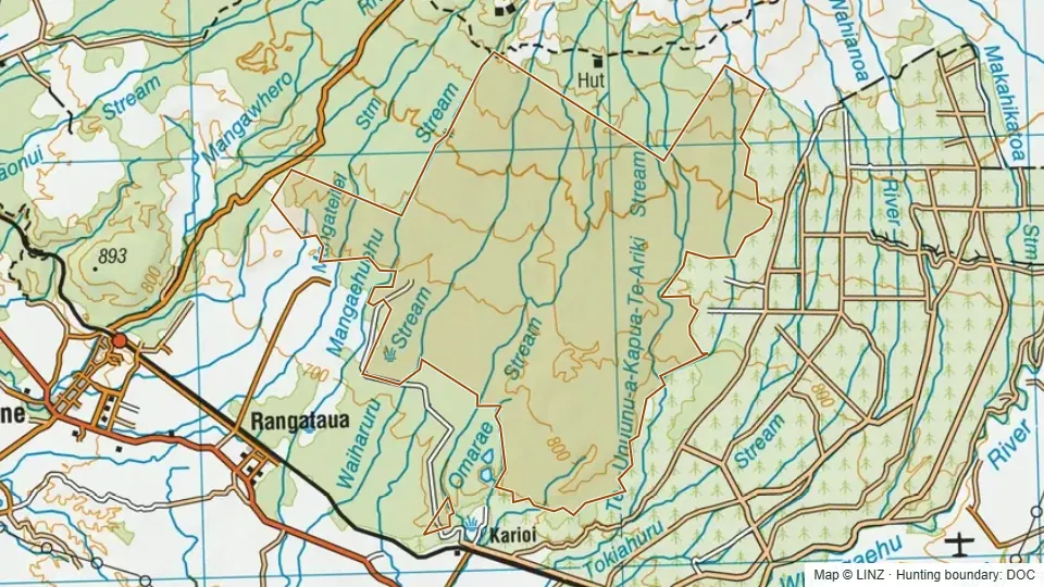 Rangataua Conservation Area6,466 ha
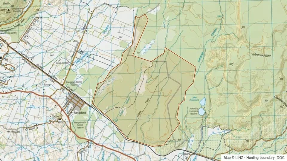 Rangataua No.2 Conservation Area1,297 ha
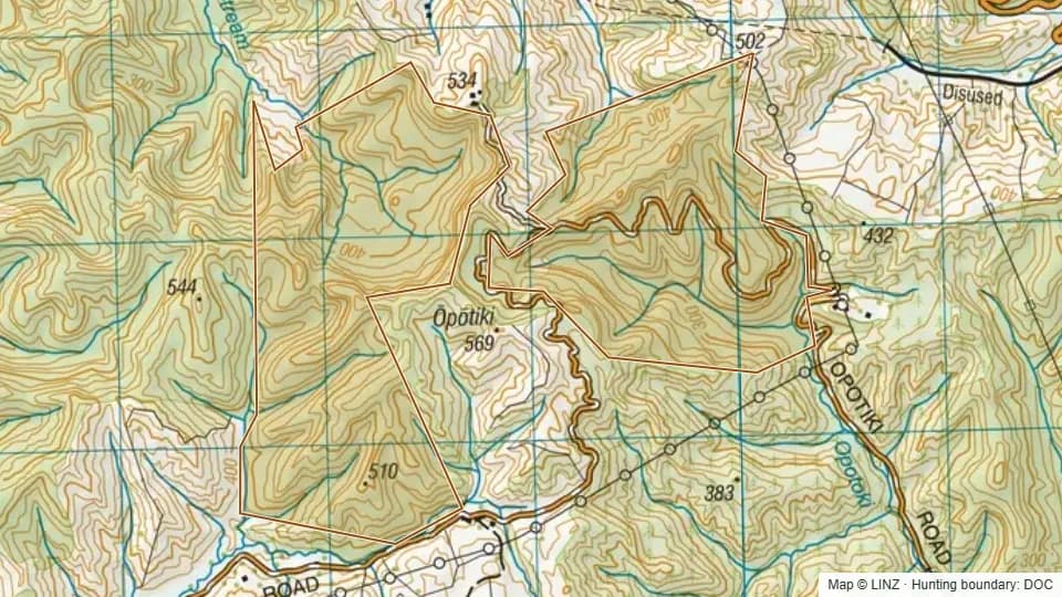 Rangi Scenic Reserve338 ha
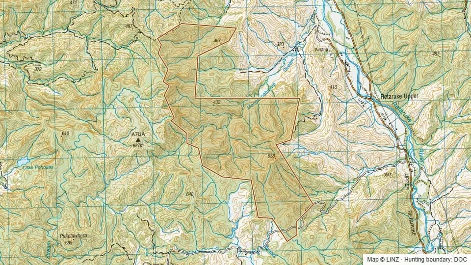 Retaruke Scenic Reserve583 ha
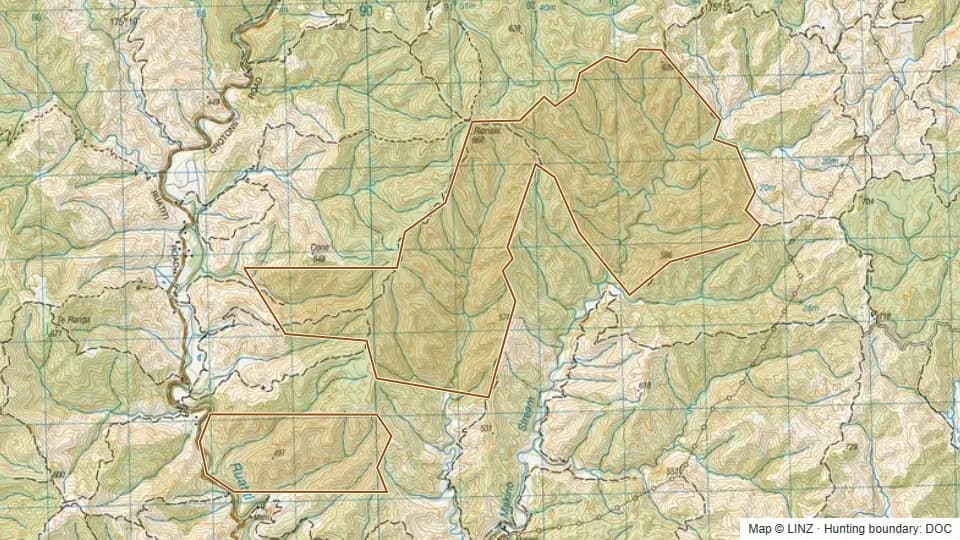 Riariaki Conservation Area1,228 ha
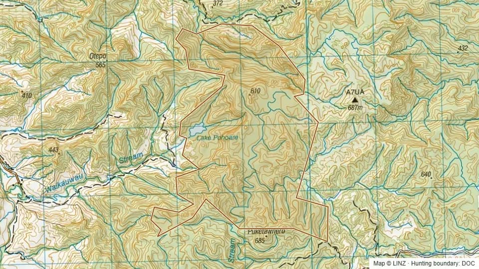 Rotokahu Scenic Reserve509 ha
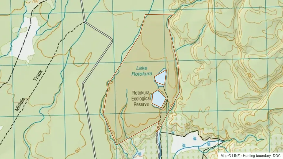 Rotokura Ecological Area226 ha
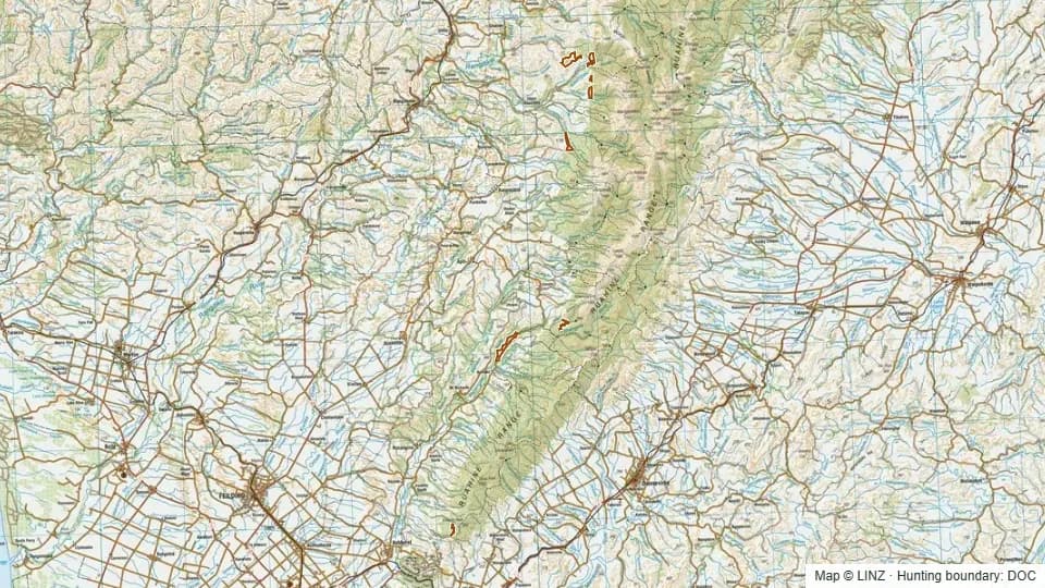 Ruahine Forest (West) Conservation Area455 ha
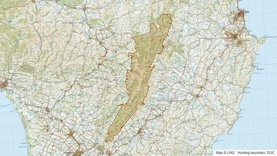 Ruahine Forest Park99,828 ha
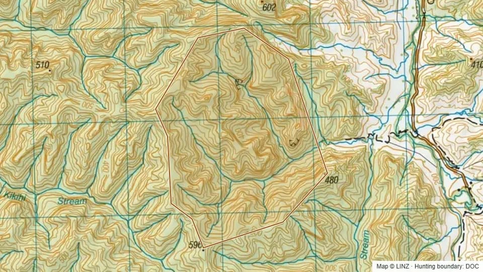 Sec 18 Scenic Reserve289 ha
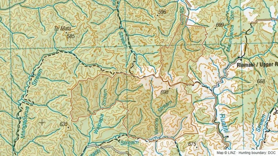 Taheke Conservation Area (Pt)5,655 ha
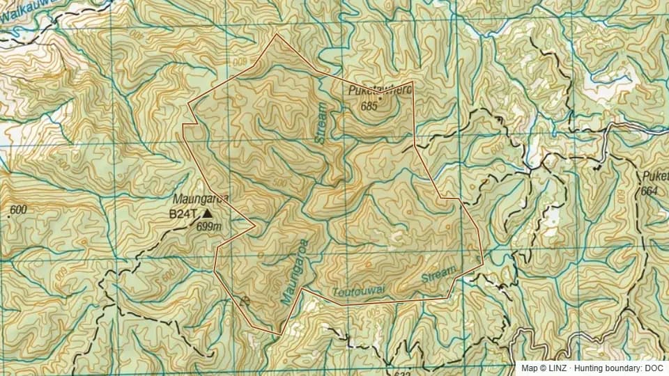 Taheke Conservation Area (Pt)403 ha
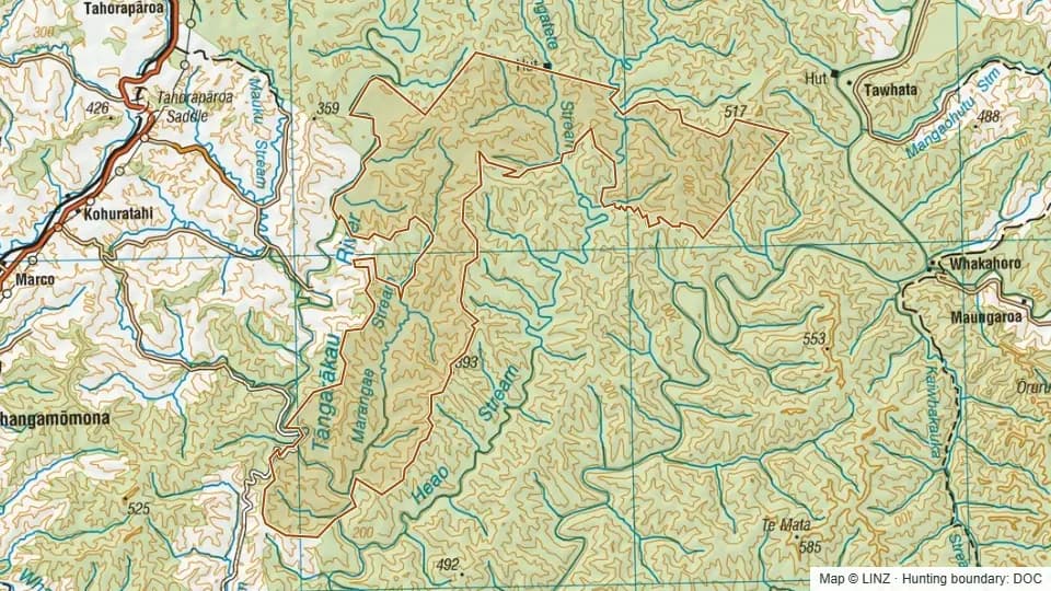 Tangarakau Conservation Area6,648 ha
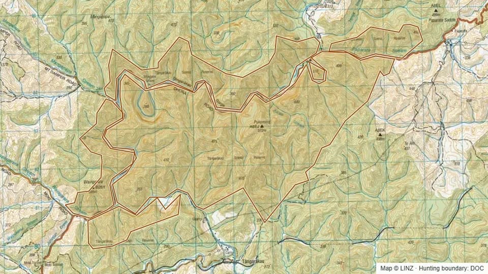 Tangarakau Scenic Reserve2,639 ha
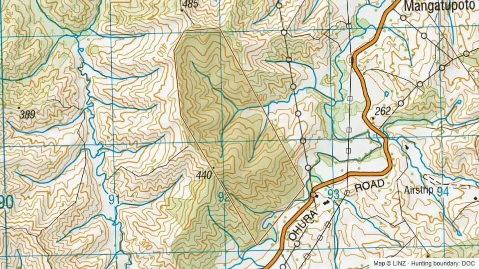 Tangitu Scenic Reserve126 ha
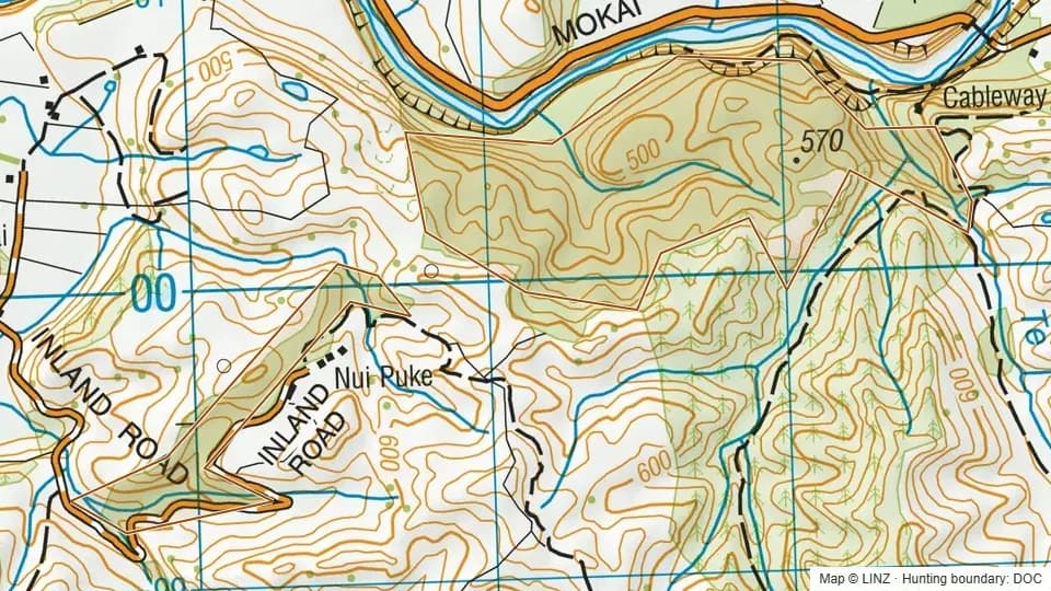 Te Rangipai Scenic Reserve105 ha
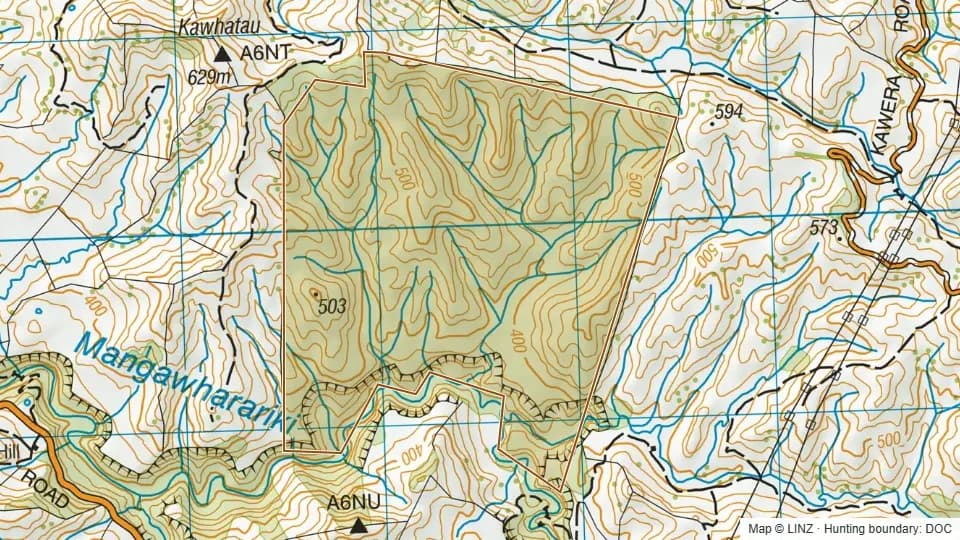 Titirangi Scenic Reserve307 ha
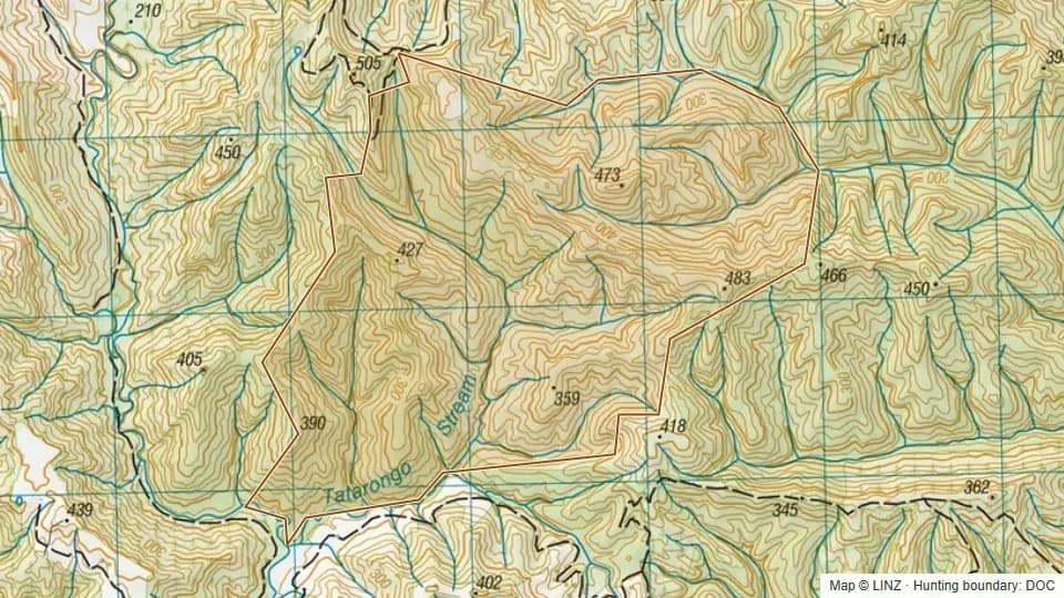 Tokomaru East Block Conservation Area533 ha
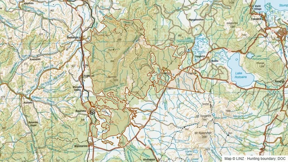 Tongariro Conservation Area22,535 ha
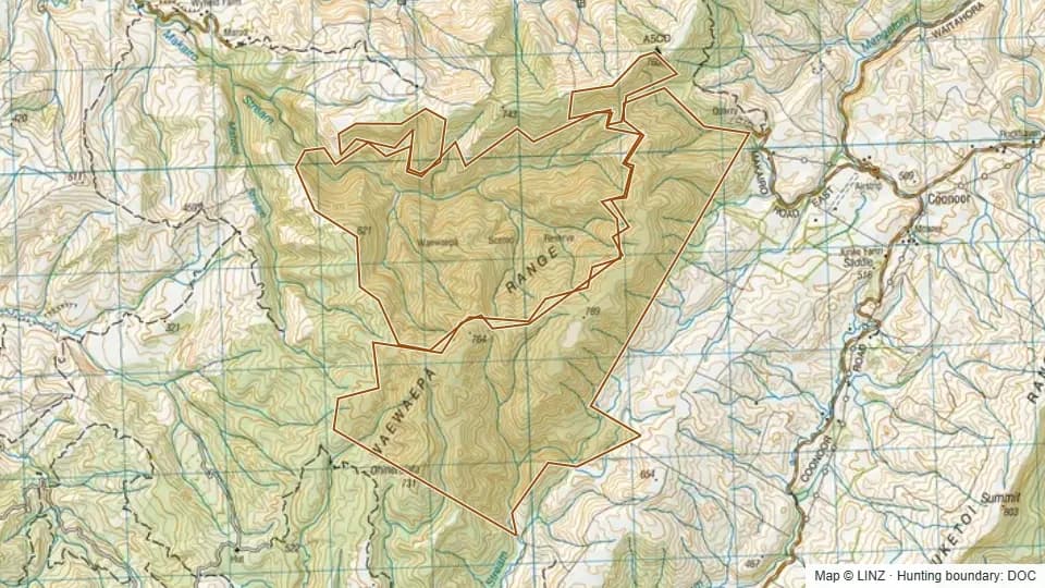 Waewaepa Scenic Reserve1,093 ha
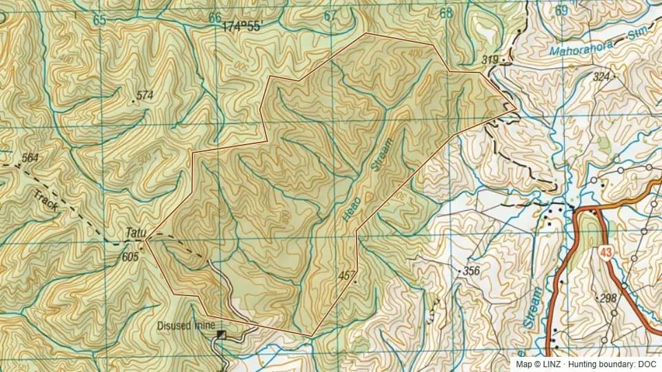 Waiaraia Scenic Reserve406 ha
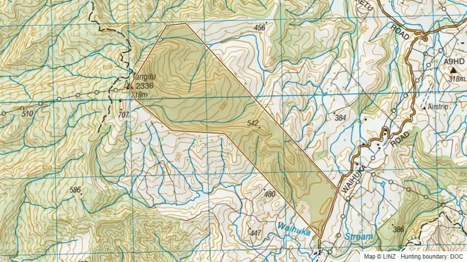 Waihuka Scenic Reserve248 ha
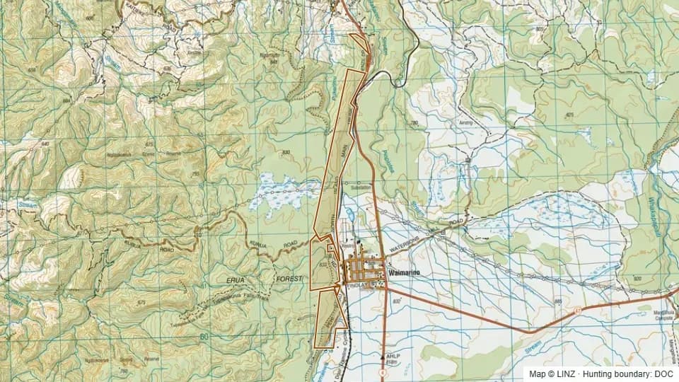 Waimarino Scientific Reserve230 ha
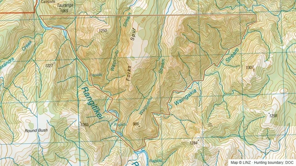 Waingakia Stream Conservation Area817 ha
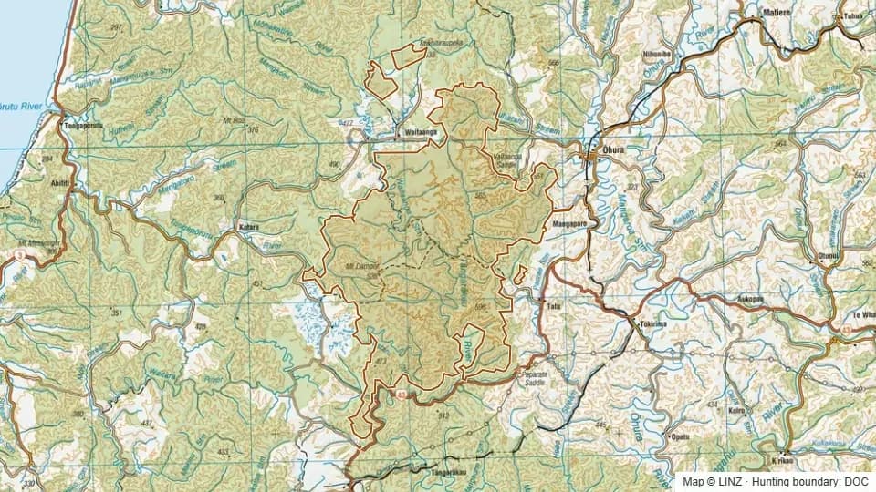 Waitaanga Conservation Area16,708 ha
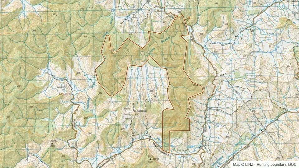 Waitaka Scenic Reserve918 ha
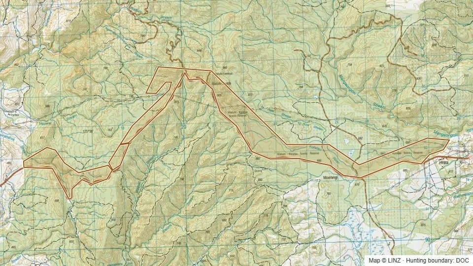 Waituhi-Kuratau Scenic Reserve851 ha
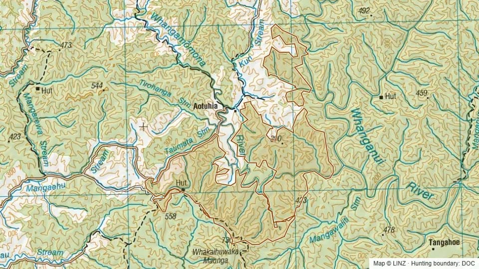 Whangamomona Conservation Area4,977 ha
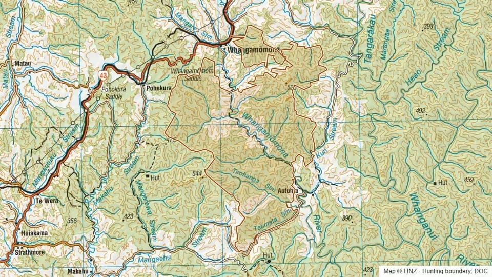 Whangamomona Conservation Area9,607 ha
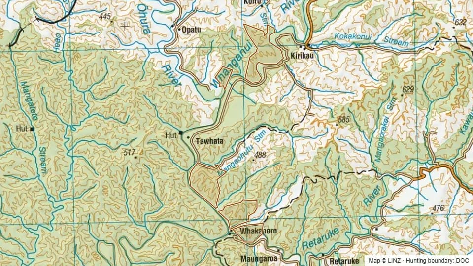 Whanganui National Park1,092 ha
 Whanganui National Park (Pt)44,674 ha
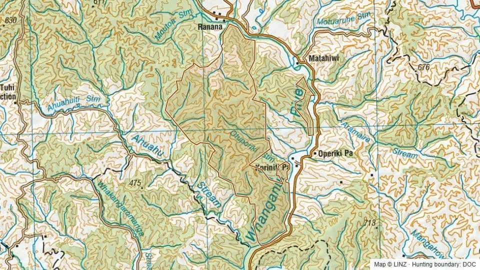 Whanganui National Park (Pt)4,115 ha
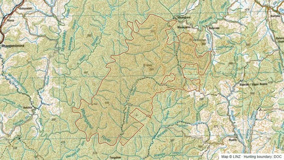 Whanganui National Park (Pt)21,488 ha
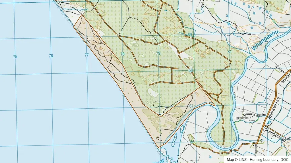 Whitiau Scientific Reserve246 ha
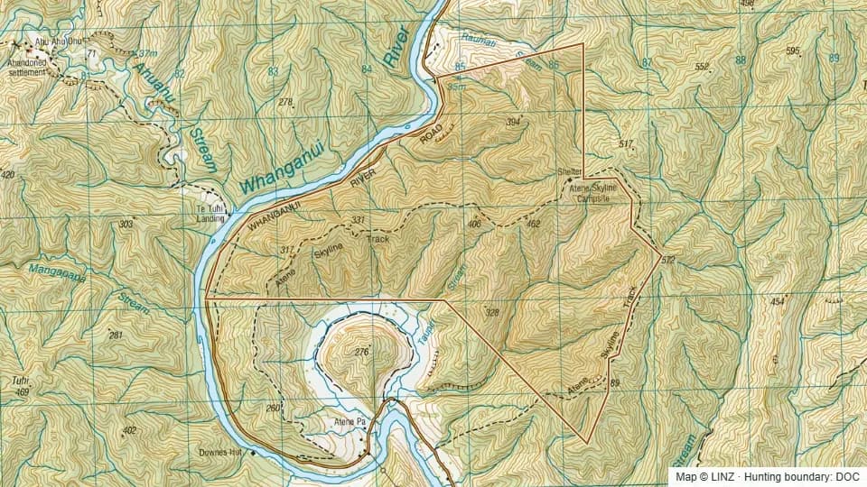 WNP (Pt) - Atene934 ha