Hunting in Canterbury
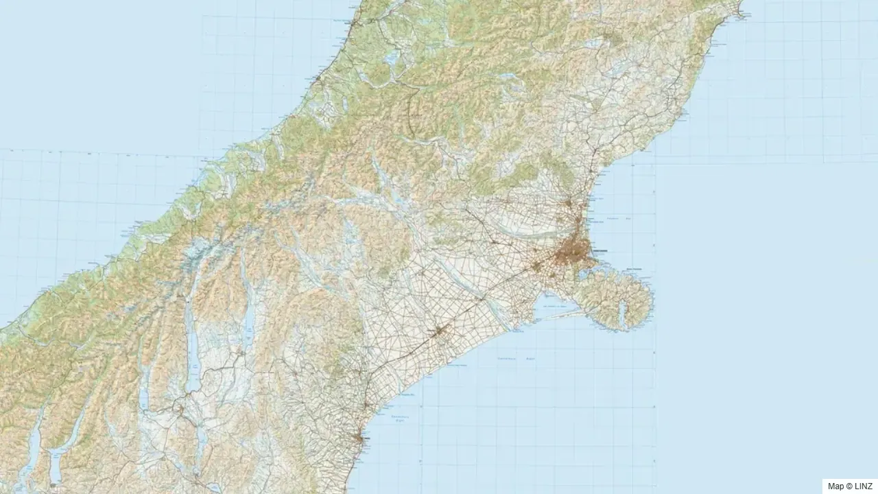
Overview
Canterbury packages a wider variety of hunting country than any other region in New Zealand. The eastern foothills give way to a series of major braided rivers — Rakaia, Rangitata, Hurunui, Waimakariri, Waiau — that climb west into the main divide. Behind those, the Mackenzie Basin, the Hunters Hills, and the inland Kaikoura Range form a vast back country of tussock, beech bush, and alpine top. Canterbury contains the heart of New Zealand's tahr feral range, the country's strongest accessible chamois populations, abundant red deer, and the only meaningful Bennett's wallaby hunting in the country.
For most South Island hunters, Canterbury is the year-round home patch. Christchurch sits within an hour of half a dozen genuinely productive catchments, and the rest of the region can be reached inside half a day from any of the main South Island cities.
What You Can Hunt
- Red deer — abundant through all of the major catchments and tussock basins.
- Tahr — Rakaia and Rangitata headwaters are core feral range. Canterbury holds some of the best public-land tahr country in the country.
- Chamois — present throughout the eastern Southern Alps, including catchments where tahr have been heavily controlled.
- Fallow deer — Banks Peninsula and pockets through the foothills and forestry.
- Bennett's wallaby — South Canterbury foothills, Hunters Hills, and the Mackenzie Basin. The only meaningful Bennett's hunting in New Zealand.
- Wild goat — common in slip country, bush margins, and the inland tussock.
- Wild pig — present in the eastern hill country, particularly inland from Geraldine and Timaru.
Where to Hunt
- Rakaia and Rangitata headwaters — classic tahr and chamois country. Easily accessible from Christchurch or Timaru via the gorge roads.
- Arthur's Pass National Park — alpine country on the main divide. Red deer and chamois; tahr at the southern edges.
- Lewis Pass / Lake Sumner Forest Park — beech bush and tops. Red deer and chamois, plus the eastern end of the Spenser Mountains.
- Waimakariri and Hurunui headwaters — high-country basins, red deer and chamois.
- Inland Kaikoura Range (Canterbury side) — bush-and-tops country; red deer and chamois.
- Mackenzie Basin — vast tussock high country and braided rivers. Red deer, Bennett's wallaby, hare. Access varies — much is high-country station leasehold.
- Hunters Hills — South Canterbury, the core of Bennett's wallaby country. Mixed conservation land and private station.
- Banks Peninsula — dispersed fallow deer and goat in regenerating bush, mostly on private land by arrangement.
Getting In
- Road — every major catchment has road access to within a few kilometres of the bush or tussock edge. State Highways 73 (Arthur's Pass), 7 (Lewis Pass), 8 (Mackenzie), and 1 (north and south) frame the region.
- Foot — all conservation-land hunting is foot access from the road end. Tracks and huts are well developed in the forest parks and headwater valleys.
- Air — fixed-wing landing strips at Mesopotamia, Erewhon, and several other high-country stations. Helicopter access into tahr and chamois country is heavily used and a long-established part of Canterbury hunting culture, subject to current DOC rules.
- Water — minor in Canterbury. Jet boats are used on the lower braided rivers but are rarely the primary access for hunting trips.
Seasons & Weather
Canterbury is the driest of the major hunting regions, with a clearer four-season pattern than the wetter West Coast or Fiordland.
| Period | What's happening | Notes |
|---|---|---|
| Mar–Apr | Red roar | Reliable through Rakaia, Rangitata, Hurunui, and Lewis Pass country. |
| Apr | Fallow rut | Banks Peninsula and foothills. |
| May–Jul | Tahr and chamois rut | Rakaia, Rangitata, and inland Kaikoura. |
| Jun–Aug | Winter | Heavy snow on the tops; valley floors workable. Avalanche risk in the alps. |
| Sep–Nov | Spring | Velvet stags, chamois on south faces, wallaby active on warm days. |
| Dec–Feb | Summer | Hot in the basins; tops accessible. Wallaby hunting at dawn and dusk. |
The nor'wester is the defining Canterbury weather pattern — hot, dry, and ferocious on the eastern slopes; clear and windy on the tops. Cold southerlies follow with rapid snow drops.
Gear & Conditions
Canterbury hunting ranges from short bush stalks to genuine alpine work. A flat-shooting medium-calibre rifle (6.5mm–.30 cal) covers everything from chamois at distance to bull tahr in steep country. Optics matter more here than in the bush country — much of the hunting is glassing-led. For tahr trips, expect to camp on snow at altitude; for wallaby trips, a flat-shooting rimfire or light centrefire is more appropriate. Boots that handle scree and shingle, an ice axe and crampons for serious alpine work, and quality avalanche awareness in winter are all part of the kit list.
Permits & Regulations
A free DOC permit covers public conservation land throughout the region. Tahr hunting takes place within the framework of DOC's active aerial-control programme — check current control status before any trip. Helicopter access concessions vary by park — verify current rules. Bennett's wallaby is classed as a pest under the Canterbury Regional Pest Management Plan; hunters are encouraged, but live movement of wallabies is illegal under the National Pest Management Plan. Many high-country stations carry public-access easements via the Walking Access Commission — check the map before crossing leasehold country.
Open the Map
Open Canterbury in the full hunting map →
National parks, forest parks, hunting blocks, tracks, huts, walking-access areas, and current pesticide operations across the Canterbury high country.
Useful Links
Game animals in Canterbury
Hunting areas in Canterbury
99 DOC hunting blocks — species, huts, access and an interactive map for each.
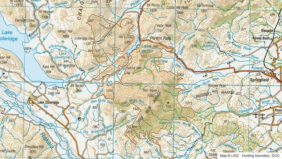 13 Mile Bush10,882 ha
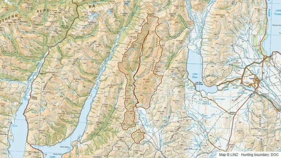 Ahuriri27,792 ha
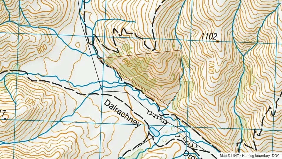 Ahuriri Conservation Area2,118 ha
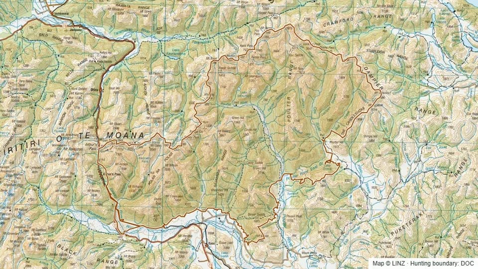 Arthur's Pass East67,057 ha
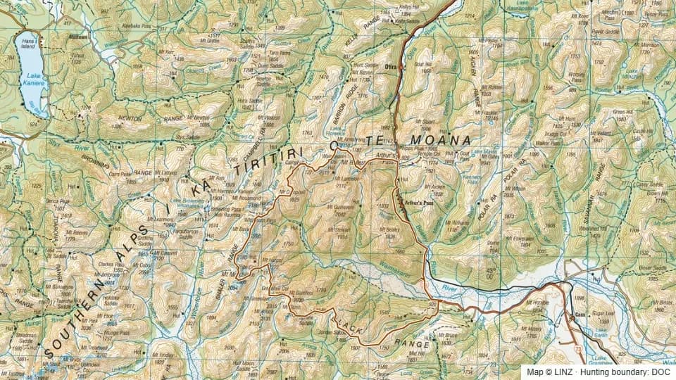 Arthur's Pass West20,107 ha
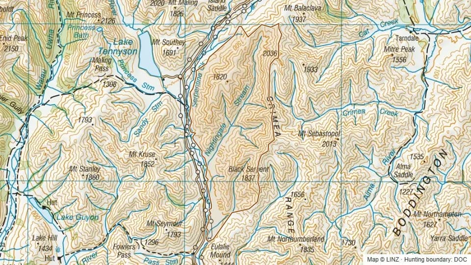 Beggs4,965 ha
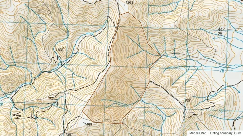 Ben Dhu Conservation Area264 ha
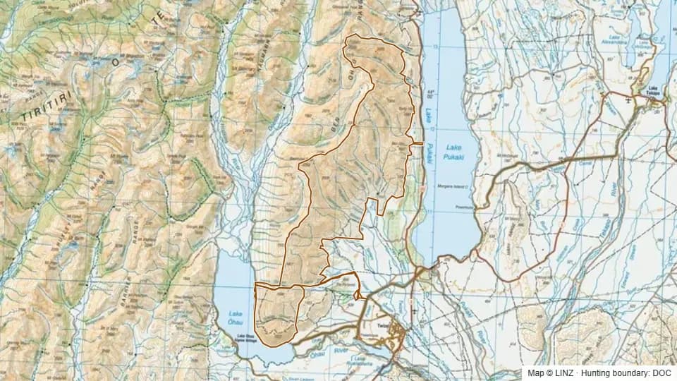 Ben Ohau25,639 ha
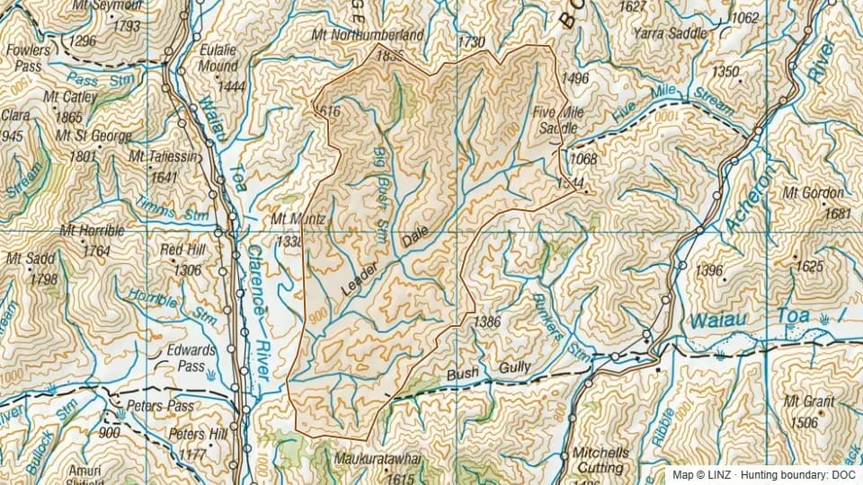 Big Bush7,008 ha
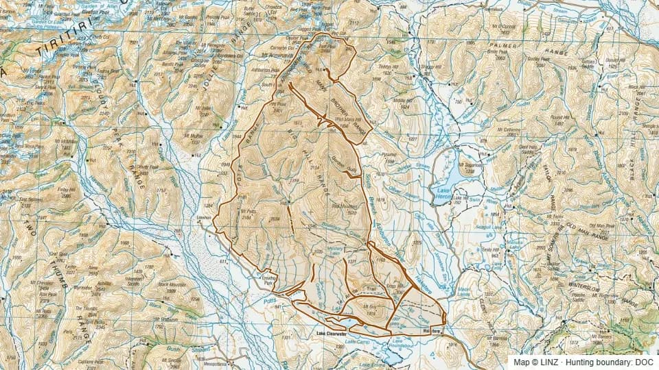 Big Hill/ Potts/ Clearwater/ Cameron36,335 ha
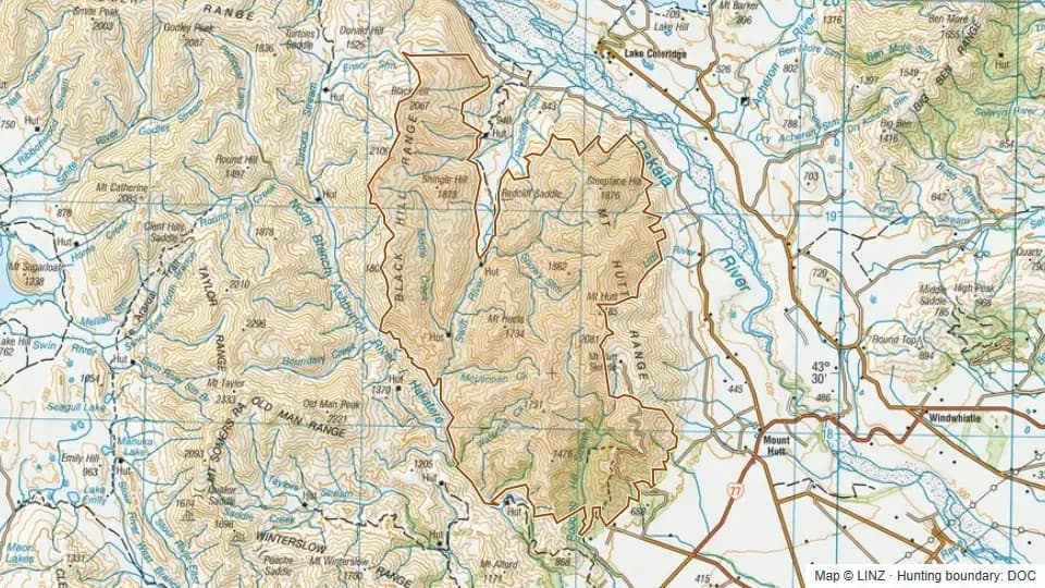 Black Hill Range/ Mount Hutt18,166 ha
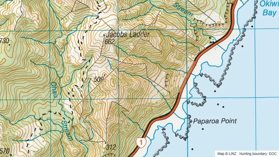 Black Miller Stream Mangamaunu Scenic Reserve142 ha
 Bluc Duck Scientific Reserve153 ha
 Blue Mountain Conservation Area2,747 ha
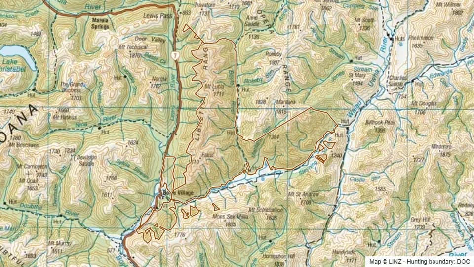 Boyle River8,102 ha
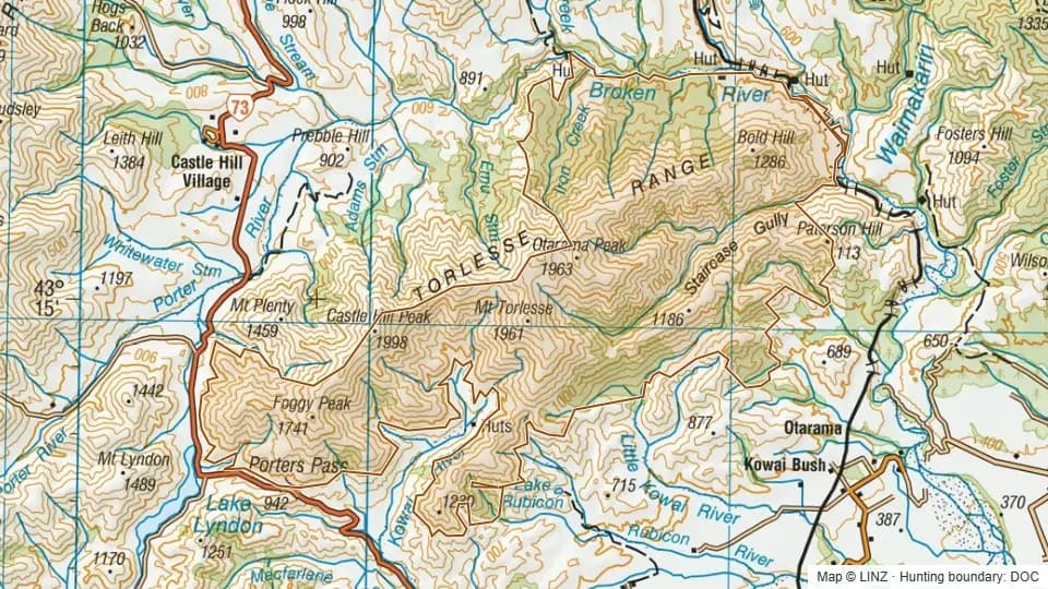 Broken River10,042 ha
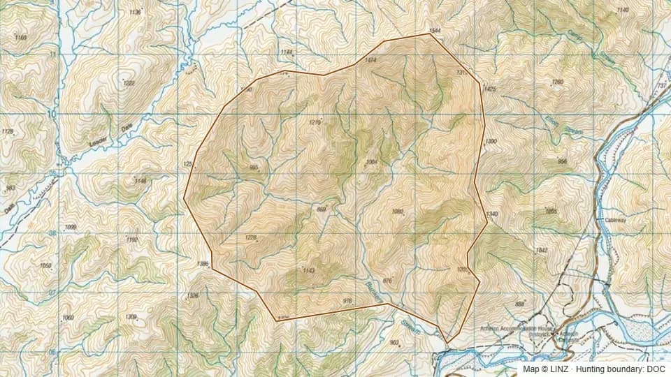 Bunkers1,886 ha
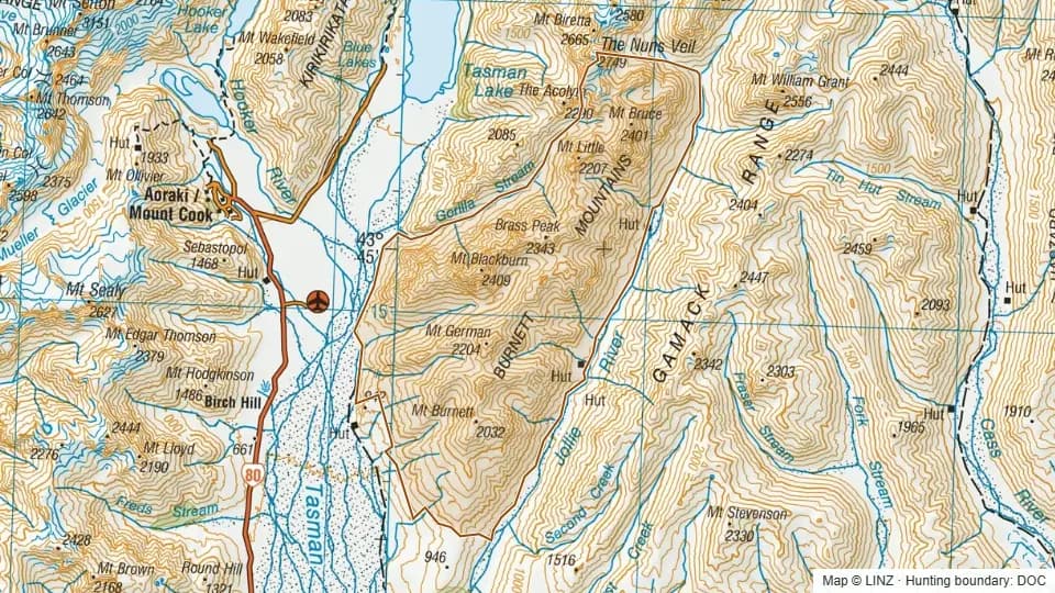 Burnett8,335 ha
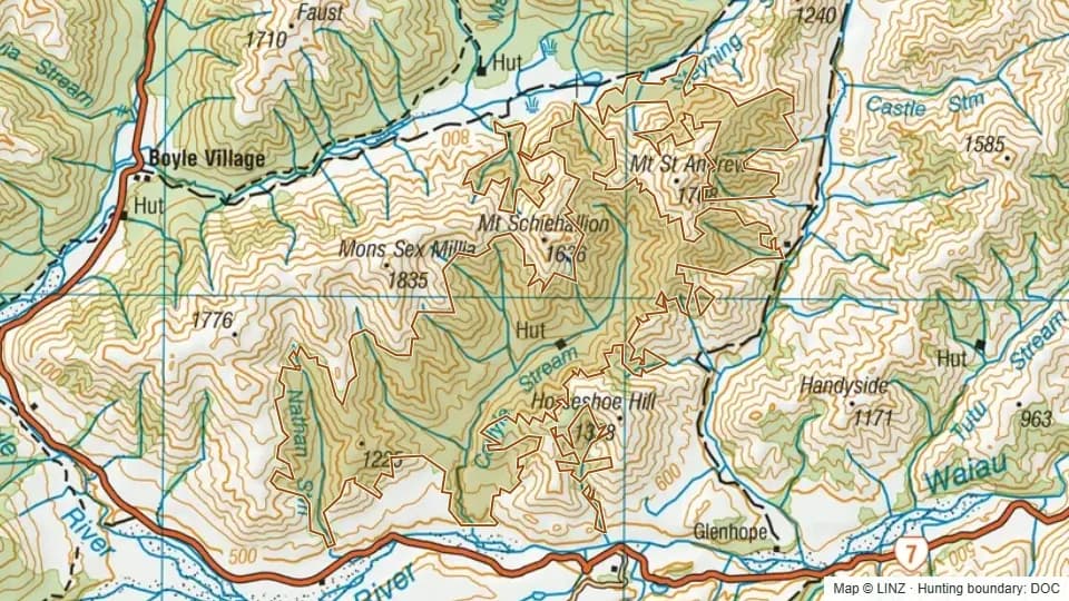 Carlyle4,182 ha
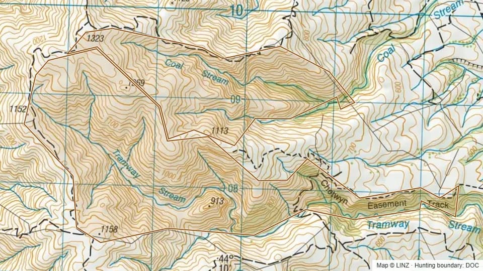 Chetwynd Conservation Area610 ha
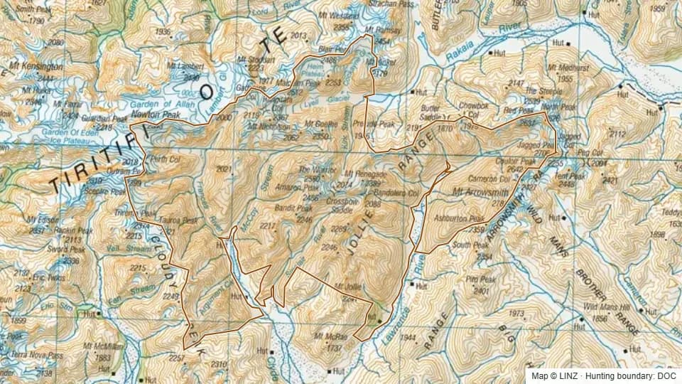 Clyde - Lawrence22,035 ha
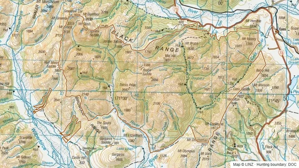 Craigieburn31,313 ha
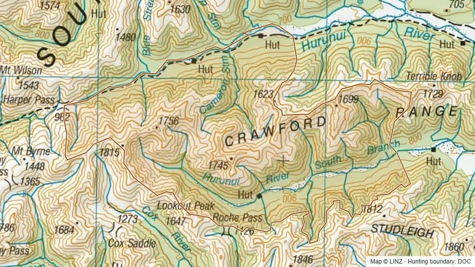
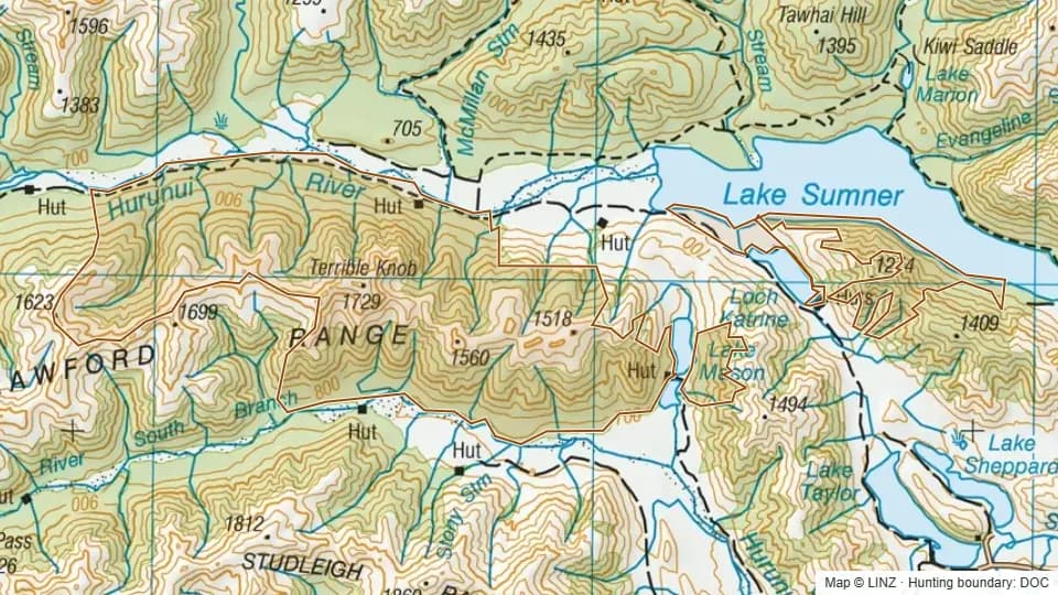 Crawford Range5,787 ha
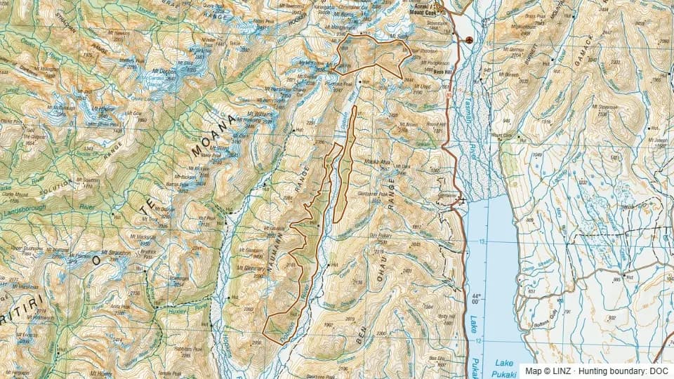 Dobson6,288 ha
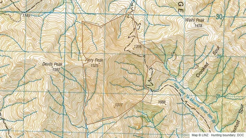 Four Peaks Range Conservation Area Tops372 ha
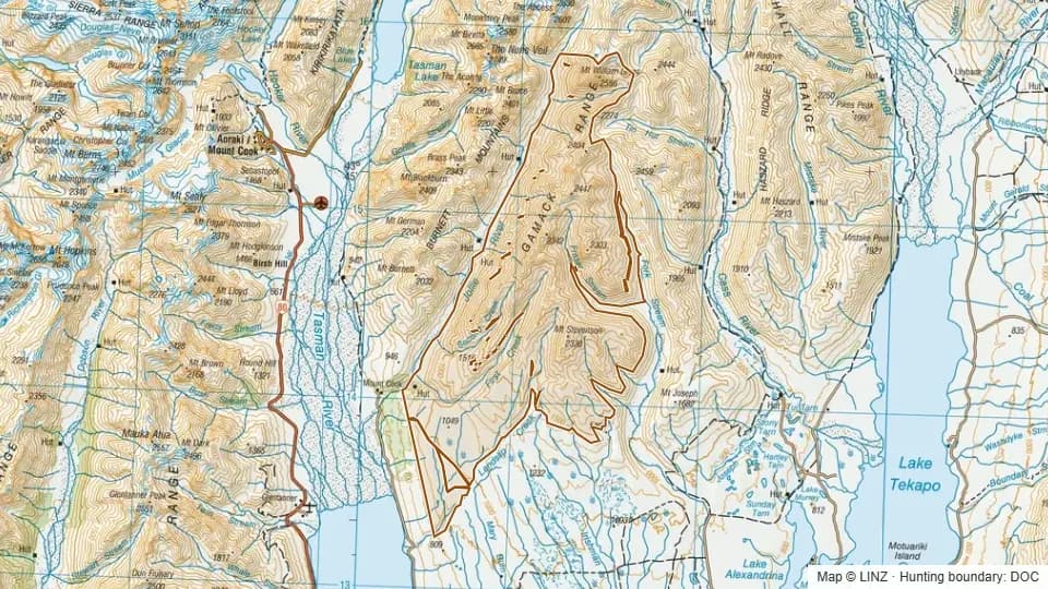 Gamack16,128 ha
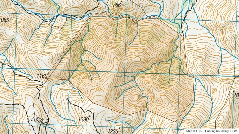 Glen Creek362 ha
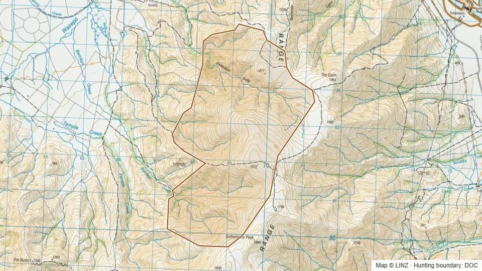 Glenbrook - Firearms prohibited on access tracks1,464 ha
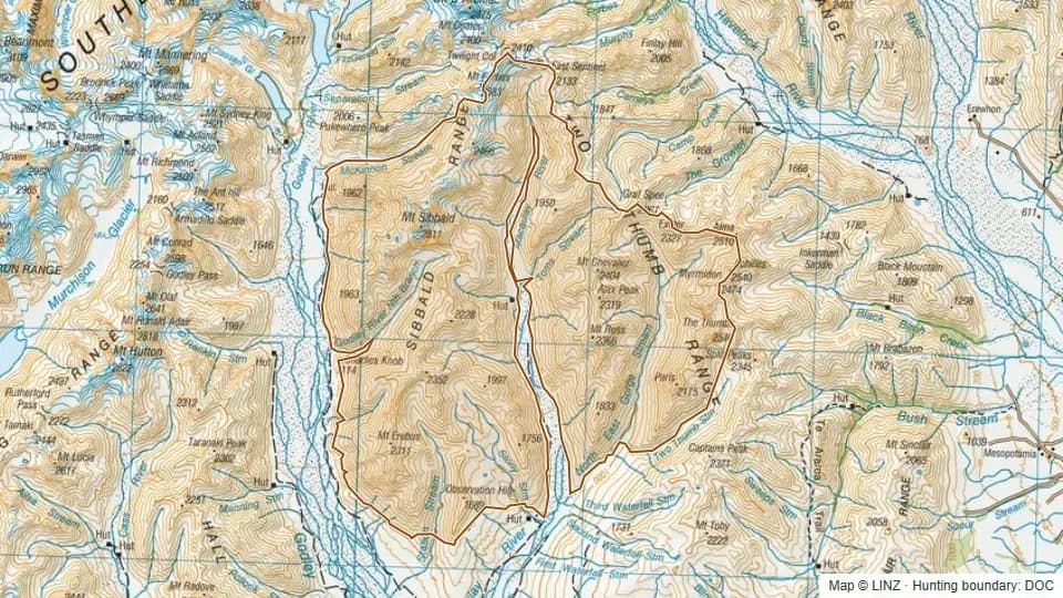 Godley - Macaulay24,603 ha
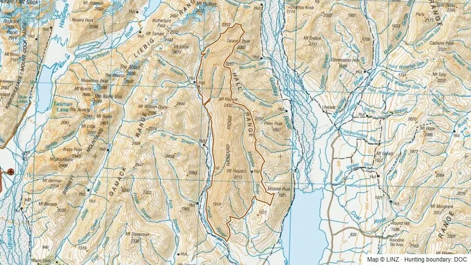 Hall Range9,132 ha
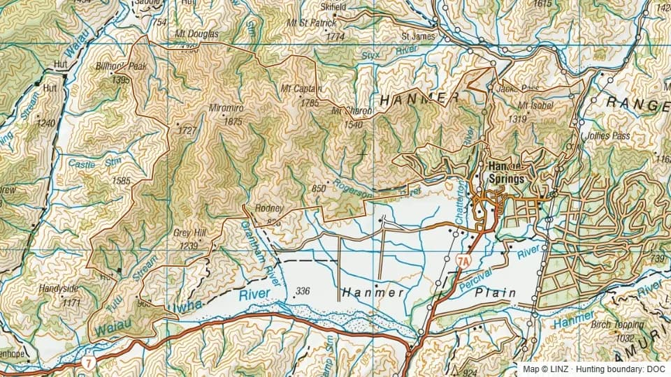 Hanmer Forest13,758 ha
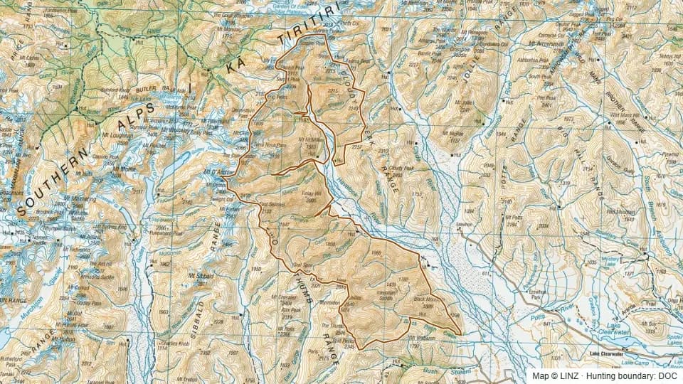 Havelock23,846 ha
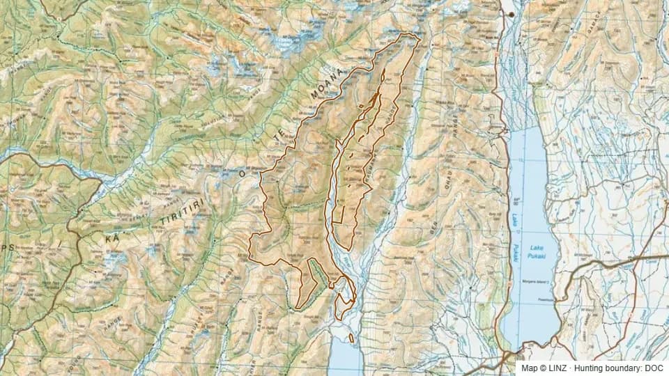 Hopkins - Huxley21,782 ha
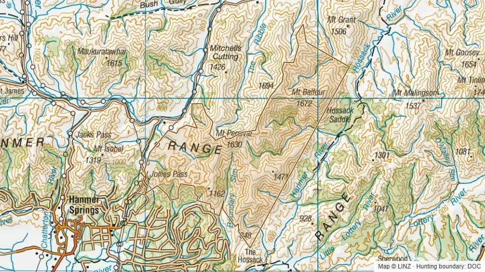 Hossack5,473 ha
 Hurunui Mainland Island restricted8,051 ha
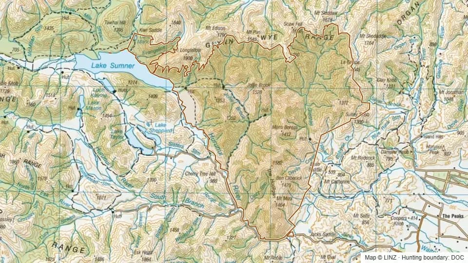 Jollie Brook22,056 ha
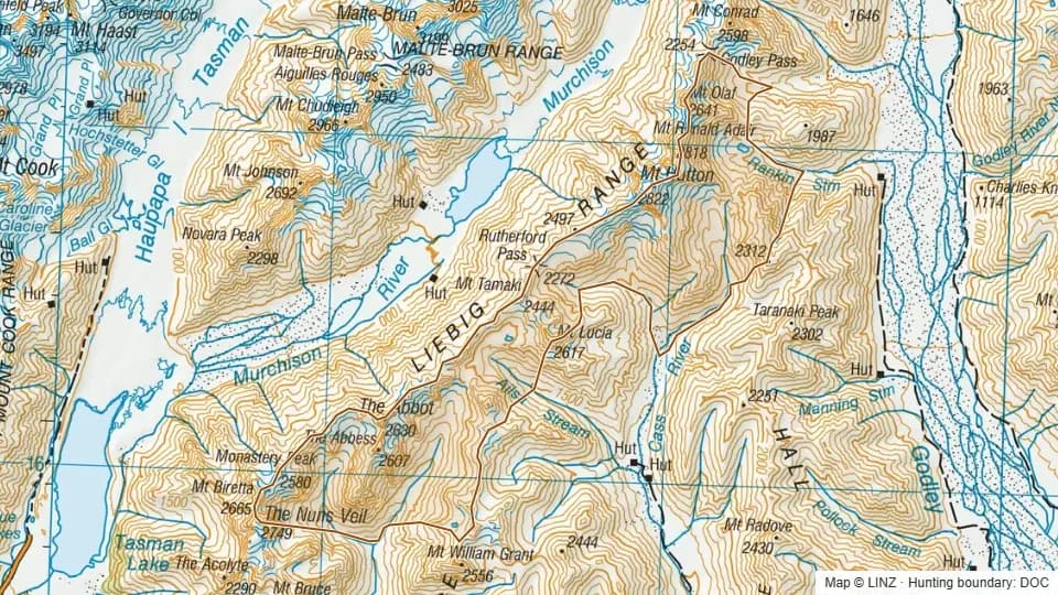 Jollie-Cass5,799 ha
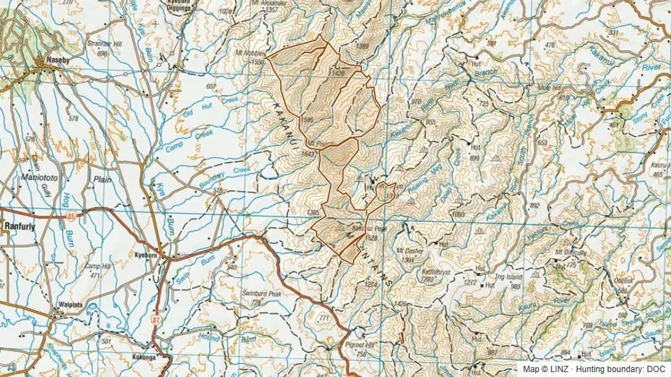 Kakanui Conservation5,982 ha
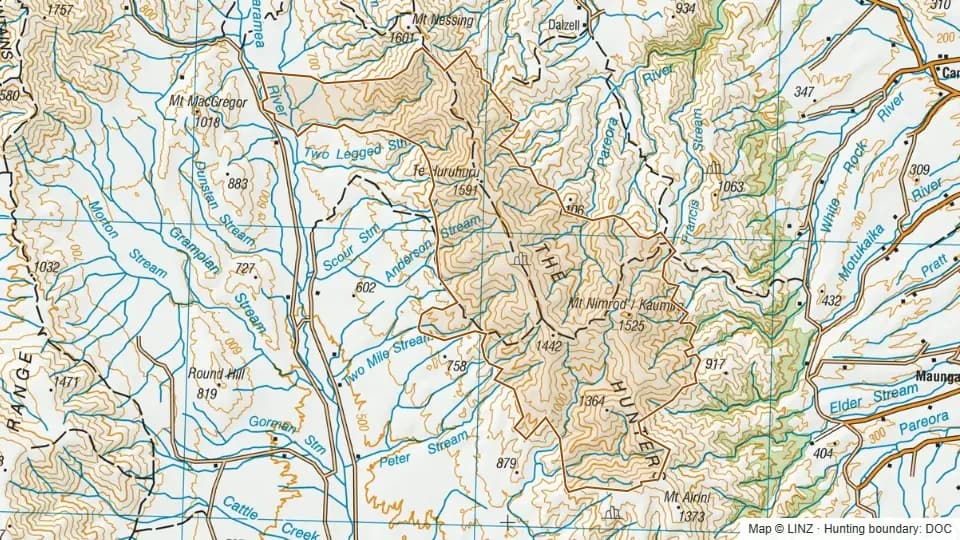 Kaumira/ Mount Nimrod8,456 ha
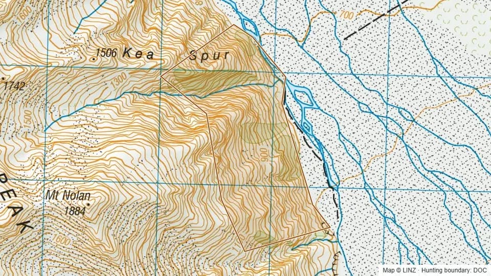 Kea Spur139 ha
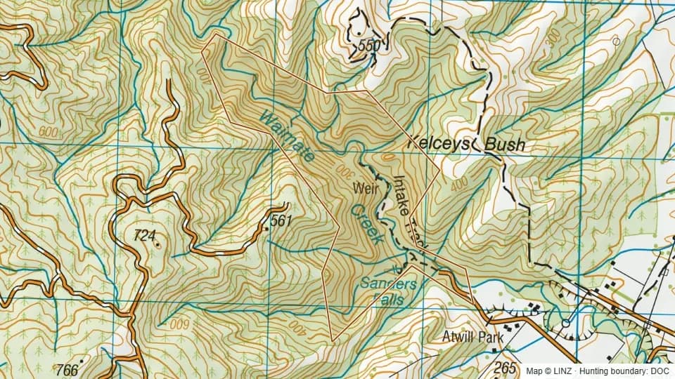 Kelceys Bush122 ha
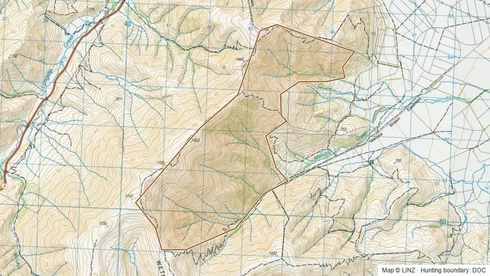 Killermont - Firearms prohibited on access tracks1,111 ha
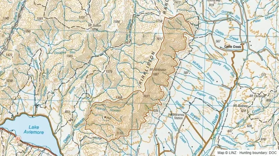 Kirkliston7,496 ha
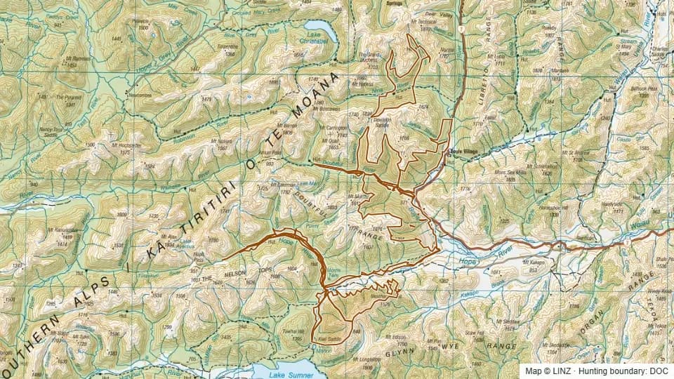 Lake Sumner Forest Park8,519 ha
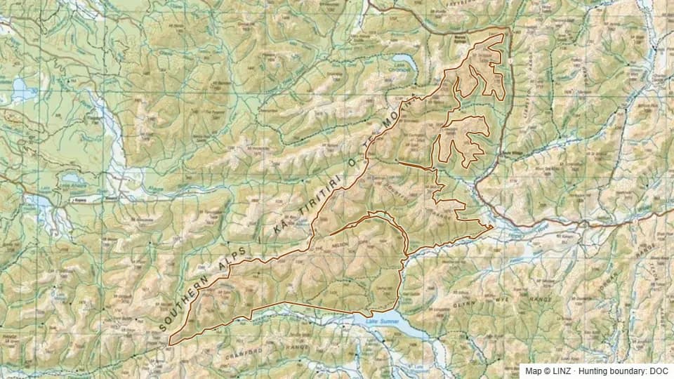 Lake Sumner RHA44,993 ha
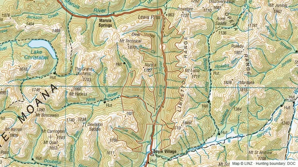 Lewis Pass National Reserve5,560 ha
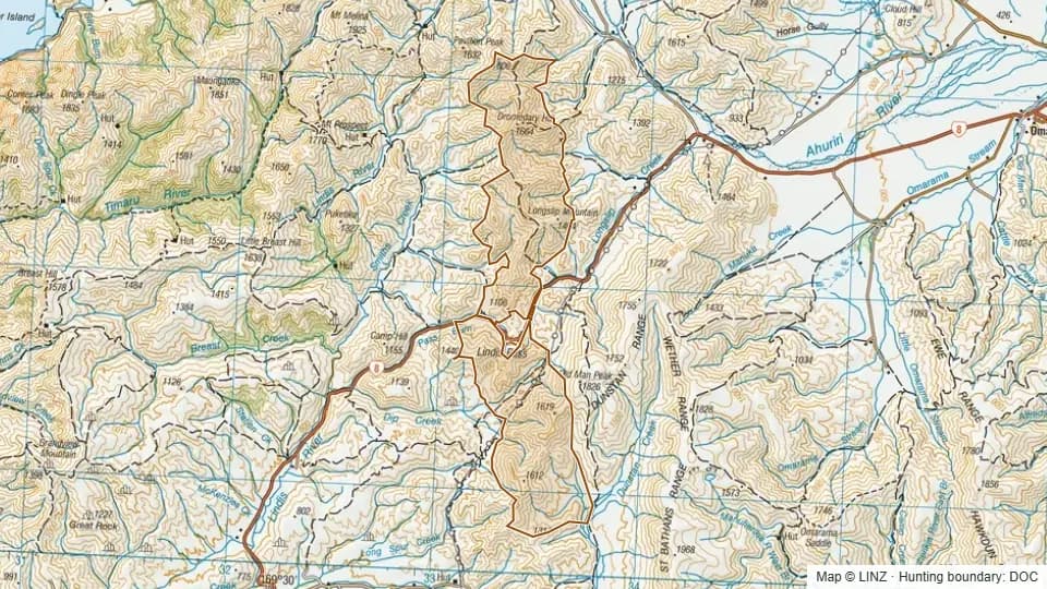 Lindis - Firearms prohibited on access tracks4,060 ha
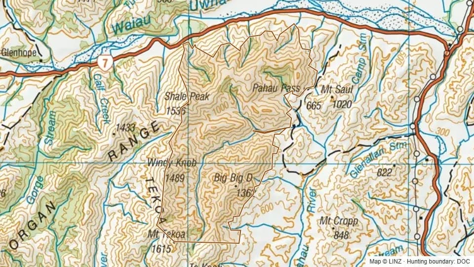 Lochiel4,252 ha
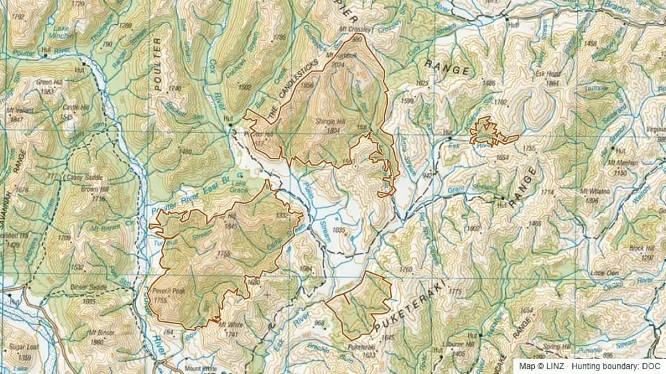 Lochinvar13,108 ha
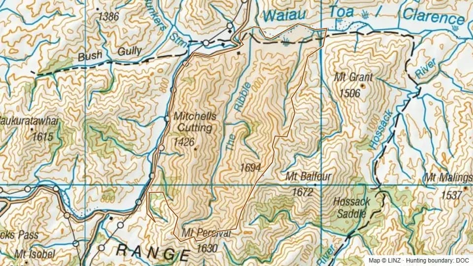 Long Gully3,844 ha
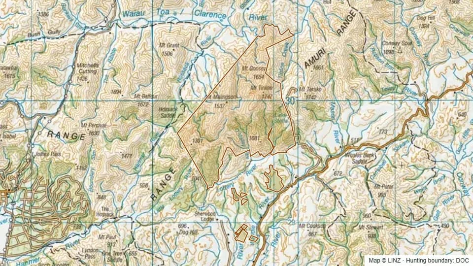 Lyford6,497 ha
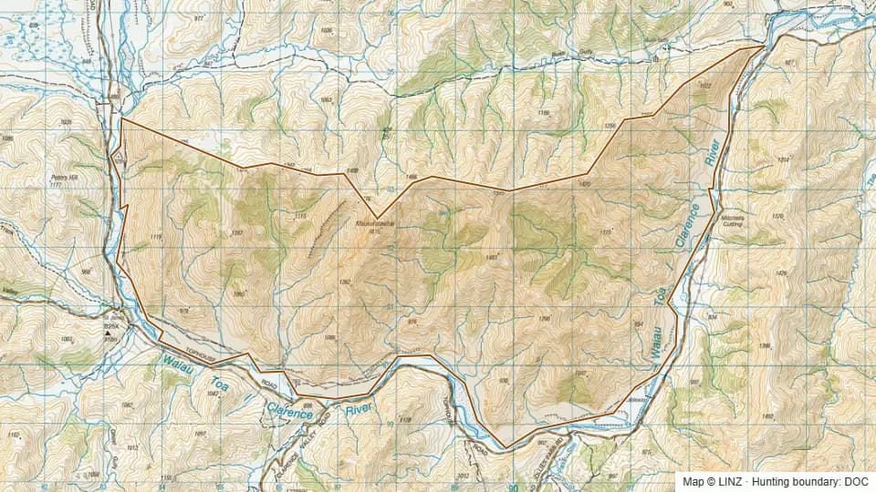 Makuratawhai3,764 ha
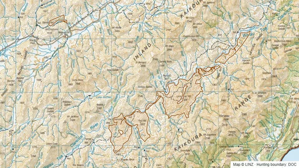 Molesworth Station and Clarence grazing lease8,453 ha
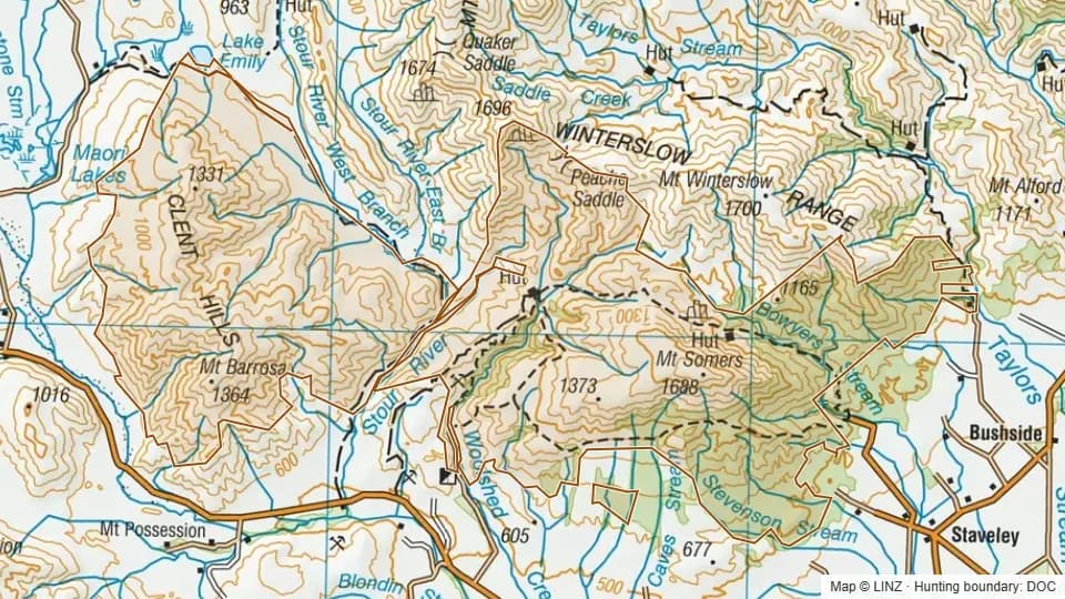 Mount Barrosa/ Mount Somers11,071 ha
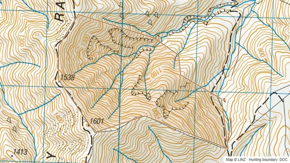 Mount Dalgety Conservation Area232 ha
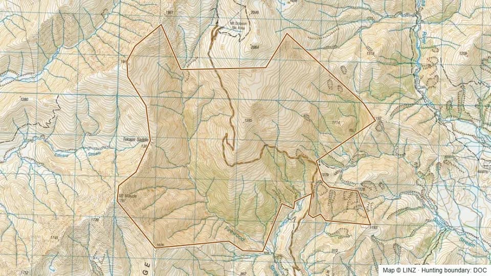 Mount Dobson2,293 ha
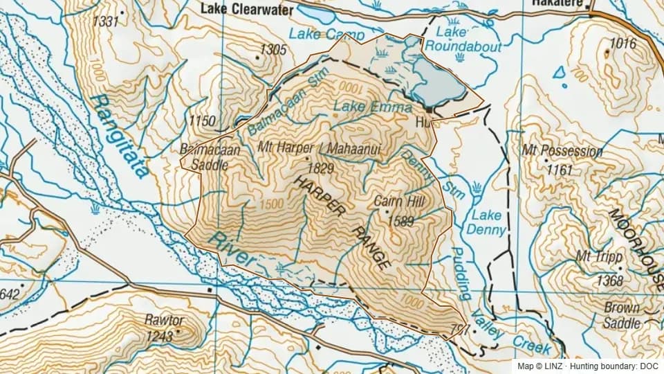 Mount Harper/ Mahaanui6,089 ha
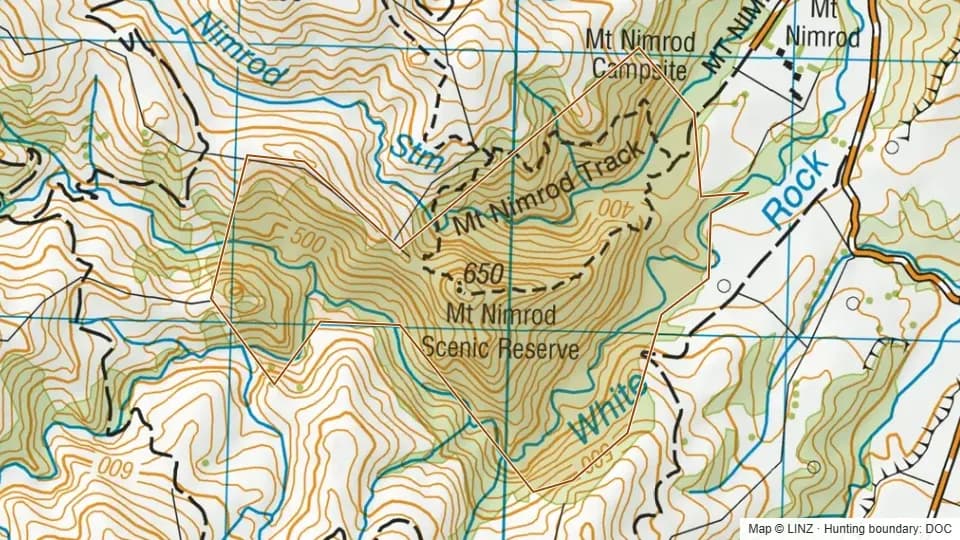 Mount Nimrod Reserve149 ha
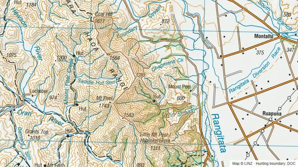 Mount Peel/ Waikari Hills3,264 ha
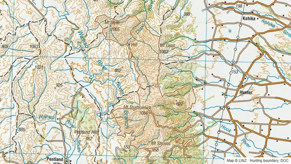 Mount Studholme/ Kaiwarua6,222 ha
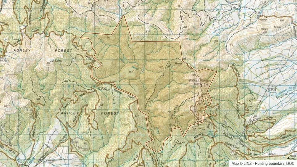 Mt Grey/Maukatere1,288 ha
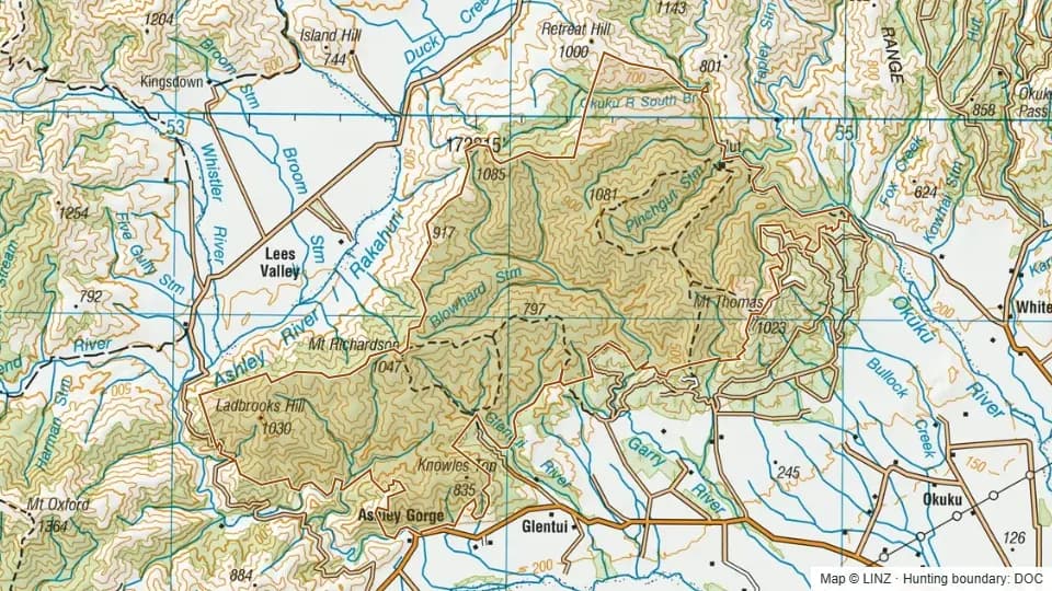 Mt Thomas Forest10,590 ha
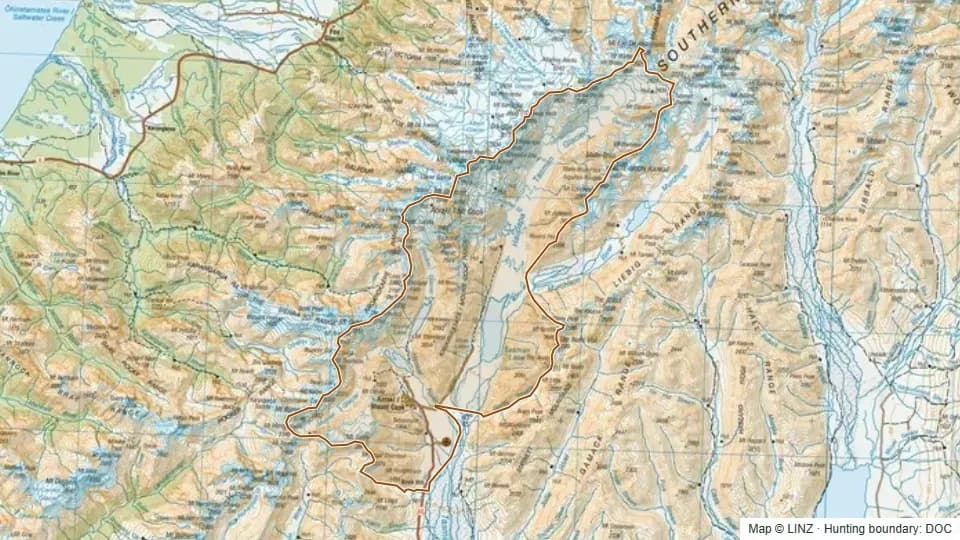 Murchison - Aoraki/Mt Cook39,484 ha
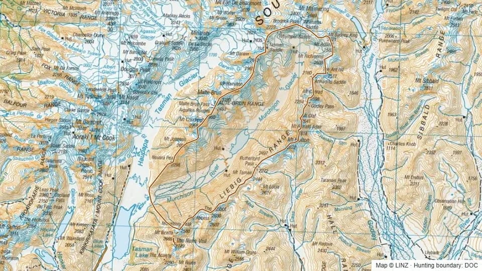 Murchison & Aoraki/Mt Cook15,300 ha
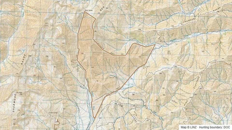 North Opuha1,805 ha
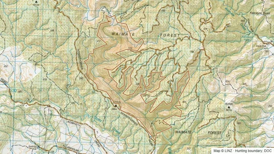 North Waihao598 ha
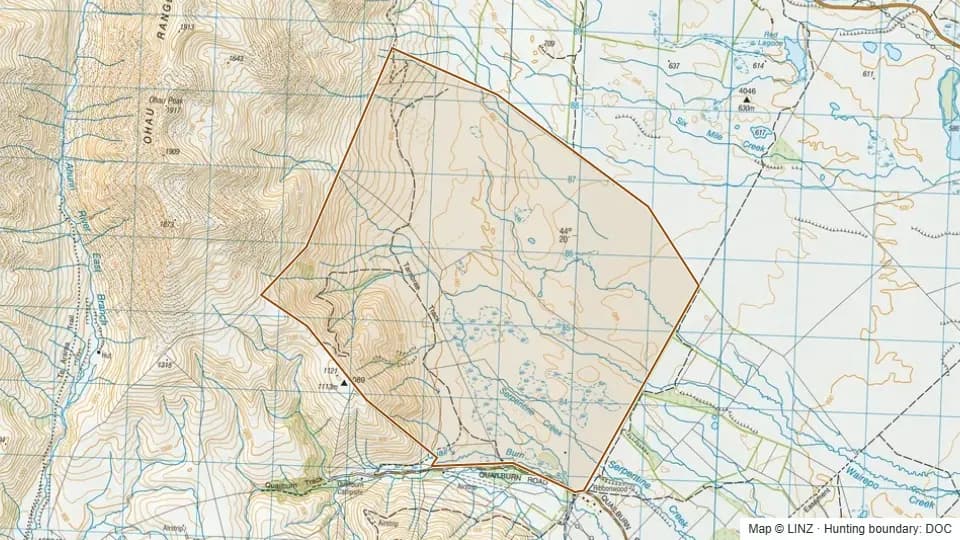 Ohau Moraines2,118 ha
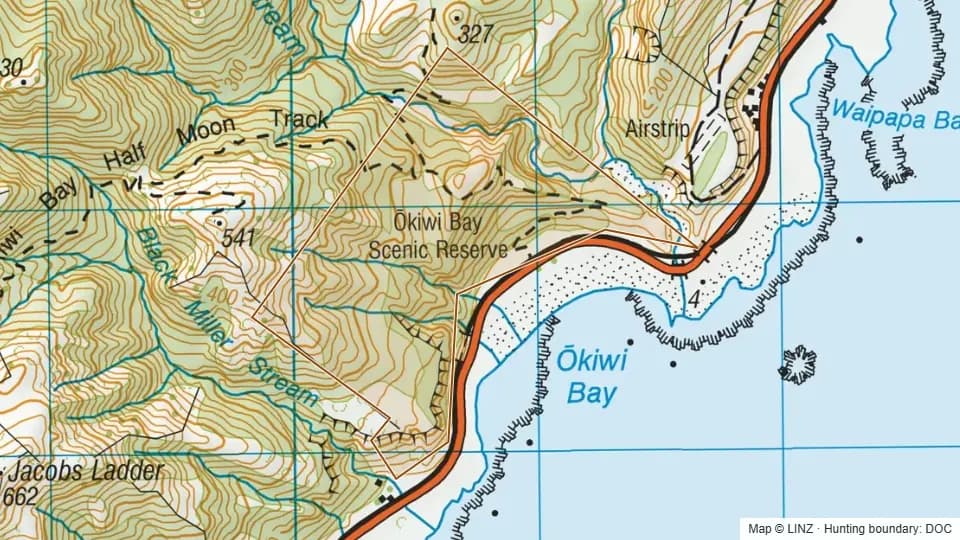 Okiwi Bay Scenic Reserve121 ha
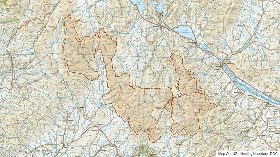 Oteake79,339 ha
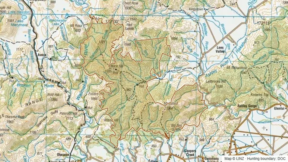 Oxford Forest13,261 ha
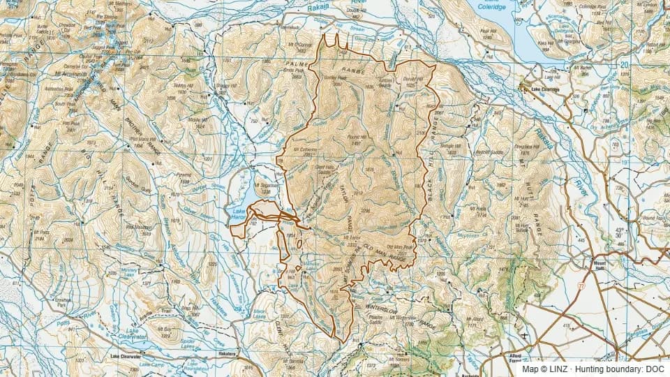 Palmer Range/ Taylor Range33,047 ha
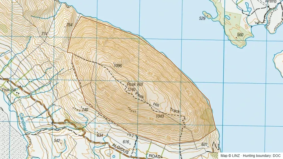 Peak Hill628 ha
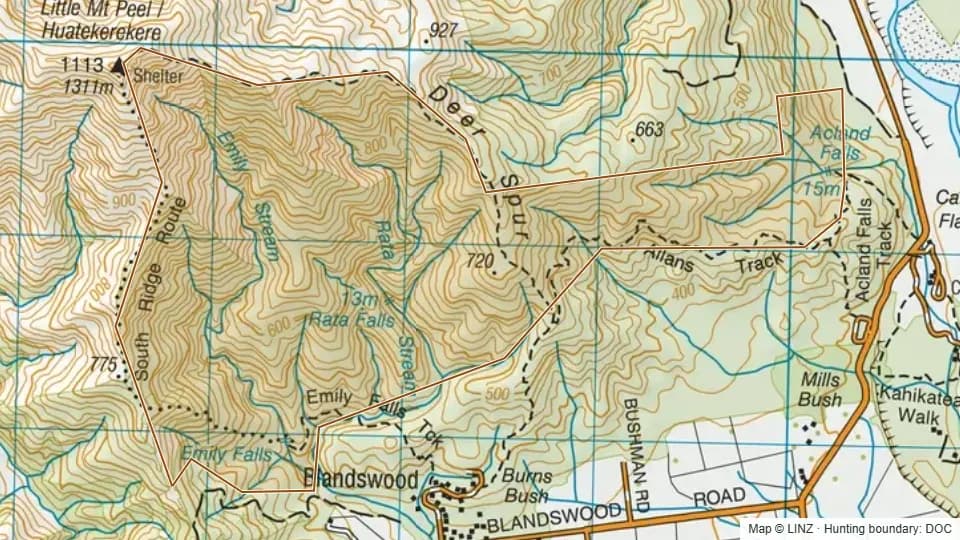 Peel Forest Scenic Reserve438 ha
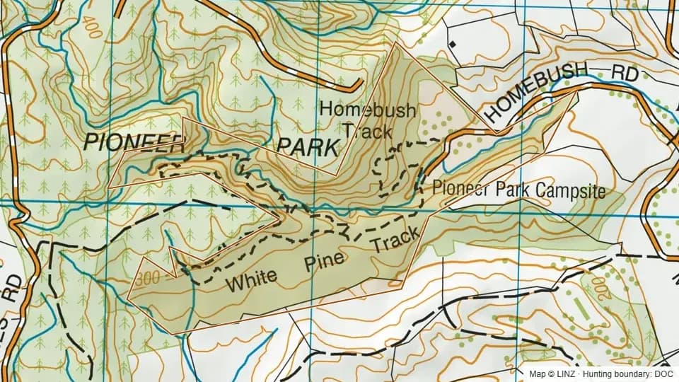 Pioneer Park126 ha
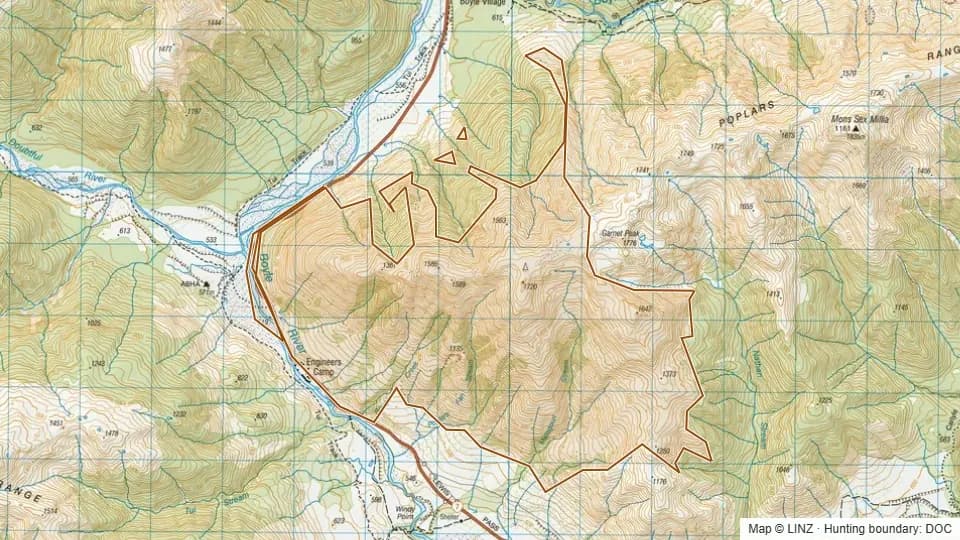 Poplars Range1,772 ha
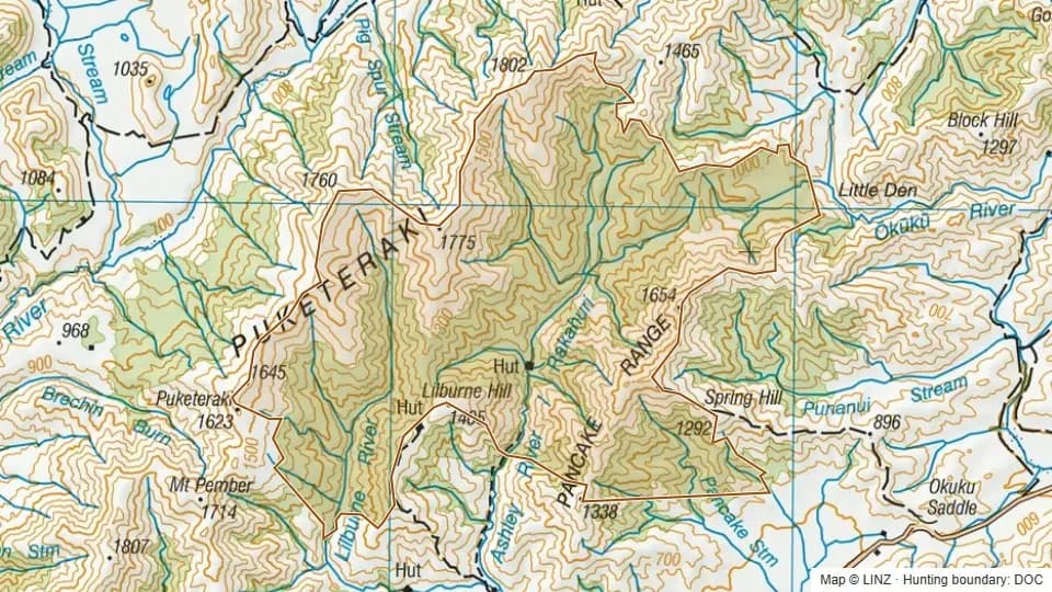 Puketeraki9,120 ha
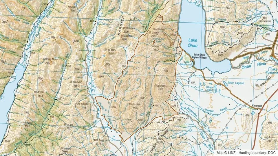 Quailburn18,871 ha
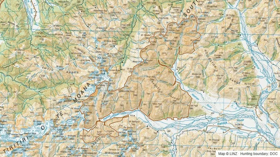 Rakaia/ Mathias33,059 ha
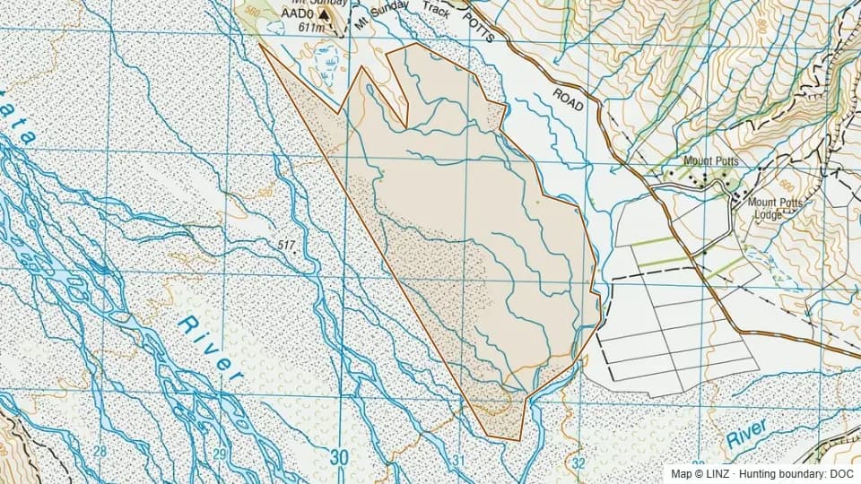 Rangitata River - Mt Sunday surrounding431 ha
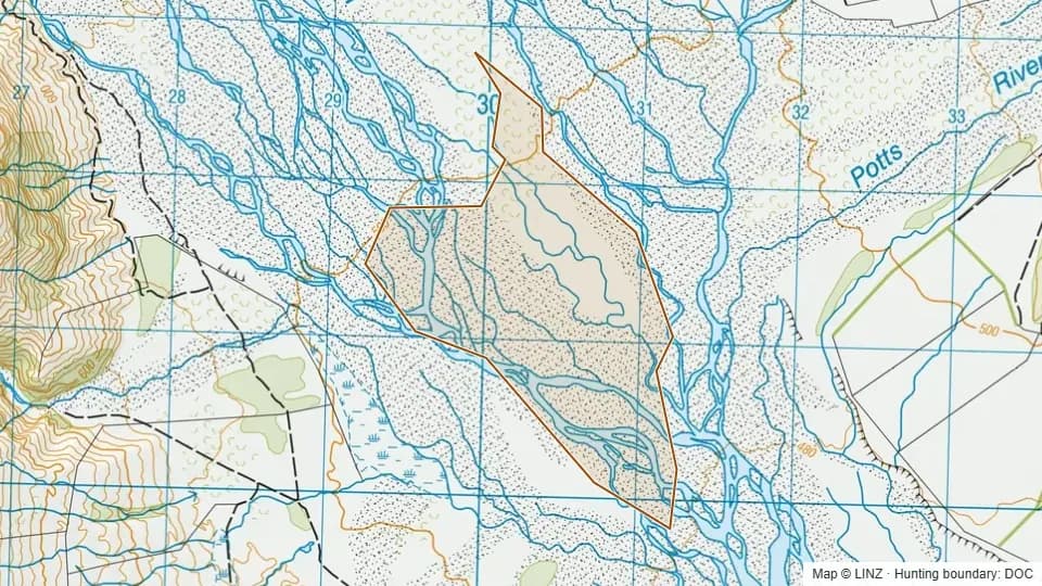 Rangitata/Potts confluence258 ha
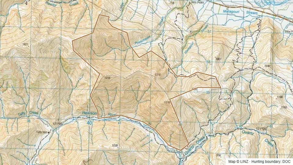 Rata Peaks854 ha
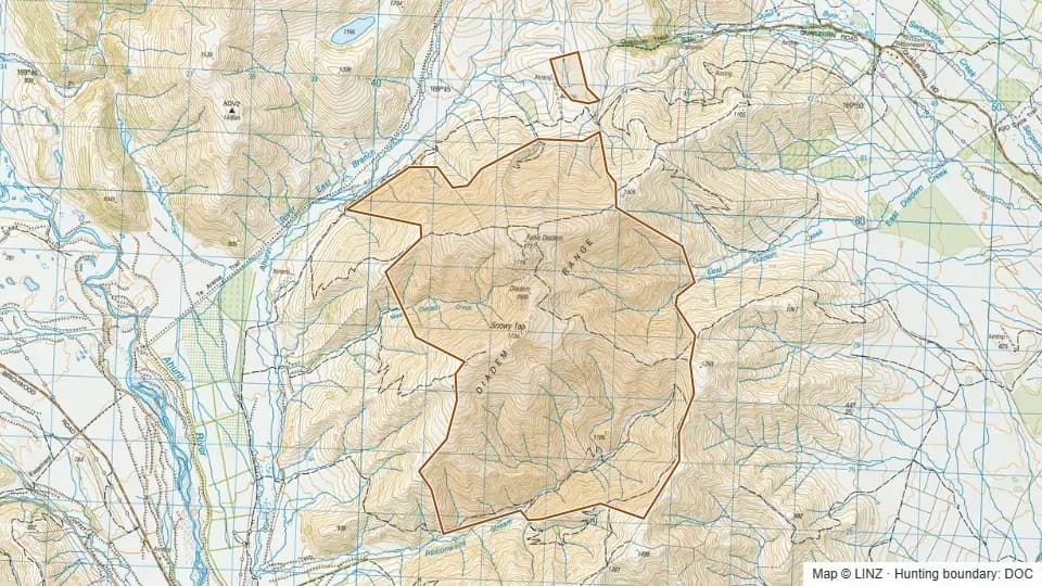 Ribbonwood Conservation Area2,454 ha
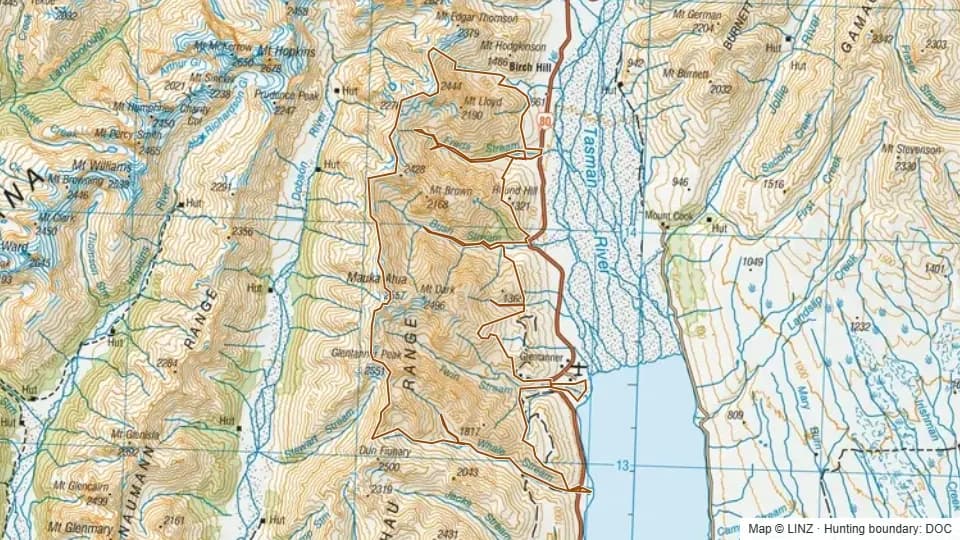 Ruataniwha9,185 ha
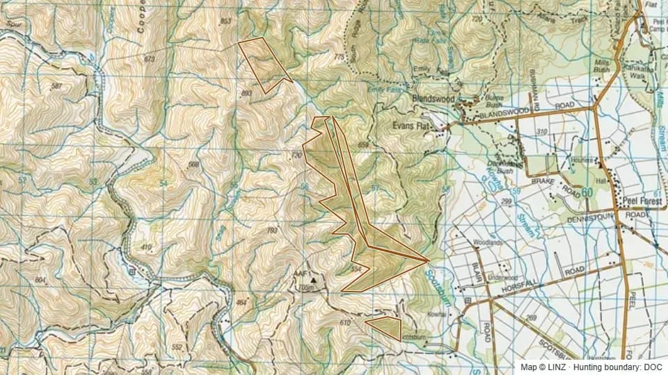 Scotsburn169 ha
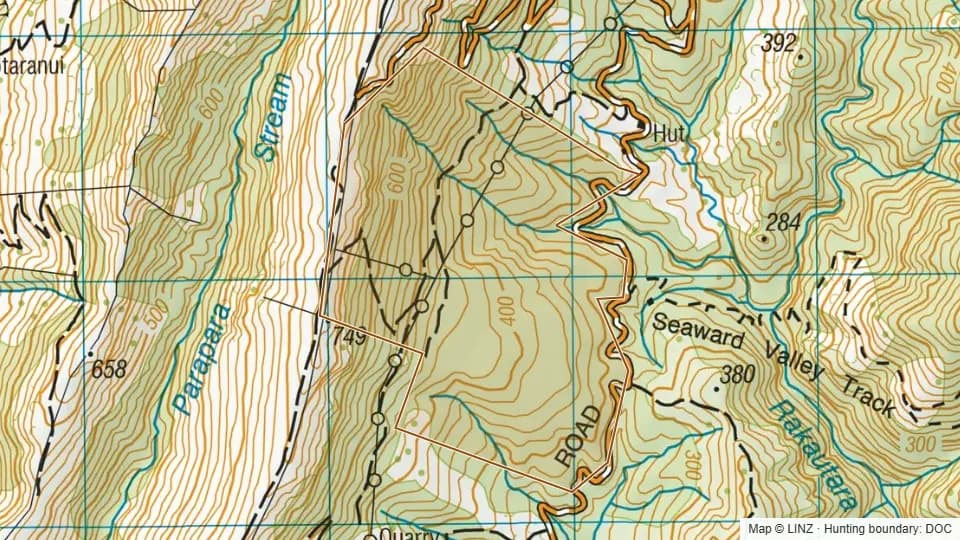
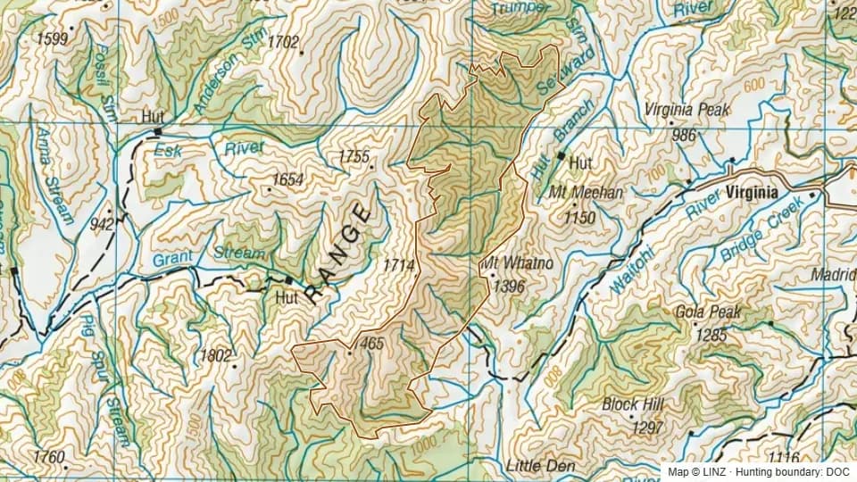 Seaward2,765 ha
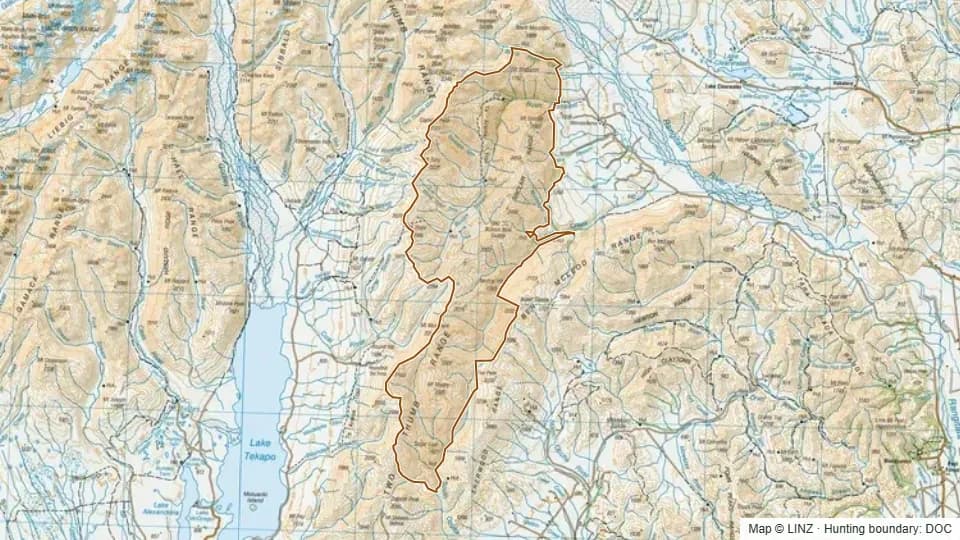 Sinclair Range29,318 ha
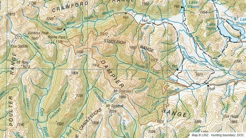 South Hurunui7,655 ha
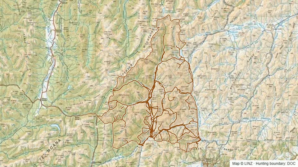 St James79,273 ha
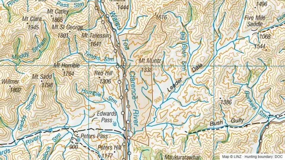 Super Shed1,965 ha
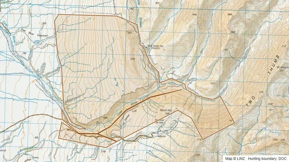 Tekapo Ski Area2,356 ha
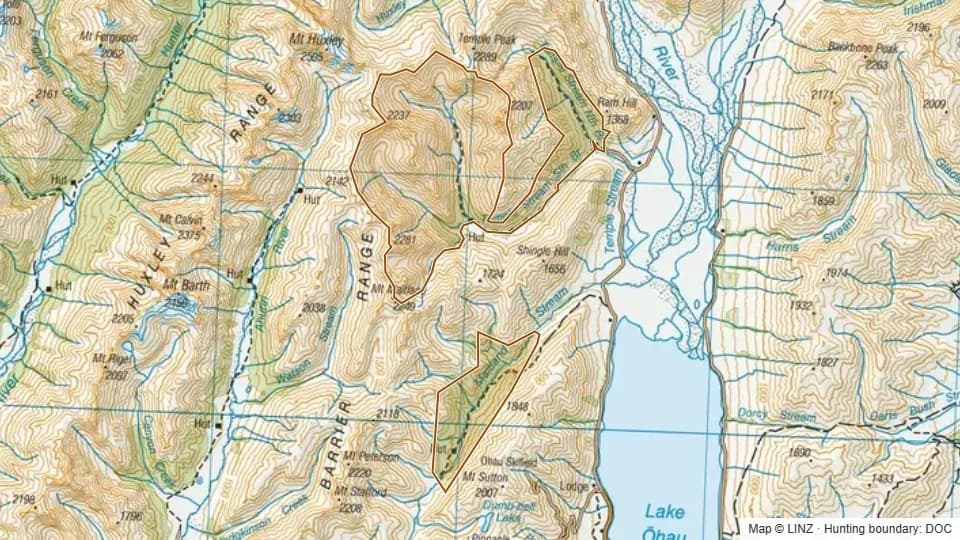 Temple - Maitland6,360 ha
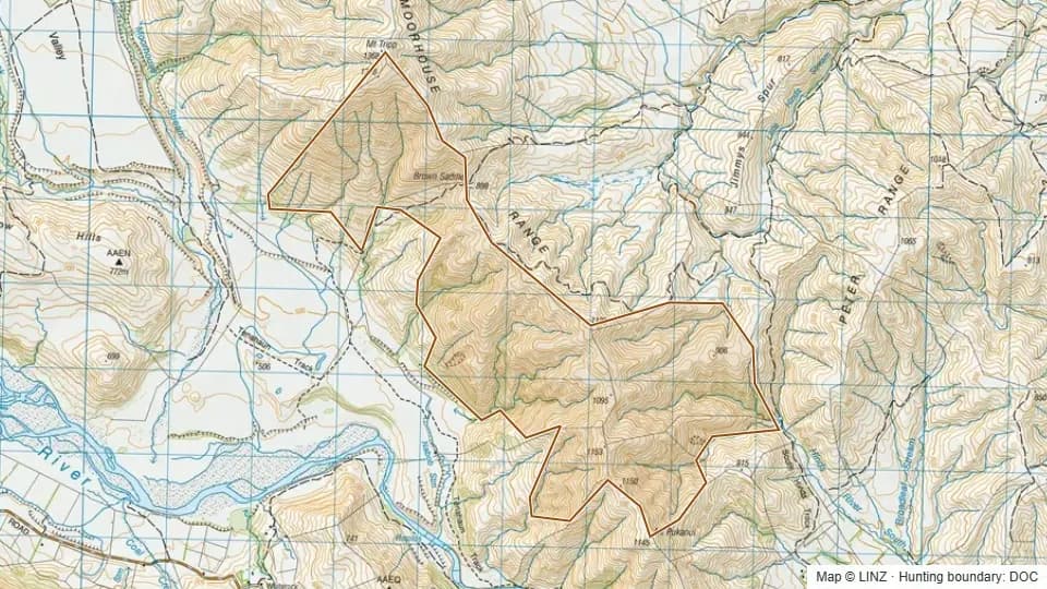 Tenehaun1,104 ha
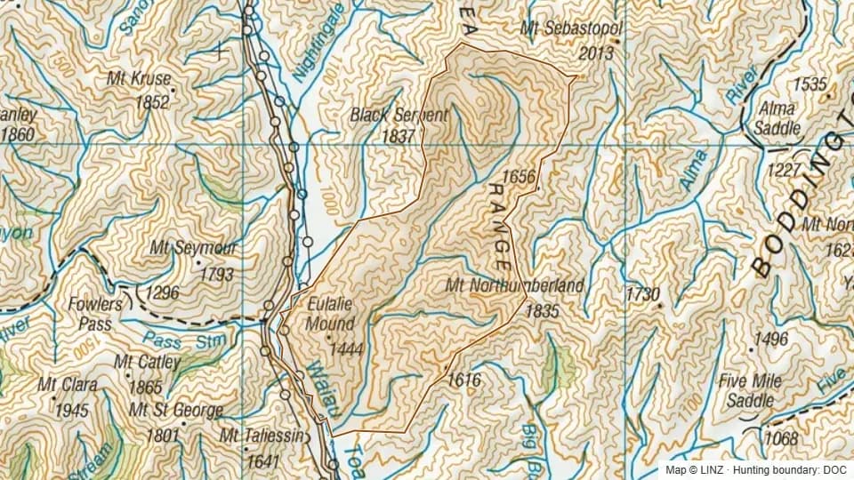 Timms3,905 ha
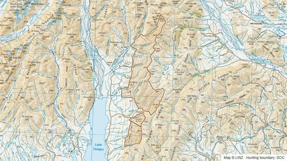 Two Thumb Range14,352 ha
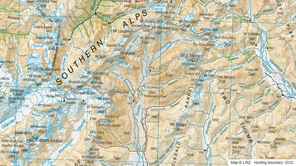 Upper Godley17,595 ha
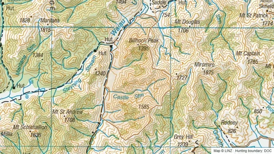 Waiau Faces3,528 ha
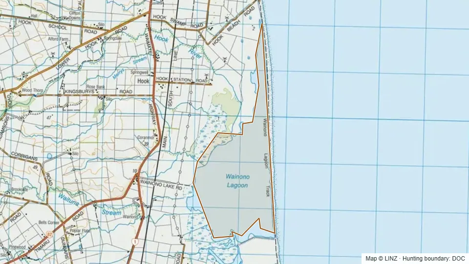 Wainono Lagoon387 ha
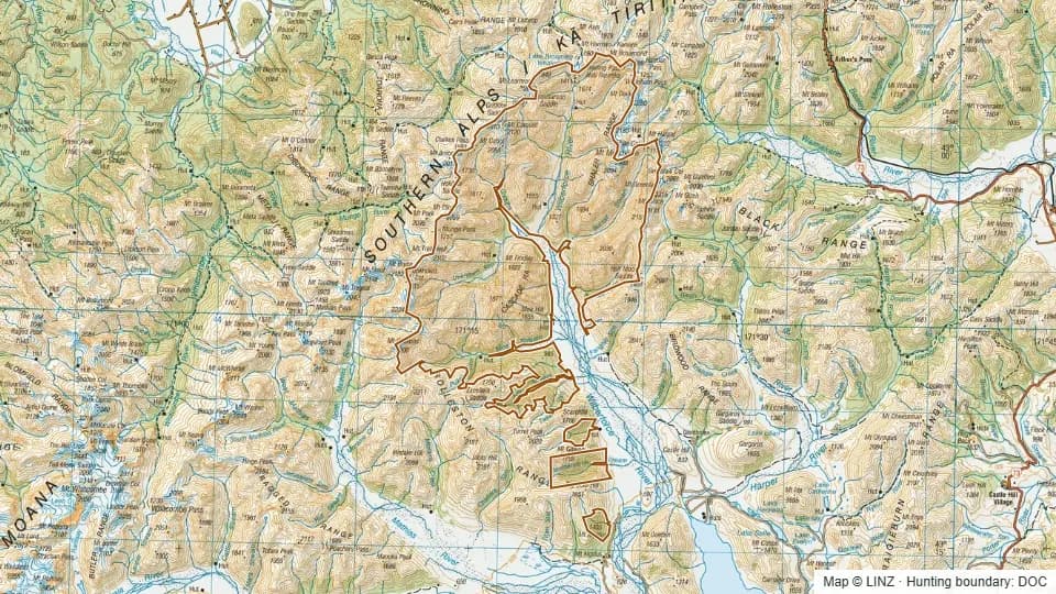 Wilberforce27,146 ha
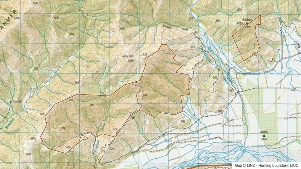 Woodbank824 ha