Hunting in Otago
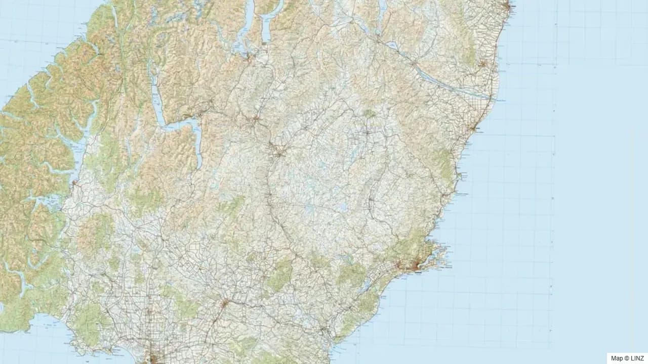
Overview
Otago is one of New Zealand's best all-round hunting regions. The country runs from the Catlins coast on the south, up through the schist tussock-and-tor landscape of Central Otago, into the high country around Lake Wānaka, Lake Hāwea, and the Matukituki, and finally into the eastern wall of the Southern Alps where Otago butts up against Fiordland and South Westland. The Blue Mountains in West Otago hold one of the strongest fallow deer populations in the country, and red deer are abundant through almost every catchment.
For Dunedin and Queenstown-based hunters, Otago is the home patch — the variety of country means a single weekend can cover bush, tussock, and alpine top. For visiting hunters, the region offers the gentlest learning curve into South Island hunting, with shorter walk-ins and drier weather than further west or south.
What You Can Hunt
- Red deer — abundant through Central, West, and North Otago, with the strongest densities in the back-country catchments around Wānaka and Hāwea.
- Fallow deer — Blue Mountains (West Otago) is the headline fallow herd. Pockets elsewhere through the foothills.
- Chamois — present through the western and northern headwaters; densities increase as you move toward the main divide.
- Bennett's wallaby — small but expanding populations on the South Canterbury / North Otago boundary.
- Wild goat — present through slip country, bush margins, and broken farmland.
- Wild pig — strong in the Catlins and the southern hill country; lower density elsewhere.
Where to Hunt
- Blue Mountains — West Otago, near Tapanui. Long-established fallow herd, plus red deer and pig.
- Catlins Forest Park — south-eastern Otago. Beech-podocarp bush, red deer and pig; one of the rainier corners of the region.
- Hāwea / Wānaka high country — Matukituki, Makarora, Hunter, and Dingle catchments. Red deer and chamois; high country with excellent access to the bush edge.
- Pisa, Dunstan, and Hawkdun ranges — Central Otago tussock tops. Red deer and chamois at the higher altitudes; demanding country.
- Old Man / Old Woman Ranges and Garvie Mountains — far inland, schist tops; red deer at low density and seasonal goats.
- North Otago hill country (Hunters Hills boundary) — Bennett's wallaby leakage from Canterbury; pig and goat in scrub country.
Getting In
- Road — State Highways 6, 8, and 1 are the main spines, with sealed and gravel roads spurring into most catchments and stations. Forestry roads provide access into the Blue Mountains and Catlins.
- Foot — once at the road end, hunting in Otago is overwhelmingly foot access. Tracks and huts in the forest parks; informal routes elsewhere.
- Air — fixed-wing strips at several high-country stations (Makarora, Dingle, Branches). Helicopter access into the back country is common, particularly into chamois country.
- Water — limited; some boat access on Lake Hāwea, Wānaka, and Wakatipu, and jet-boat use on the Makarora and Wilkin rivers.
Seasons & Weather
Otago is the driest South Island region after inland Canterbury. The Central Otago basins can be genuinely arid in summer and bitterly cold in winter; the high country gets reliable snow.
| Period | What's happening | Notes |
|---|---|---|
| Mar–Apr | Red roar | Reliable through Wānaka, Hāwea, Makarora, and the eastern headwaters. |
| Mar–Apr | Fallow rut | Blue Mountains, classic early-April peak. |
| May–Jul | Chamois rut | Western and northern headwaters. |
| Jun–Aug | Winter | Heavy snow on the tops; valley floors workable in clear weather. Frosts to –10°C inland. |
| Sep–Nov | Spring | Velvet stags emerging; chamois on south faces. |
| Dec–Feb | Summer | Hot and dry in the basins; tops accessible. |
The nor'wester is a significant weather feature, particularly in the upper Clutha and the Hāwea / Wānaka basins, with rapid temperature changes following the front.
Gear & Conditions
Otago hunting straddles two styles: glassing-led tussock and alpine work in the back country, and short bush stalks in the Blue Mountains and Catlins. A flat-shooting medium-calibre rifle (6.5mm–.30 cal) covers everything. Quality optics earn their keep — many shots on tussock-country deer and chamois are 250 metres or more. For the Blue Mountains fallow rut, the country tightens up and shorter, faster-handling setups work better. Frosts are heavy in Central Otago — overnight gear should be specced for sub-zero conditions through autumn and winter.
Permits & Regulations
A free DOC permit covers public conservation land throughout the region. Helicopter access is permitted but subject to current DOC concessions and operational rules. Bennett's wallaby is classed as a pest under the Otago Regional Pest Management Plan; live movement is illegal. Many high-country stations carry public-access easements via the Walking Access Commission — check the map before crossing leasehold country. Some forestry blocks operate paid-permit access systems through the relevant forestry company, separate from DOC arrangements.
Open the Map
Open Otago in the full hunting map →
Forest parks, hunting blocks, walking-access areas, tracks, huts, and current pesticide operations across the Otago high country.
Useful Links
Game animals in Otago
Hunting areas in Otago
151 DOC hunting blocks — species, huts, access and an interactive map for each.
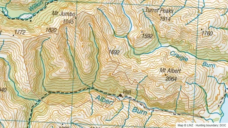 Albert Burn5,332 ha
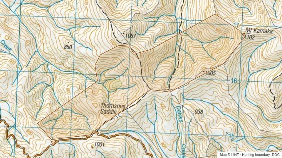 Argour303 ha
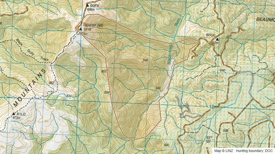 Armstrong - Blue Mountains592 ha
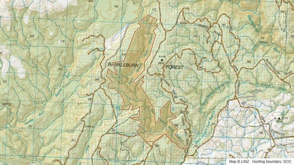 Back Stream - Blue Mountains451 ha
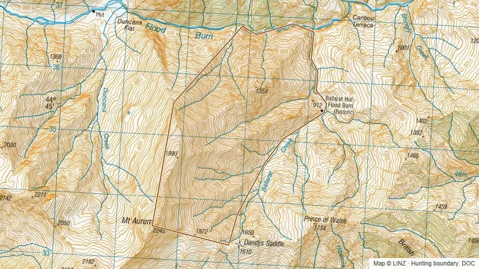 Ballarat584 ha
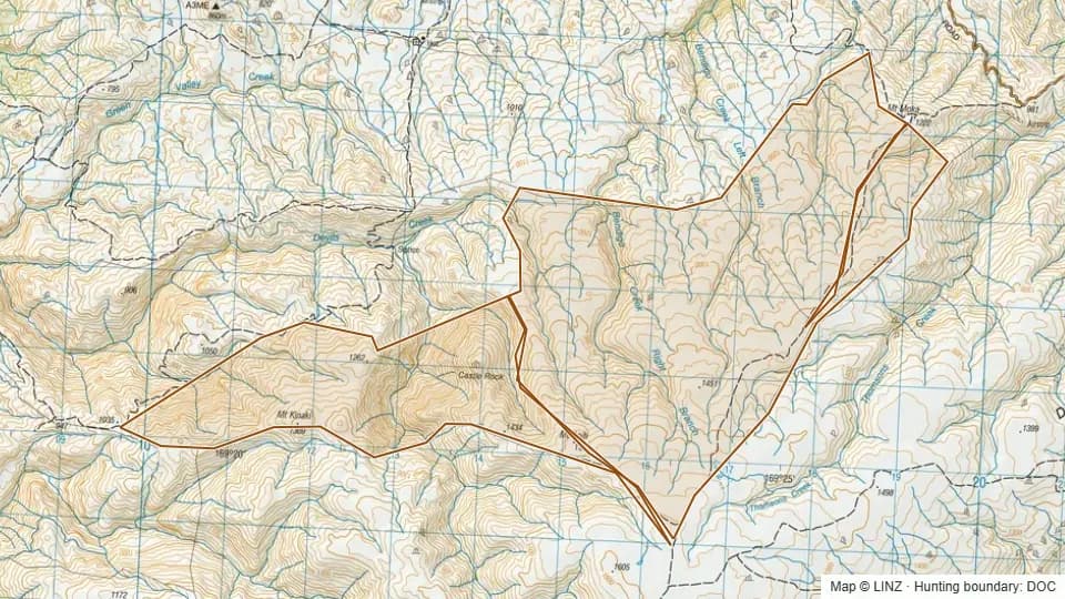 Bendigo Conservation Area1,974 ha
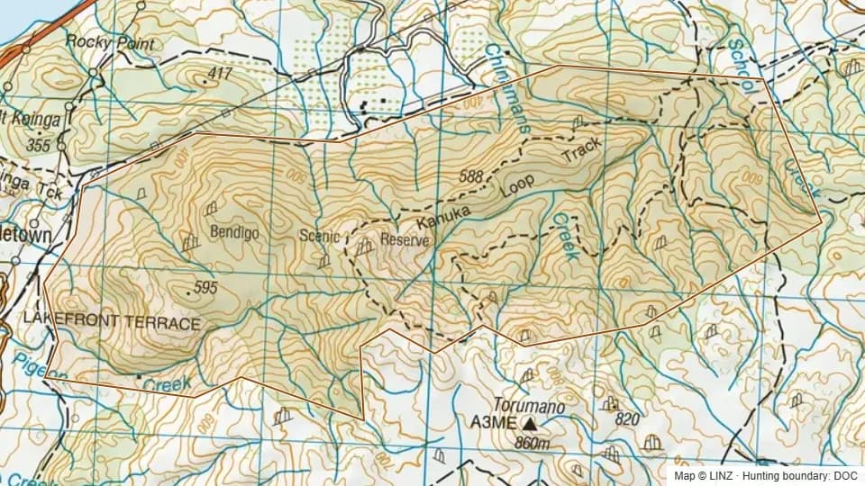 Bendigo Scenic Reserve628 ha
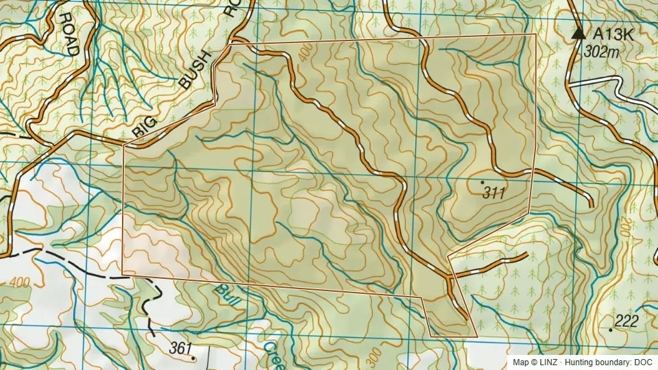 Big Bush353 ha
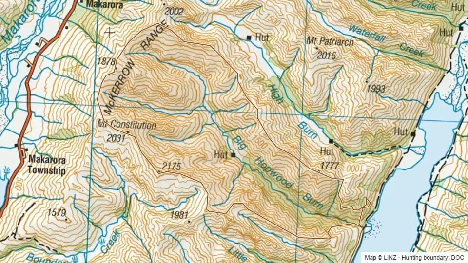 Big Hopwood5,820 ha
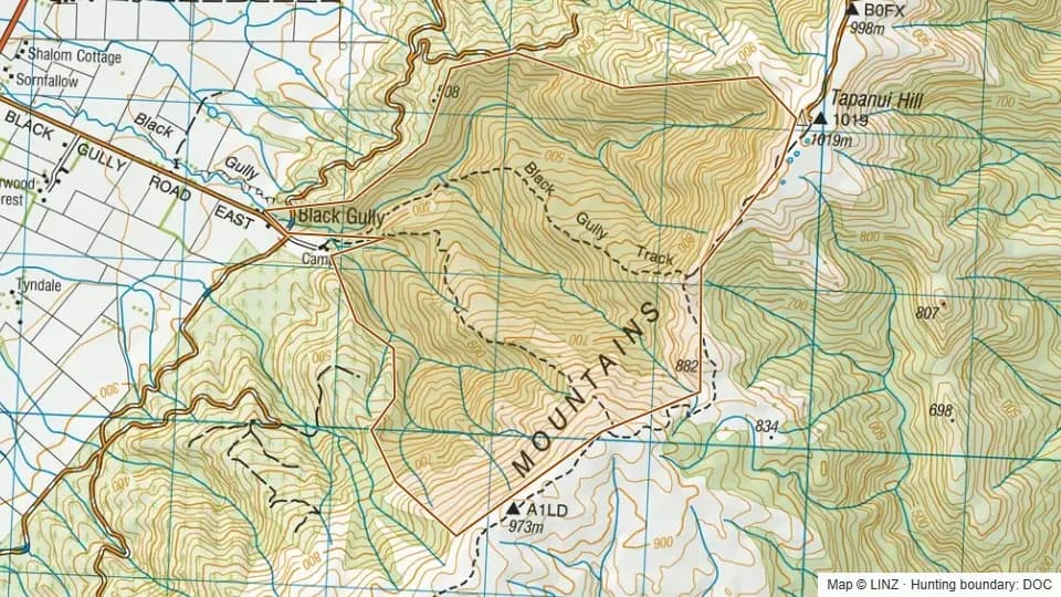 Black Gully - Blue Mountains558 ha
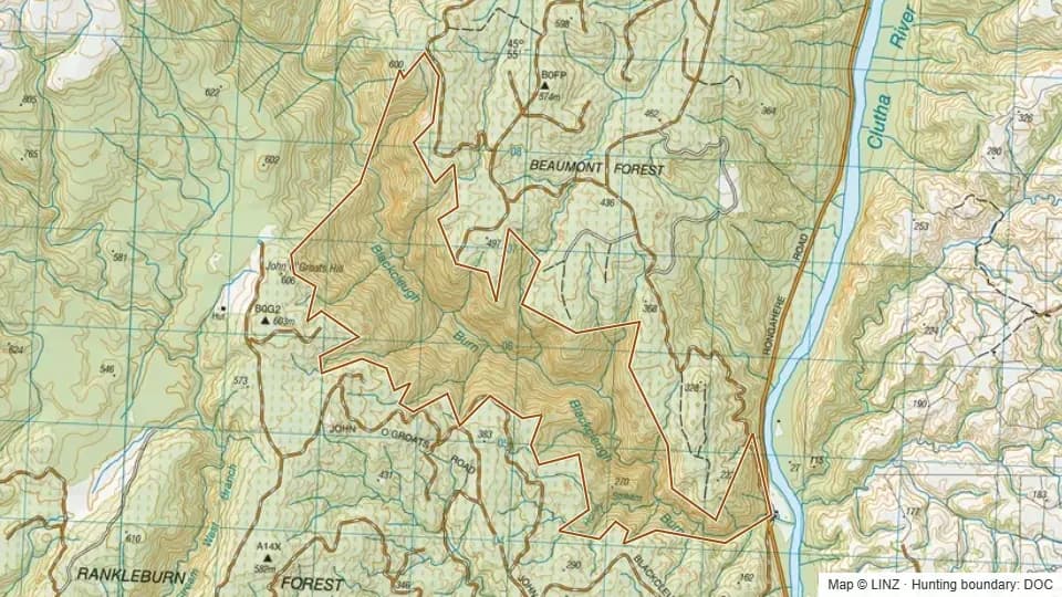 Blackcleugh - Blue Mountains744 ha
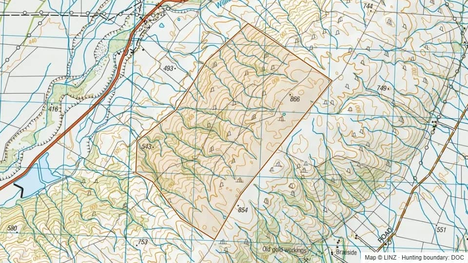 Blackstone Hill487 ha
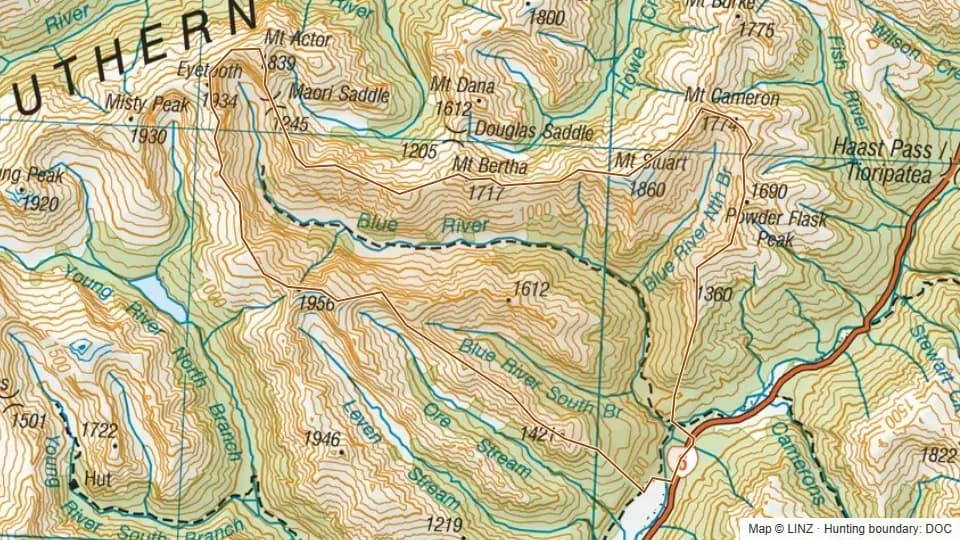 Blue5,955 ha
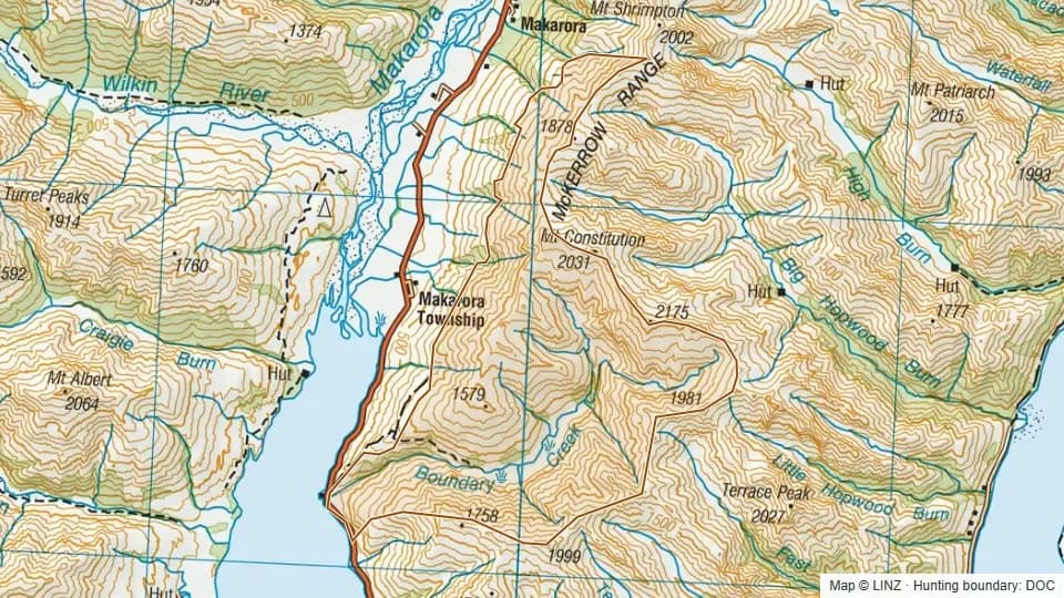 Boundary Creek5,790 ha
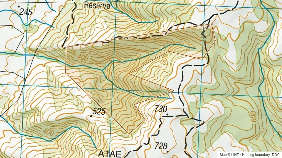 Brandy - Blue Mountains96 ha
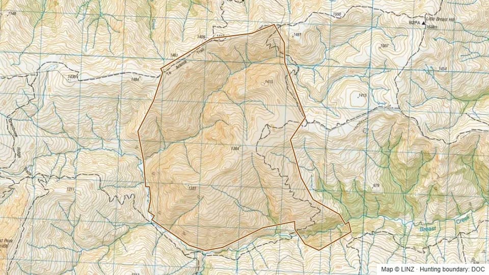 Breast Creek Block1,779 ha
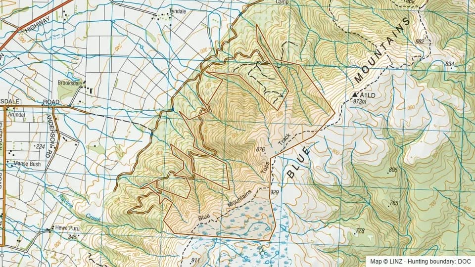 Brooksdale - Blue Mountains465 ha
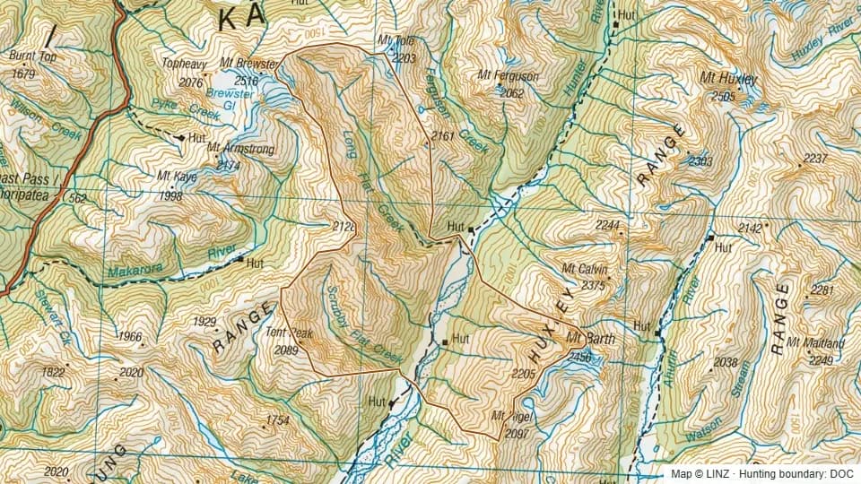 Bull Flat7,858 ha
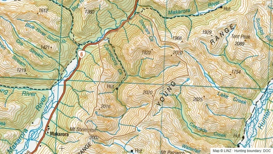 Cameron6,578 ha
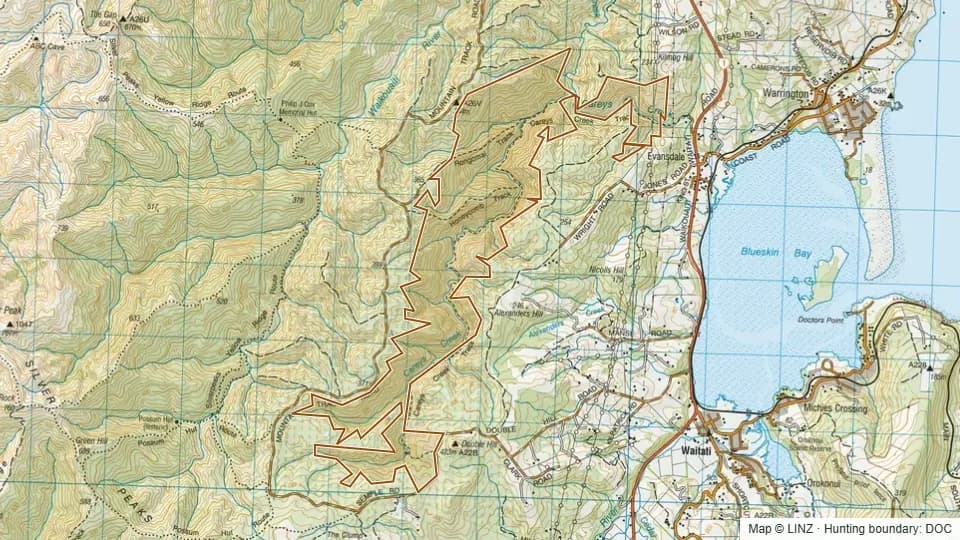 Careys Creek641 ha
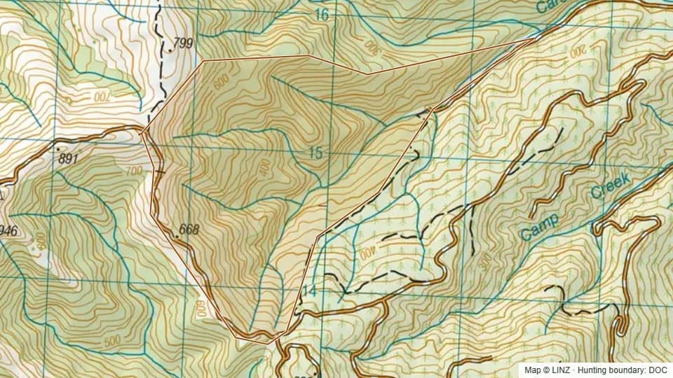 Carsons - Blue Mountains286 ha
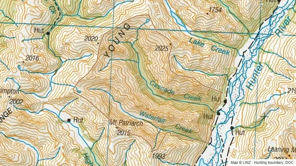 Cascade Creek5,059 ha
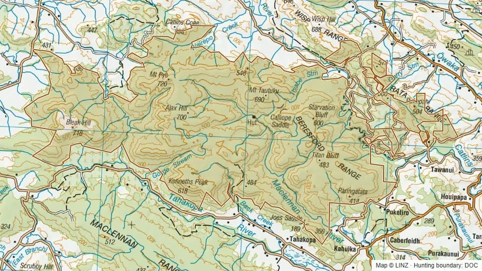 Catlins-MacLennan21,647 ha
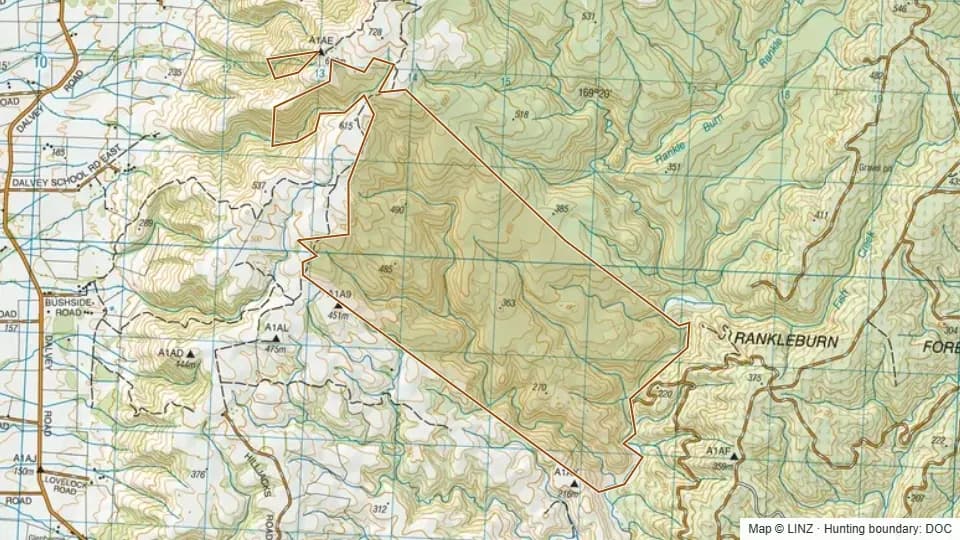 Cattle Flat - Blue Mountains893 ha
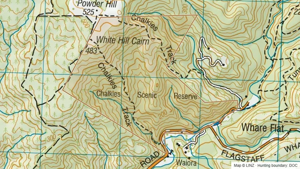 Chalkies205 ha
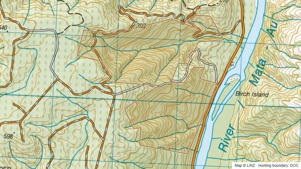 Chris's - Blue Mountains276 ha
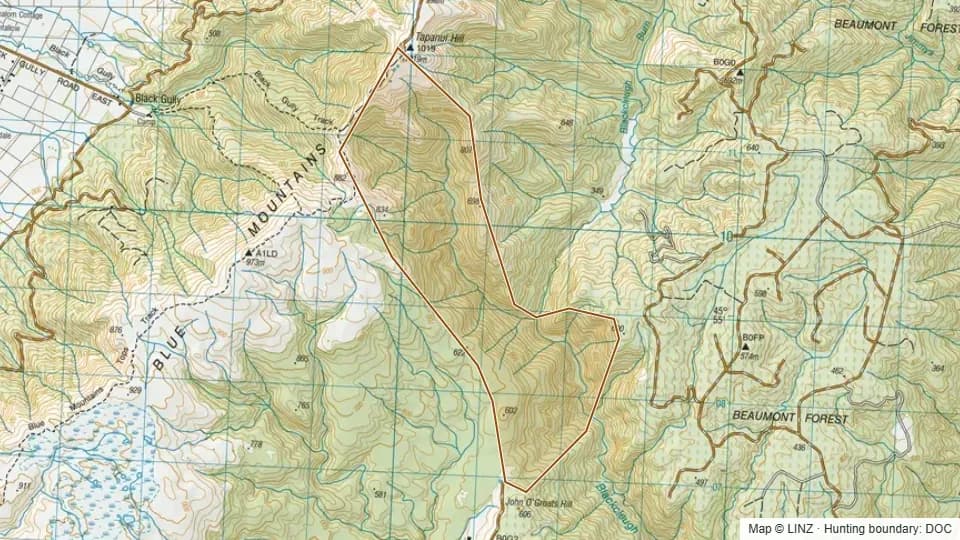 Clarks - Blue Mountains638 ha
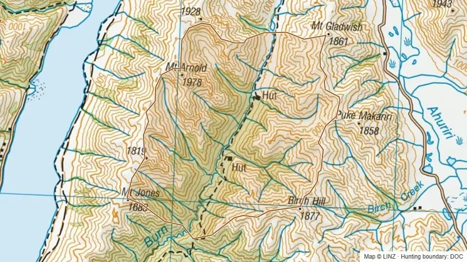 Cotters6,416 ha
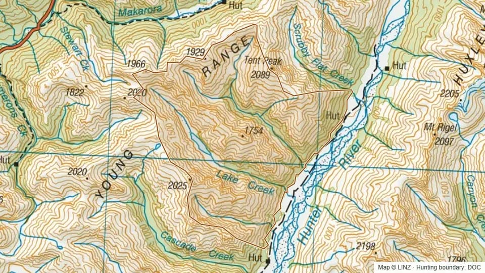 Cotters Creek5,704 ha
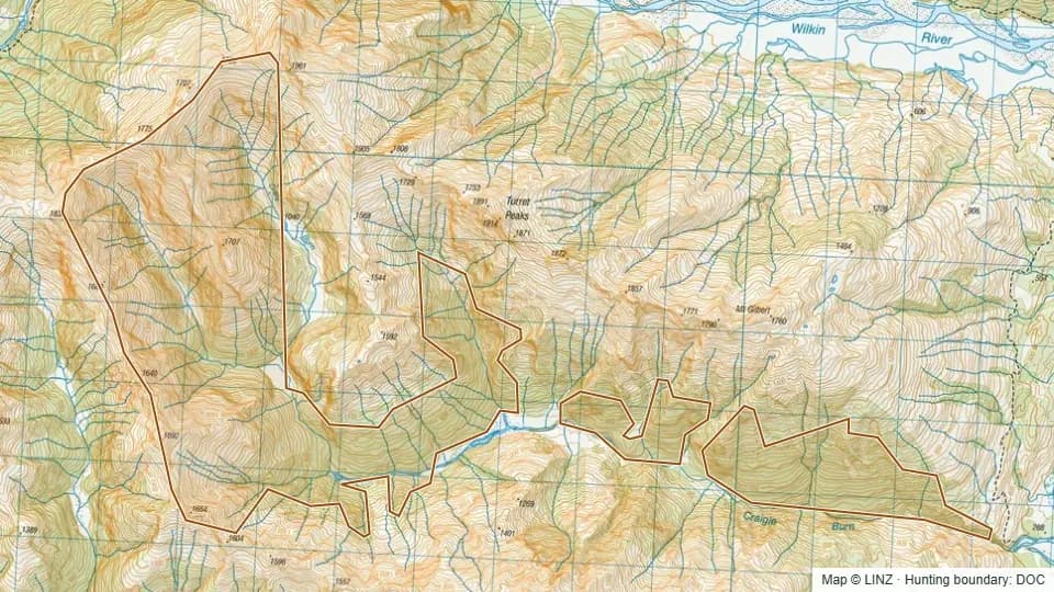 Craigie Burn1,856 ha
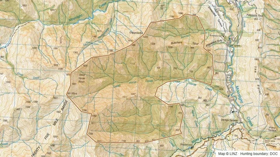 Dead Horse Creek1,899 ha
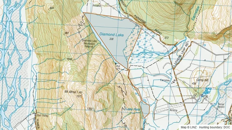 Diamond Lake and Lake Reid240 ha
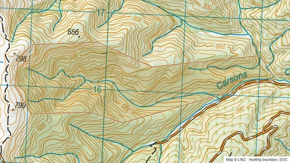 Dish - Blue Mountains233 ha
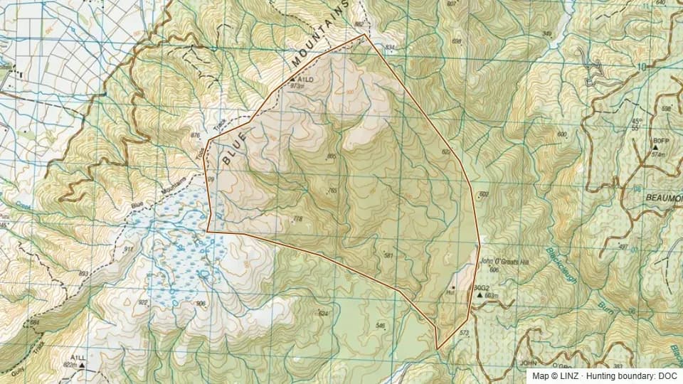 Dunn Creek - Blue Mountains1,270 ha
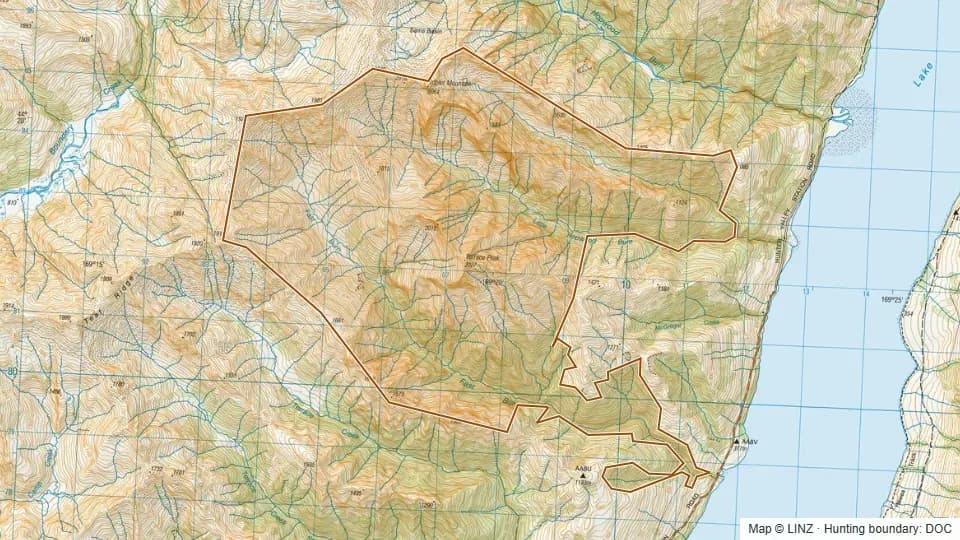 Fast Burn3,200 ha
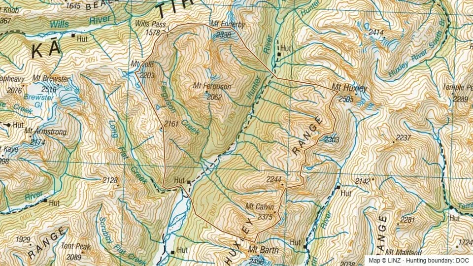 Ferguson9,958 ha
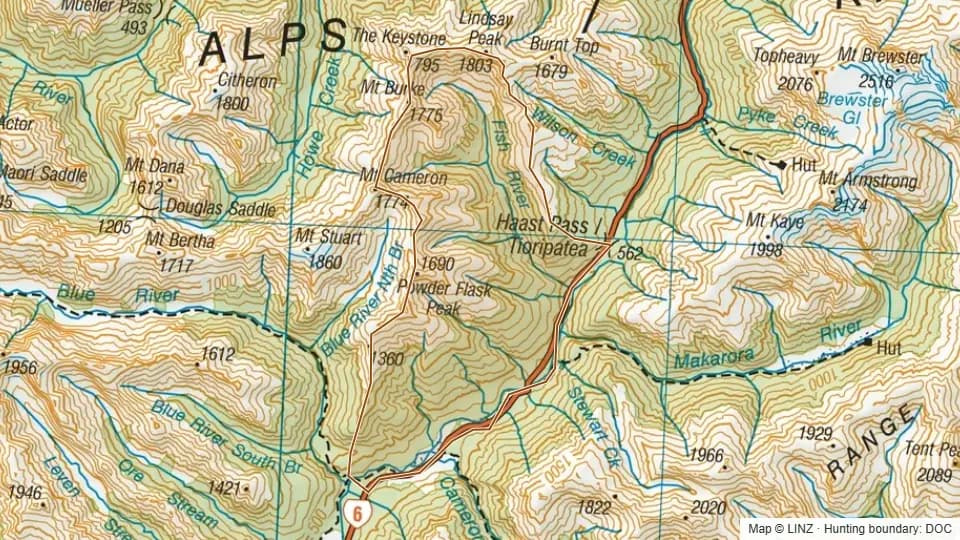 Fish4,151 ha
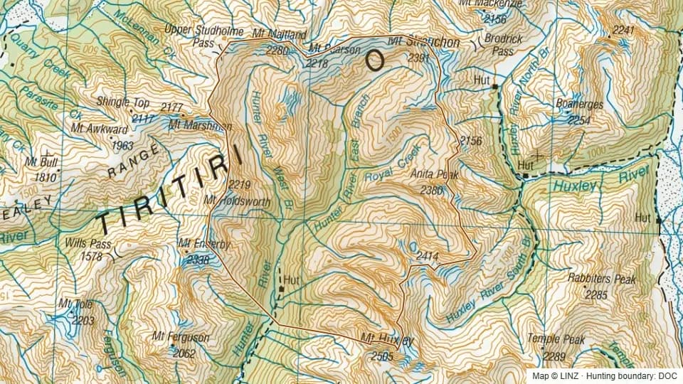 Forbes10,387 ha
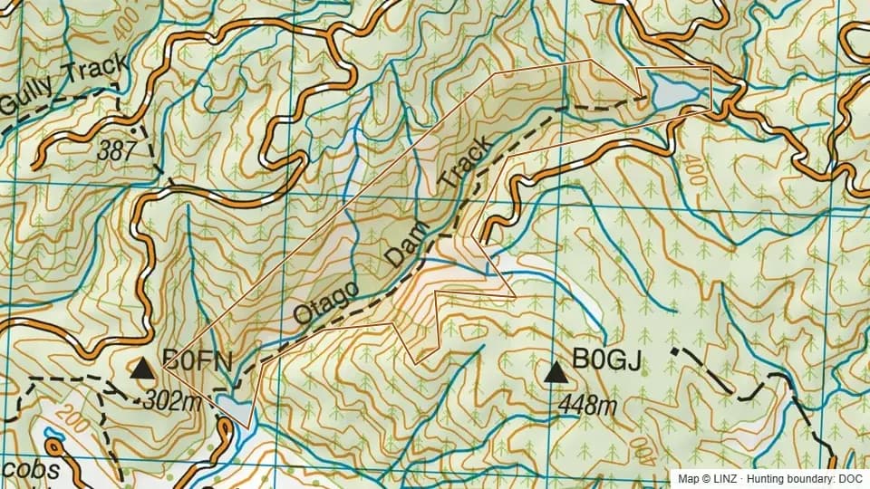 Gabriels Gully74 ha
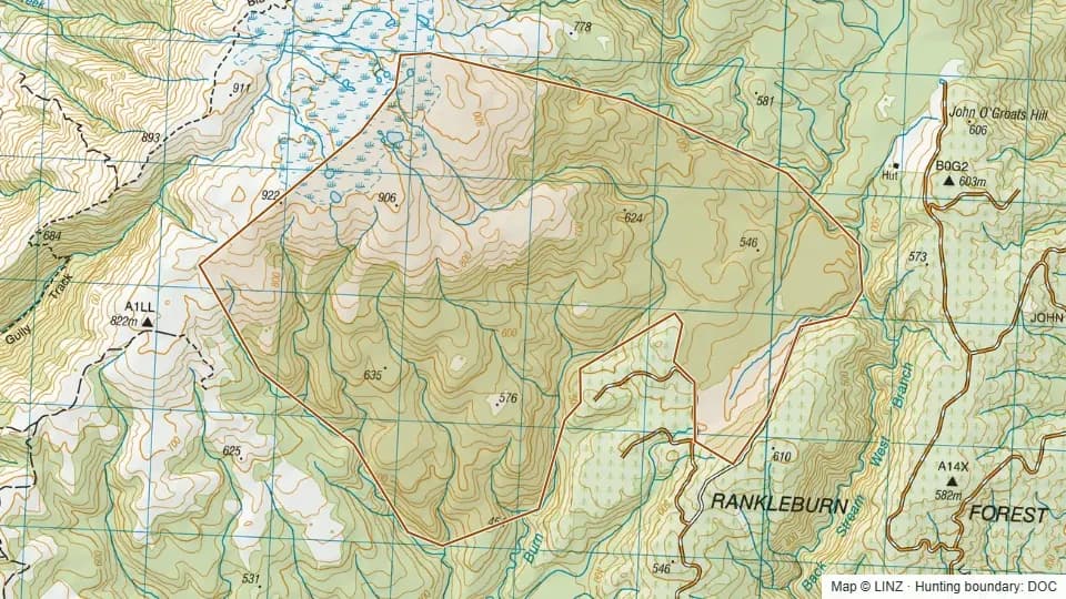 Garden Gully - Blue Mountains1,235 ha
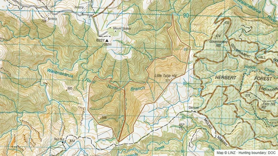 Glencoe344 ha
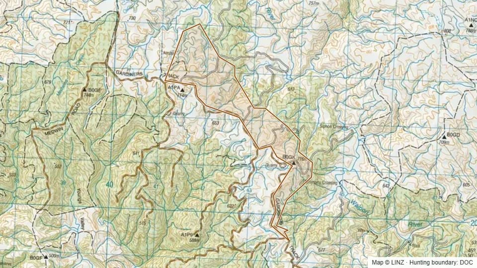 Glendhu Tussock Reserve323 ha
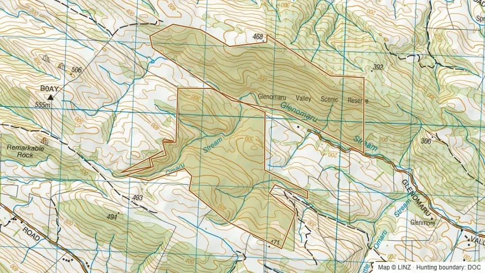 Glenomaru500 ha
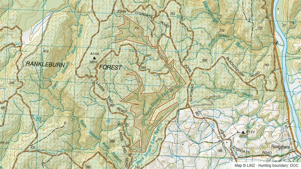 Gorge Creek - Blue Mountains195 ha
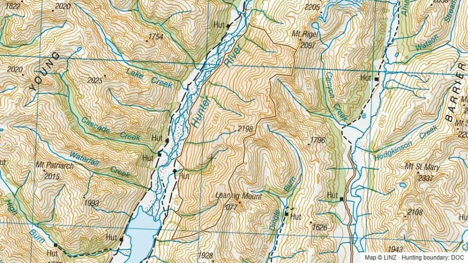 Green Bush4,298 ha
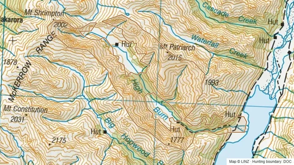 High Burn3,383 ha
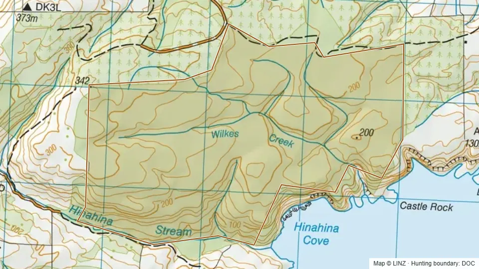 Hinahina Cove506 ha
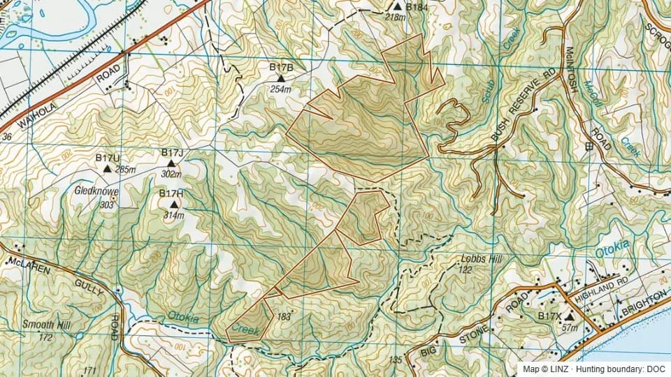 Hope Hill200 ha
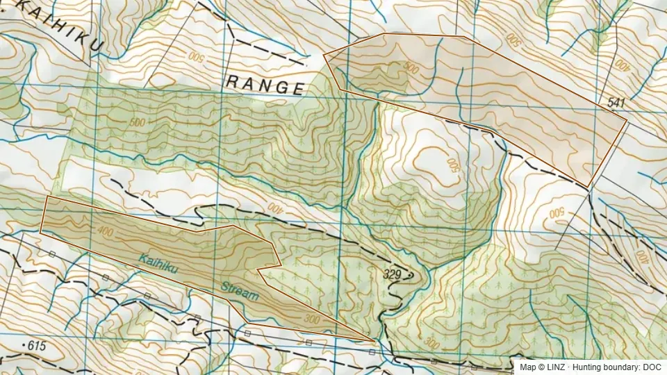 Kaihiku235 ha
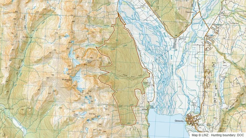 Kinloch Kowhai Bush1,341 ha
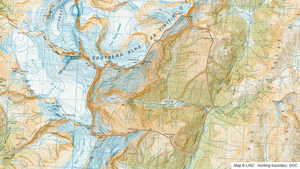 Kitchener3,688 ha
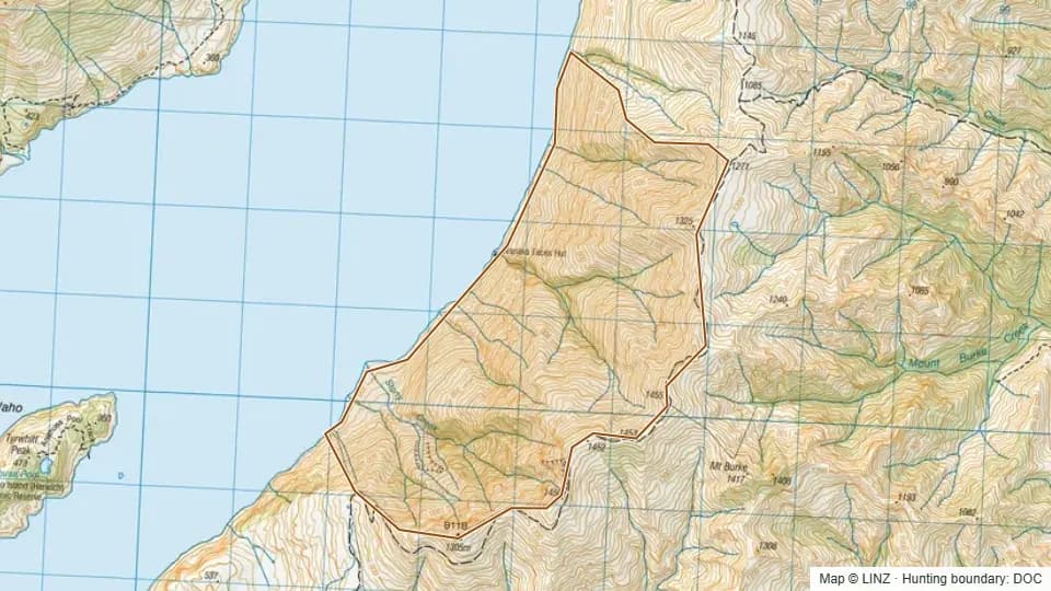 Lake Wanaka Faces1,066 ha
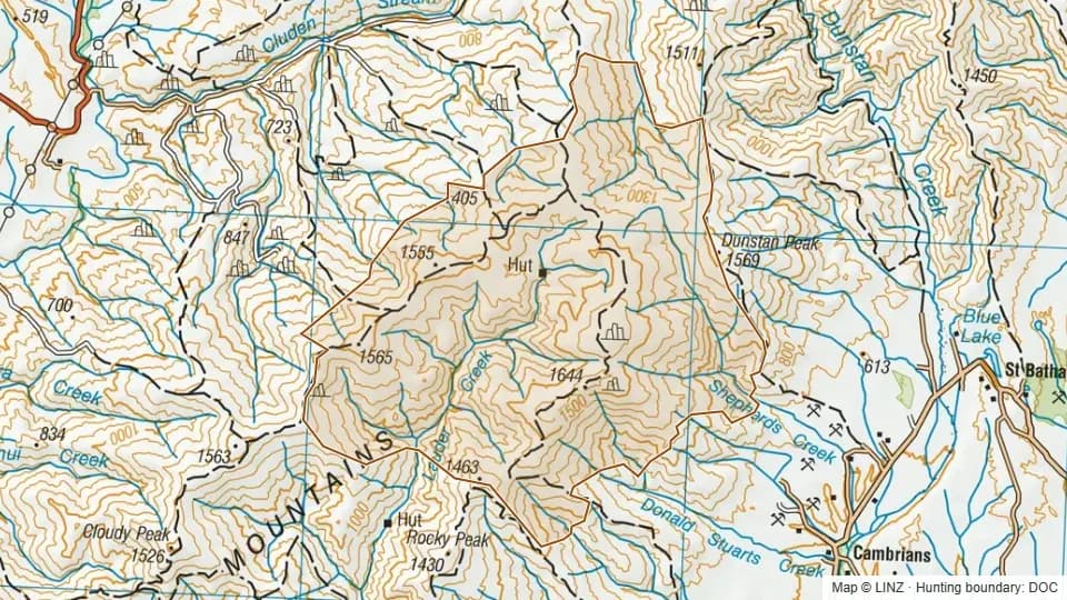 Lauder Basin8,747 ha
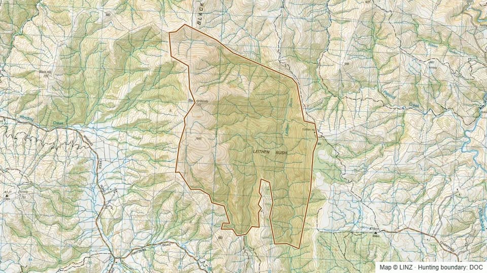 Leithen Bush Scenic Reserve2,333 ha
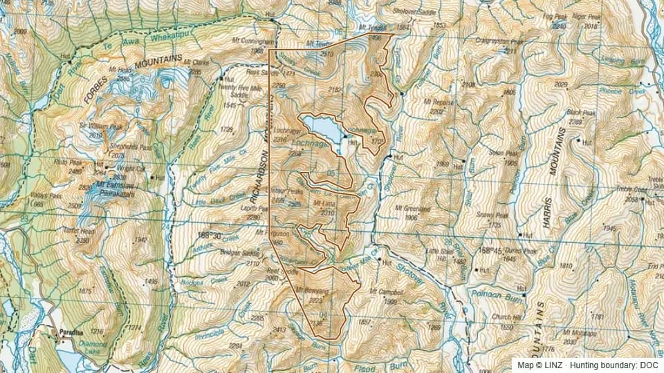 Lochnagar10,802 ha
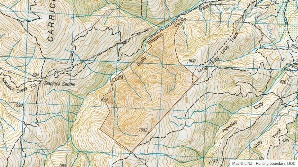 Long Gully295 ha
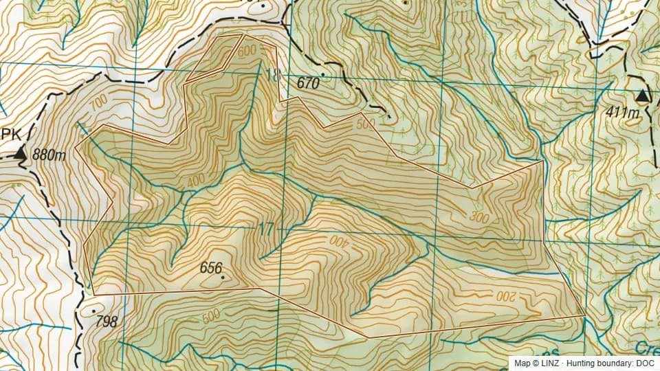 Long Gully - Blue Mountains352 ha
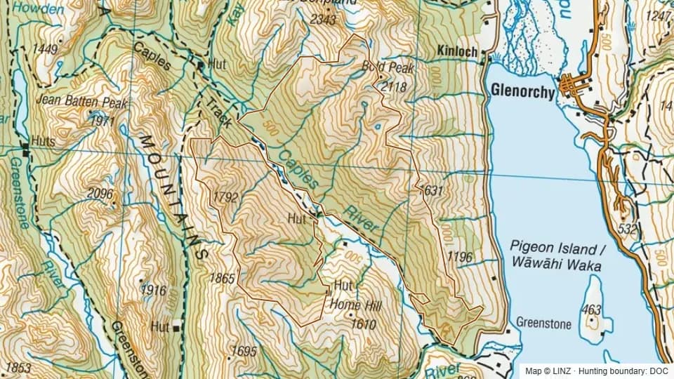 Lower Caples RHA4,941 ha
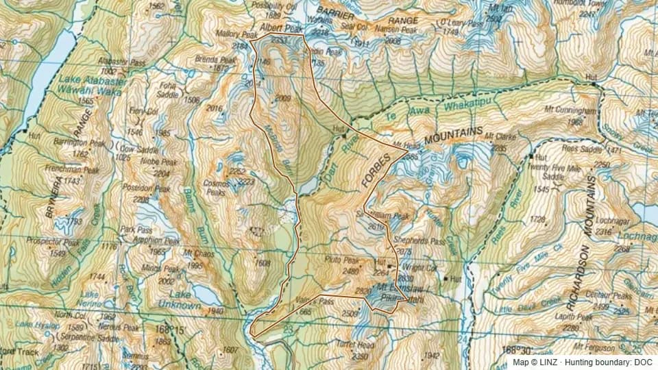 Lower Dart7,859 ha
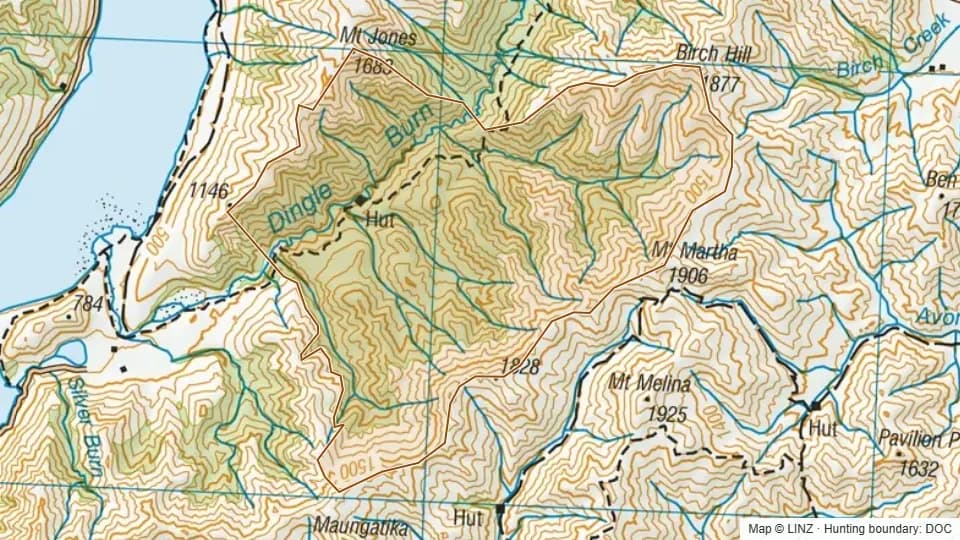 Lower Dingle5,872 ha
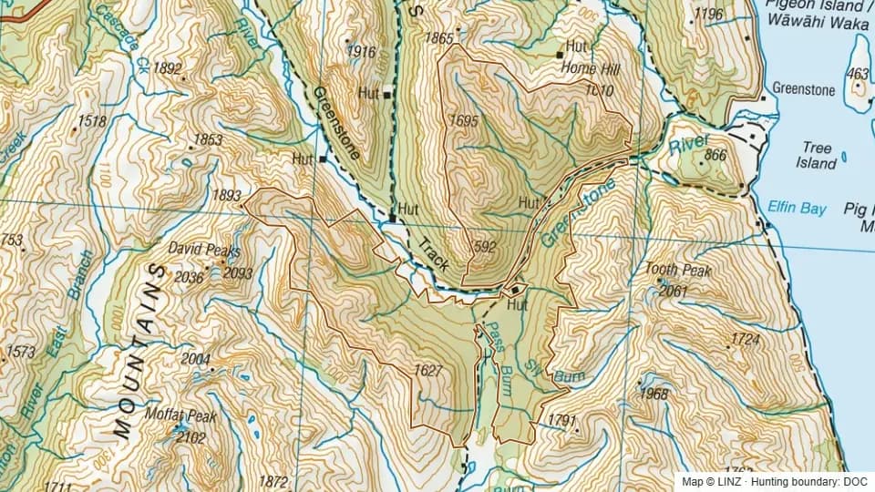 Lower Greenstone RHA5,876 ha
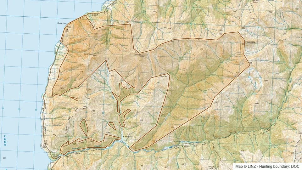 Lower Timaru4,166 ha
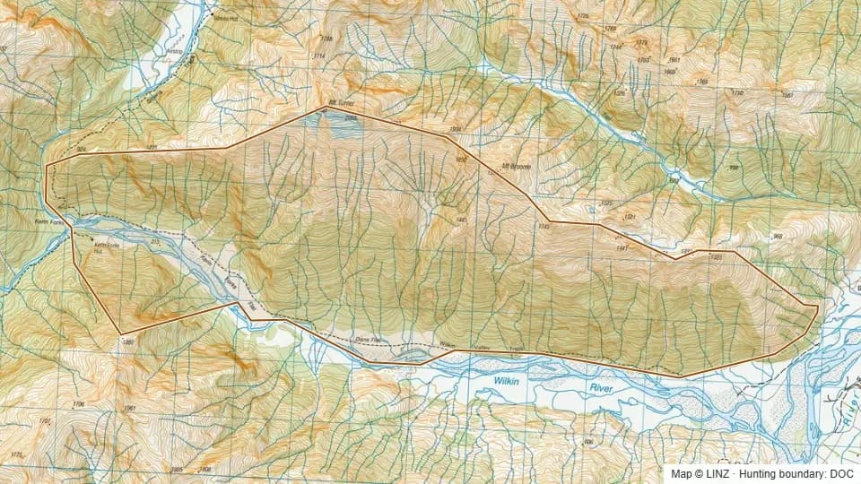 Lower Wilkin3,530 ha
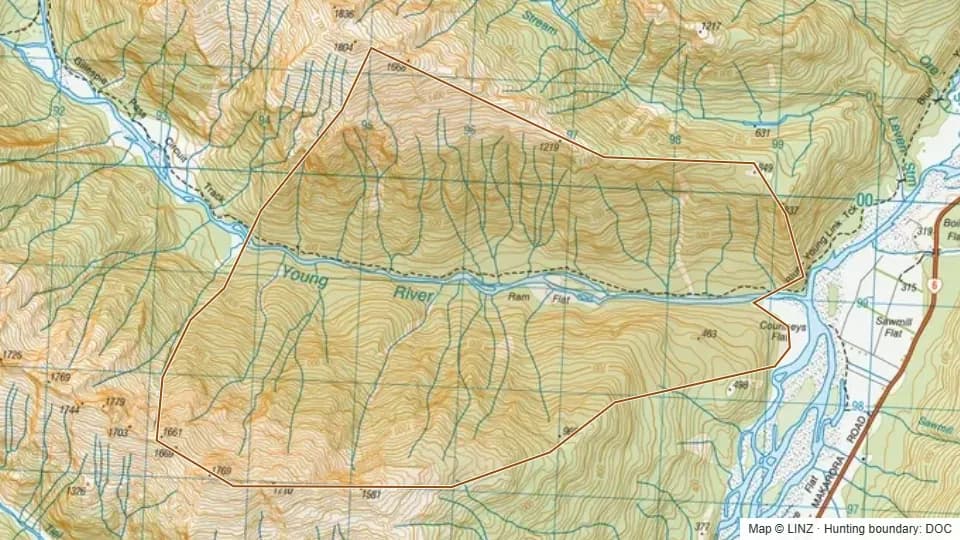 Lower Young1,701 ha
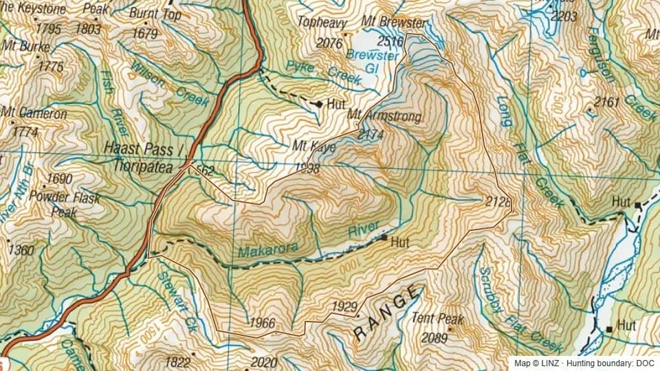 Makarora6,435 ha
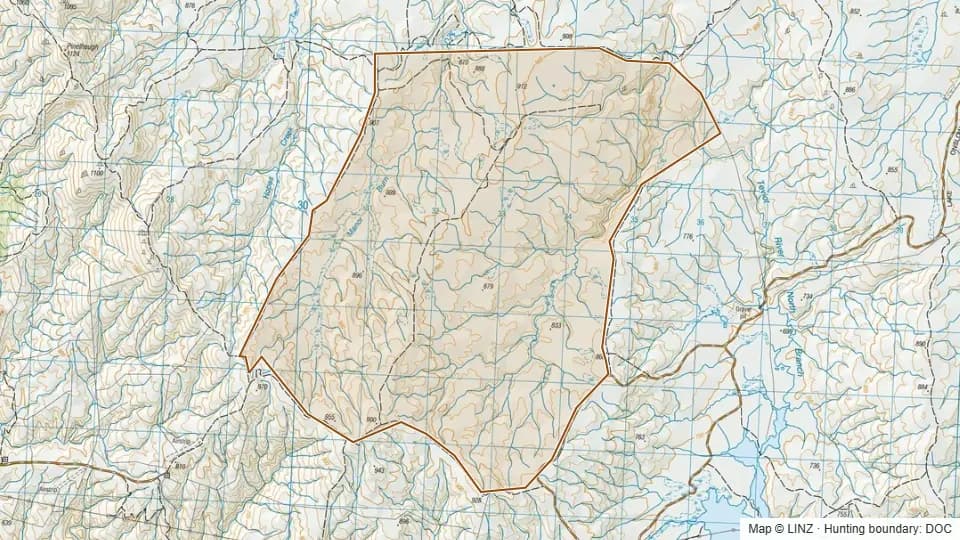 Manorburn2,883 ha
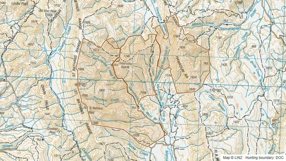 Manuherikia hunting block19,788 ha
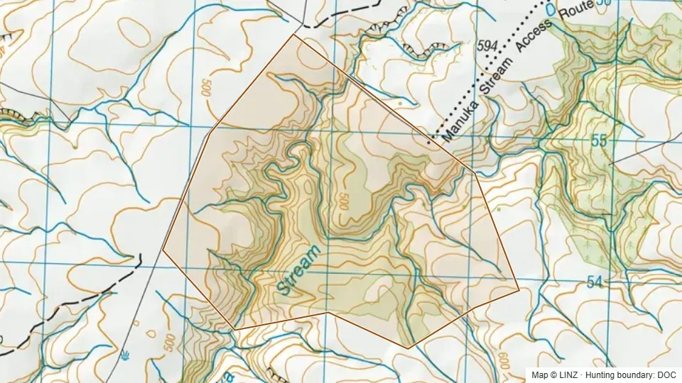 Manuka Stream333 ha
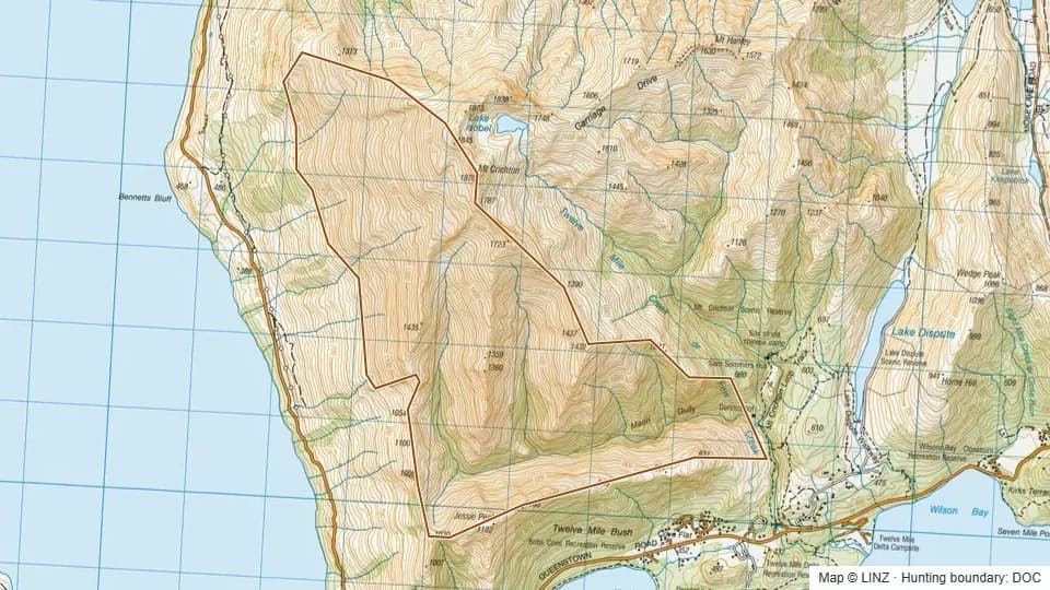 Maori Gully1,475 ha
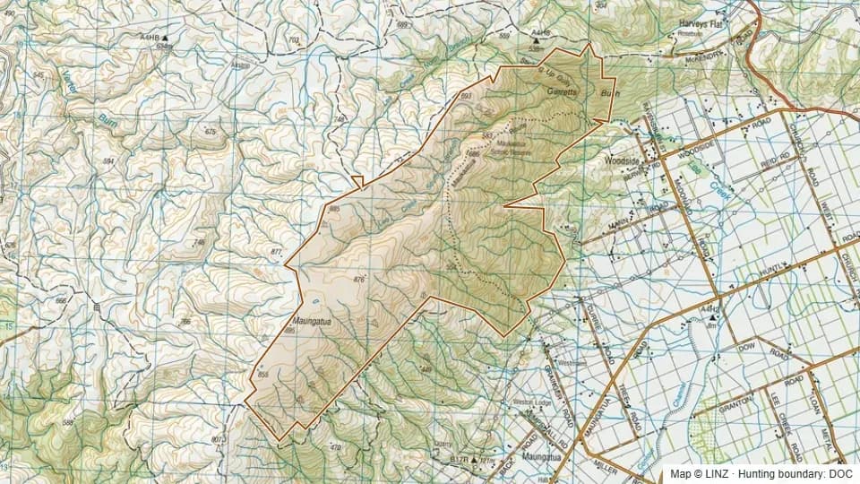 Maungatua1,208 ha
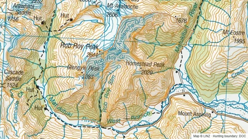 Mid Matukituki5,587 ha
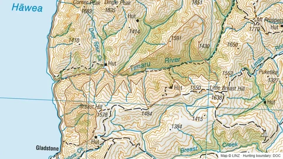 Mid Timaru Creek4,095 ha
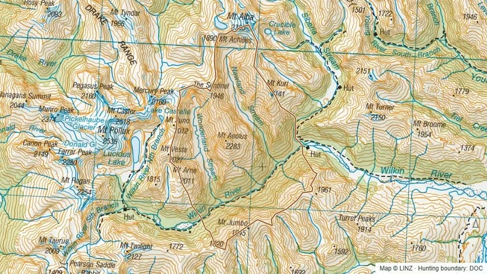 Mid Wilkin7,408 ha
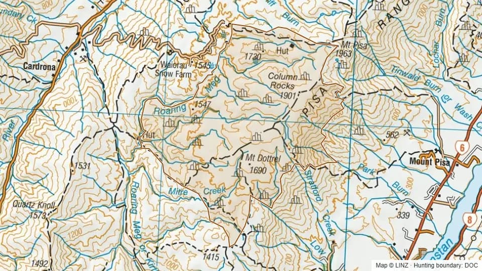 Middle Pisa Conservation Area7,018 ha
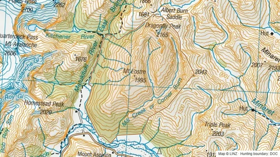 Mill Creek5,312 ha
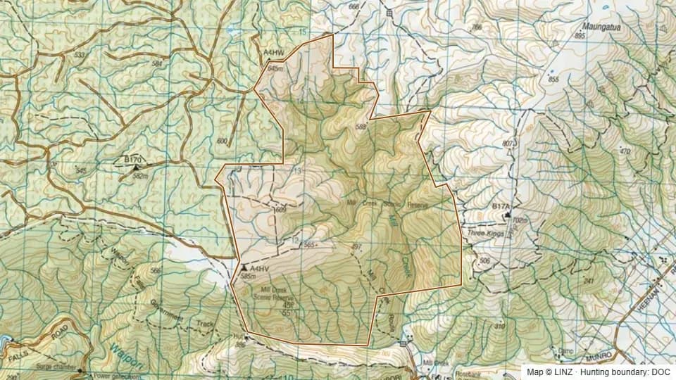 Mill Creek1,806 ha
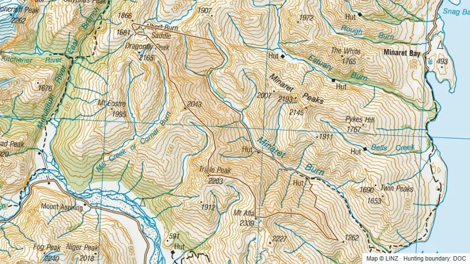 Minaret Burn3,920 ha
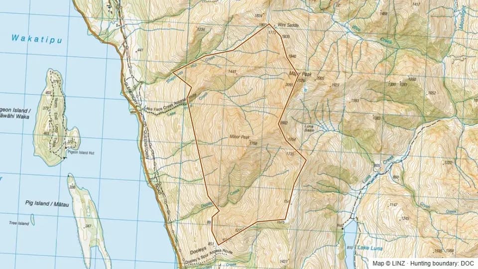 Minor Peak1,067 ha
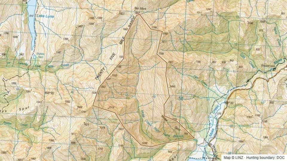 Moke Creek Right Branch829 ha
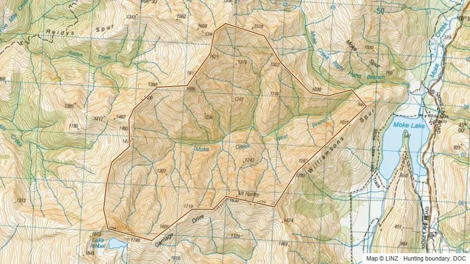 Moke Creek West Branch1,298 ha
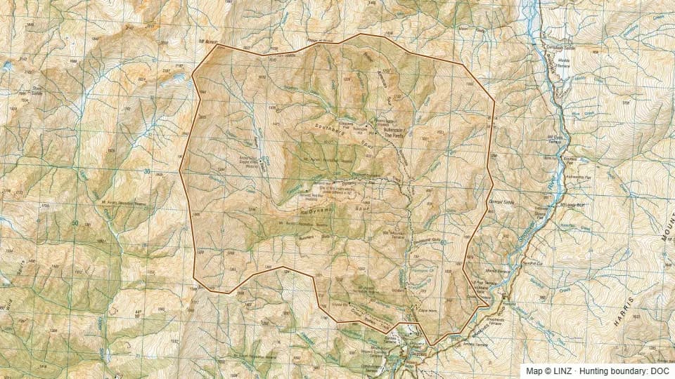 Mount Aurum6,859 ha
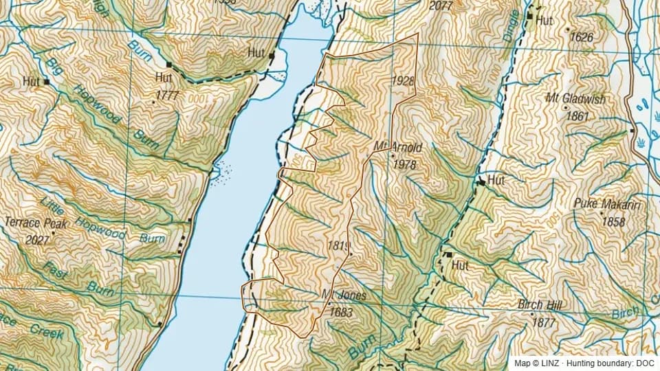 Mount Jones3,046 ha
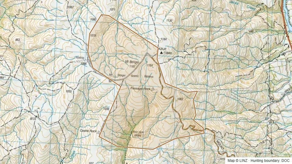 Mt Benger907 ha
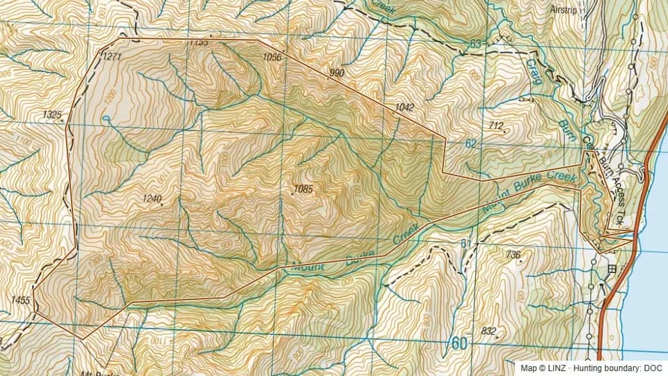 Mt Burke Creek894 ha
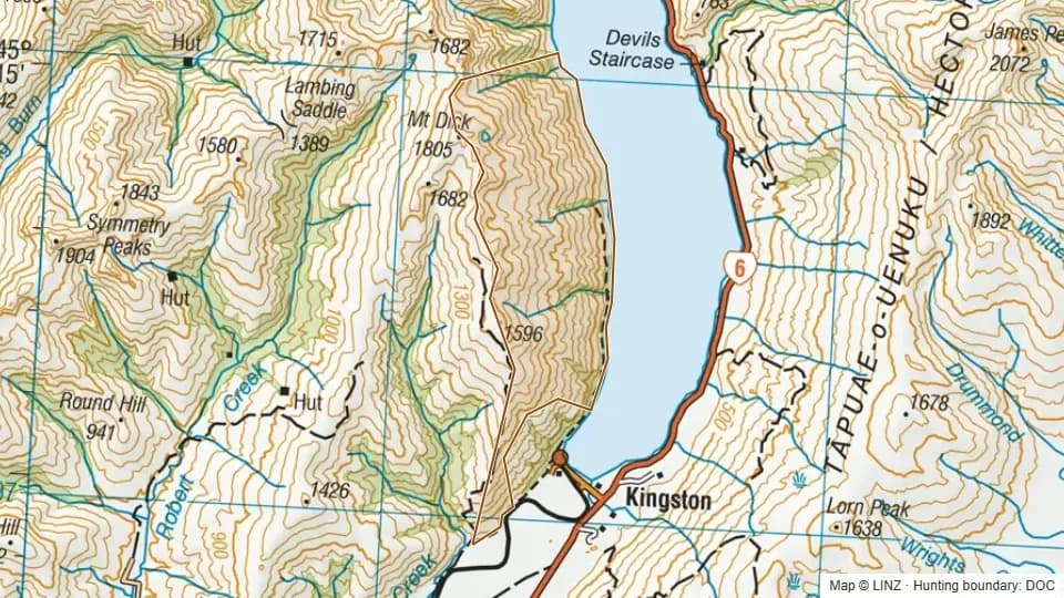 Mt Dick Hunting Area2,152 ha
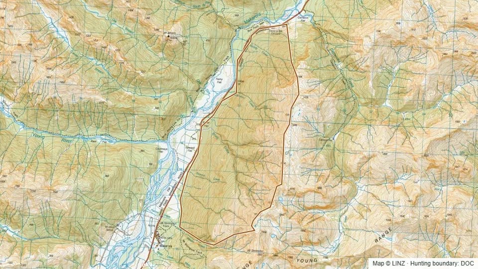 Muddy Creek2,191 ha
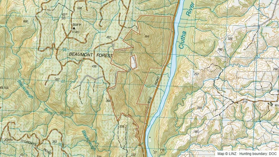 Myles - Blue Mountains379 ha
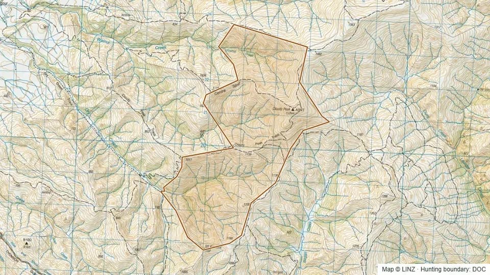 Neinei I Kura1,643 ha
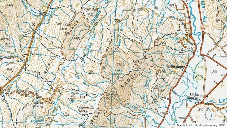 Northern Pisa Conservation Area5,567 ha
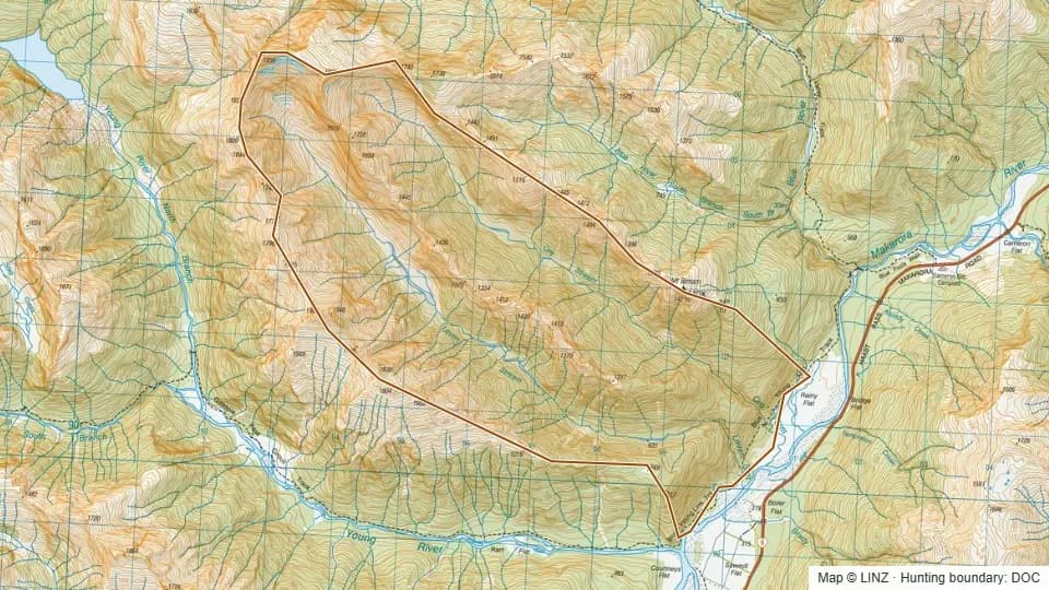 Ore-Leven2,976 ha
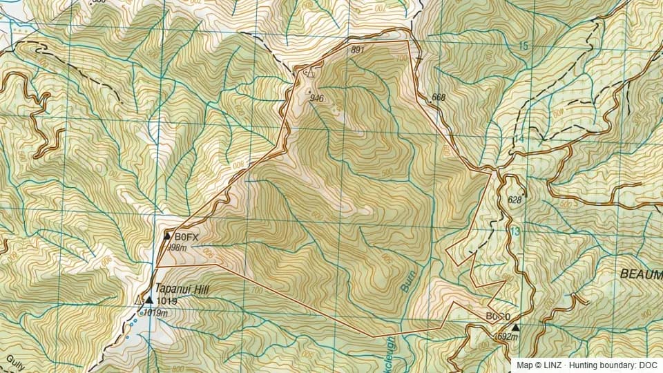 Packers - Blue Mountains662 ha
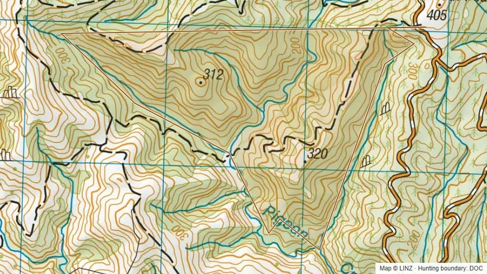 Pigeon Bush203 ha
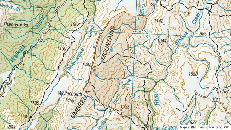 Pomahaka Conservation Area3,284 ha
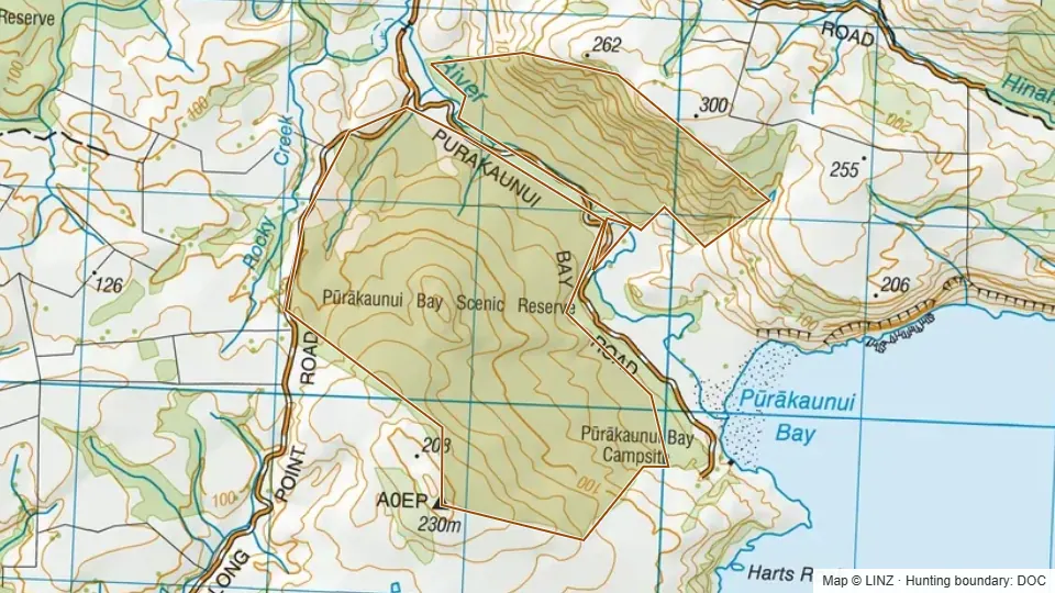 Purakaunui Bay366 ha
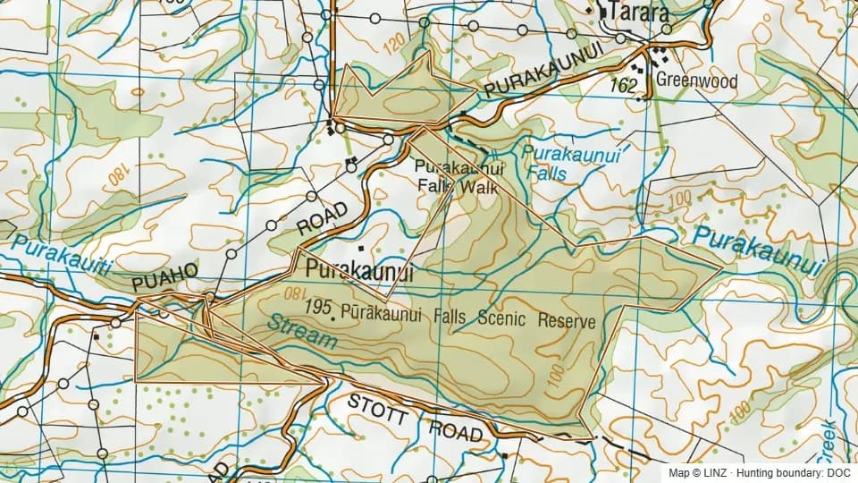 Purakaunui Falls217 ha
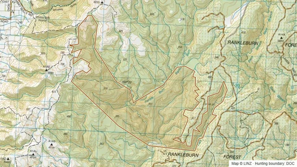 Rankleburn - Blue Mountains954 ha
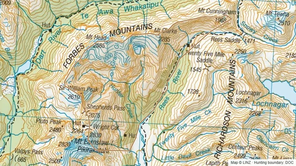 Rees Valley5,982 ha
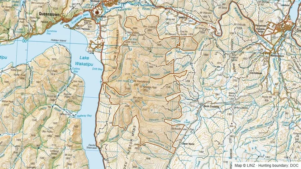 Remarkables25,897 ha
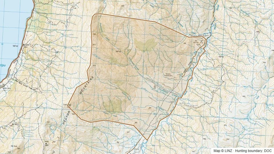 Remarkables (Central Otago)4,313 ha
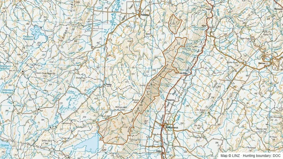 Rock and Pillar9,868 ha
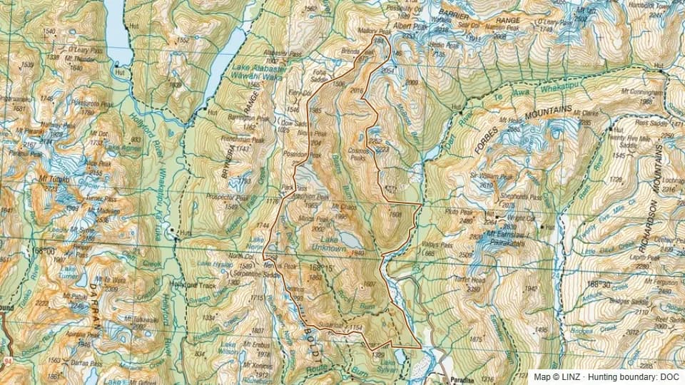 Rock Burn12,913 ha
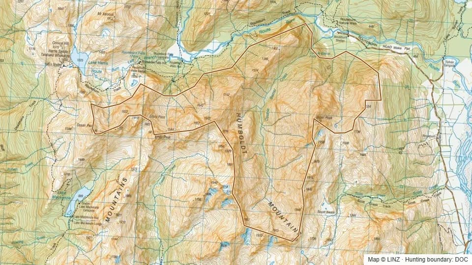 Routeburn2,151 ha
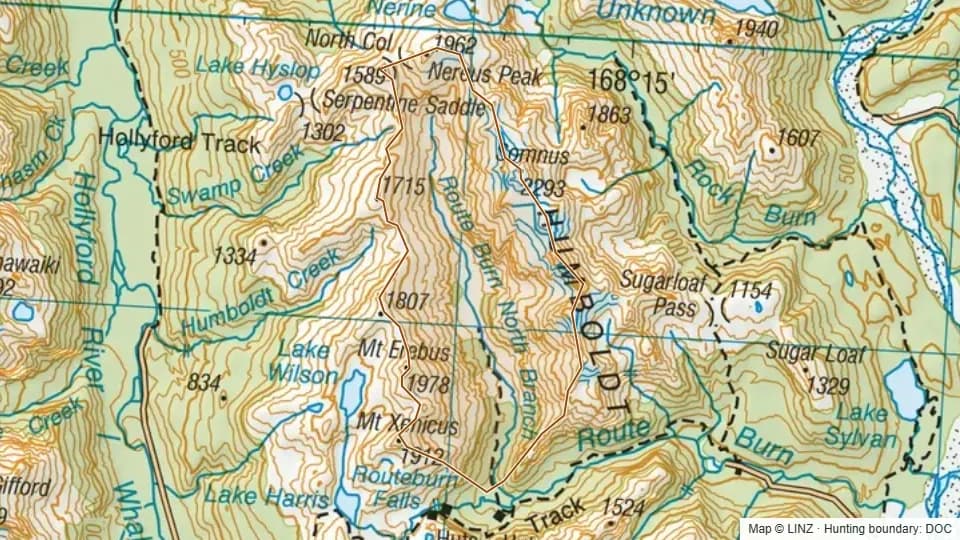 Routeburn North Branch2,442 ha
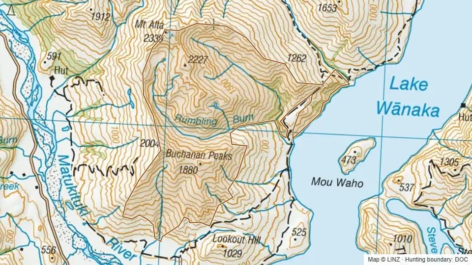 Rumbling Burn4,827 ha
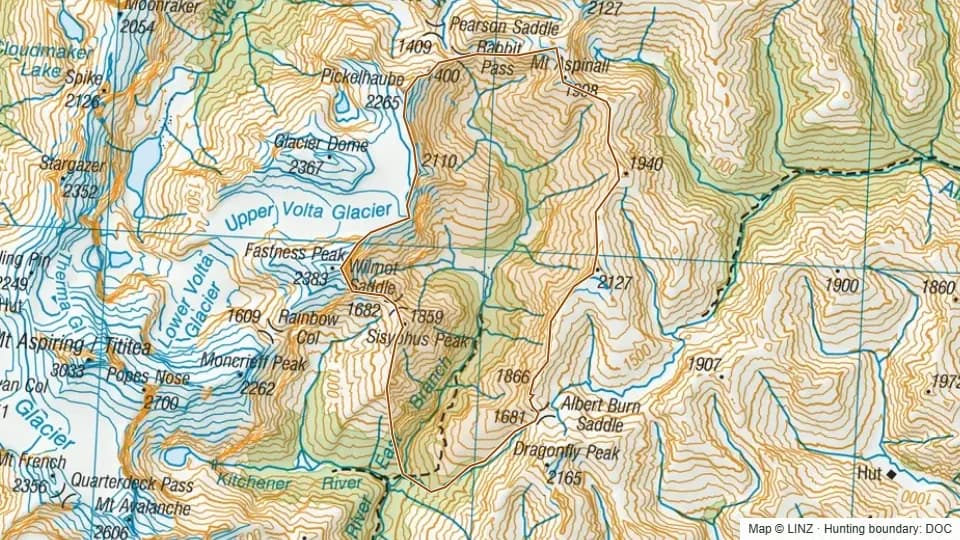 Ruth Flat5,059 ha
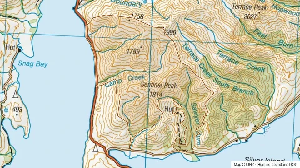 Sawyer Burn4,326 ha
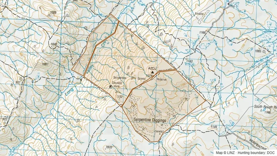 Serpentine745 ha
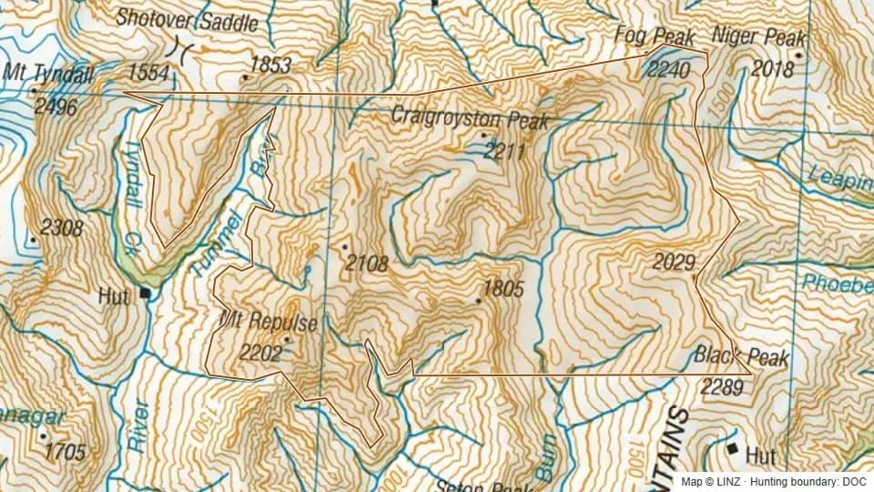 Sharks Tooth6,925 ha
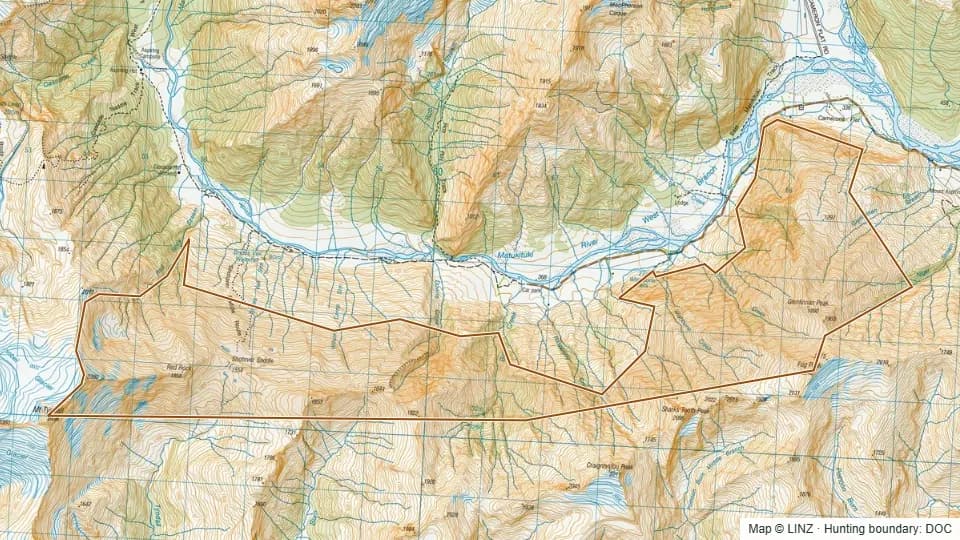 Shotover Saddle Faces2,650 ha
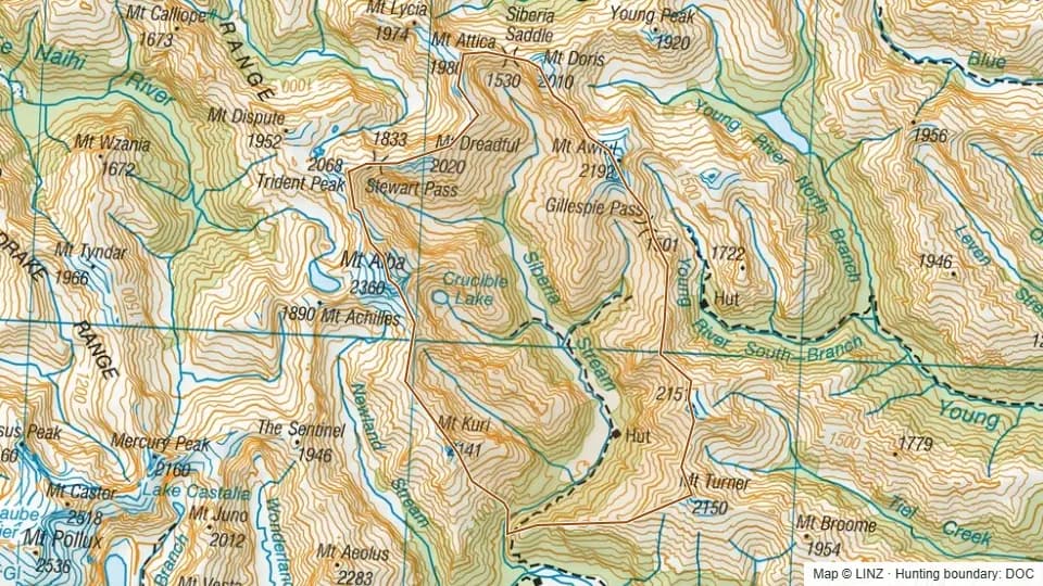 Siberia6,933 ha
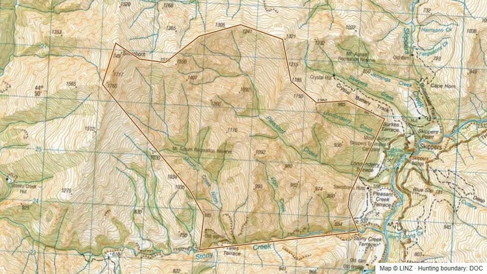 Silverhorn6,859 ha
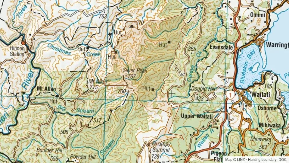 Silverpeaks3,494 ha
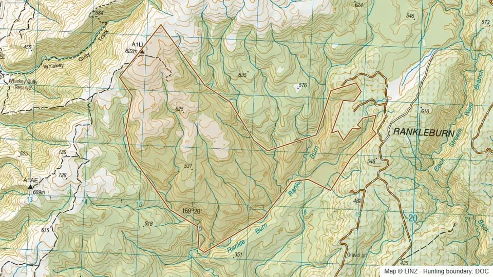 Smithys Spur - Blue Mountains794 ha
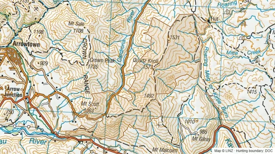 Southern Pisa Conservation Area5,321 ha
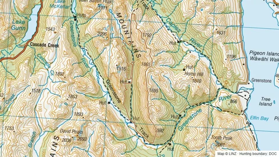 Steele Creek RHA2,161 ha
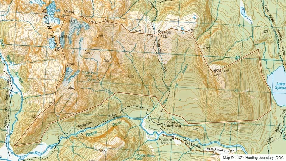 Sugarloaf1,477 ha
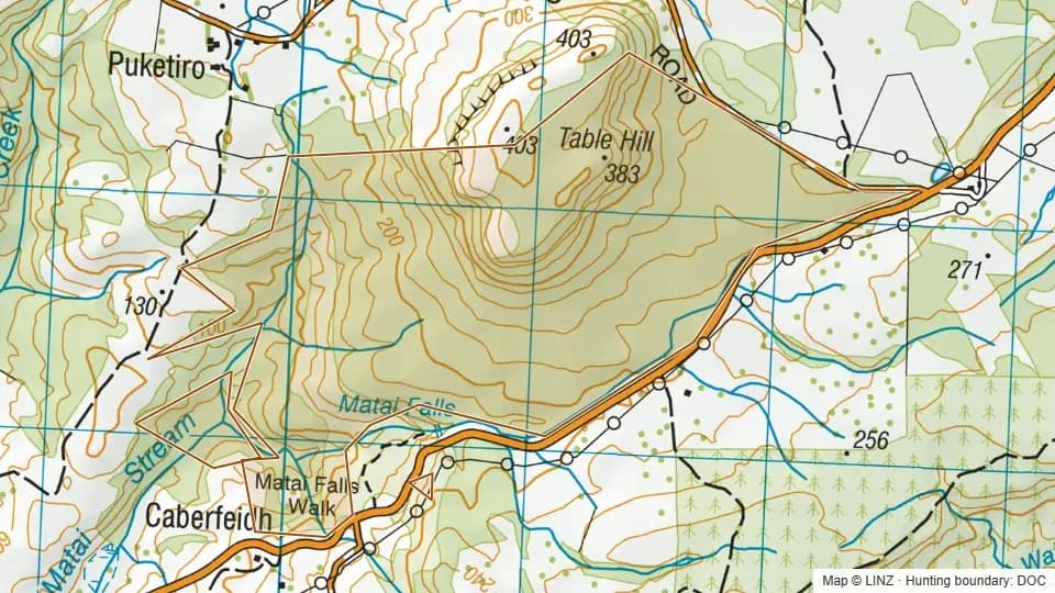 Table Hill300 ha
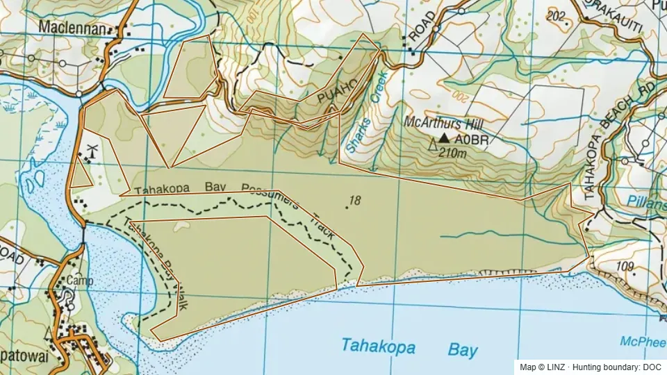 Tahakopa Bay458 ha
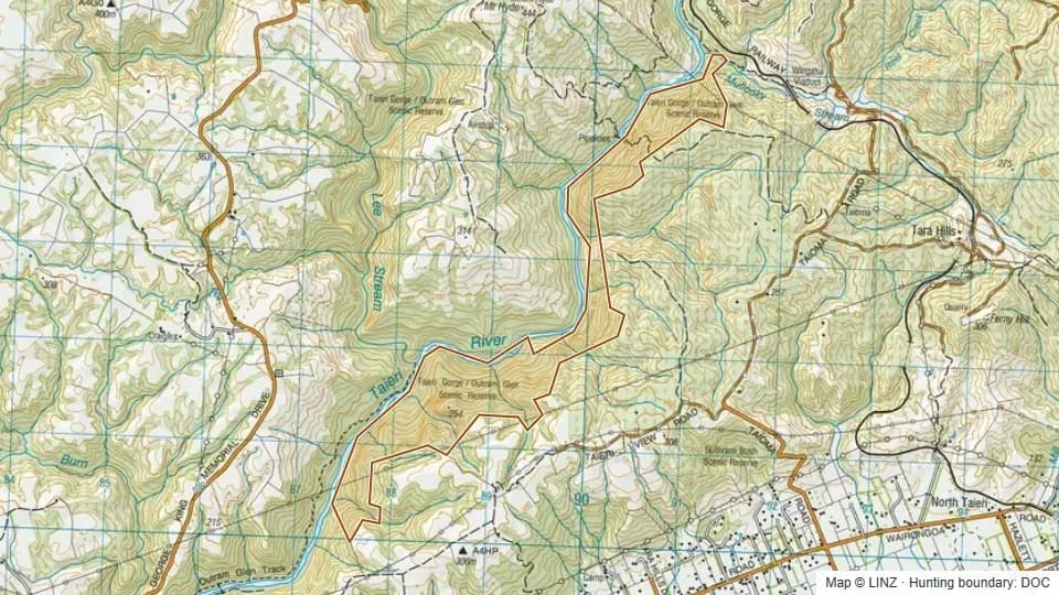 Taieri Gorge293 ha
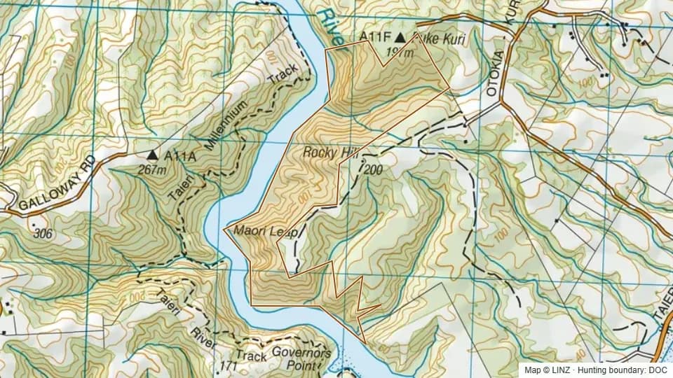 Taieri River127 ha
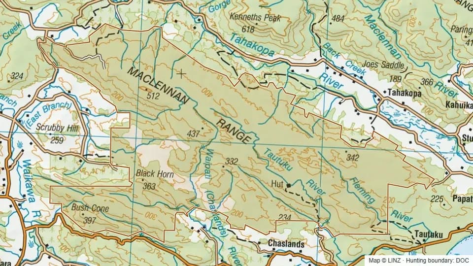 Tautuku Forest12,909 ha
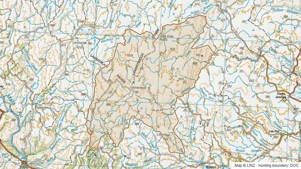 Te Papanui22,884 ha
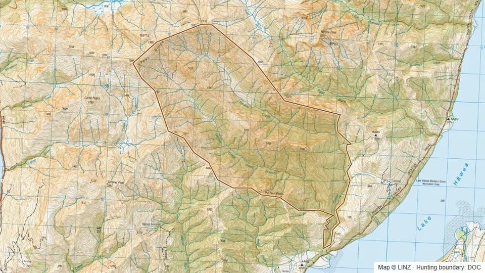 Terrace Creek2,798 ha
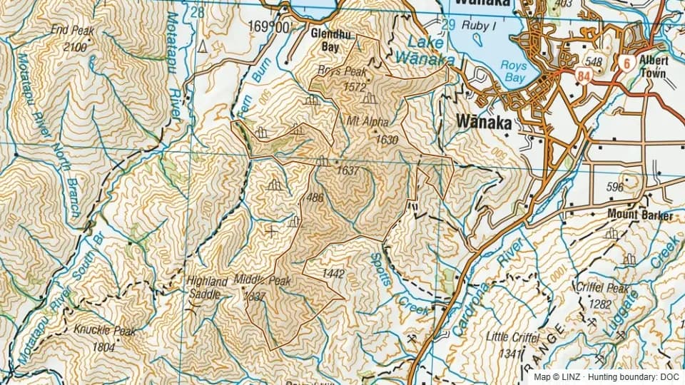 The Stack Conservation Area4,094 ha
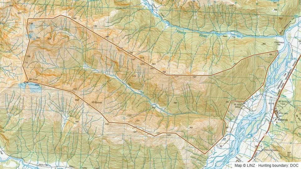 Tiel3,468 ha
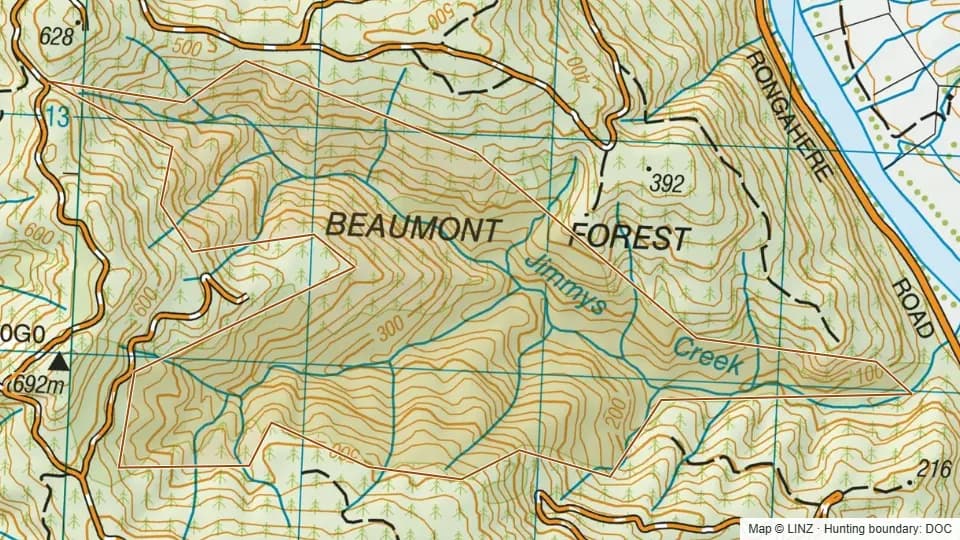 Tramway - Blue Mountains283 ha
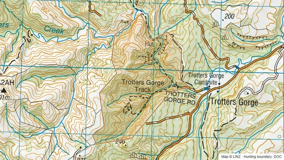 Trotters Gorge153 ha
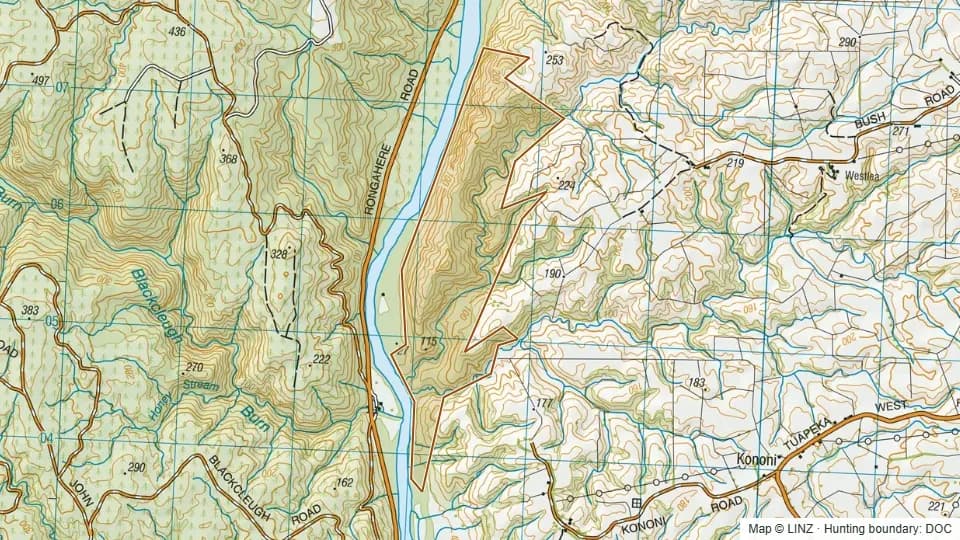 Tuapeka West225 ha
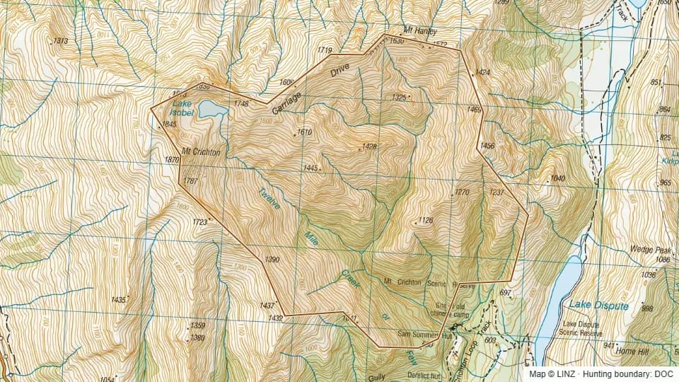 Twelve Mile Creek1,262 ha
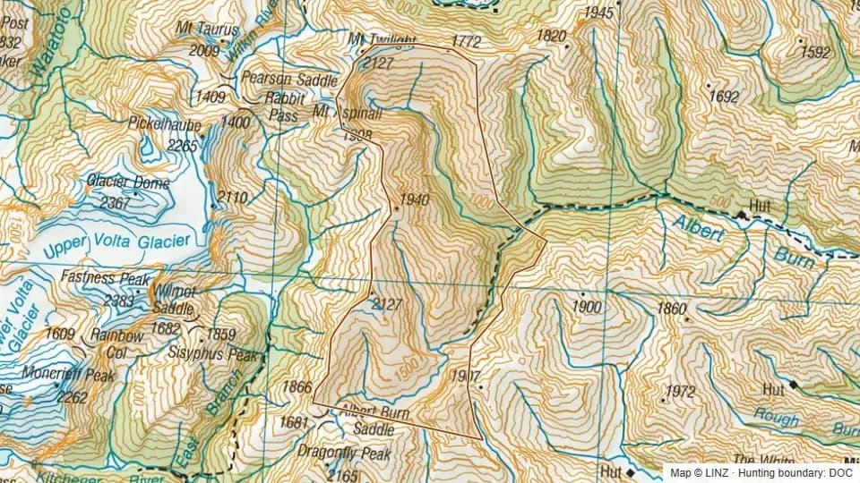 Upper Albert Burn4,593 ha
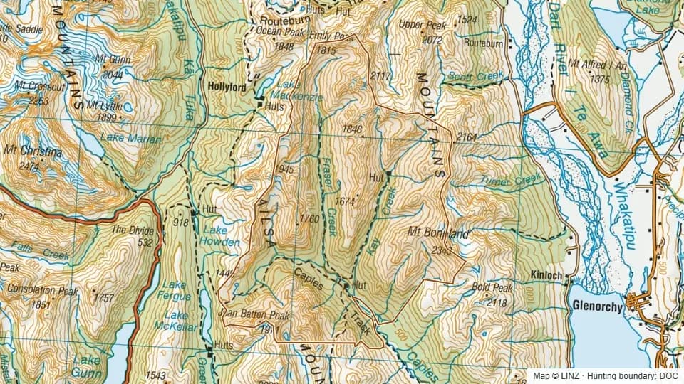 Upper Caples RHA9,414 ha
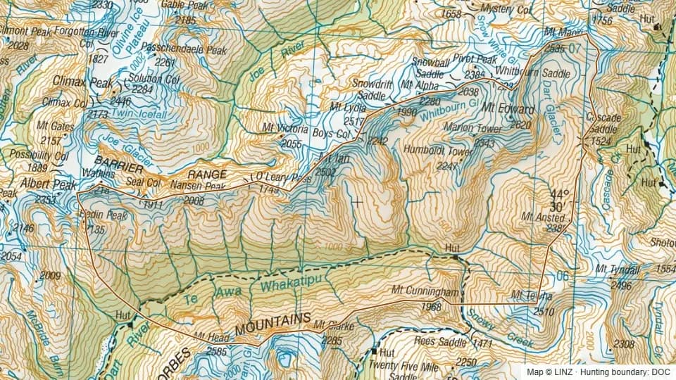 Upper Dart16,642 ha
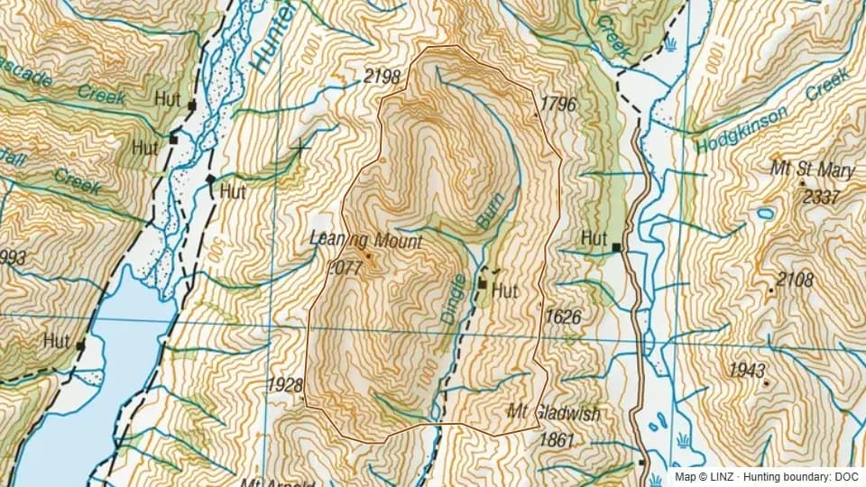 Upper Dingle4,476 ha
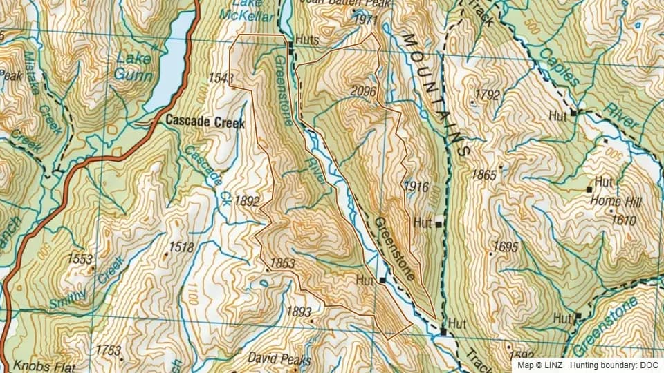 Upper Greenstone RHA4,215 ha
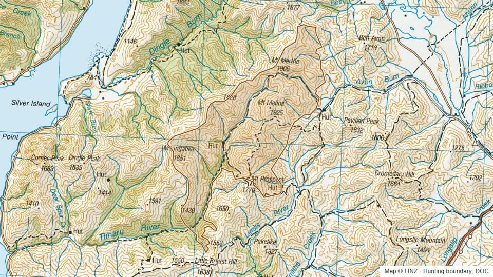 Upper Timaru6,611 ha
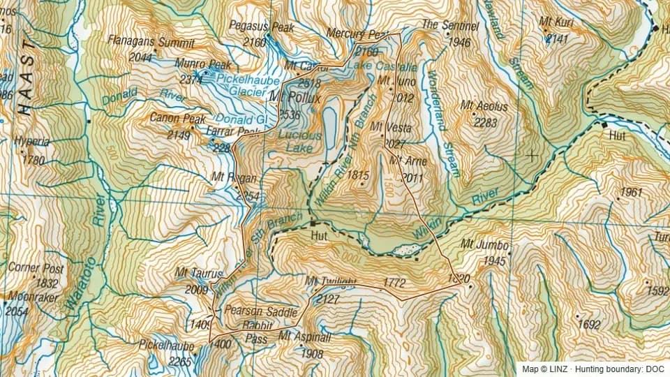 Upper Wilkin6,416 ha
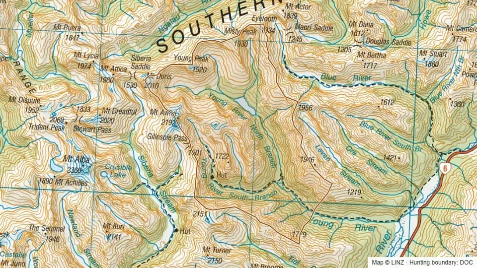 Upper Young8,350 ha
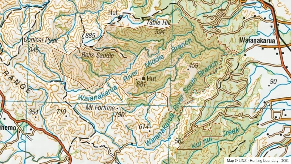 Waianakarua9,702 ha
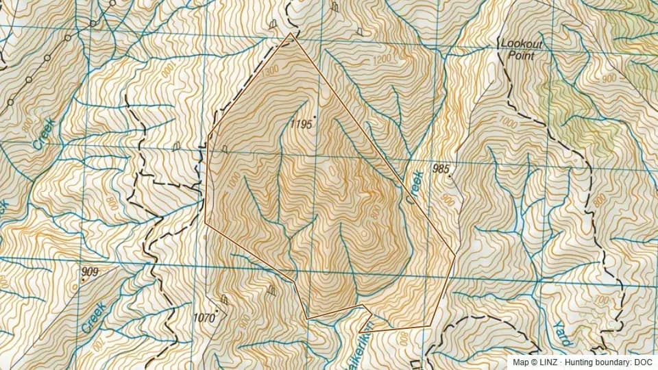 Waikerikeri324 ha
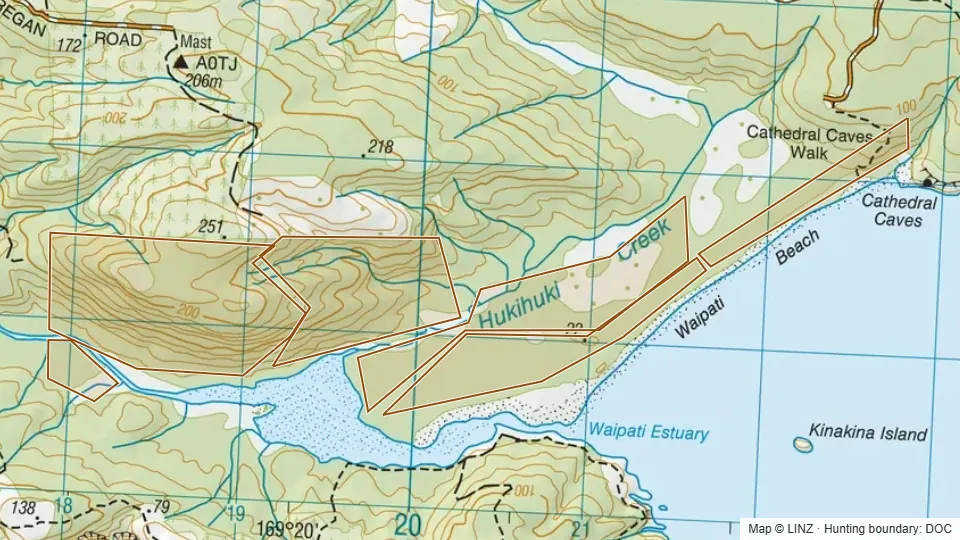 Waipati272 ha
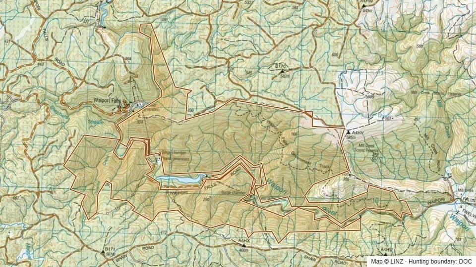 Waipori Falls3,107 ha
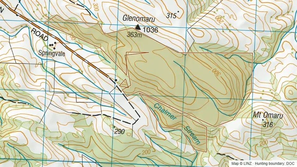 Warepa Scenic Reserve224 ha
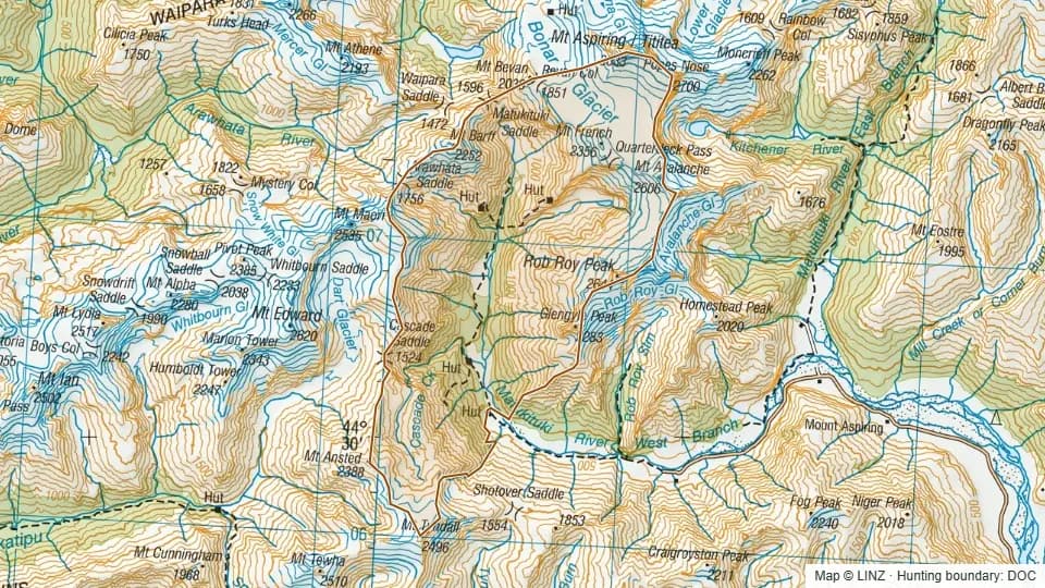 West Matukituki9,132 ha
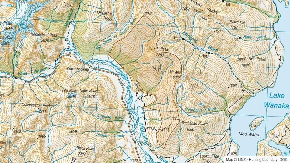 West Wanaka5,643 ha
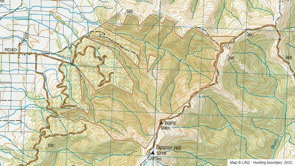 Westwood - Blue Mountains553 ha
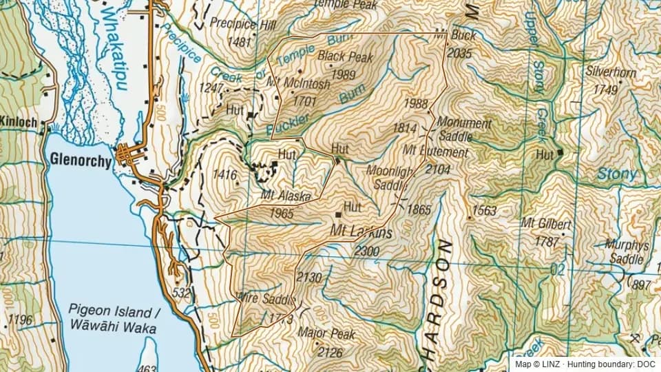 Whakaari4,580 ha
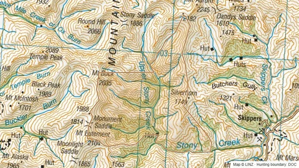 Whakaari East4,230 ha
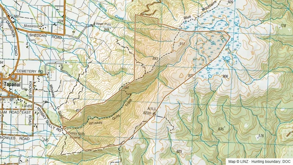 Whisky - Blue Mountains655 ha
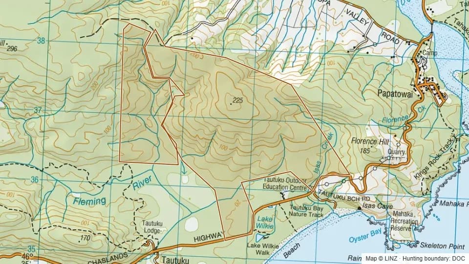 William King Scenic Reserve546 ha
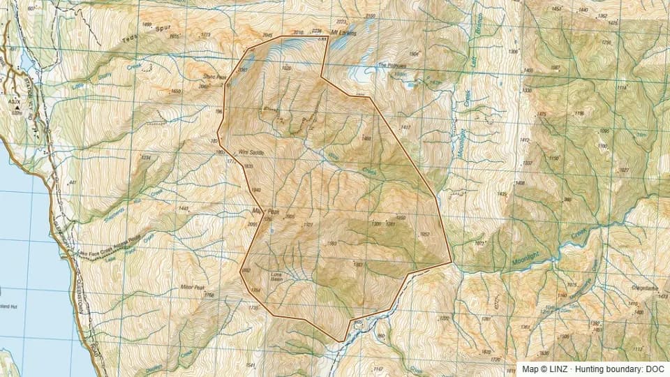 Wire Creek1,887 ha
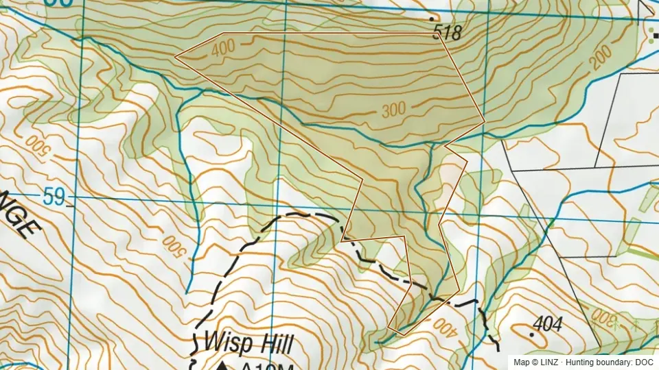 Wisp Range93 ha