Hunting in Bay of Plenty
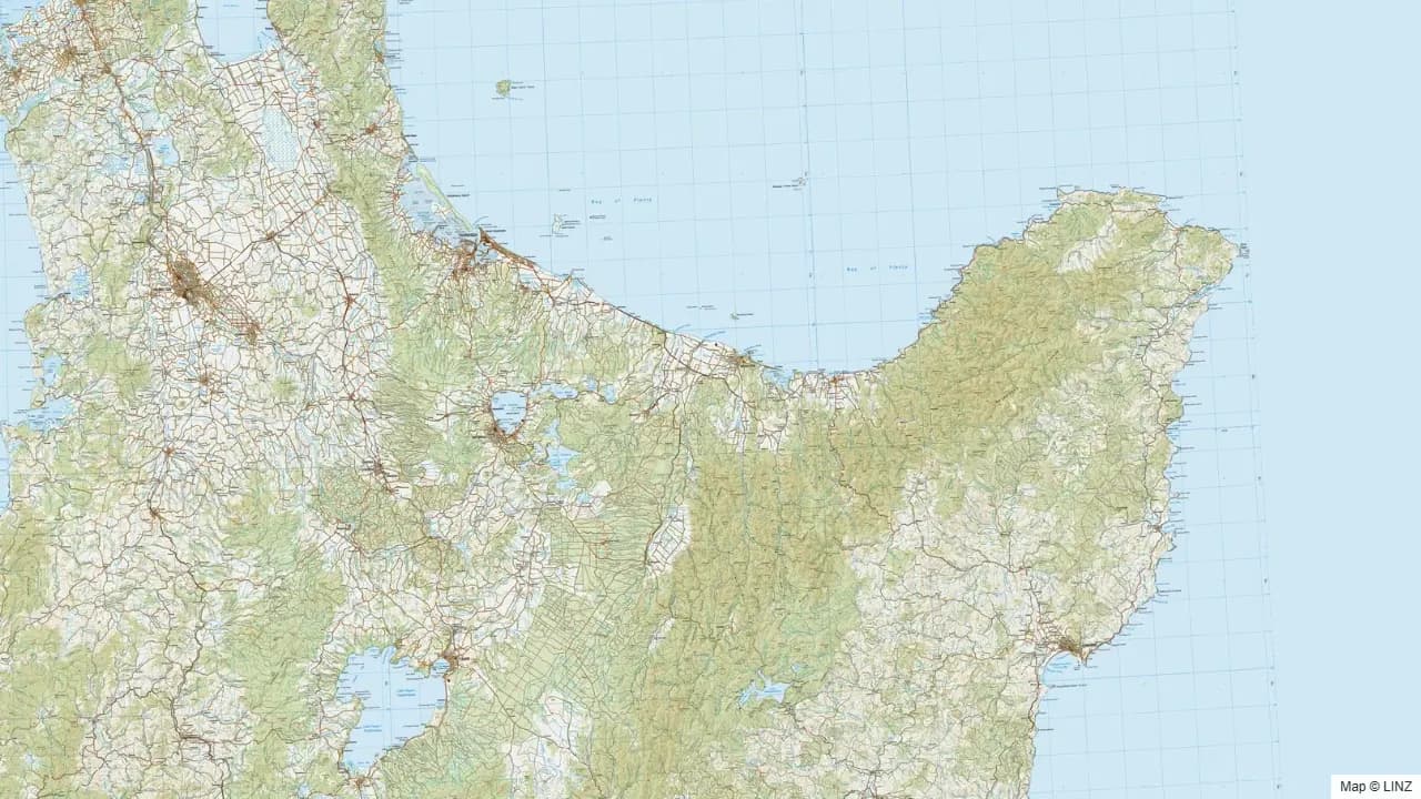
Overview
Bay of Plenty runs along the north-east coast from the Kaimai Range behind Tauranga, east through the Rotorua volcanic district, and out to the East Cape at the far end of the Raukumara Range. The hunting country is all inland — a succession of large forest parks and conservation areas stacked against the ranges that back the coastal plain. Five blocks each exceed 20,000 hectares, with the Raukumara Conservation Park alone covering more than 110,000 hectares of some of the most remote and undisturbed bush in the North Island.
The variety of country is significant. The Kaimai-Mamaku is the closest and most accessible block — a compact range with red deer, fallow, and pig within an easy drive of Tauranga and Hamilton. Whirinaki is one of New Zealand's most celebrated podocarp forests and holds sika as well as red deer. The Raukumara and Waioeka blocks are genuinely remote — demanding trips, but very low hunting pressure and strong animal numbers.
What You Can Hunt
- Red deer — the most widespread species, present throughout all the major blocks. Strong populations in the Raukumara, Waioeka, and Whirinaki.
- Sika deer — present in Whirinaki and the Rangitaiki Conservation Area, where sika have spread east from the Kaimanawa core range.
- Fallow deer — established in the Raukumara, Kaimai-Mamaku, Waioeka, and Urutawa blocks. The Raukumara holds the region's largest public fallow population.
- Wild pig — abundant throughout, particularly in the Raukumara, Waioeka, and the lower Kaimai country. Bay of Plenty pig hunting has a strong tradition, especially around the Ōpōtiki and Whakatāne back country.
- Wild goat — common across all the major blocks; particularly dense in the Raukumara and Waioeka.
Where to Hunt
- Raukumara Conservation Park — 111,000 ha of remote beech-podocarp bush straddling the Bay of Plenty/Gisborne boundary. Red deer, fallow, pig, and goat throughout. Very low hunting pressure given the demanding access — most of the interior requires multi-day trips. The coastward edges are more accessible via roads out of Ōpōtiki and Whakatāne. Helicopter is commonly used to access the remote northern catchments.
- Whirinaki Te Pua-a-Tāne Conservation Park — 54,600 ha of ancient podocarp forest south-east of Rotorua between the Galatea Plain and the Kaimanawa Range. Red deer, sika, pig, and goat. The sika population here represents the eastern edge of the Kaimanawa range expansion. A well-developed hut and track network; accessible from SH 38 and the Minginui road.
- Kaimai Mamaku Conservation Park — 40,000 ha of steep bush-covered ranges running between Tauranga, Hamilton, and Rotorua. Red deer, fallow, pig, and goat. The most road-accessible of the region's major blocks, with multiple entry points off SH 29 and back roads from Tauranga and Matamata.
- Waioeka Conservation Area and Waioeka Gorge Scenic Reserve — together covering over 56,000 ha of gorge and ridge country in the Ōpōtiki hinterland. Red deer, fallow, pig, and goat. The Waioeka Gorge road (SH 2) provides the main spine; side valleys and ridges extend well into the interior.
- Urutawa Conservation Area — 22,000 ha adjoining the Waioeka blocks, adding further depth to the Ōpōtiki back country. Red deer, fallow, pig, and goat.
- Rotorua Lakes blocks — a collection of smaller forest and scenic reserves around the Rotorua lake district: Rotoehu, Rotoma, Lake Tarawera, Lake Okataina, Mamaku Forest, and others. Primarily pig and goat, with red deer in the larger blocks. Accessible and often overlooked.
Getting In
- Road — SH 2 (Tauranga to Ōpōtiki via the Waioeka Gorge), SH 29 (Tauranga to Hamilton through the Kaimai), SH 30 (Rotorua to Whakatāne), and SH 38 (Rotorua to Wairoa through the Whirinaki and Urewera country) are the main arteries. Most block entries branch off these roads.
- Foot — the standard entry once off the road. Whirinaki has the most developed hut network; Kaimai is well tracked; the Raukumara and Waioeka blocks require more self-sufficient trips.
- Air — helicopter access is widely used for the remote Raukumara interior and the upper Waioeka catchments, subject to current DOC rules. Whirinaki huts are also reachable by helicopter, though most hunters walk in.
- Water — jet boat access up the Mōtū River provides an option for reaching the northern Raukumara catchments; ride- and flow-dependent.
Seasons & Weather
Bay of Plenty has a warm, humid climate that makes hunting reasonably comfortable year-round. The coastal plain is mild and wet; the inland ranges get heavier rainfall and occasional snow on the higher tops.
| Period | What's happening | Notes |
|---|---|---|
| Mar–Apr | Red roar, early sika | Red roar reliable across all blocks. Sika roar starts later — Whirinaki peaks through April into May. |
| Apr–May | Fallow rut | Raukumara and Kaimai fallow rut, peaking early to mid-April. |
| Jun–Aug | Winter | Cool and wet; deer in valley bush. Quieter on the Raukumara and Waioeka. |
| Sep–Nov | Spring | Pig hunting strong as bush dries. Red deer velvet. |
| Dec–Feb | Summer | Hot and humid. Bush hunting limited to early morning and evening. Sandflies dense in the lower Raukumara. |
The Raukumara and Waioeka catch a lot of weather off the east coast — cyclones and ex-tropical lows can close access for extended periods. Always check road and river conditions before heading into the Ōpōtiki back country.
Gear & Conditions
Most Bay of Plenty hunting is steep, dense bush with short sightlines. A short-barrelled, quick-handling rifle in a medium calibre (6.5mm–.308) suits the close-range stalking in the Kaimai, Waioeka, and Raukumara. The Whirinaki podocarp country is quieter underfoot and rewards slow, deliberate work. Pig hunters in the Ōpōtiki back country carry well-equipped dog kits — the terrain is tough on dogs and first aid gear is non-negotiable. Sandflies are intense in the lower Raukumara in summer.
For multi-day Raukumara trips, treat them like a serious South Island expedition: extra food, river-crossing readiness, and time budgeted for weather delays.
Permits & Regulations
A free DOC hunting permit is required for all public conservation land. Different permit areas apply depending on the block — Gisborne/Raukumara, Whakatāne/Waioeka/Urutawa, Tauranga, Rotorua Lakes, and Whirinaki/Rangitāiki each have their own permit terms. Pig dog hunting is permitted on conservation land subject to current dog-control conditions and 1080 operation status; always verify before taking dogs into the Raukumara or Whirinaki blocks. Parts of the Raukumara border Tūhoe land and areas under Tūhoe co-governance — check current access arrangements before planning trips into the eastern Raukumara. Spotlight hunting is not permitted on conservation land.
Open the Map
Open Bay of Plenty in the full hunting map →
Raukumara, Whirinaki, Kaimai-Mamaku, Waioeka, and the Rotorua Lakes blocks — hunting areas, tracks, huts, and current pesticide operations.
Useful Links
Game animals in Bay of Plenty
Hunting areas in Bay of Plenty
54 DOC hunting blocks — species, huts, access and an interactive map for each.
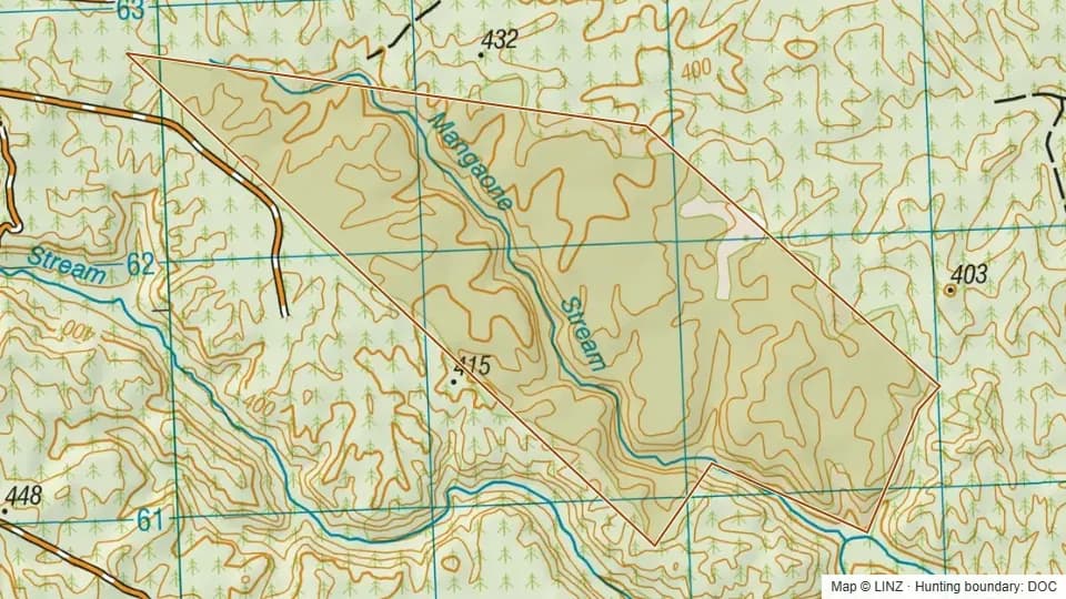 Conservation Area - Mangaone274 ha
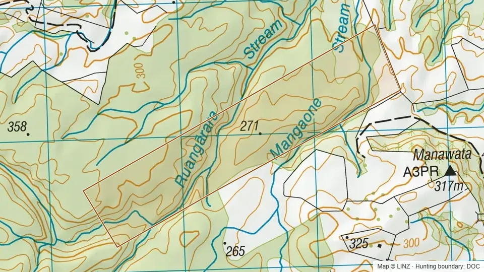 Conservation Area - Mangaone Stream124 ha
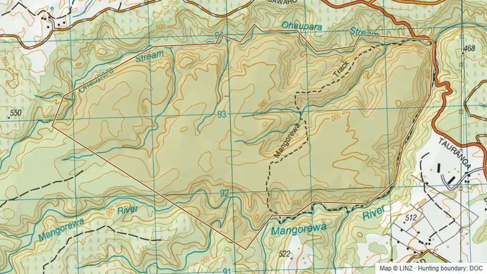 Conservation Area - Mangorewa866 ha
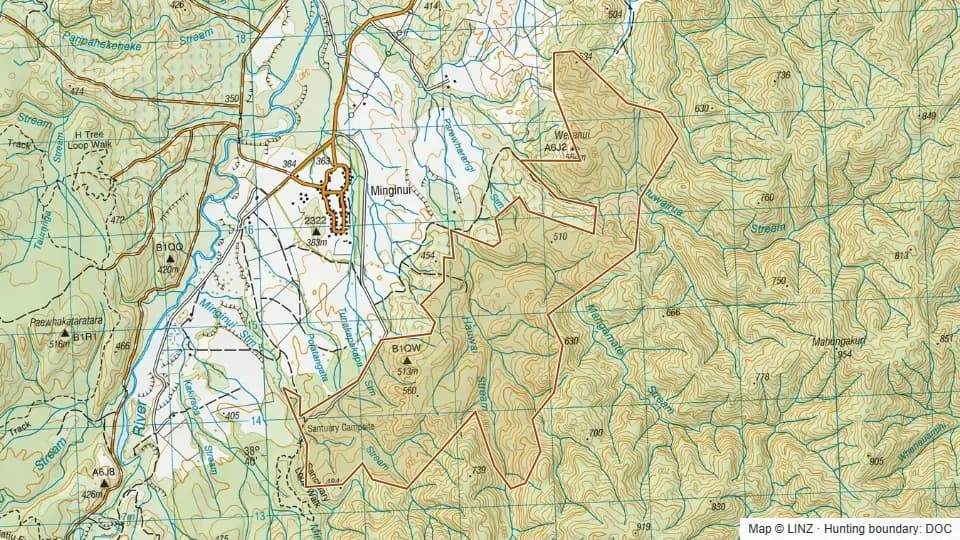 Conservation Area - Minginui651 ha
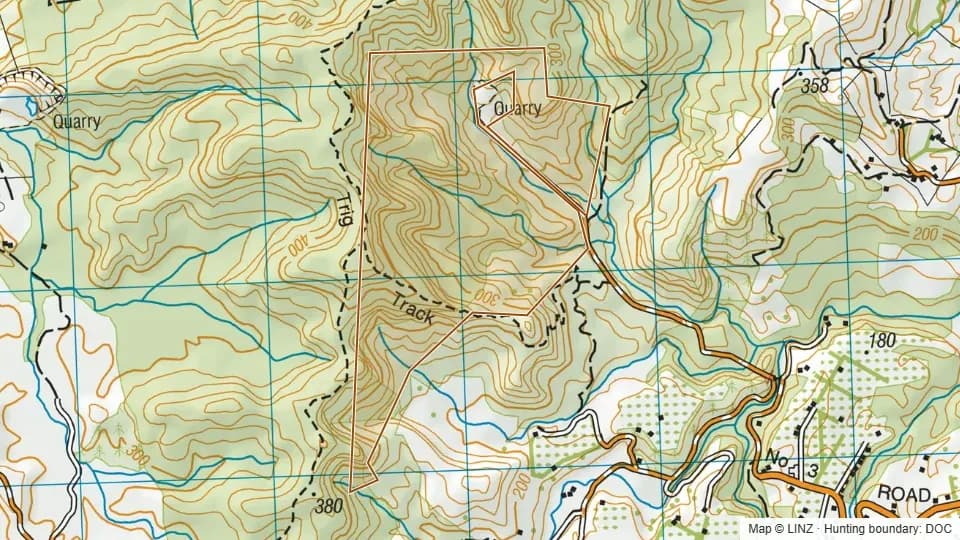 Conservation Area - No 3 Rd167 ha
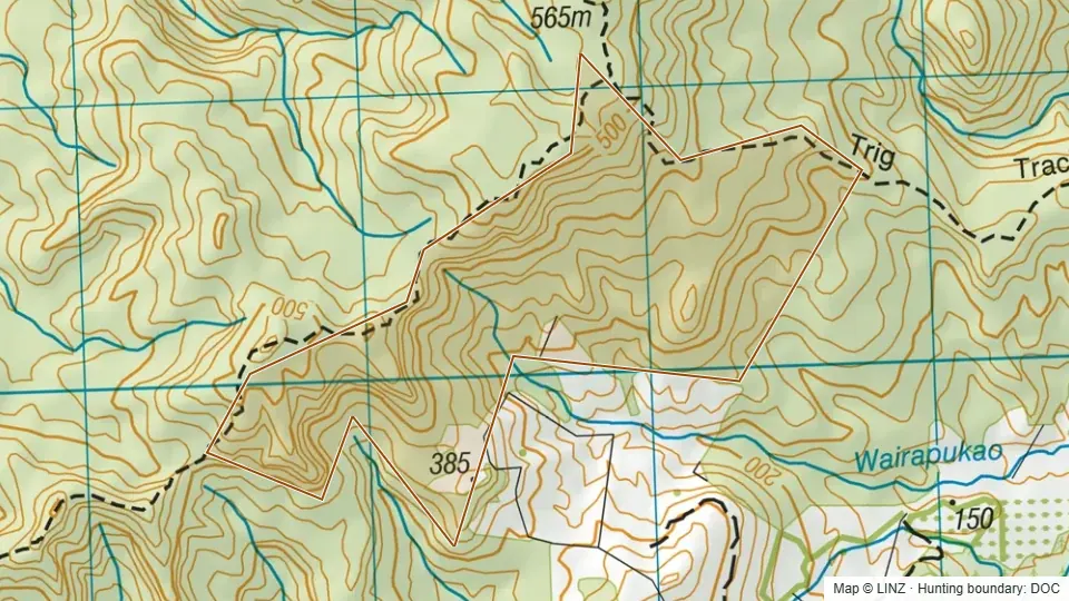 Conservation Area - No 4 Rd147 ha
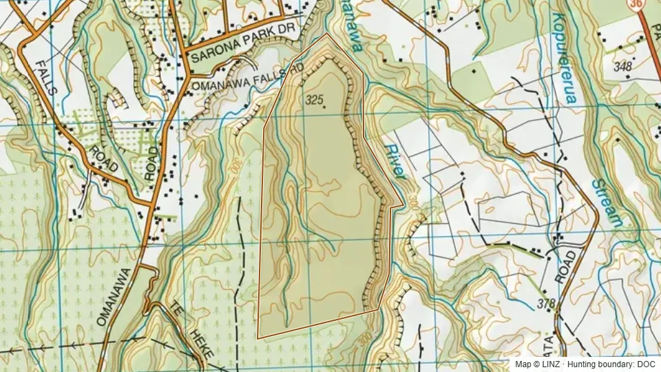 Conservation Area - Omanawa River192 ha
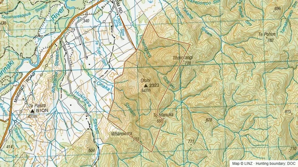 Conservation Area - Otohi293 ha
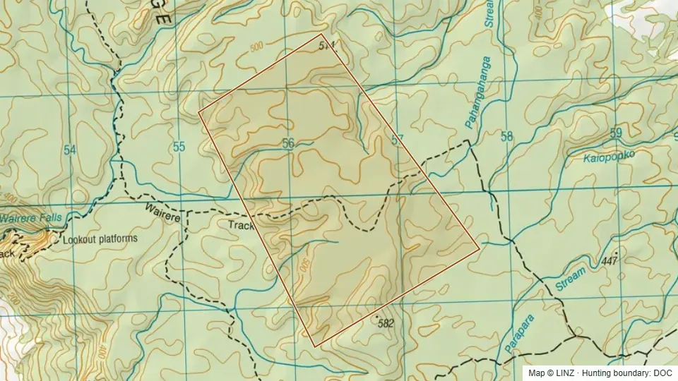 Conservation Area - Pahangahanga Stream372 ha
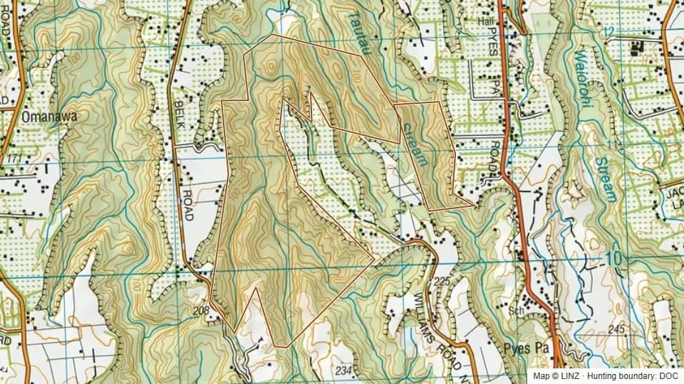 Conservation Area - Te Papa281 ha
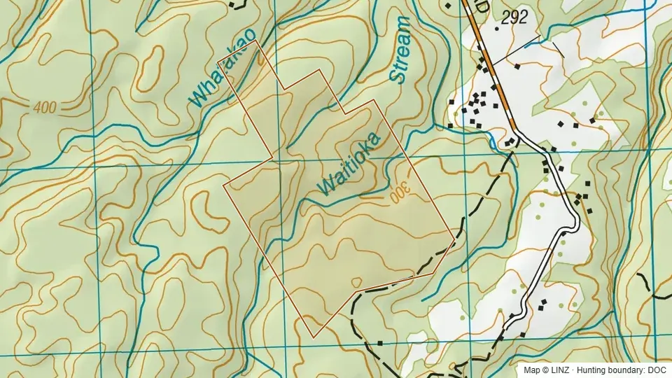 Conservation Area - Waitioka Stream106 ha
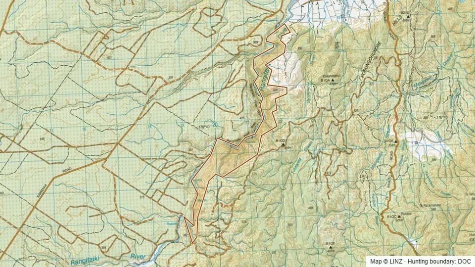 Conservation Area - Whirinaki348 ha
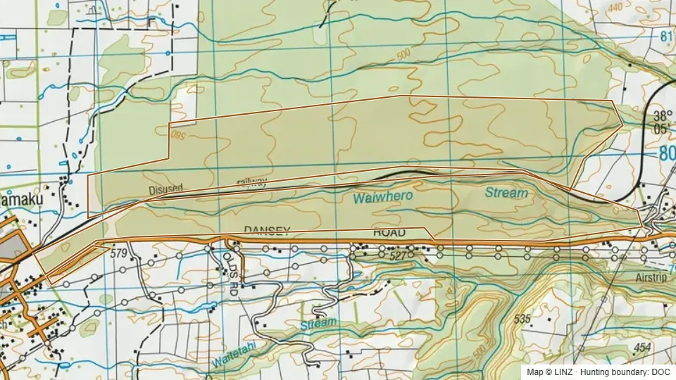 Dansey's Road Scenic Reserve469 ha
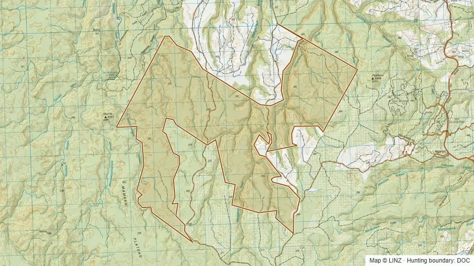 Gammons Block Conservation Area3,482 ha
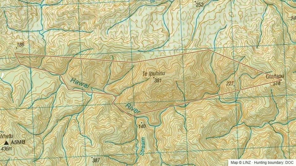 Hawai Scenic Reserve339 ha
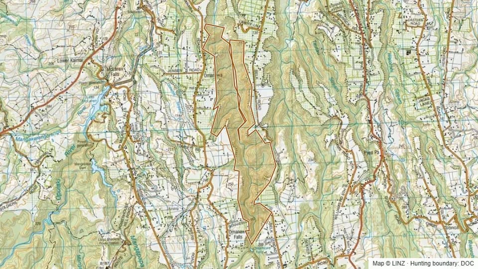 Hidden Gorge Scenic Reserve464 ha
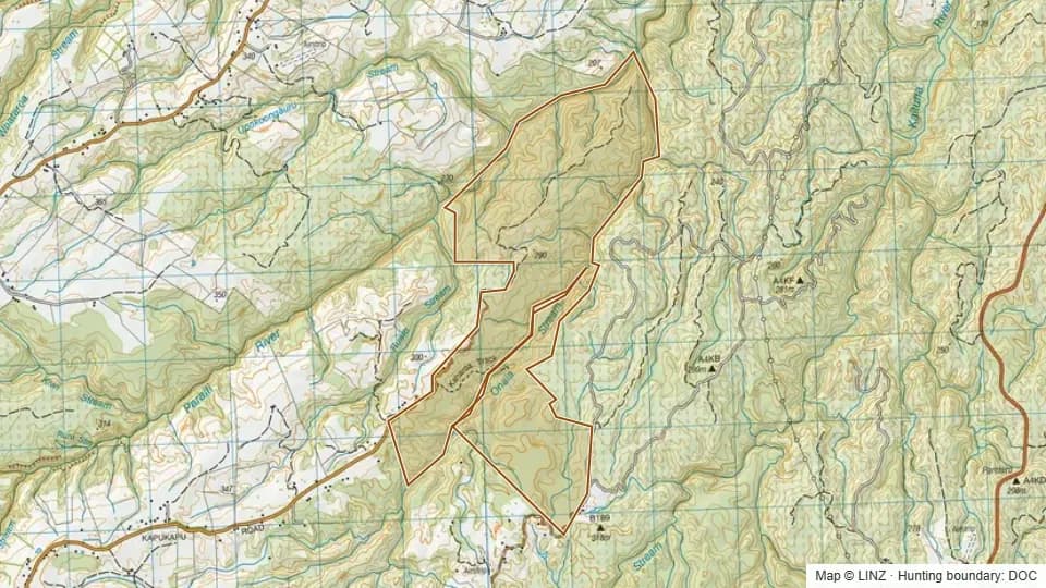 Kaharoa Forest766 ha
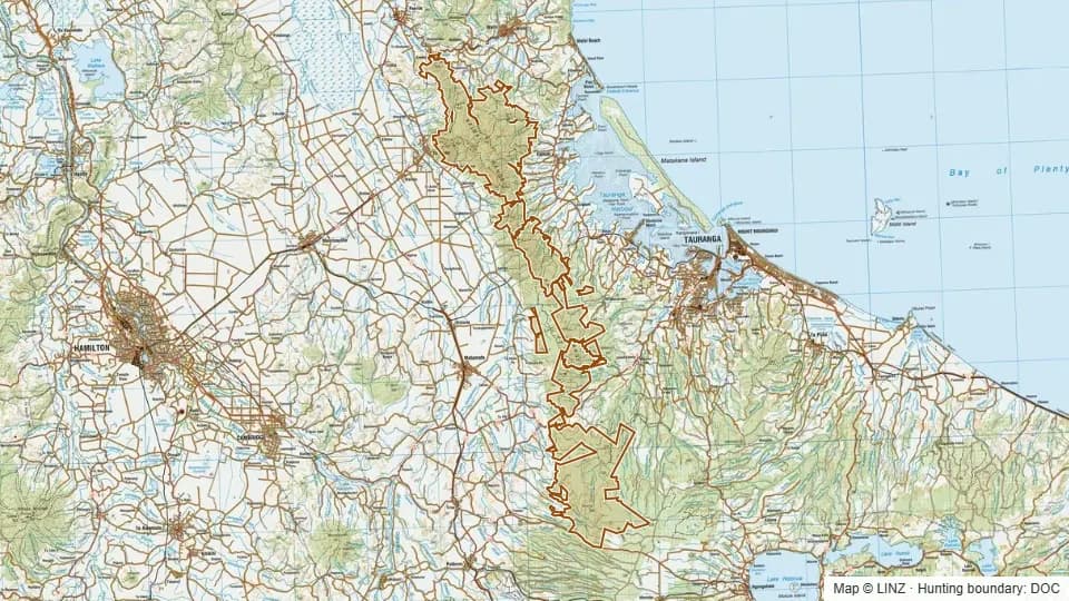 Kaimai Mamaku Conservation Park40,132 ha
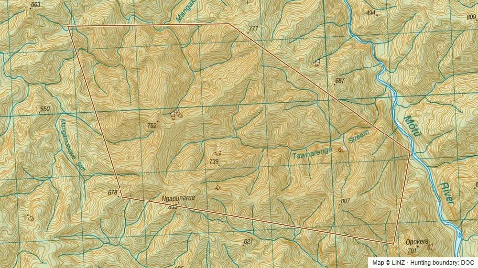 Kapuarangi Conservation Area1,220 ha
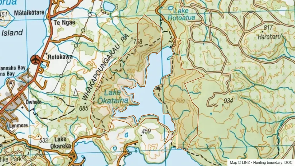 Lake Okataina Scenic Reserve4,003 ha
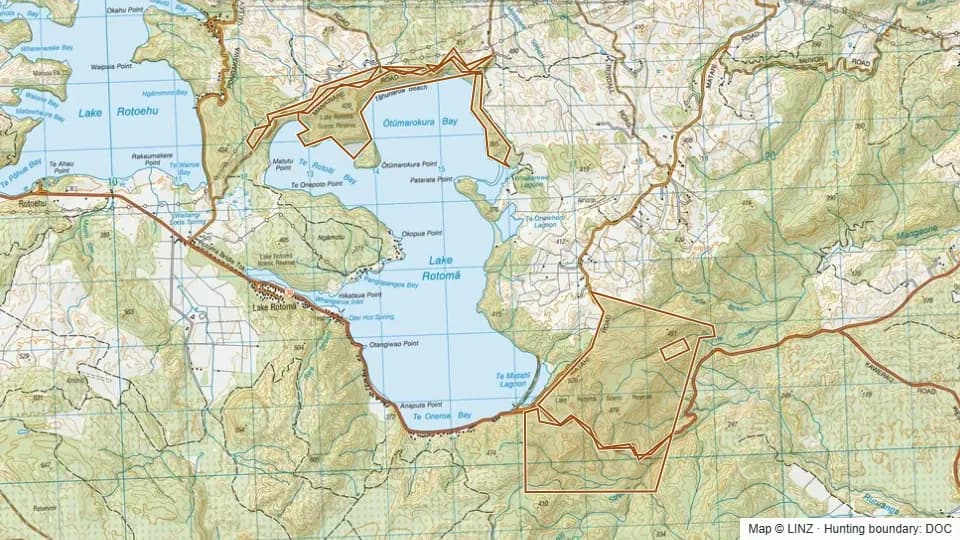 Lake Rotoma Scenic Reserve688 ha
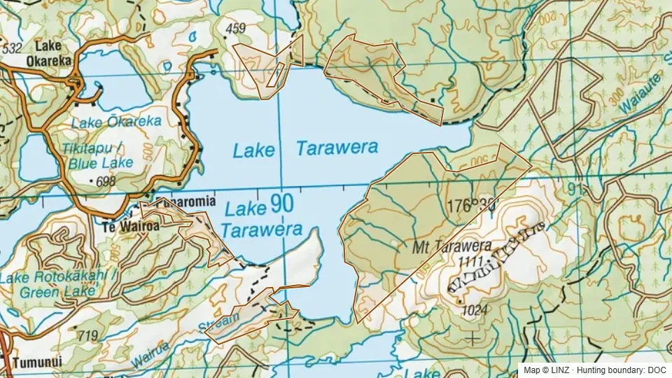 Lake Tarawera Scenic Reserve2,850 ha
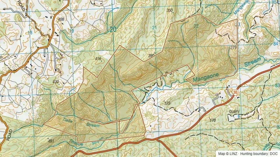 Mangaone Scenic Reserve579 ha
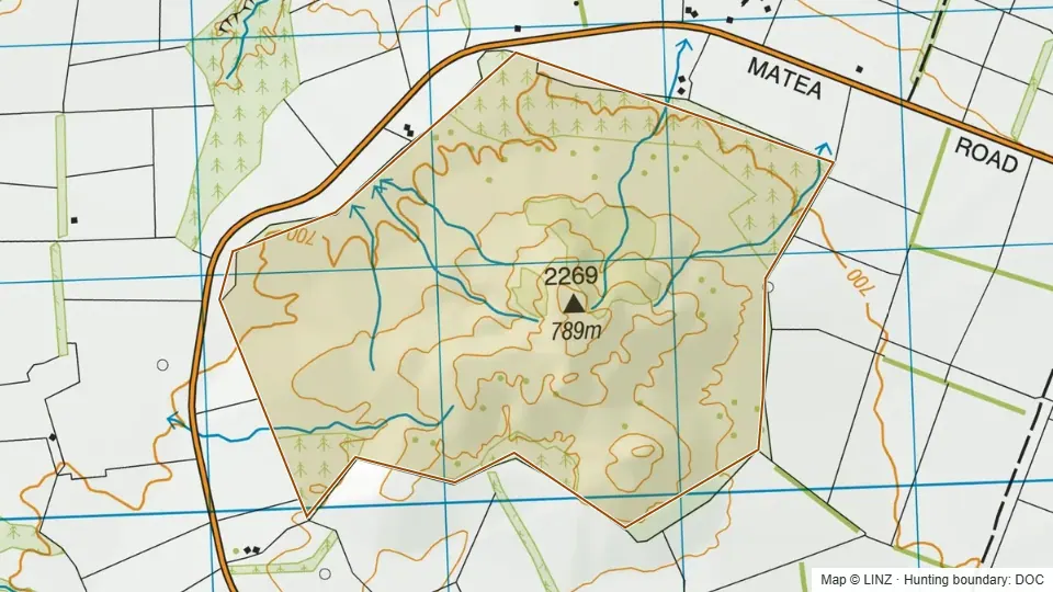 Matea Road Conservation Area341 ha
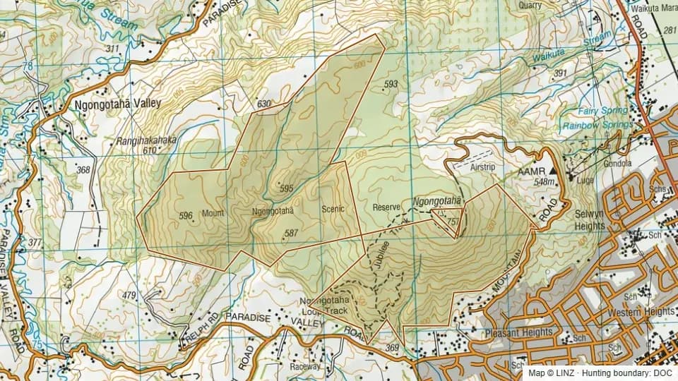 Mt Ngongotaha Scenic Reserve527 ha
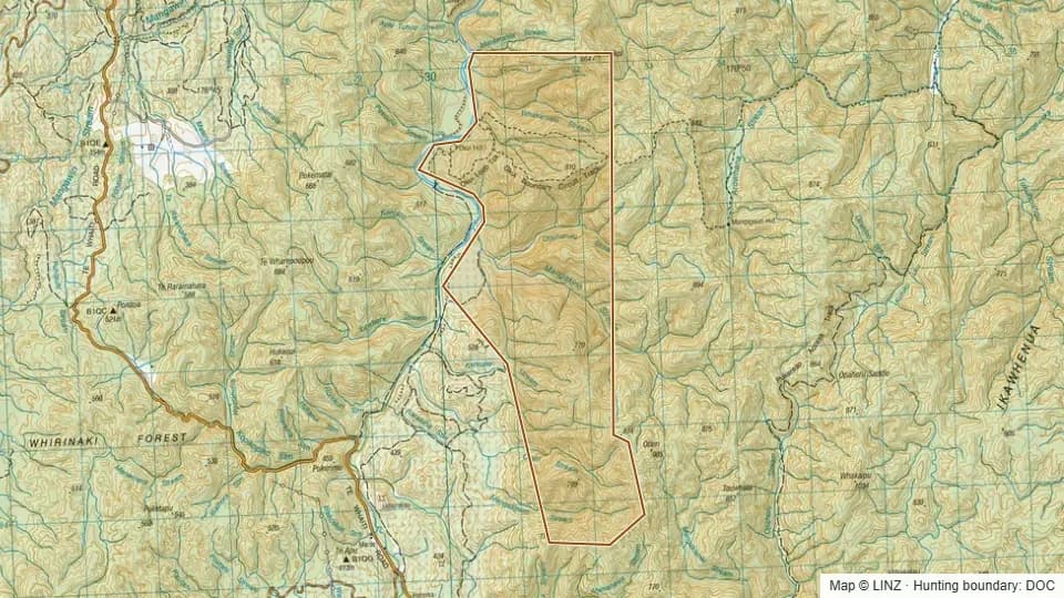 Okui Forest Conservation Area1,173 ha
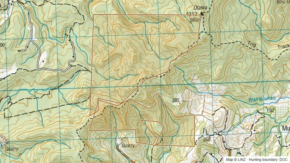 Oropi Forest392 ha
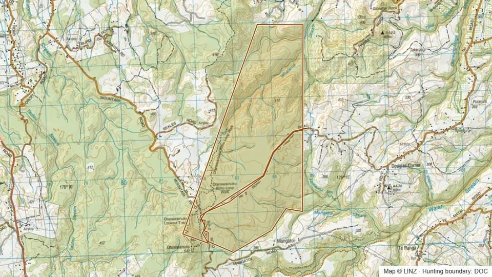 Otanewainuku Forest1,211 ha
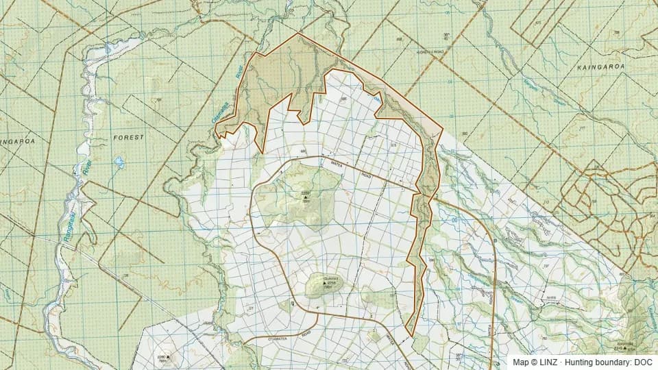 Otangimoana Conservation Area926 ha
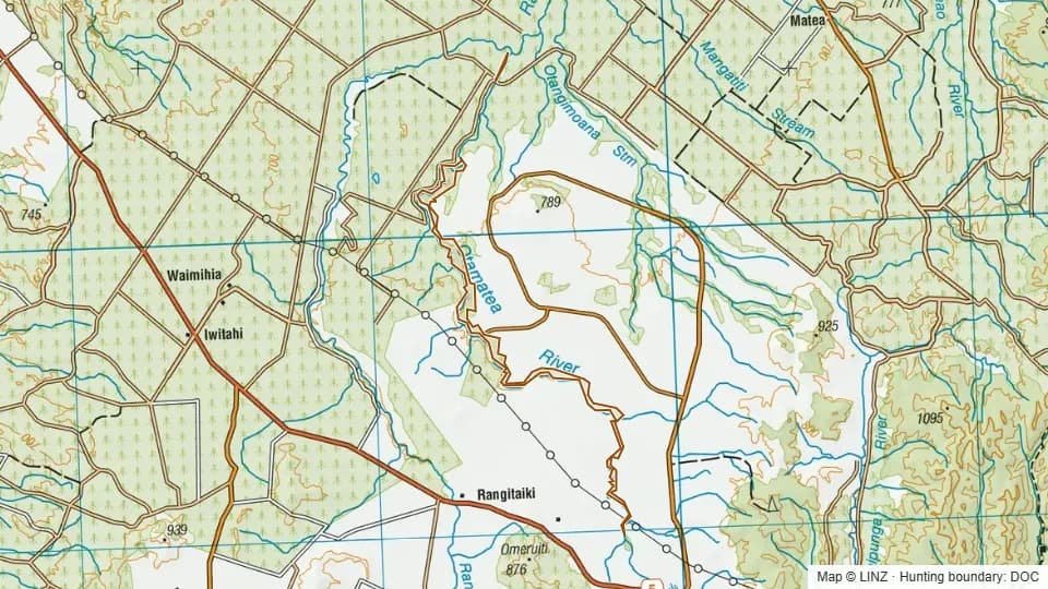 Otangimoana Marginal Strip353 ha
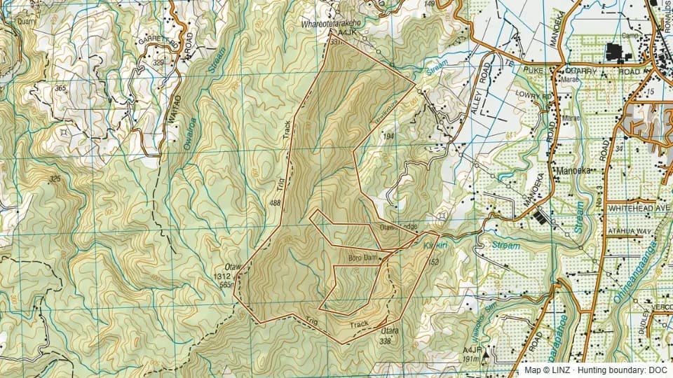 Otawa Scenic Reserve476 ha
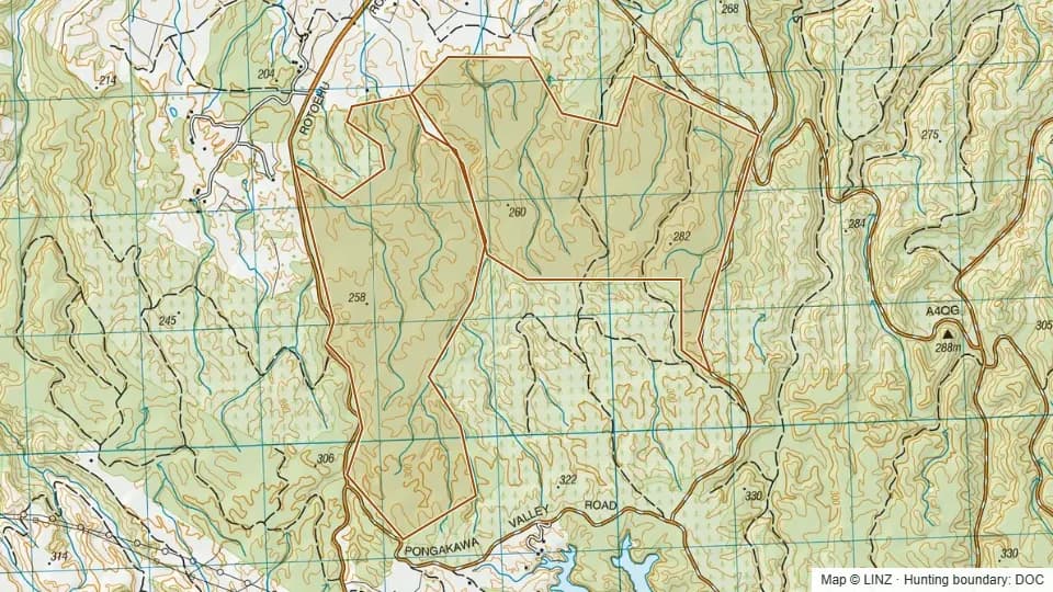 Pongakawa Ecological Area750 ha
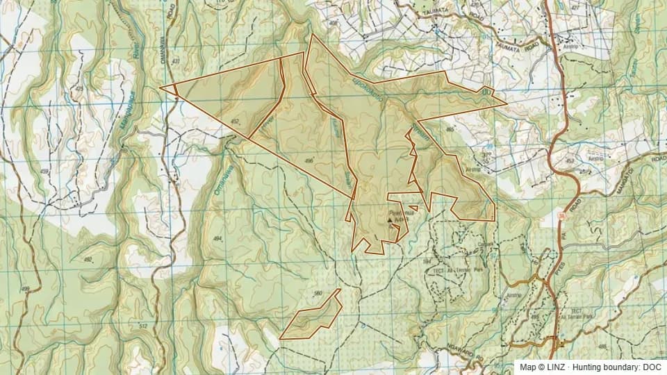 Puwhenua Forest1,069 ha
 Rangitaiki Conservation Area6,233 ha
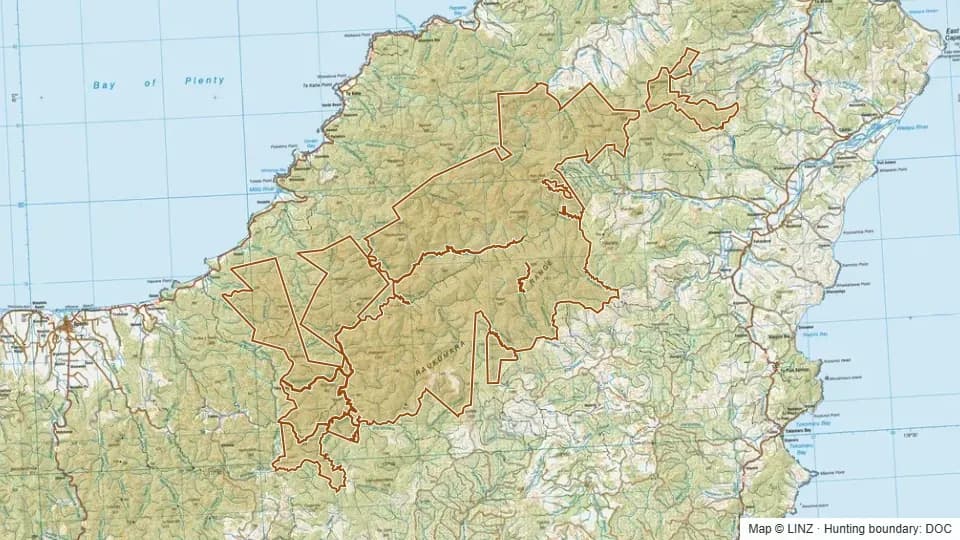 Raukumara Conservation Park110,949 ha
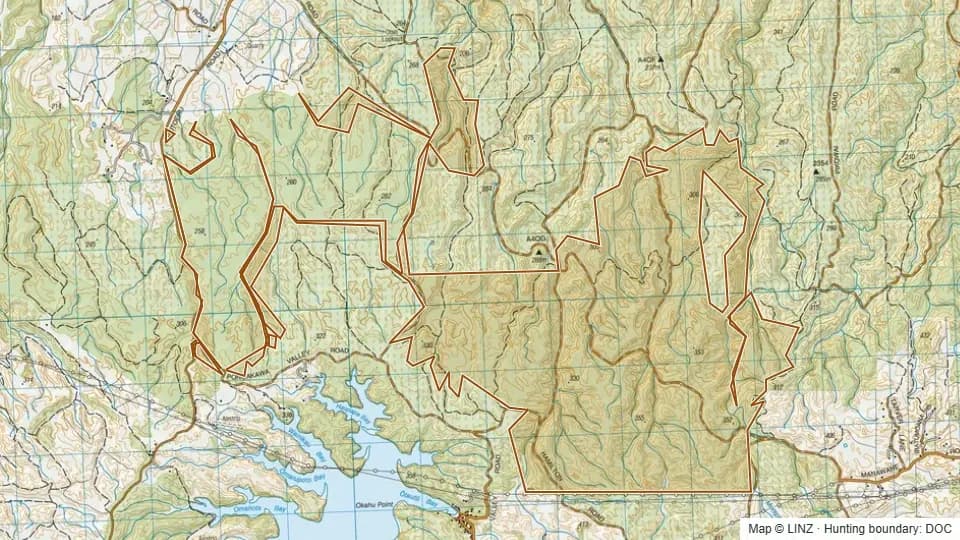 Rotoehu Forest1,988 ha
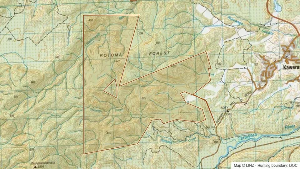 Rotoma Forest1,285 ha
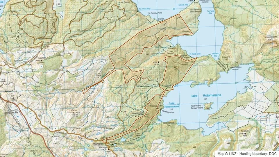 Rotomahana Conservation Area769 ha
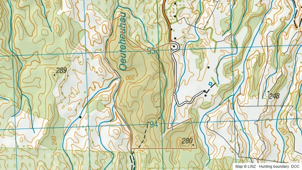 Roydon Downs Scenic Reserve129 ha
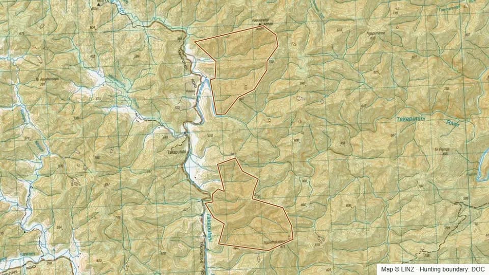 Takaputahi Conservation Area696 ha
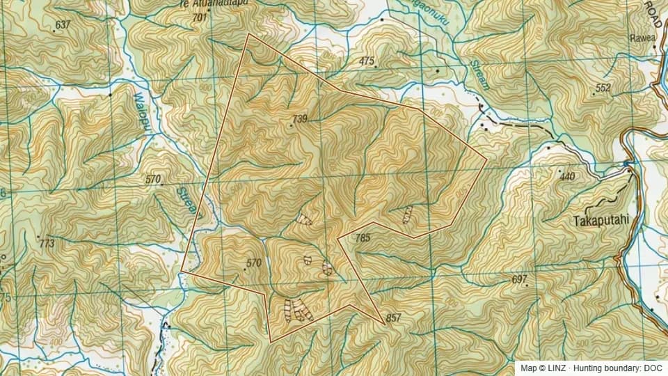 Takaputahi/whitikau Conservation Area449 ha
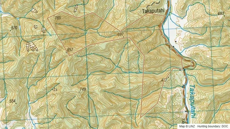 Te Atuahauta Scenic Reserve264 ha
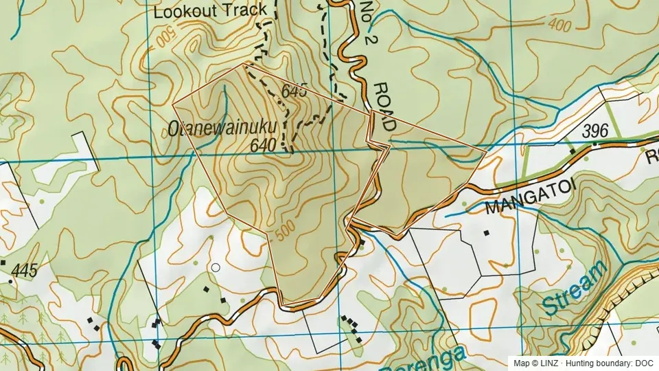 Te Matai Forest (contiguous with Otanewainuku Forest)113 ha
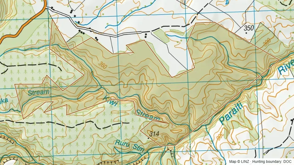 Te Matai Forest (southern parcels)320 ha
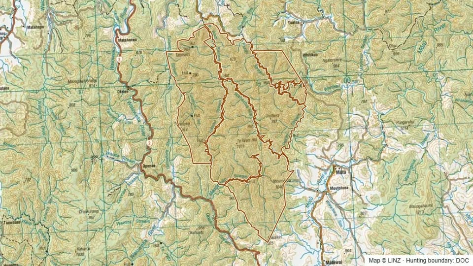 Urutawa Conservation Area21,974 ha
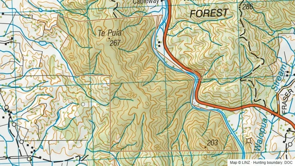 Waimana Gorge Scenic Reserve236 ha
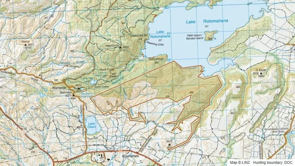 Waimangu Scenic Reserve594 ha
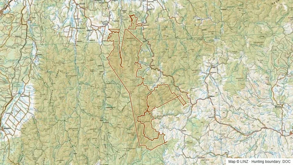 Waioeka Conservation Area38,221 ha
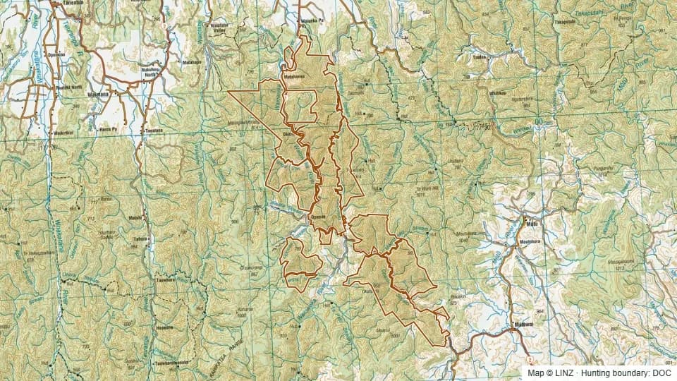 Waioeka Gorge Scenic Reserve18,490 ha
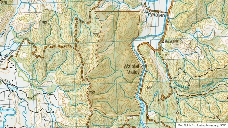 Waiotahi Scenic Reserve257 ha
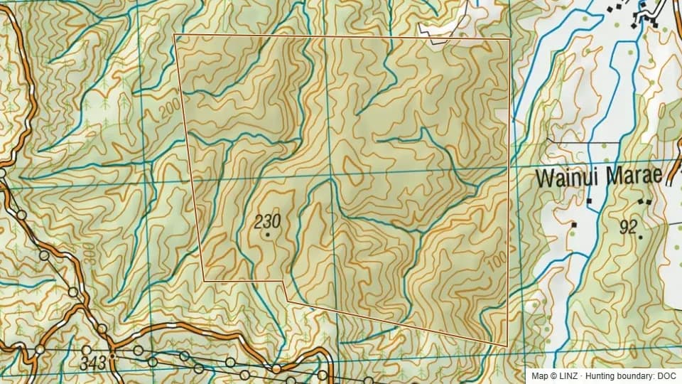 Waiotane Scenic Reserve255 ha
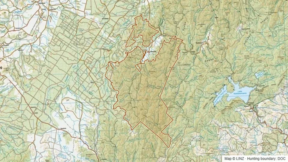 Whirinaki Conservation Park54,600 ha
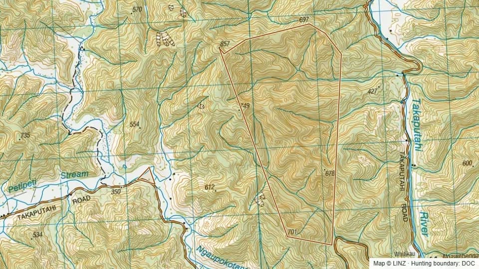 Whitikau Conservation Area405 ha
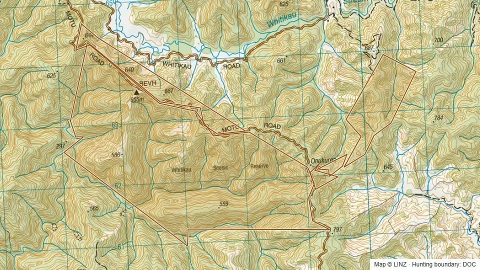 Whitikau Scenic Reserve869 ha