Hunting in West Coast
Overview
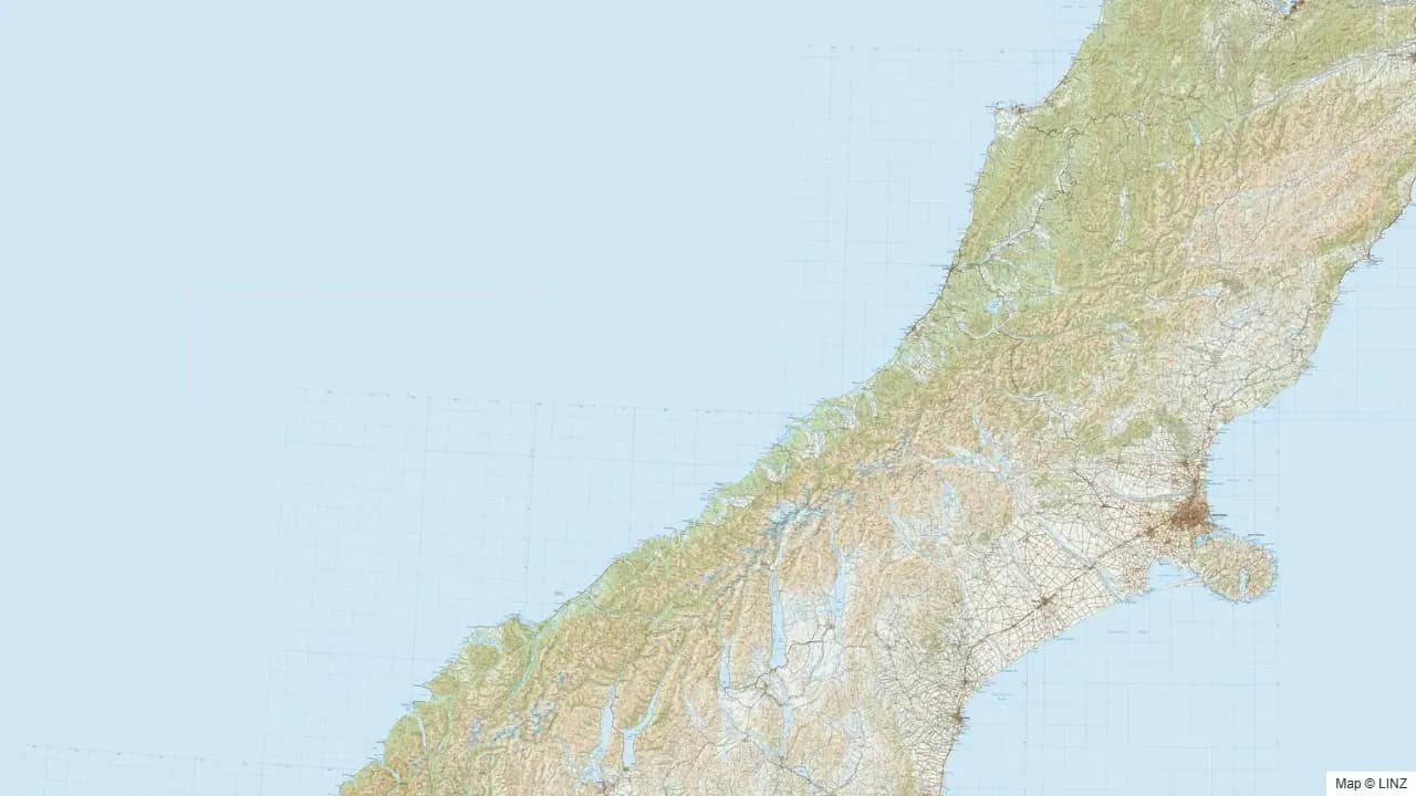
The West Coast is the wettest, wildest, and bush-deepest hunting region in New Zealand. The country runs from the Karamea coast in the north down through Greymouth, Hokitika, Franz Josef, Fox, and Haast to the Cascade and Pyke catchments at the southern end. The Southern Alps form the eastern wall; the Tasman Sea forms the western one. Between them sits a strip of beech-podocarp forest, glacier-fed rivers, and granite bluffs that holds extraordinary numbers of red deer and a slice of New Zealand's chamois and tahr range.
For many hunters, the West Coast is the apex meat-hunting destination — red deer densities are very high through most catchments, and most hunters who put time in here come out with venison. It is also one of the most physically punishing regions to hunt in: rivers cut across access, leatherwood and supplejack chokes the lower bush, and the weather is unforgiving. The reward is country that still feels genuinely wild.
What You Can Hunt
- Red deer — abundant the length of the Coast. Easily the strongest meat-hunting destination in NZ.
- Chamois — established on the alpine tops from roughly Hokitika south through Westland Tai Poutini National Park.
- Tahr — south end of the Coast, in the Whitcombe and Karangarua catchments and adjacent country.
- Fallow deer — limited pockets, mostly in the southern half.
- Wild pig — common through coastal scrub, river flats, and forestry margins.
- Wild goat — present through bush margins and broken country.
Where to Hunt
- Kahurangi (West Coast side) — Karamea, Mokihinui, and Karamea River headwaters. Red deer and pig.
- Paparoa National Park — limestone karst and beech bush between Westport and Greymouth. Red deer and pig.
- Westland Tai Poutini National Park — glacier country from south of Hokitika to the Haast. Red deer and chamois throughout; tahr in the southernmost catchments.
- Whitcombe, Hokitika, and Wanganui catchments — classic West Coast valleys with red deer in the bush and chamois on the tops.
- Karangarua, Copland, and Landsborough catchments — south Westland; tahr appear here at the south end of the recognised feral range.
- Cascade and Pyke — extreme southern West Coast, demanding access; red deer, chamois, and the very southern fringe of the tahr range.
Getting In
- Road — State Highway 6 runs the length of the Coast. Forestry and DOC roads spur east into most major river systems but stop at the bush edge.
- Foot — every catchment requires foot work from the road end. River crossings are unavoidable in many valleys; flood waiting is part of the trip.
- Air — helicopter access is widely used for West Coast hunting, particularly into the more remote tahr and chamois country in south Westland. Fixed-wing strips are rare on the Coast.
- Water — jet-boat access into some lower rivers (notably the Karangarua, Haast, and Cascade), tide- and flow-dependent.
Seasons & Weather
The West Coast receives some of the heaviest rainfall in the country — 5 to 9 metres a year in places near the divide. Trips need to be planned around weather windows and a few days of buffer for river floods. Snow on the tops is a year-round possibility above 1500 metres.
| Period | What's happening | Notes |
|---|---|---|
| Mar–Apr | Red roar | Excellent through every major catchment. |
| May–Jul | Tahr and chamois rut | South Westland; tahr peaks late May to mid July. |
| Jun–Aug | Winter | Heavy snow on the tops, deer dropping into bush. Strong meat hunting. |
| Sep–Nov | Spring | Velvet stags appearing; weather still demanding. |
| Dec–Feb | Summer | Long days, tops accessible, sandflies dense at low altitude. |
Gear & Conditions
The West Coast eats gear. Waterproofs that work in 12 hours of rain, gaiters, river-crossing footwear, and a rifle that handles being wet. A medium calibre in 6.5mm through .30 covers all deer and chamois; serious tahr hunters often run heavier. Sandflies are extreme in the lower valleys — head net, repellent, and a long-sleeve top help. Multi-day trips need to budget for being weather-bound; bring a couple of extra days' food.
Permits & Regulations
A free DOC permit covers public conservation land throughout the region. Tahr hunting on conservation land is permitted but takes place within the framework of DOC's active aerial-control programme — hunters should check current control status for any catchment before flying in. Helicopter access is permitted but subject to current concessions and DOC operational rules. Pig dog hunting is allowed subject to dog-control conditions and current 1080 operations. Many catchments fall under 1080 operations from time to time — always check the DOC pesticide summary before travel.
Open the Map
Open the West Coast in the full hunting map →
National parks, forest parks, hunting blocks, tracks, huts, and current pesticide operations the length of the Coast.
Useful Links
Game animals in West Coast
Hunting areas in West Coast
97 DOC hunting blocks — species, huts, access and an interactive map for each.
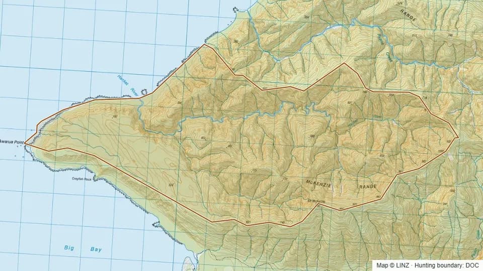 02 - Hackett River4,445 ha
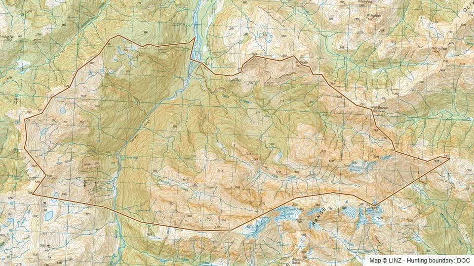 06 - Falls Creek7,005 ha
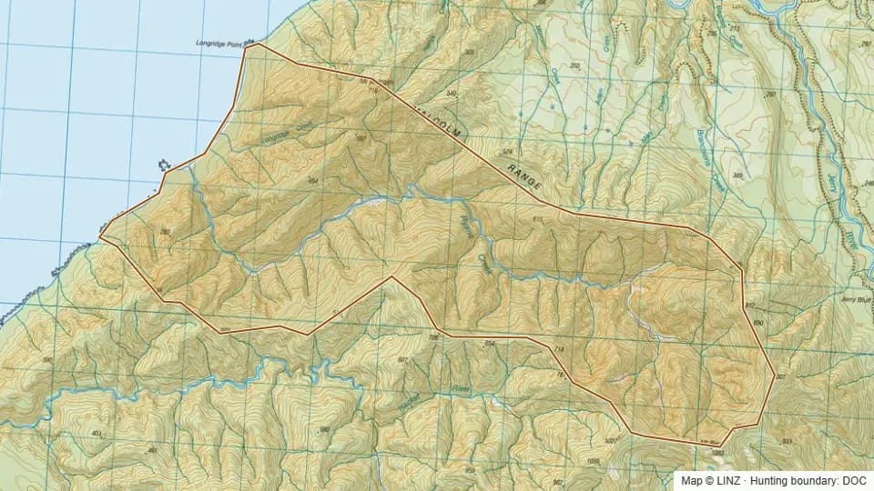 08 - Ryans Creek2,898 ha
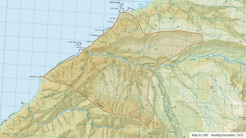 09 - Gorge River3,918 ha
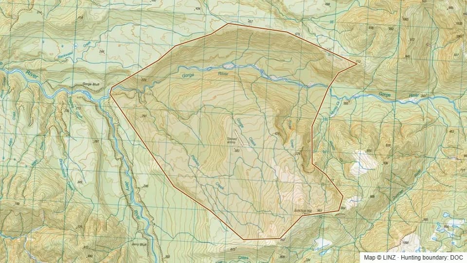 10 - Plateau Creek3,123 ha
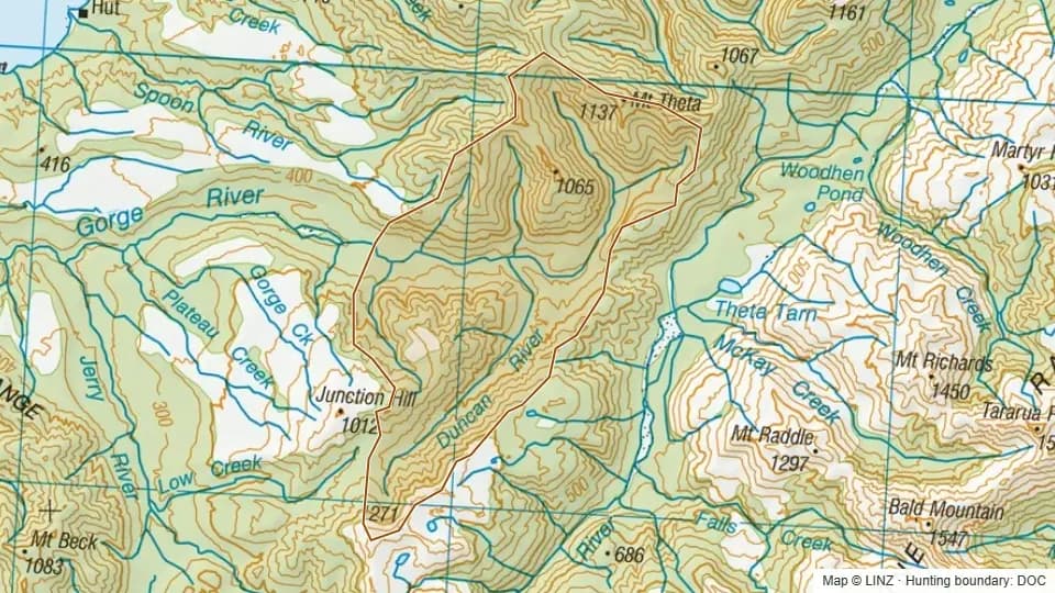 11 - Duncan River4,215 ha
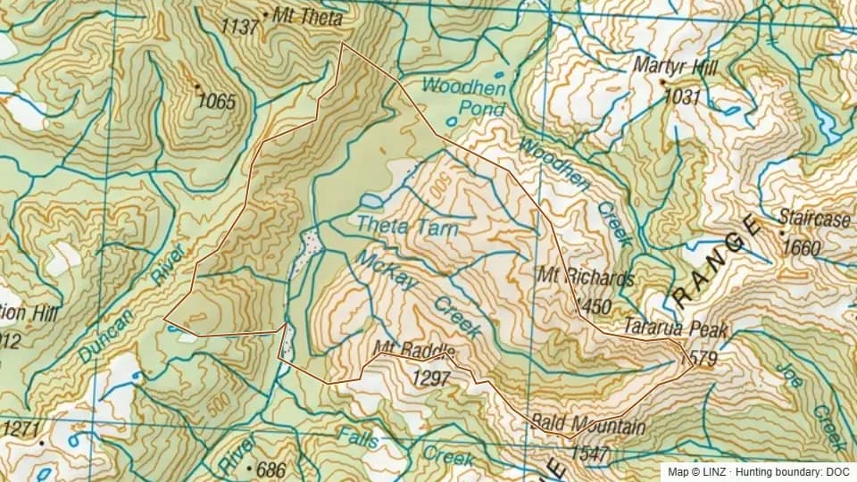 12 - McKay Creek4,882 ha
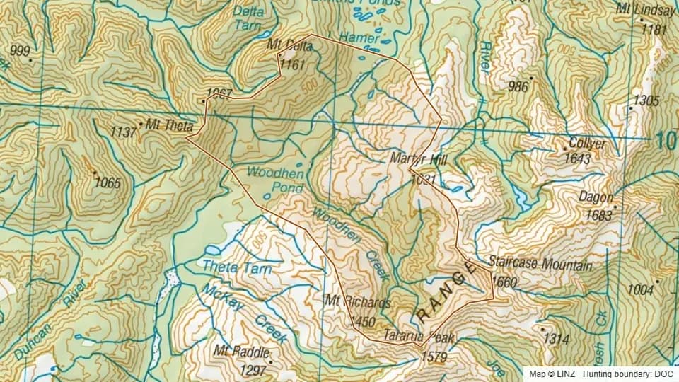 13 - Woodhen Creek5,584 ha
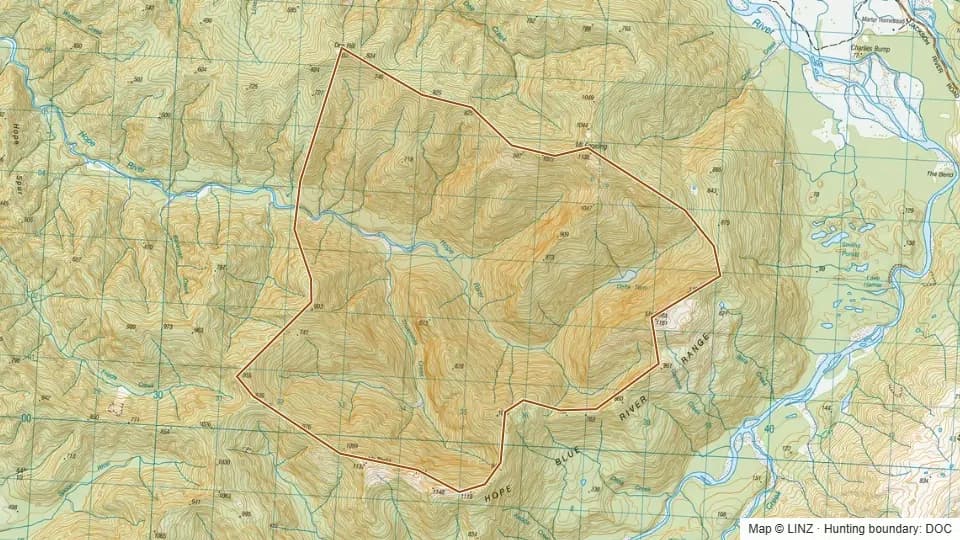 14 - Delta Tarn3,195 ha
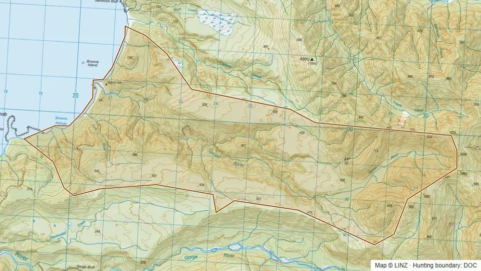 15 - Spoon River3,281 ha
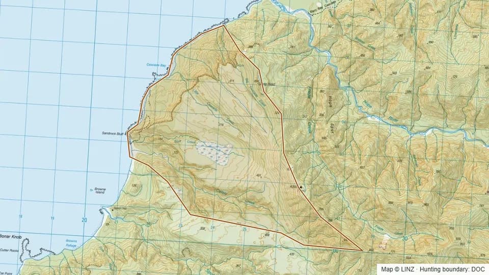 16 - Callery River2,332 ha
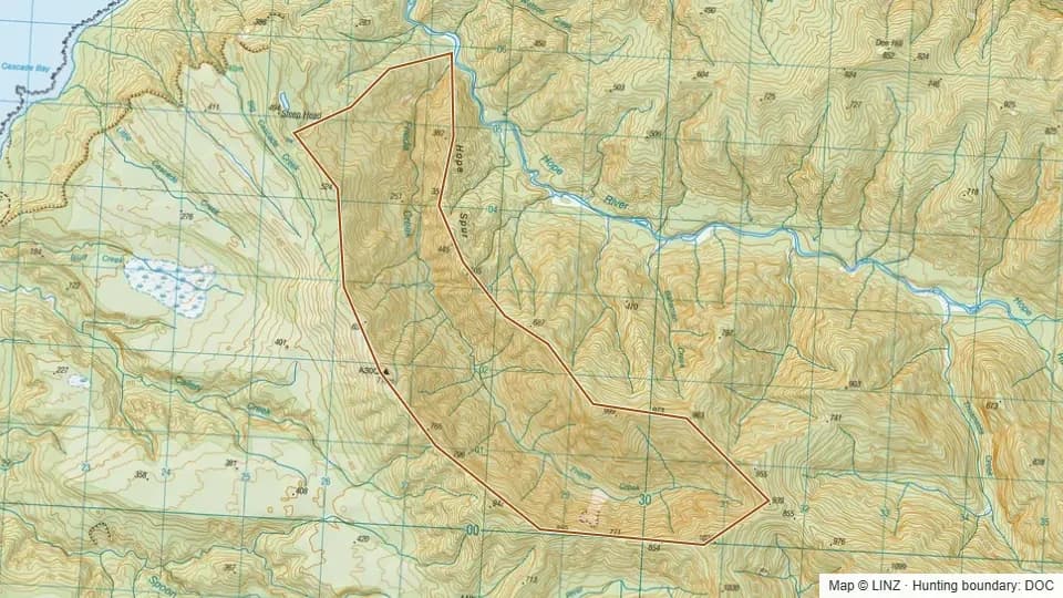 17 - Frieda Creek1,231 ha
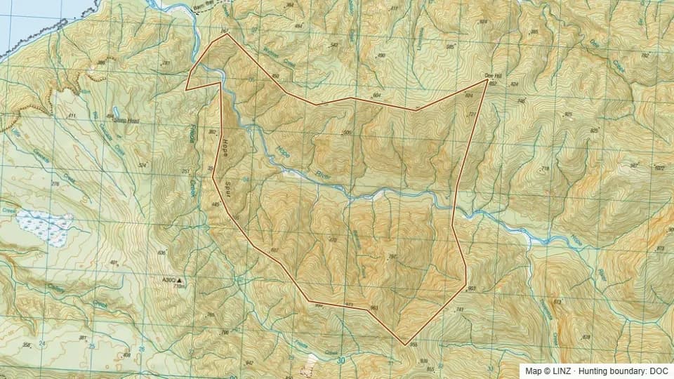 18 - Hope River2,006 ha
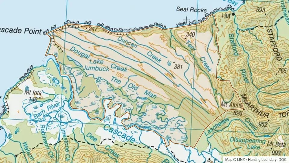 19 - Teer Creek9,246 ha
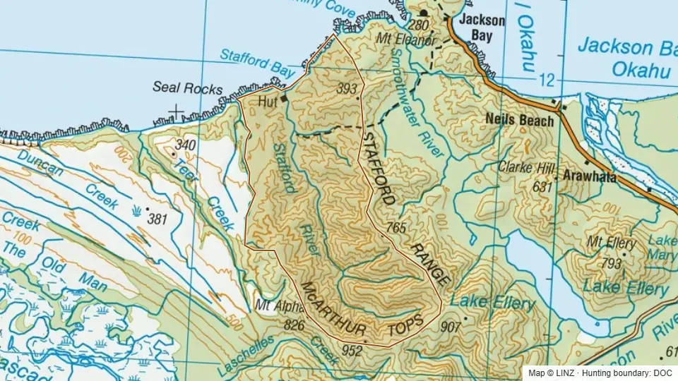 20 - Stafford3,676 ha
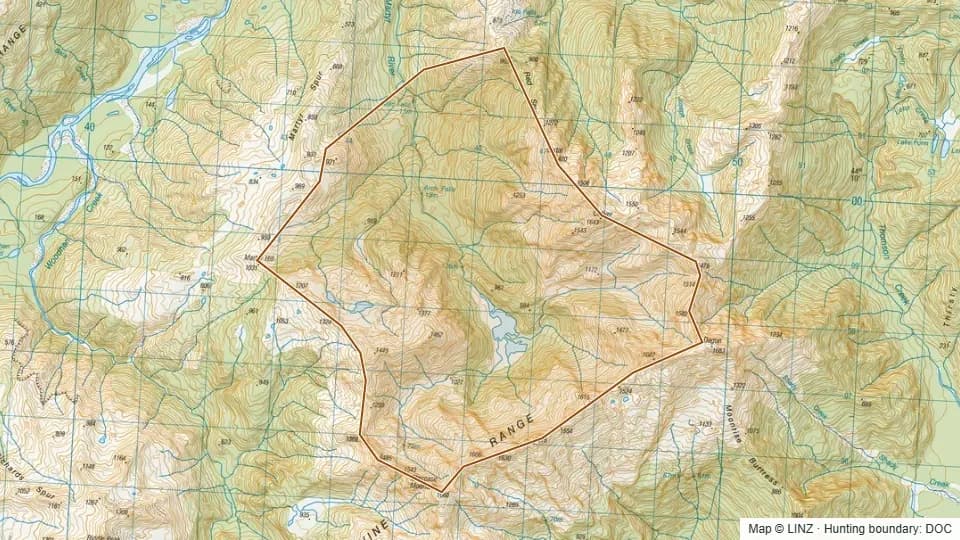 21 - Martyr2,541 ha
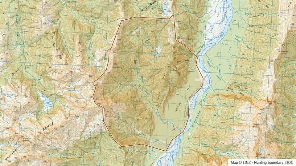 22 - Thompson Creek3,815 ha
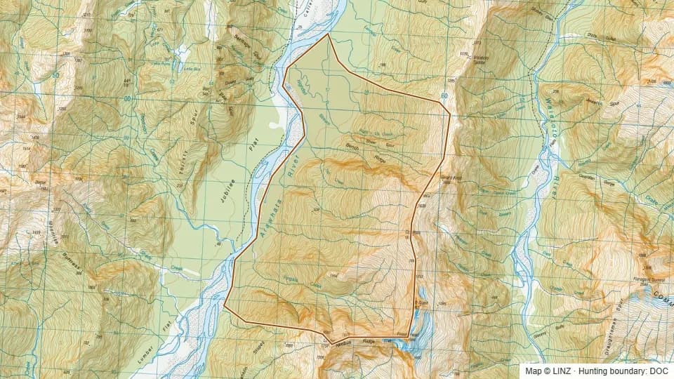 23 - Nightfall Stream2,726 ha
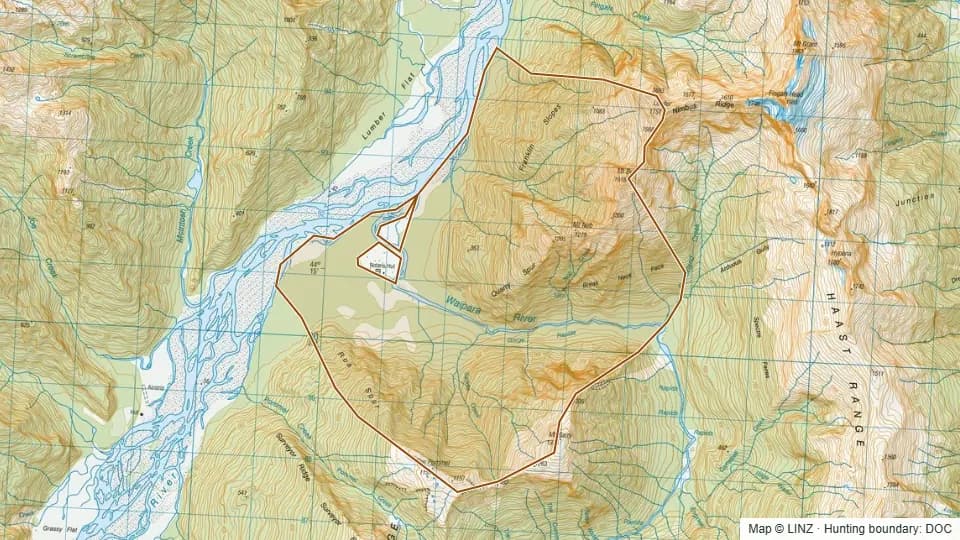 24 - Lower Waipara2,688 ha
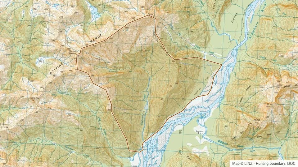 25 - McIntosh Creek3,108 ha
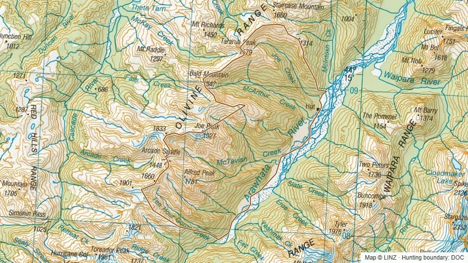 26 - McArthur Creek9,122 ha
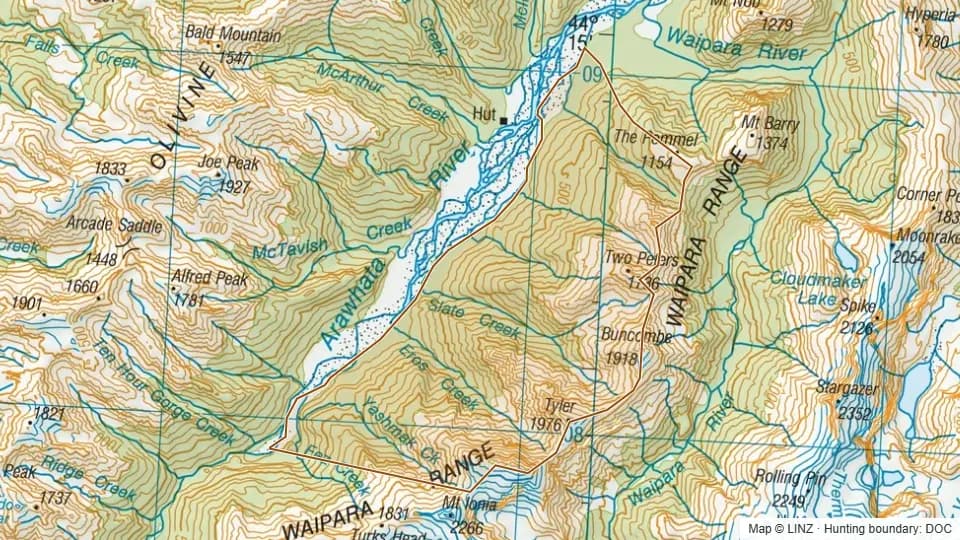 27 - Snowden Creek6,418 ha
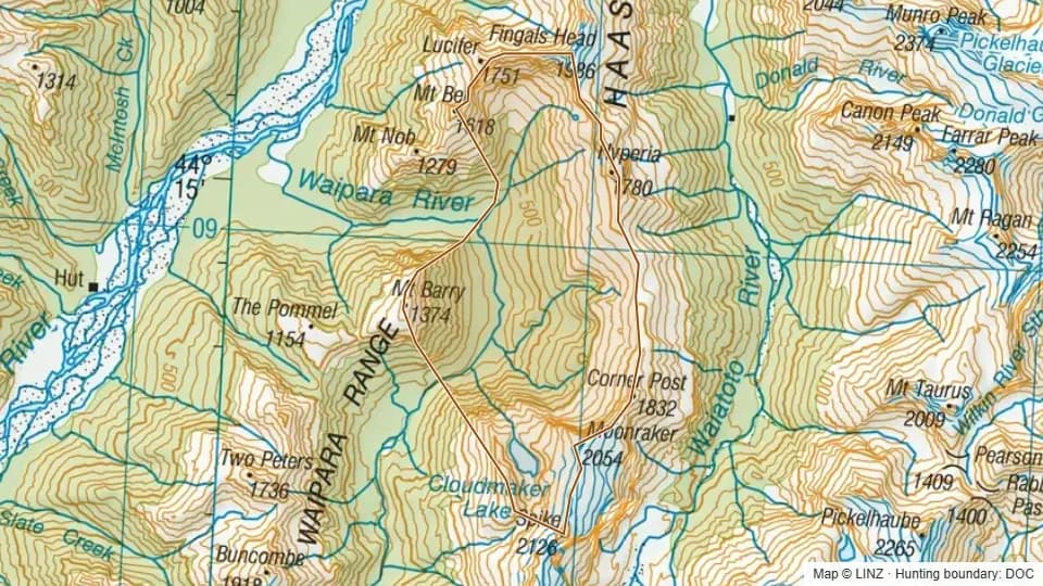 32 - Haphazard Spur, Waipara3,352 ha
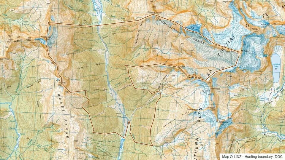 34 - Donald River4,016 ha
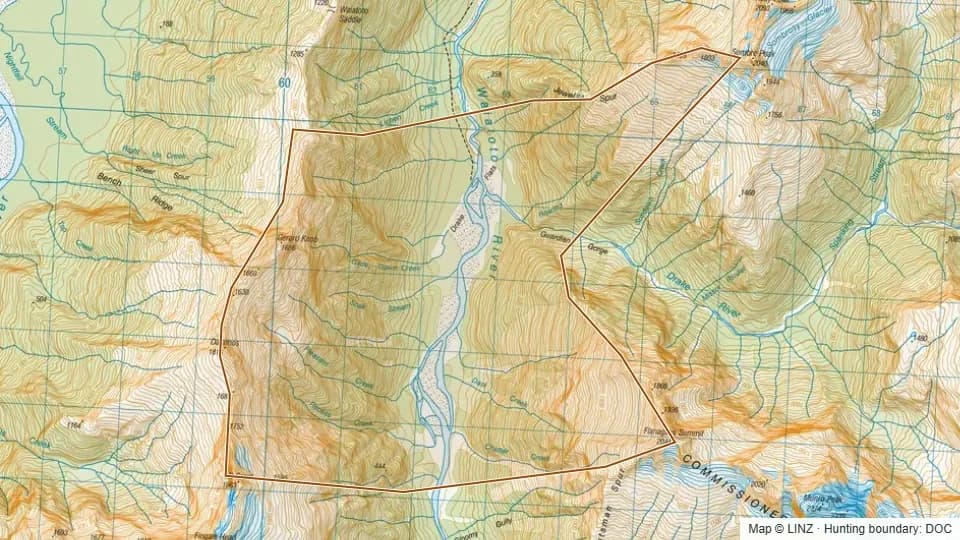 35 - Drake Flats Waiatoto2,541 ha
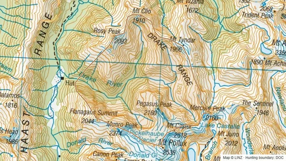 36 - Drake River Waiatoto5,374 ha
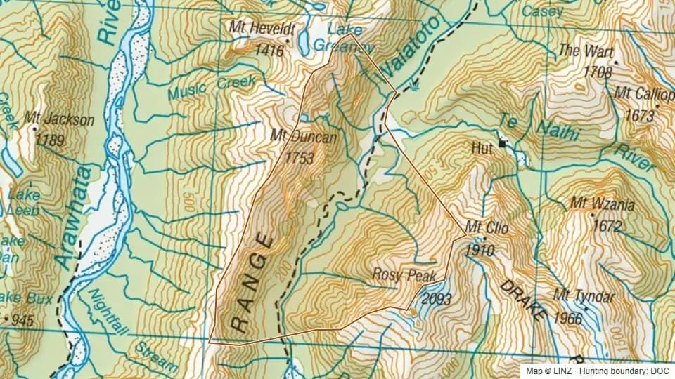 37 - Charlies Ponds Waiatoto3,947 ha
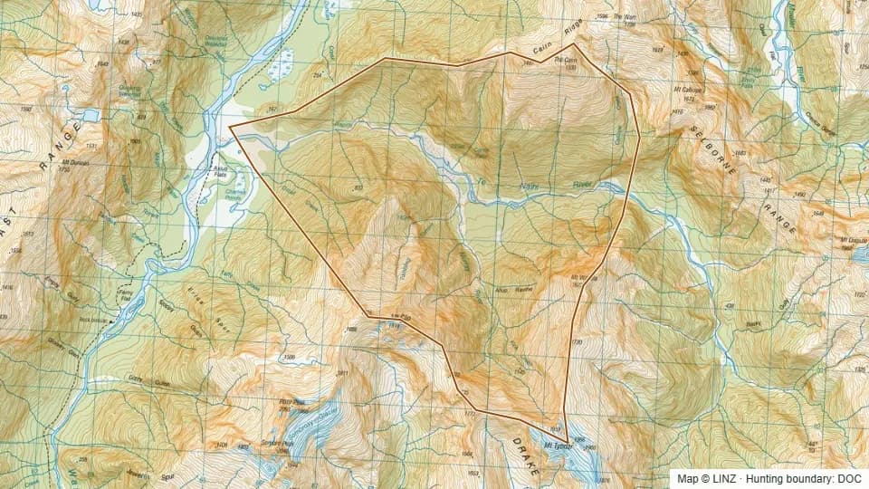 38 - Lower Te Naihi River2,955 ha
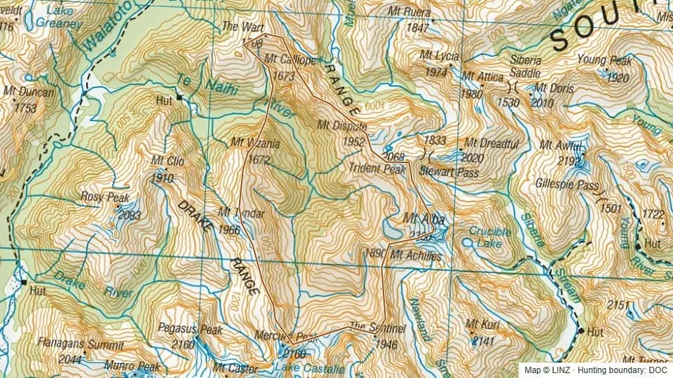 39 - Upper Te Naihi River5,343 ha
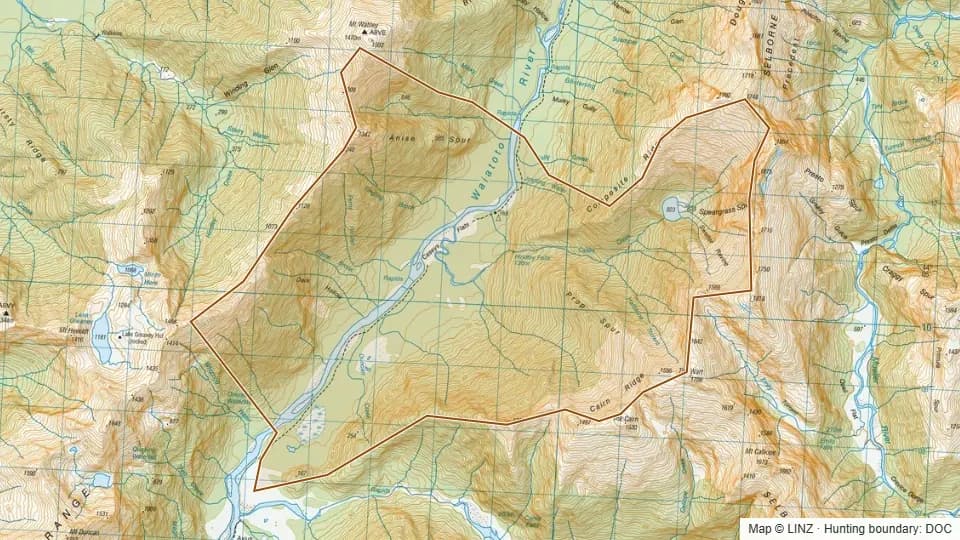 40 - Casey Creek3,624 ha
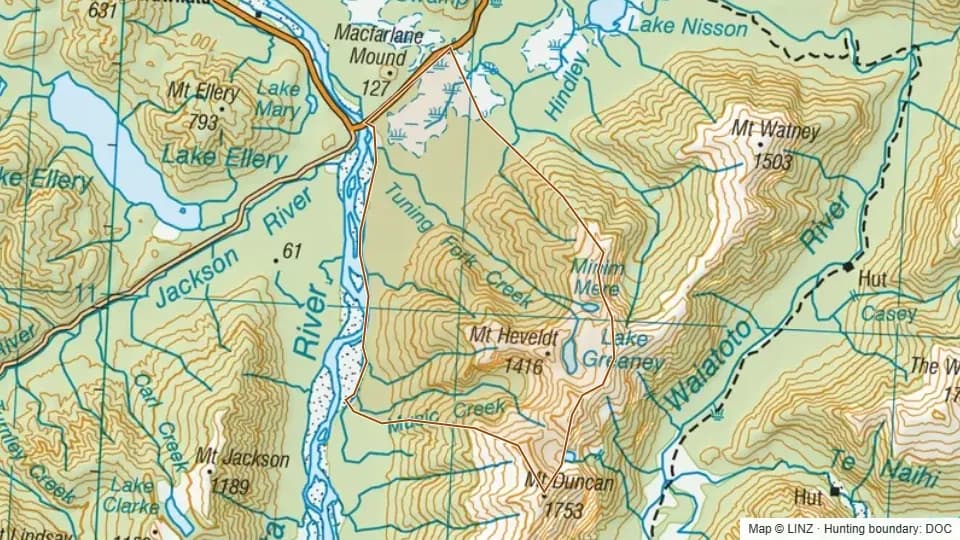 40A - Tuning Fork3,696 ha
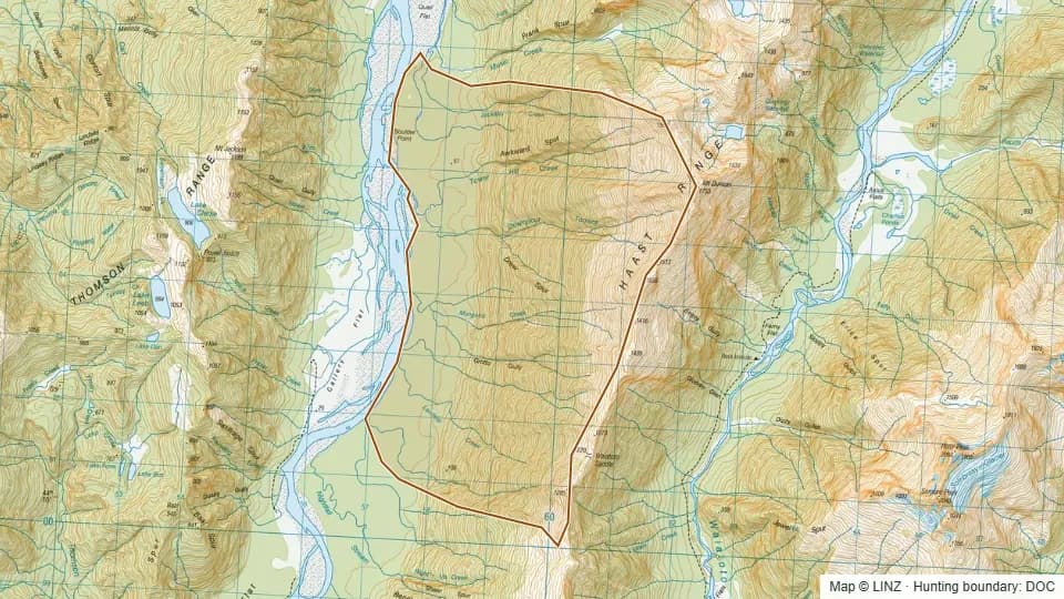 40B - Drew Spur, Arawhata2,655 ha
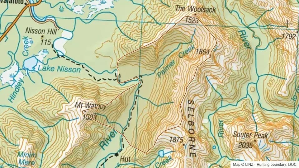 41 - Palmer Creek3,337 ha
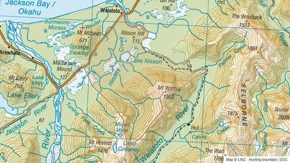 41A - Hindley Creek4,915 ha
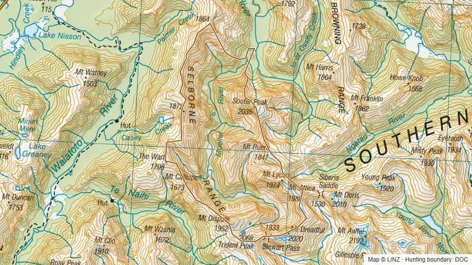 42 - Mueller River6,500 ha
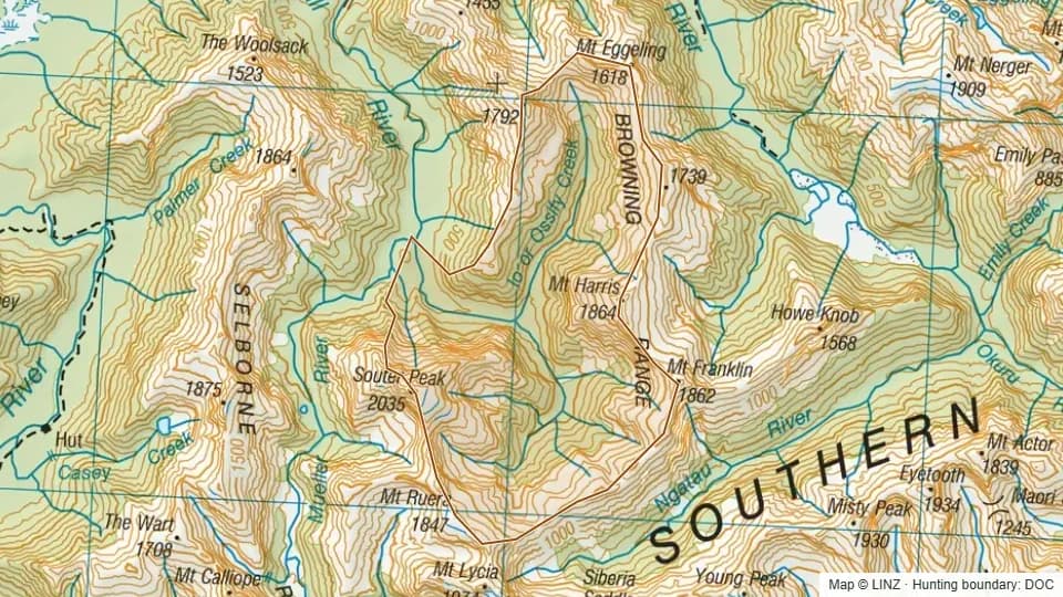 43 - Upper Turnbull4,979 ha
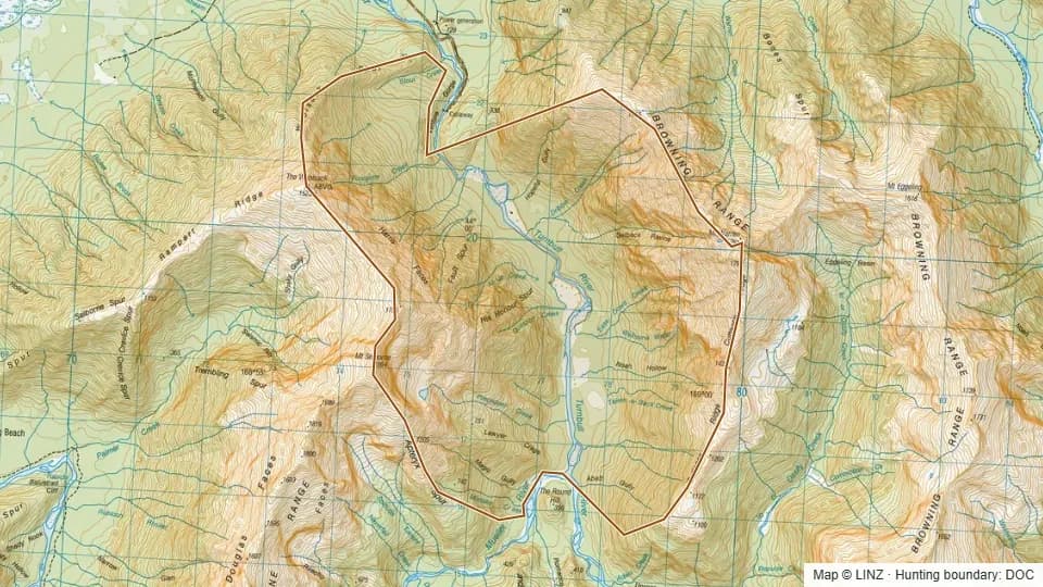 44 - Lower Turnbull3,033 ha
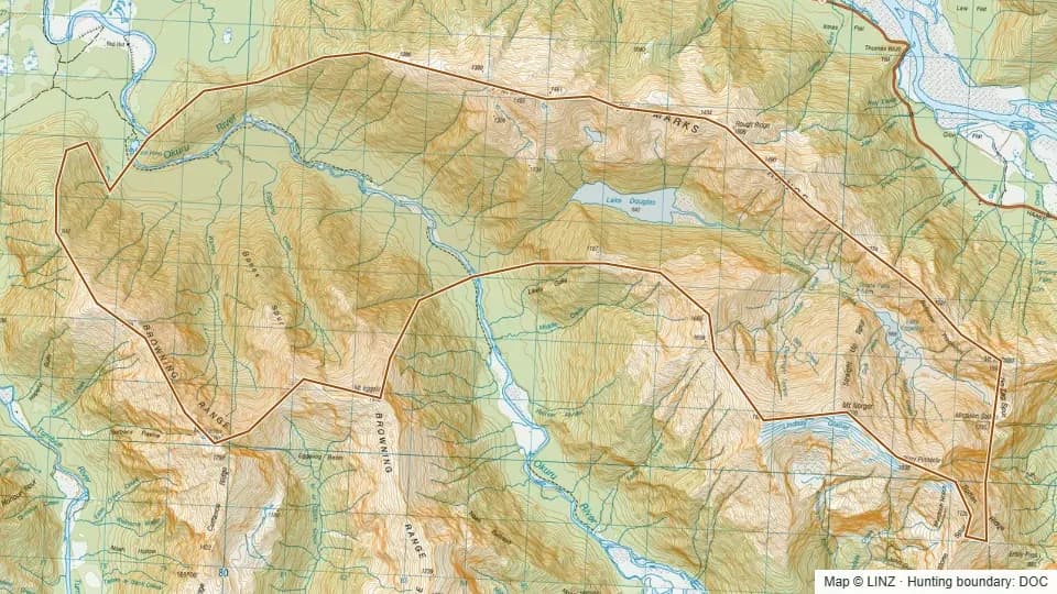 45A - Lower Okuru5,686 ha
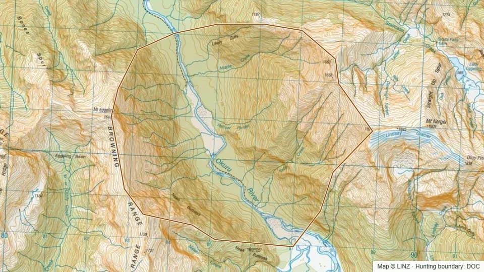 45B - Middle Creek, Okuru2,555 ha
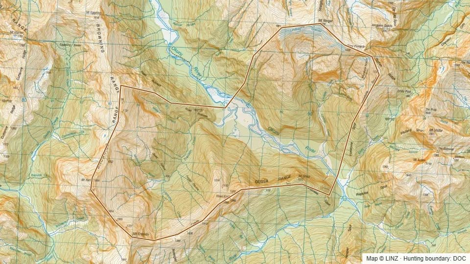 46 - Upper Okuru4,133 ha
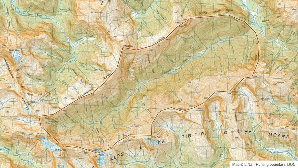 47 - Ngatau River4,551 ha
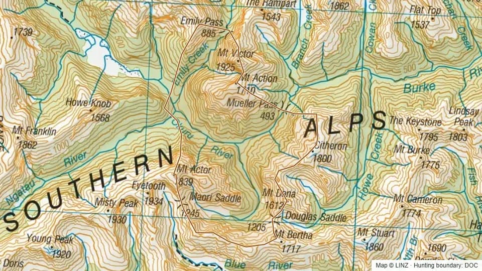 48 - Okuru (Head)4,352 ha
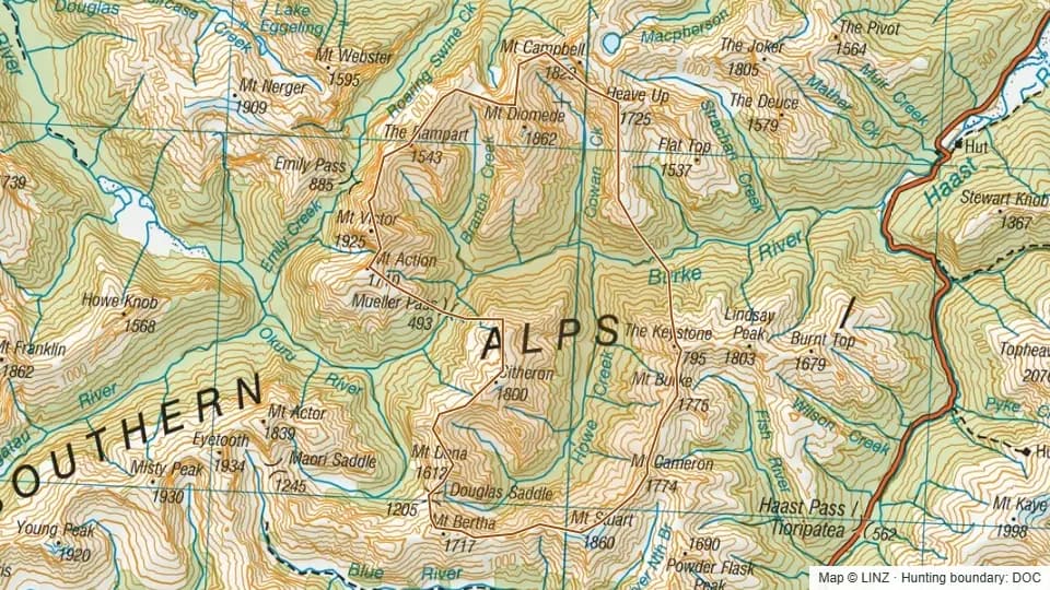 49 - Upper Burke7,547 ha
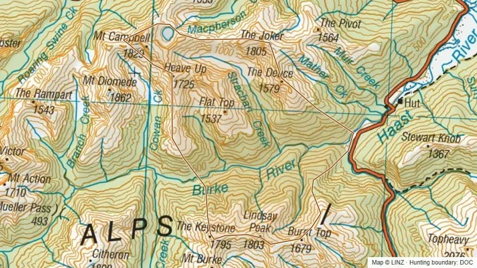 50 - Lower Burke4,659 ha
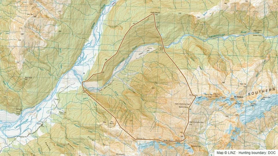 52 - McLennan Creek, Landsborough3,638 ha
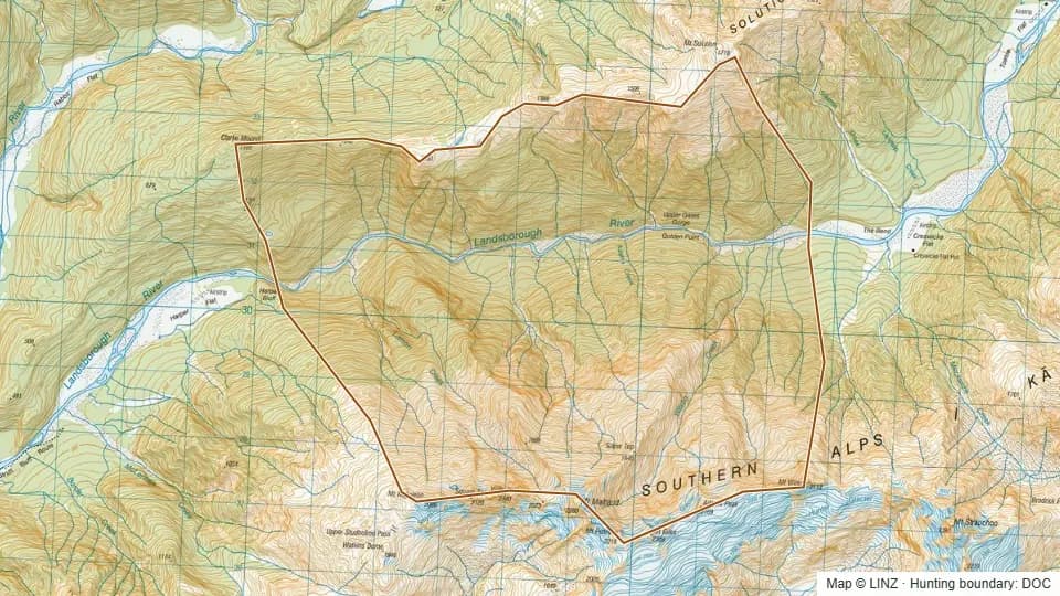 53 - Upper Gates Gorge, Landsborough4,656 ha
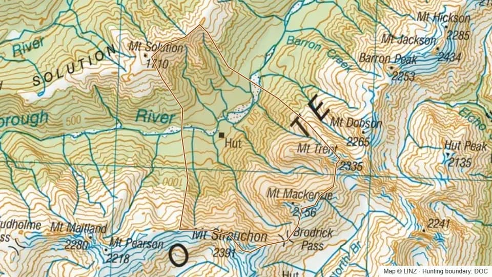 54 - Creswicke Flat, Landsborough3,514 ha
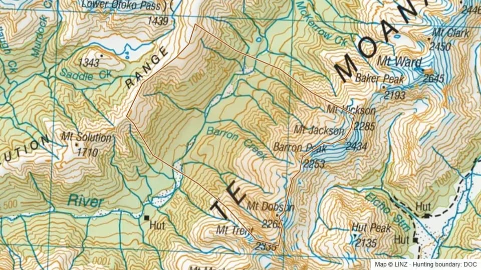 55 - Toetoe Flat, Landsborough4,479 ha
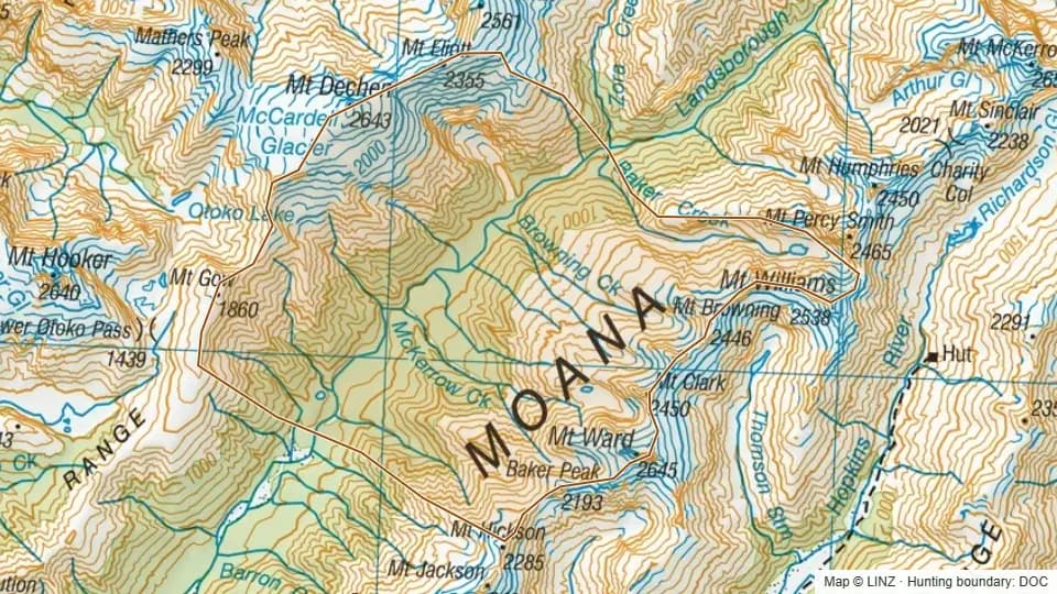 56 - McKerrow Creek, Landsborough8,122 ha
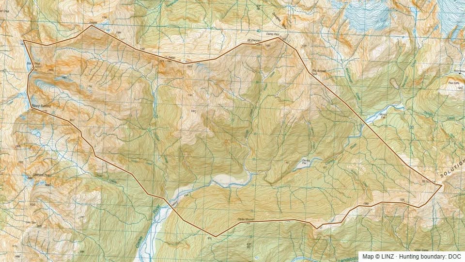 59 - Middle Clarke River7,483 ha
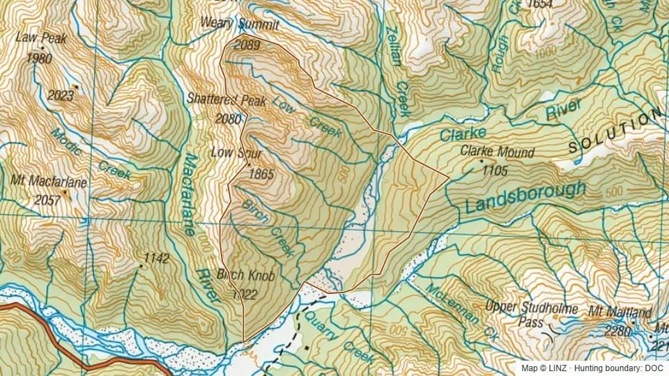 60 - Lower Clarke River4,642 ha
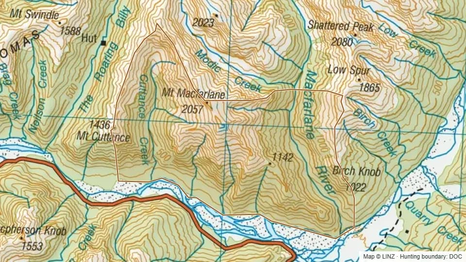 61 - Lower McFarlane5,120 ha
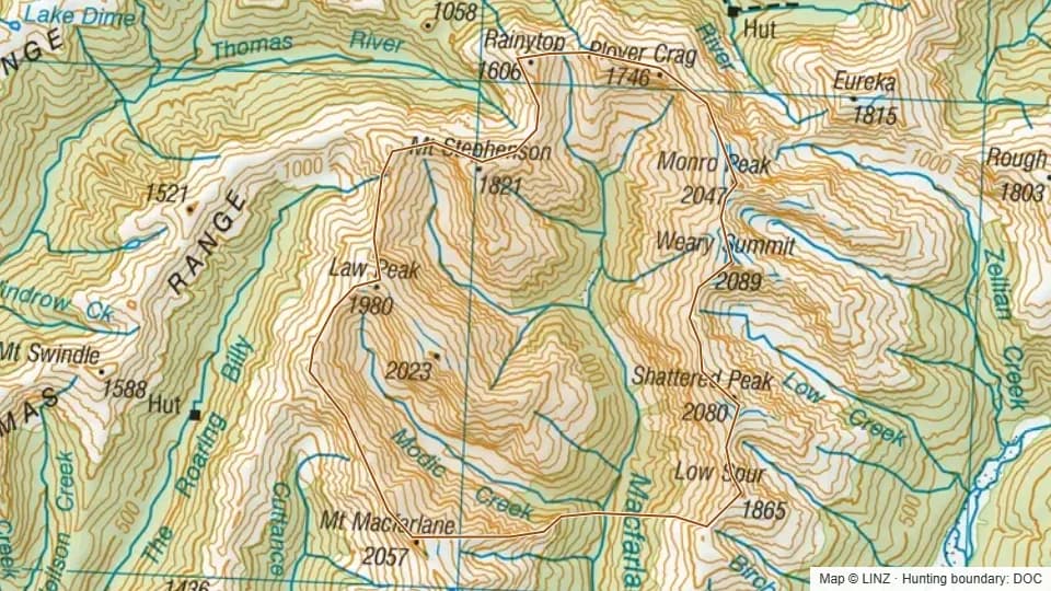 62 - Upper McFarlane5,839 ha
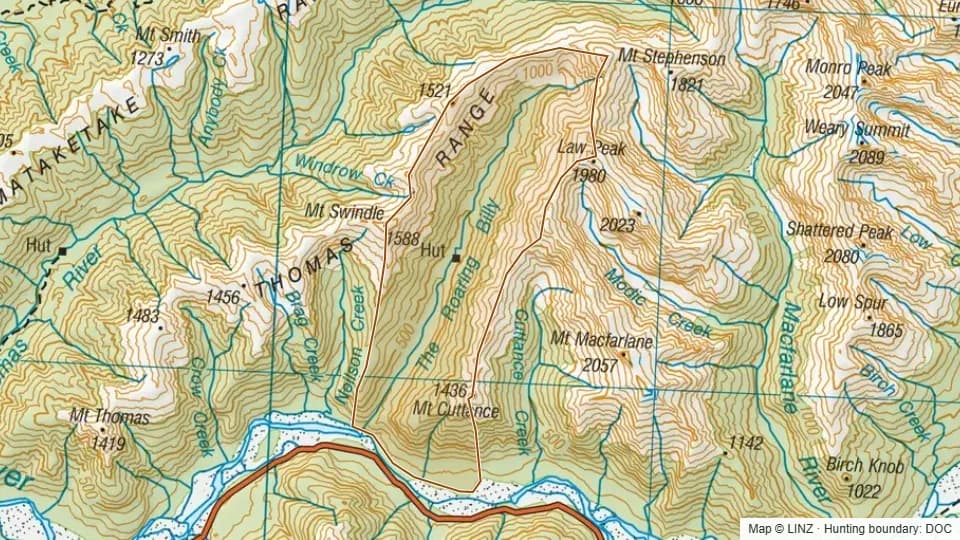 63 - Roaring Billy3,720 ha
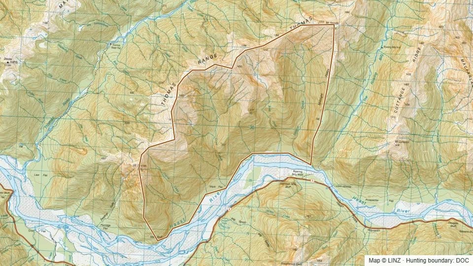 64 - Crow Bag Creek3,060 ha
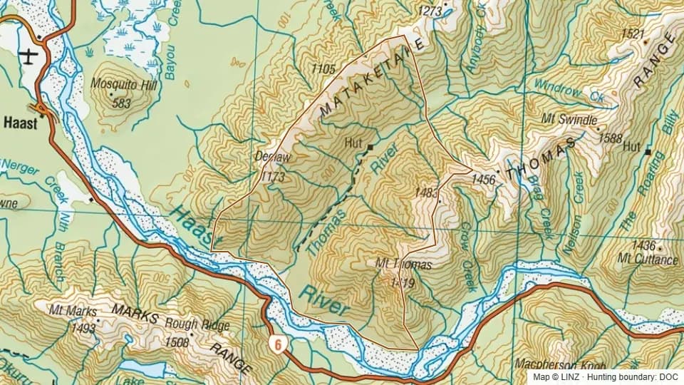 65 - Lower Thomas River5,645 ha
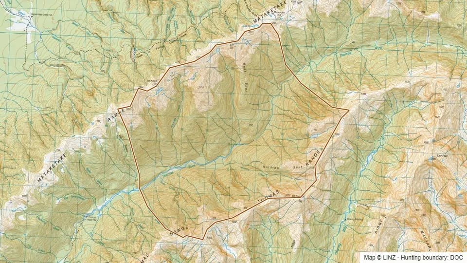 66 - Mid Thomas River4,571 ha
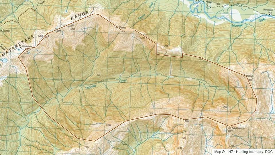 67 - Upper Thomas River2,956 ha
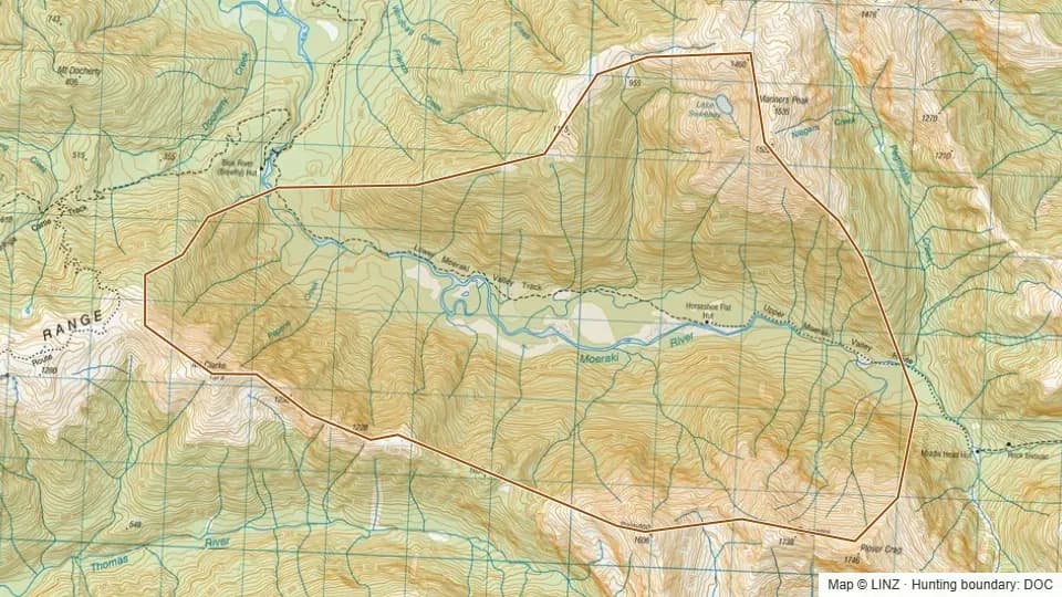 68 - Lower Moeraki (Blue River)3,450 ha
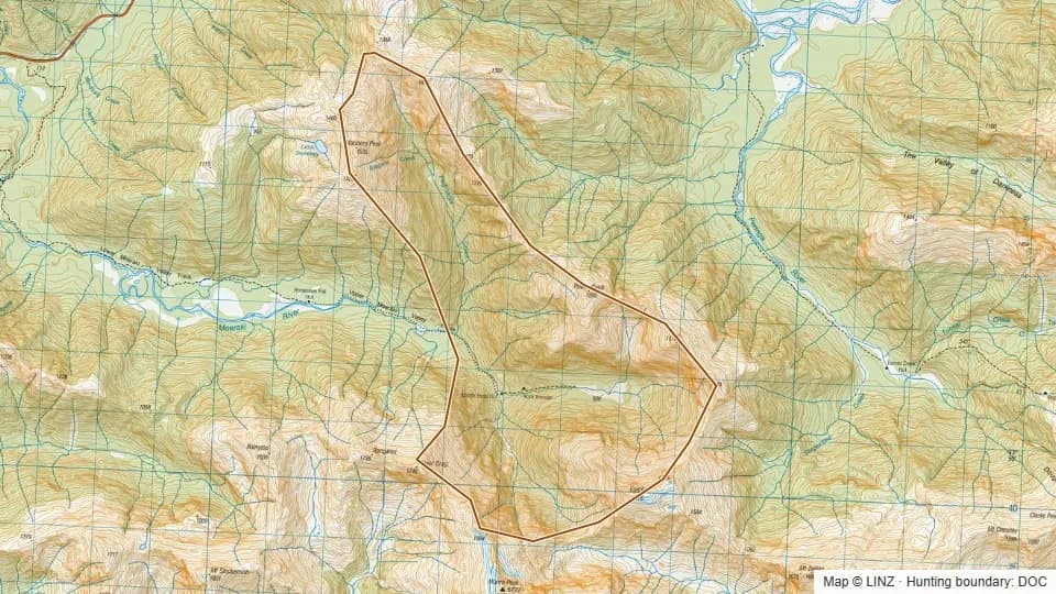 69 - Upper Moeraki2,340 ha
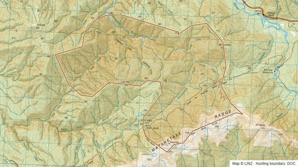 70 - Whakapohai2,690 ha
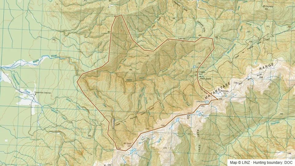 71 - Waita2,602 ha
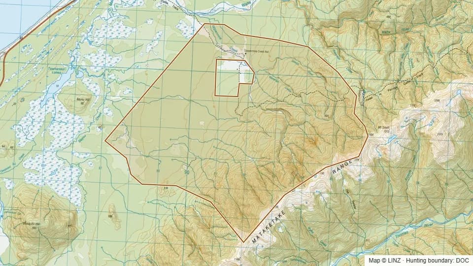 72 - Coppermine Creek3,770 ha
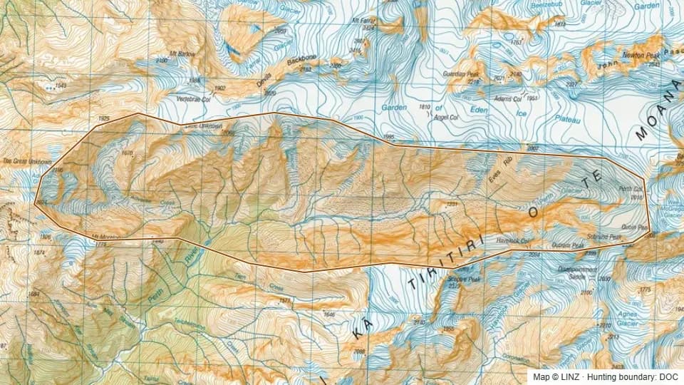 Able Lake2,144 ha
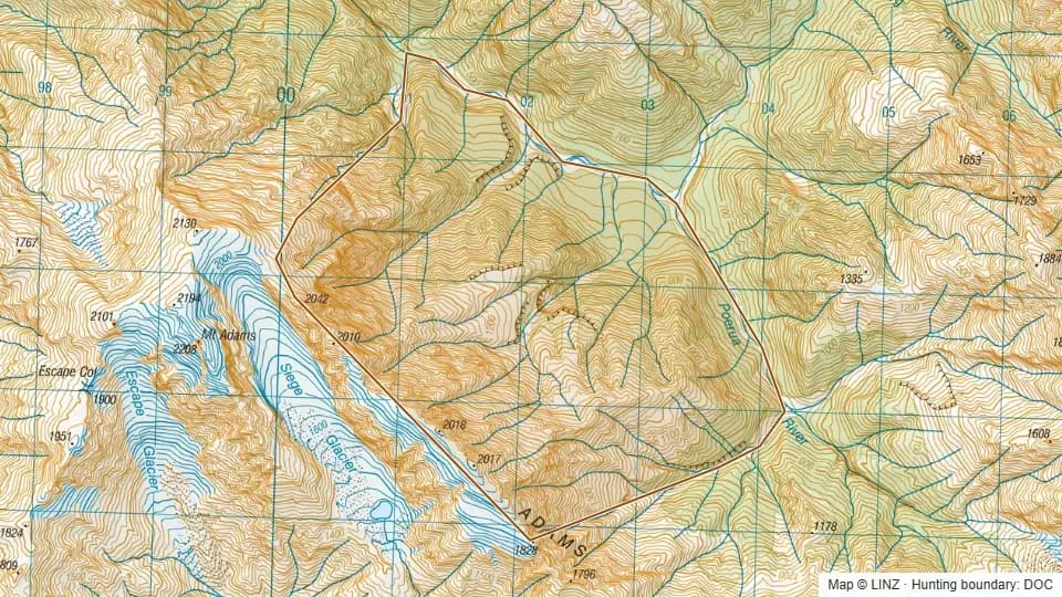 Adam Range942 ha
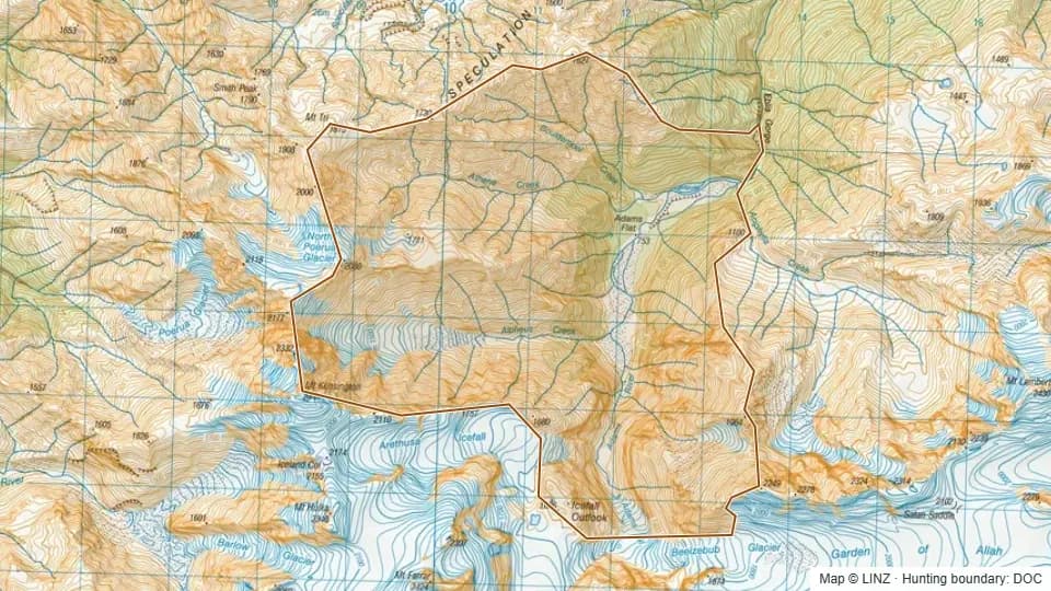 Adams Flat2,004 ha
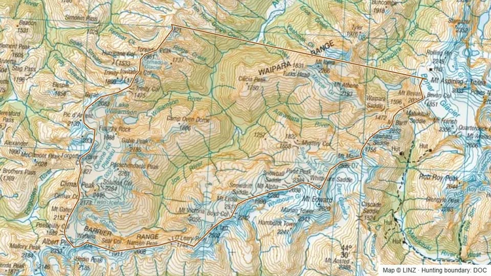 Arawhata29,244 ha
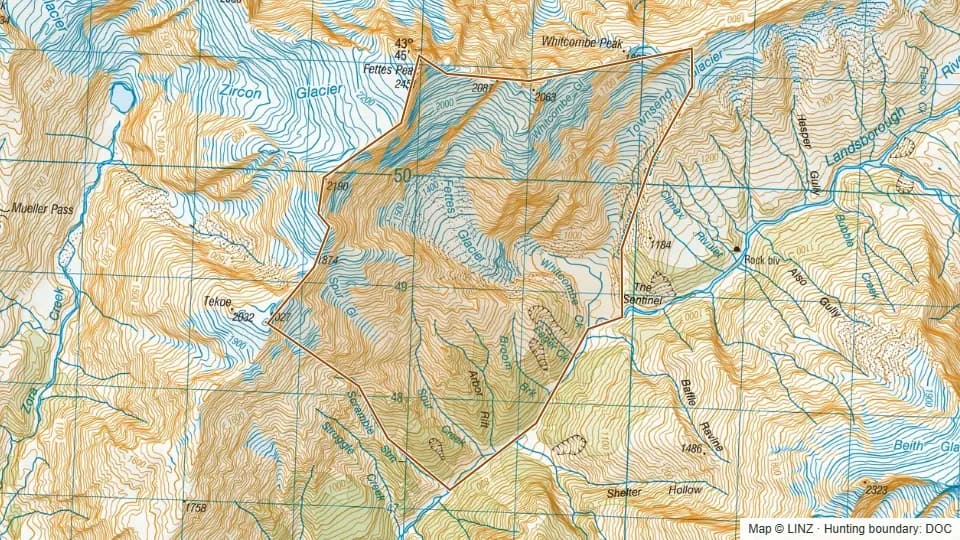 Arbor Rift868 ha
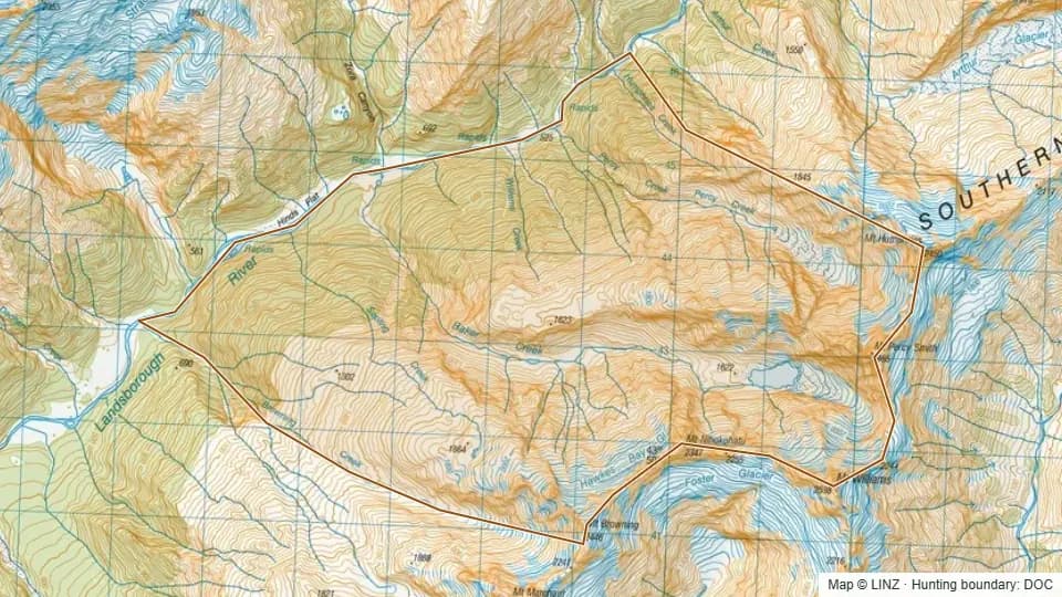 Baker Creek Lower2,514 ha
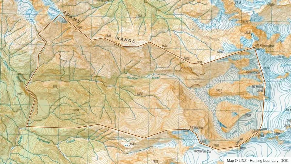 Barlow River2,240 ha
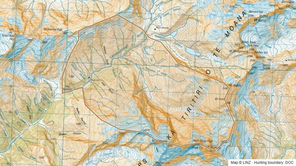 Bubble Creek2,065 ha
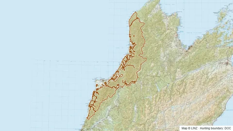 Buller - Kawatiri367,152 ha
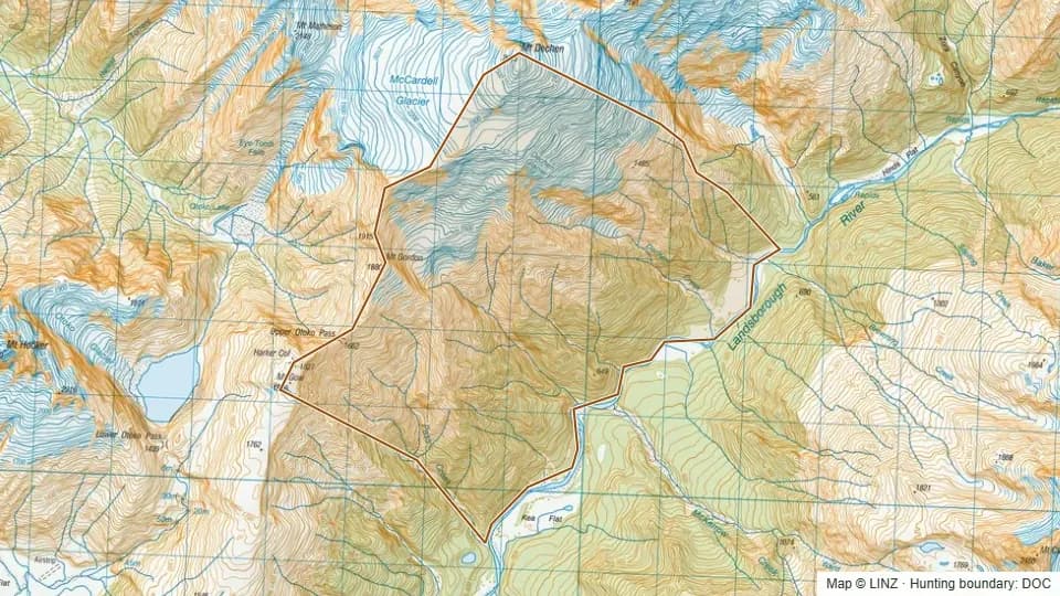 Dechen Creek1,948 ha
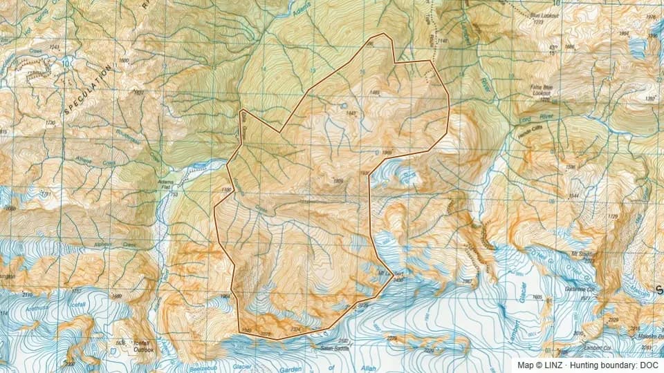 Eblis Tops1,669 ha
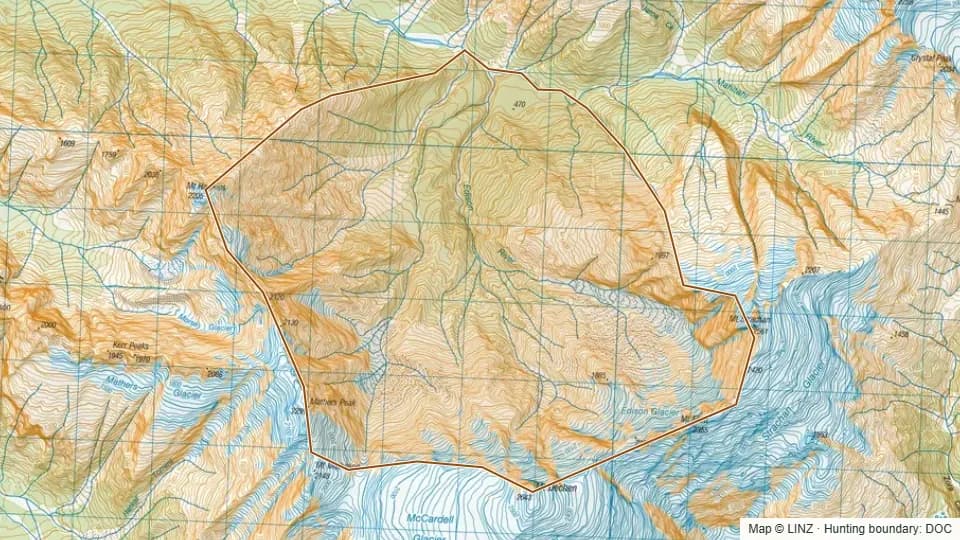 Edison River2,657 ha
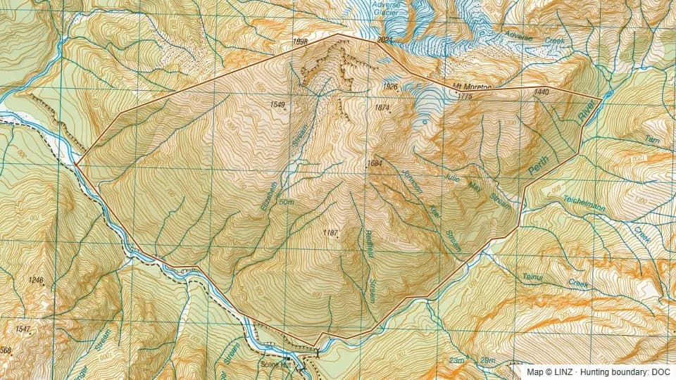 Elizabeth Stream1,633 ha
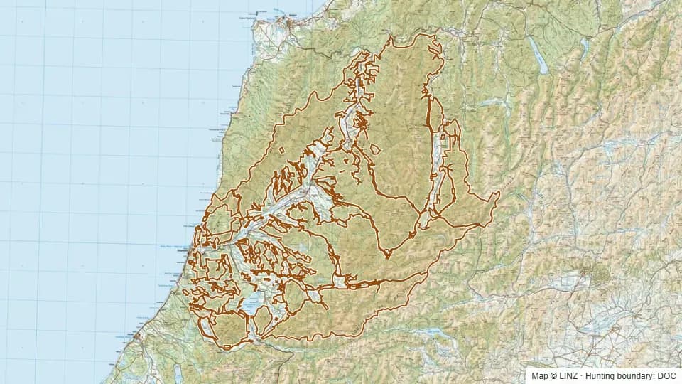 Greymouth - Mawheranui501,382 ha
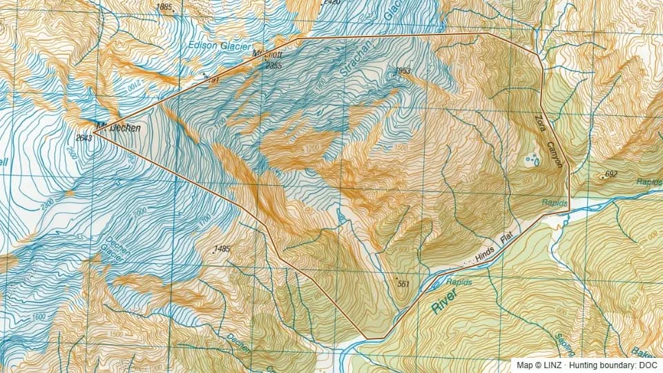 Hinds Tarn1,208 ha
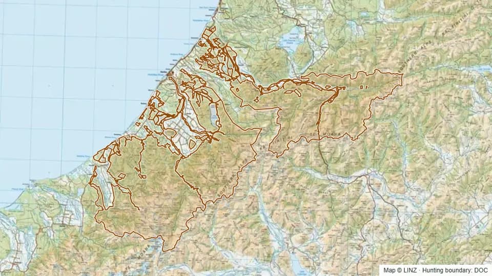 Hokitika218,995 ha
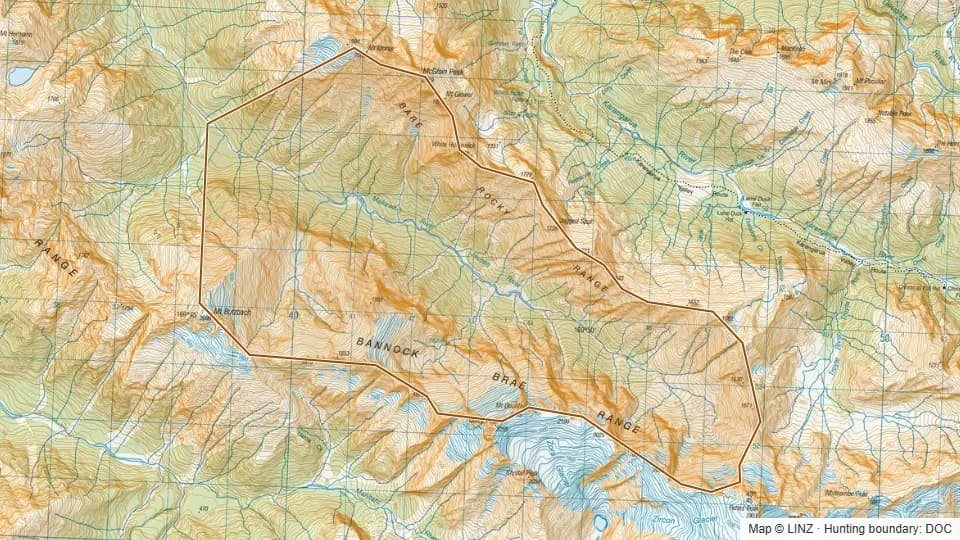 Jacobs Upper3,599 ha
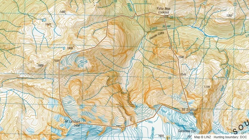 Lambert River1,170 ha
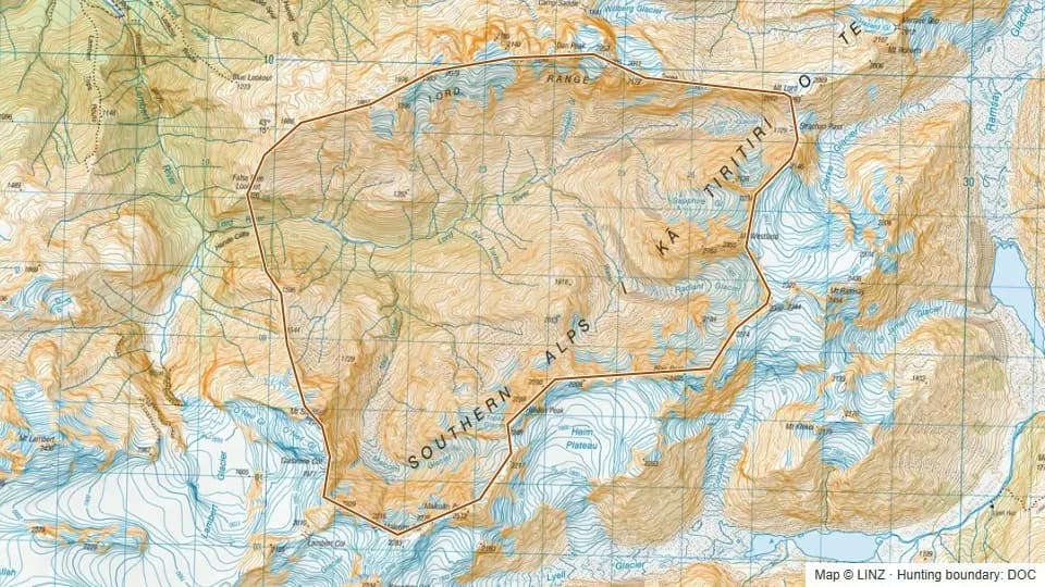 Lord River3,536 ha
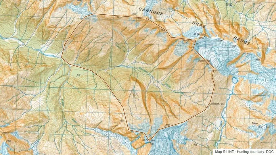 Mahitahi Lower2,091 ha
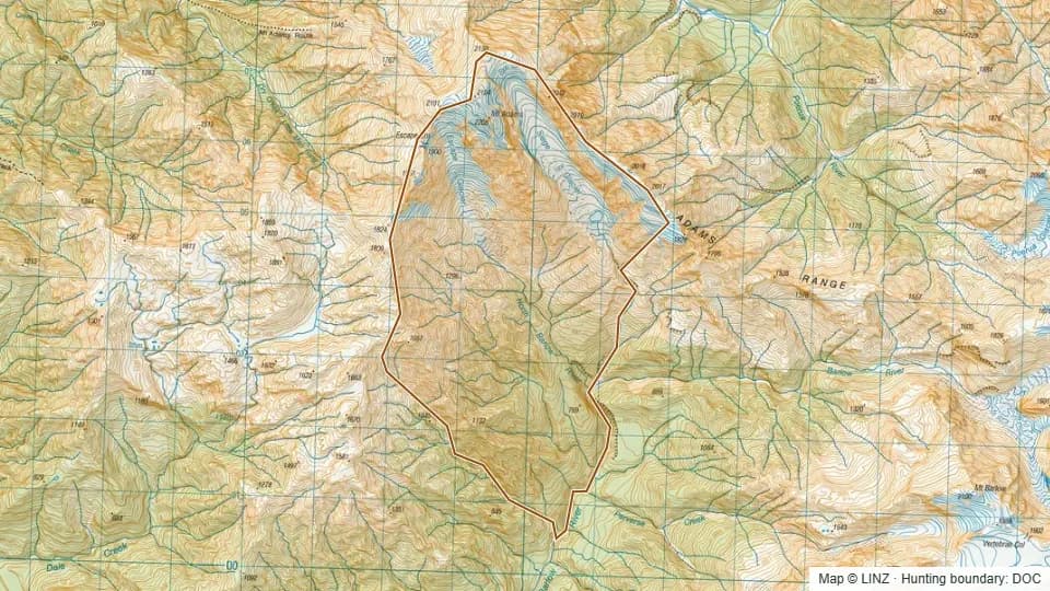 North Barlow1,637 ha
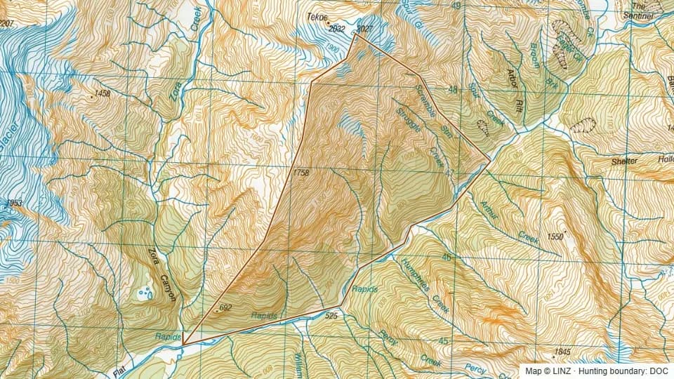 Opposite Percy548 ha
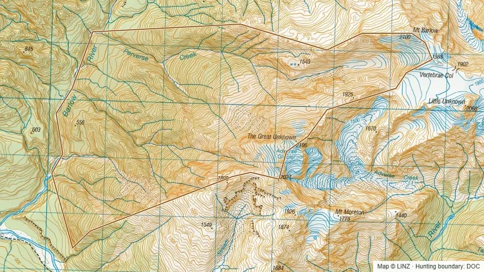 Perverse Creek1,436 ha
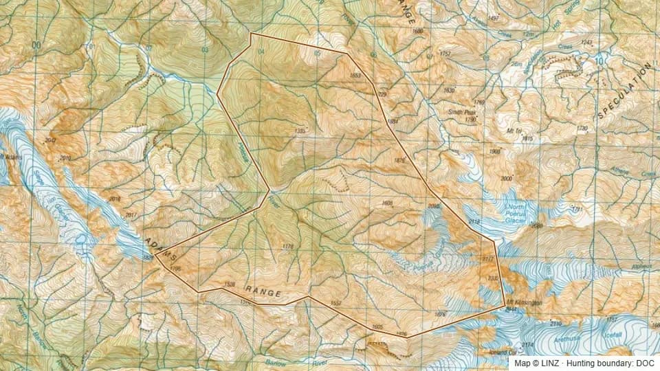 Poerua1,739 ha
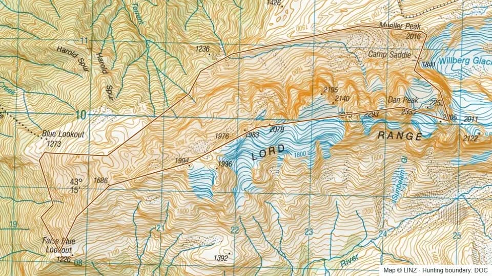 Poker Gully503 ha
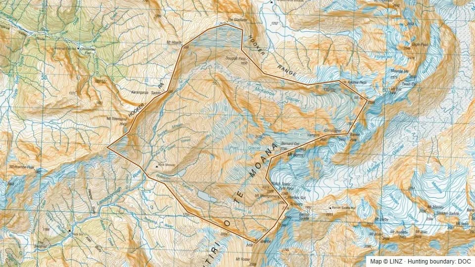 Rubicon Rock Biv2,281 ha
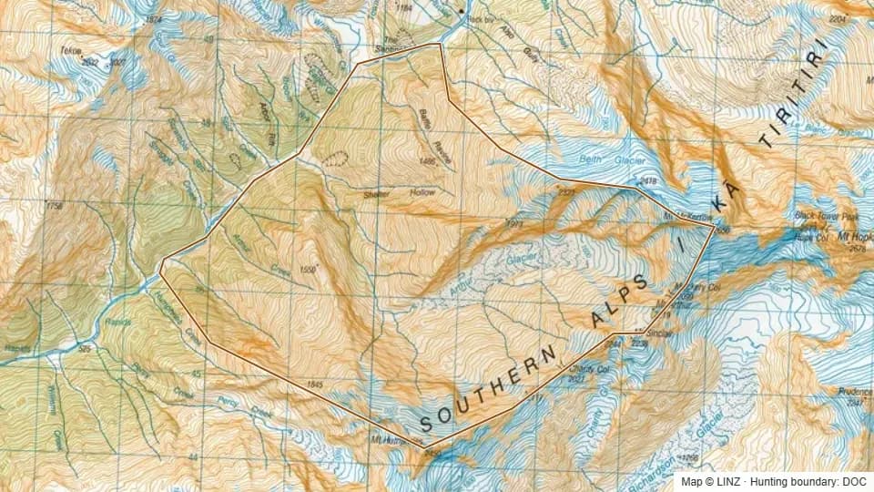 Shelter Hollow1,698 ha
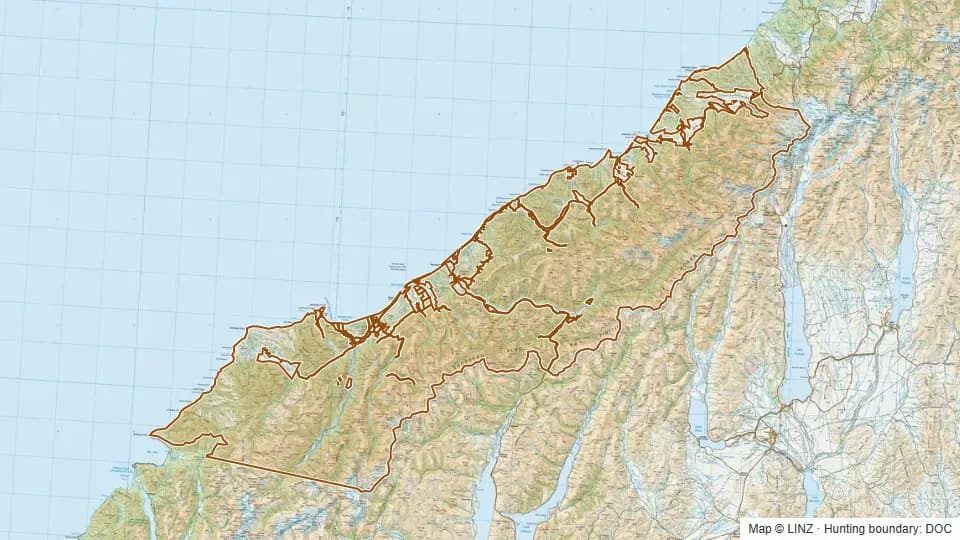 South Westland - Weheka601,316 ha
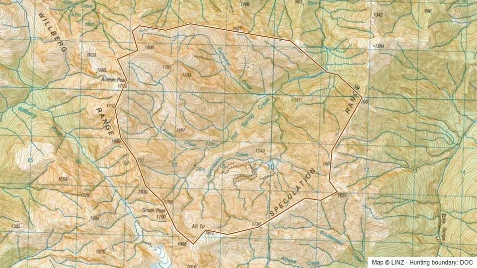 Speculation Creek1,640 ha
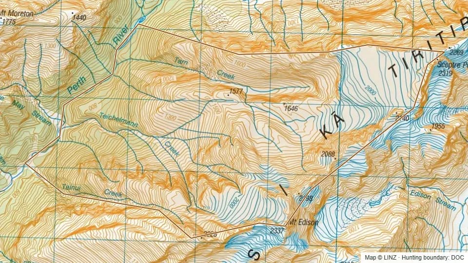 Teichelmann Creek1,037 ha
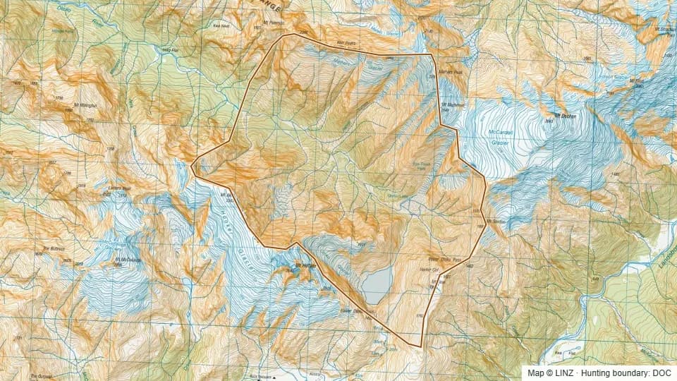 Upper Otoko3,366 ha
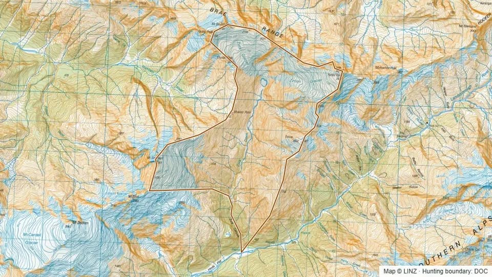 Upper Zora2,066 ha
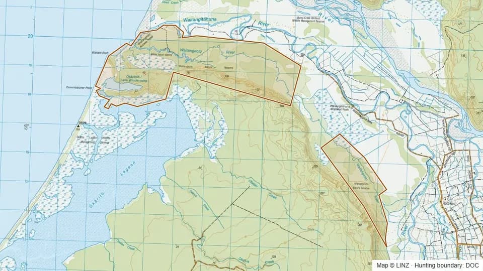 Waitangiroto Nature Reserve1,525 ha
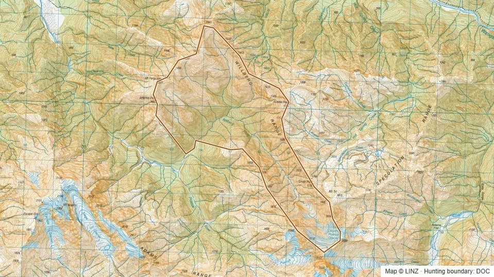 Willberg1,768 ha