Hunting in Southland
Overview
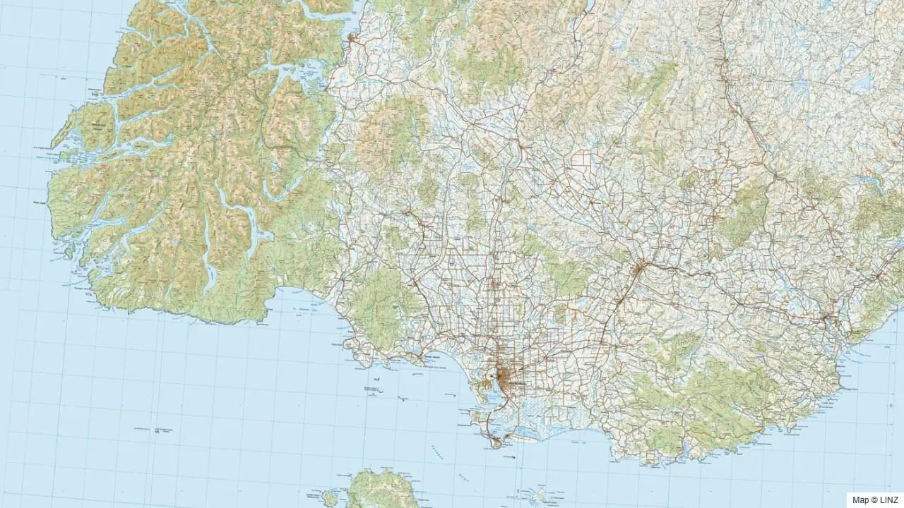
Southland sits at the bottom of the South Island, looking south toward Stewart Island and east into Otago. The country is dominated by three big public hunting blocks — the Takitimu Mountains, the Eyre Mountains / Taka Rā Haka Conservation Park, and the Longwood Range — with the Hokonui Hills, the southern Catlins, and the lowland farmland and forestry filling the rest. Southland borders Fiordland on the west, and the influence of Fiordland's wet weather is felt strongly along that boundary.
Southland is one of the strongest pig hunting regions in the country and a reliable red deer destination for most of the year. The Blue Mountains fallow herd extends into northern Southland, and chamois are present at low density on the western ranges adjacent to Fiordland. For Invercargill and Gore-based hunters, the variety of country within easy reach is the main appeal: bush, tussock, alpine top, and lowland scrub all within two hours of home.
What You Can Hunt
- Red deer — abundant throughout, with the strongest concentrations in the Takitimu, Eyre Mountains, and the bush valleys leading up into Fiordland.
- Fallow deer — extension of the Blue Mountains herd into northern Southland; pockets in other forestry country.
- Chamois — present at the western edges of the region in the Takitimu and Eyre headwaters, particularly where they border on Fiordland.
- Wild pig — strong throughout Southland; the Hokonui Hills, Catlins, and Longwoods are well-known pig country.
- Wild goat — present through scrub margins and broken hill country.
Where to Hunt
- Takitimu Mountains — large block of tussock-and-bush country north-west of Invercargill. Red deer the headline; chamois at the western end.
- Eyre Mountains / Taka Rā Haka Conservation Park — north of the Takitimu, leading into Otago. Red deer throughout and chamois at the higher altitudes.
- Longwood Range — bush country between Invercargill and Riverton. Red deer and pig.
- Hokonui Hills — eastern Southland, mixed bush and farmland. Pig and red deer.
- Catlins (Southland portion) — beech-podocarp bush along the south coast. Red deer and strong pig hunting.
- Mavora Lakes area — at the Southland / Fiordland boundary. Red deer and chamois; access via the Mavora road.
- Blue Mountains (northern Southland edge) — fallow rut country shared with West Otago.
Getting In
- Road — State Highways 6, 94, 96, and 1 frame the region, with sealed and gravel roads spurring into most public conservation blocks.
- Foot — all park hunting is foot access from the road end. Hut networks exist in the Takitimu and Eyre Mountains; sparser in the Longwoods and Hokonuis.
- Air — fixed-wing strips at a handful of stations; helicopter access into the back country of the Takitimu and Eyre is common.
- Water — minor — some boat access on Lake Te Anau and the Waiau system feeds into Fiordland-side hunting.
Seasons & Weather
Southland's weather is cooler and wetter than Otago but drier than Fiordland. Winters are long, cold, and snowy on the tops; summers can be cool and changeable.
| Period | What's happening | Notes |
|---|---|---|
| Mar–Apr | Red roar | Reliable through Takitimu, Eyre, Longwoods, and Catlins. |
| Mar–Apr | Fallow rut | Northern Southland, Blue Mountains edge. |
| May–Jul | Chamois rut | Takitimu and Eyre headwaters. |
| Jun–Aug | Winter | Heavy snow on the tops, deer feeding low. Excellent meat hunting. |
| Sep–Nov | Spring | Cool, lambing. Velvet stags emerging. |
| Dec–Feb | Summer | Cool by national standards. Long daylight hours; tops accessible. |
Sandflies are extreme along the Fiordland boundary in summer — head net, repellent, and long sleeves are mandatory at lower altitudes.
Gear & Conditions
Country is a mix of beech bush, tussock, and lowland scrub. Medium calibres in 6.5mm–.308 are ideal across all species. Boots and gaiters matter — the bush is slippery and the tops carry tarn-and-bog country. Frosts are heavy; sub-zero overnights are routine from April through October. Multi-day trips need a buffer for weather hold-ups, particularly along the western edge near Fiordland.
Permits & Regulations
A free DOC permit covers public conservation land throughout the region. Pig dog hunting is permitted on conservation land subject to dog-control conditions; this is a significant part of Southland hunting culture. Spotlighting is not permitted on conservation land. Some forestry blocks operate paid-permit access through the relevant forestry company. Always check current 1080 operations before planning a trip — Southland forest blocks are regularly under control.
Open the Map
Open Southland in the full hunting map →
Takitimu, Eyre, Longwood, Hokonui, and Catlins blocks with hunting areas, tracks, huts, walking-access, and current pesticide operations.
Useful Links
Game animals in Southland
Hunting areas in Southland
106 DOC hunting blocks — species, huts, access and an interactive map for each.
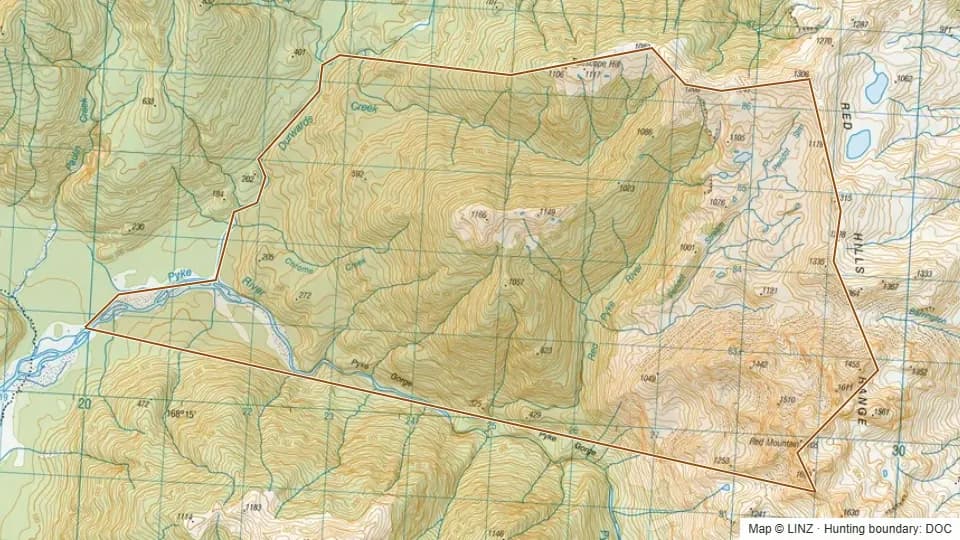 01 - Durwards Creek3,280 ha
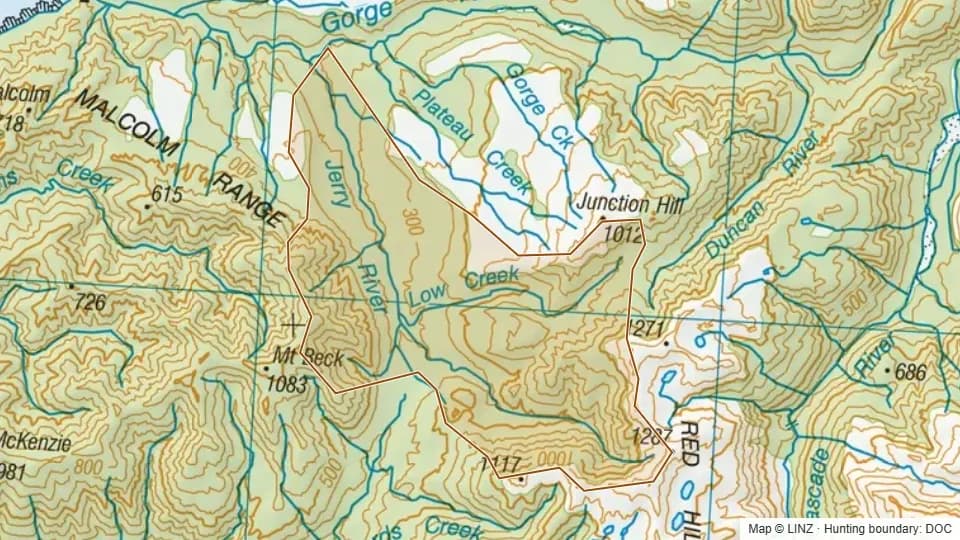 07 - Jerry River3,960 ha
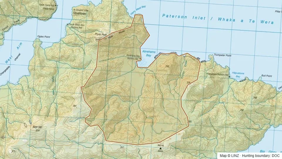 Abrahams Bay1,572 ha
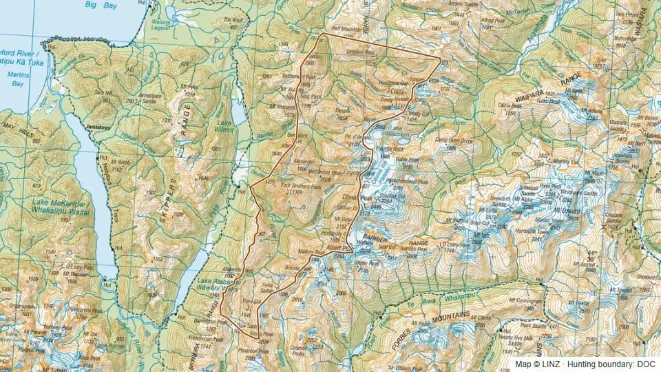 Barrier19,918 ha
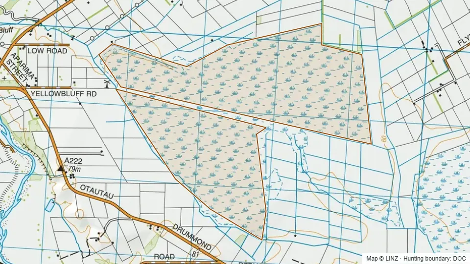 Bayswater Peatland Scenic Reserve513 ha
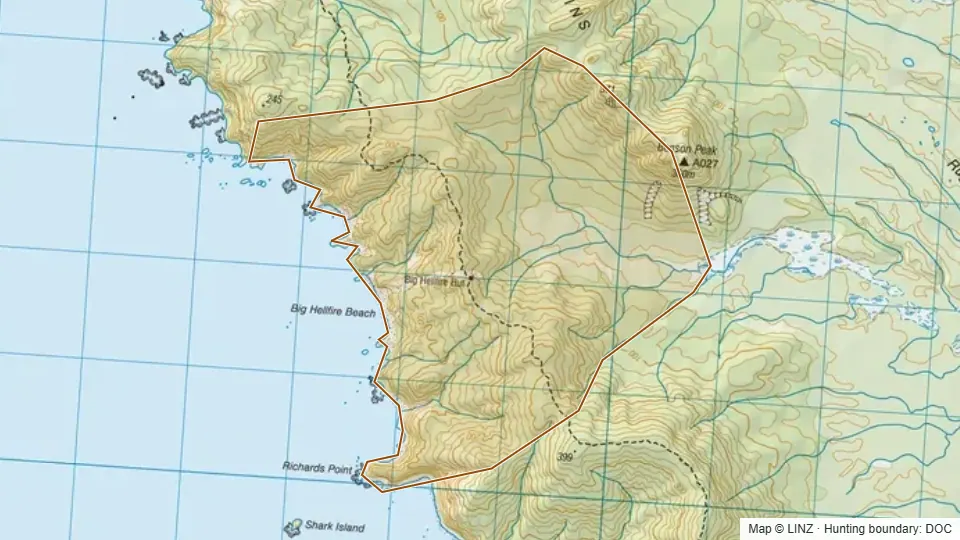 Big Hellfire993 ha
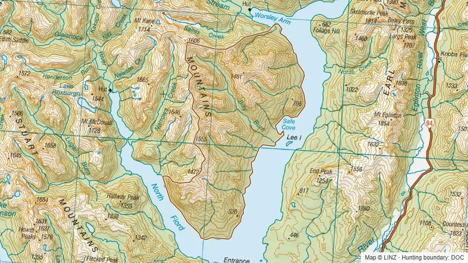 Billy Burn9,555 ha
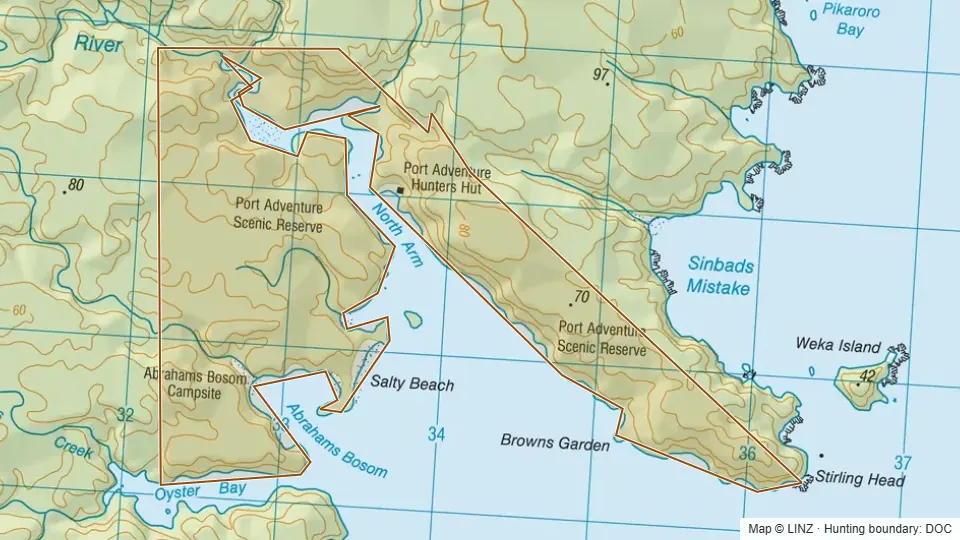 Bosom480 ha
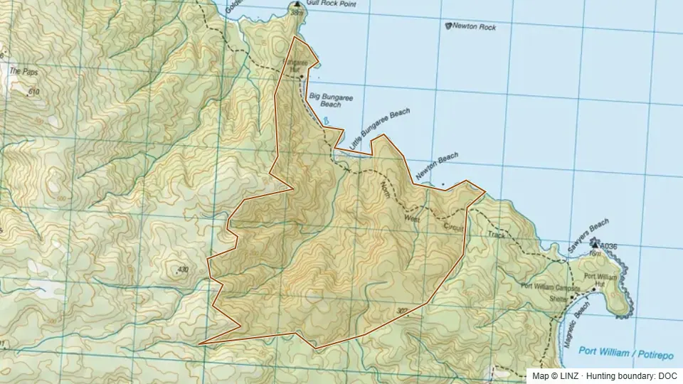 Bungaree827 ha
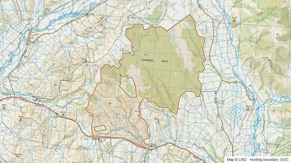 Burwood Bush (Red Tussock) Scientific Reserve2,995 ha
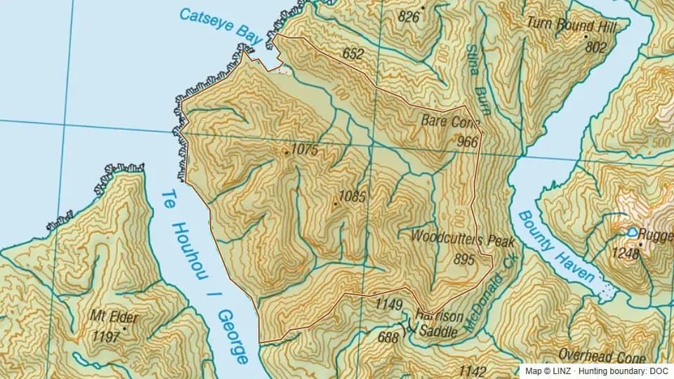 Catseye6,581 ha
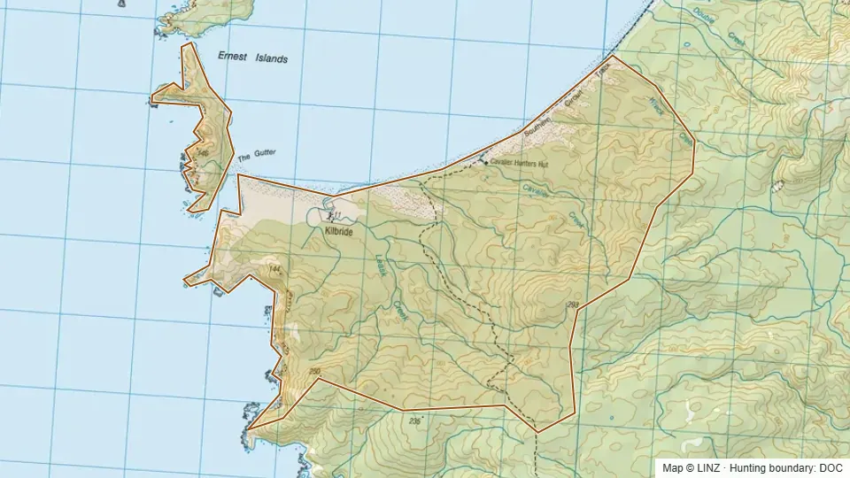 Cavalier1,844 ha
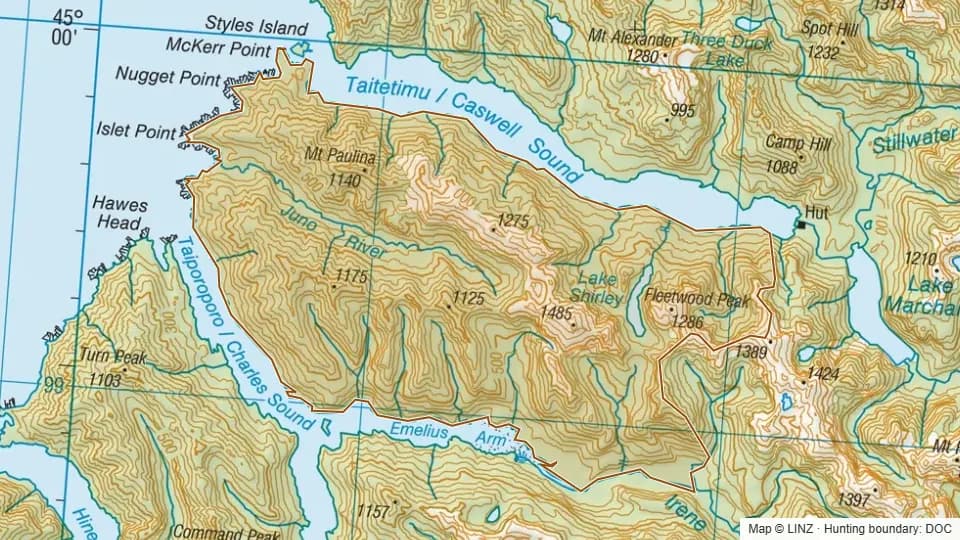 Charles11,104 ha
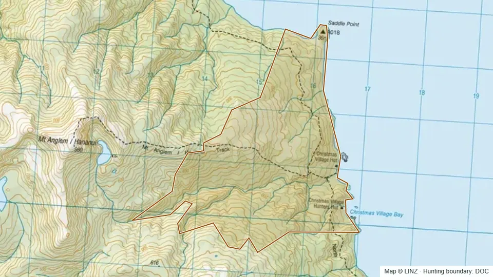 Christmas803 ha
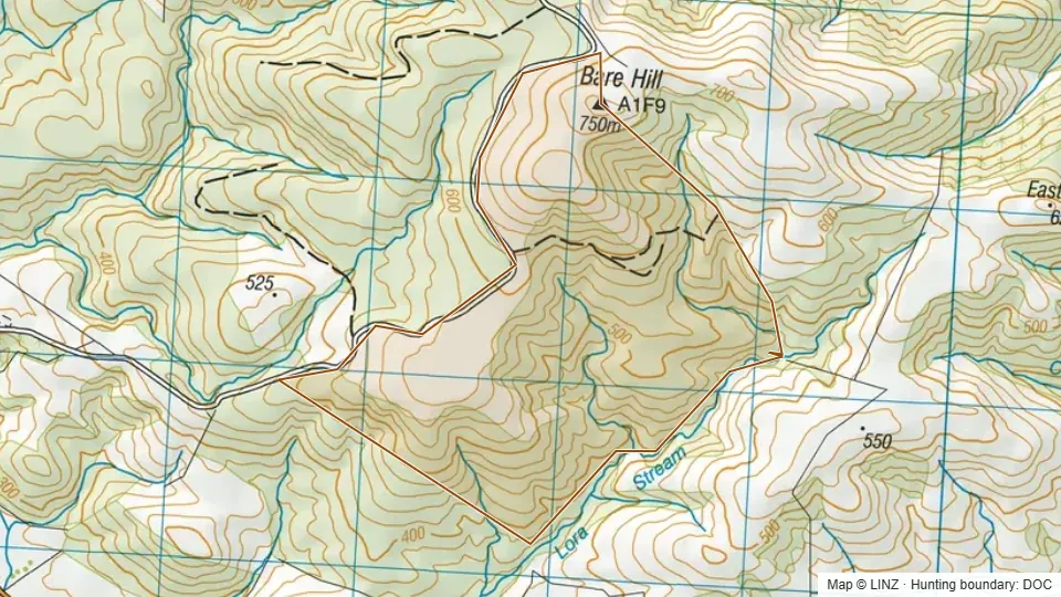 Conservation Area - Bare Hill Forest296 ha
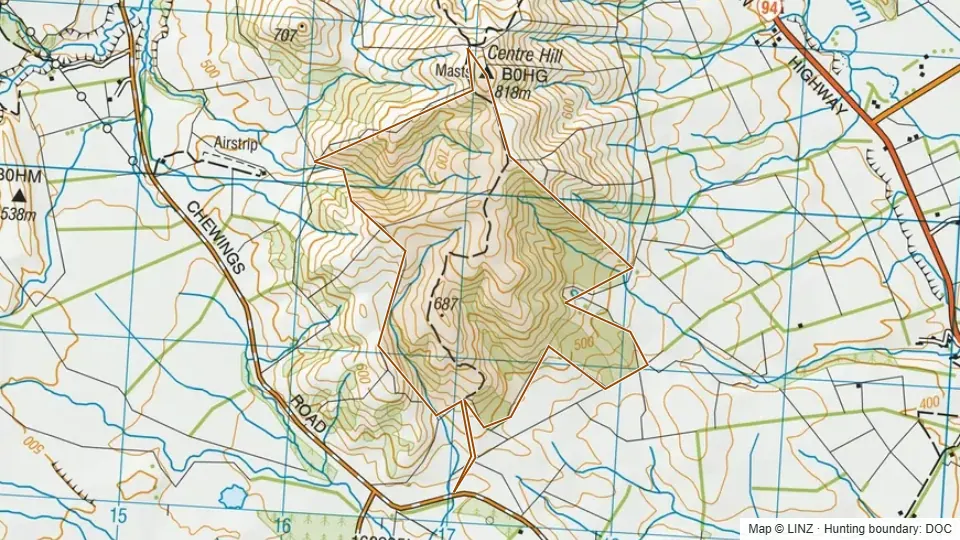 Conservation Area - Centre Hill219 ha
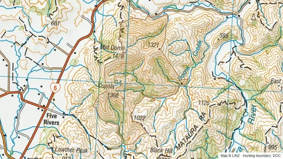 Conservation Area - Cupola, Mid Dome3,506 ha
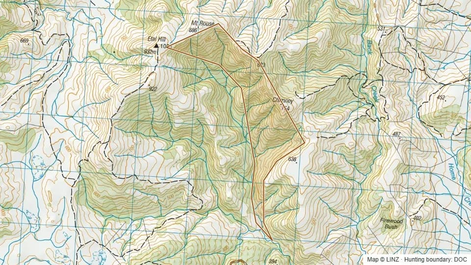 Conservation Area - Etal Hill223 ha
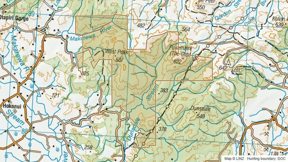 Conservation Area - Hokonui Forest5,371 ha
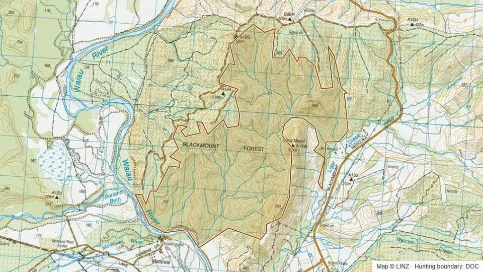 Conservation Area - Jericho Forest1,384 ha
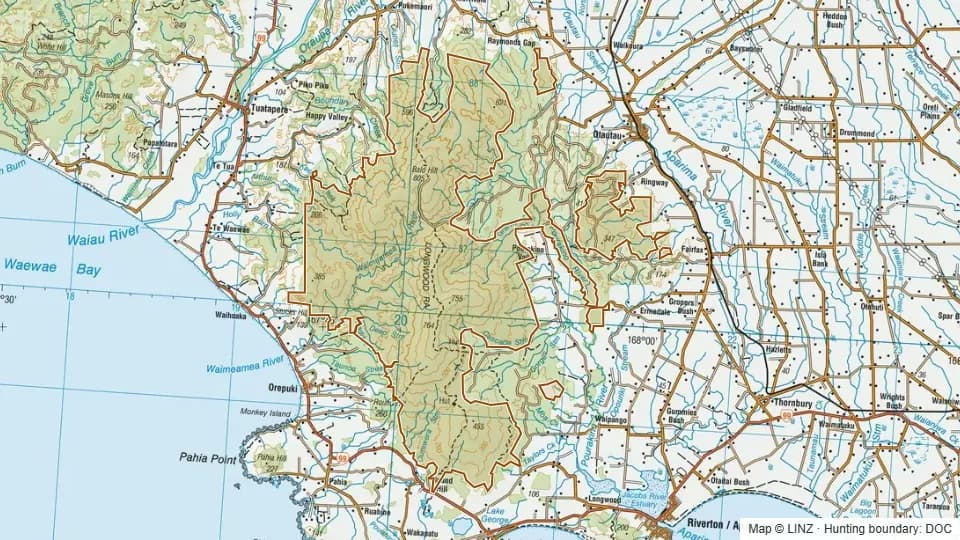 Conservation Area - Longwood Forest23,008 ha
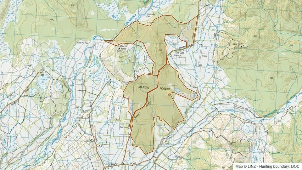 Conservation Area - Margin Forest1,266 ha
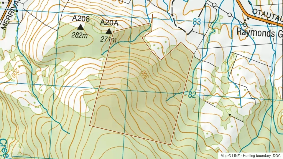 Conservation Area - Merrivale152 ha
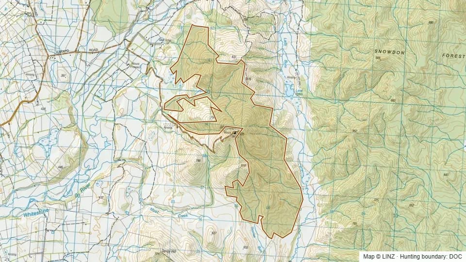 Conservation Area - Mount Prospect1,054 ha
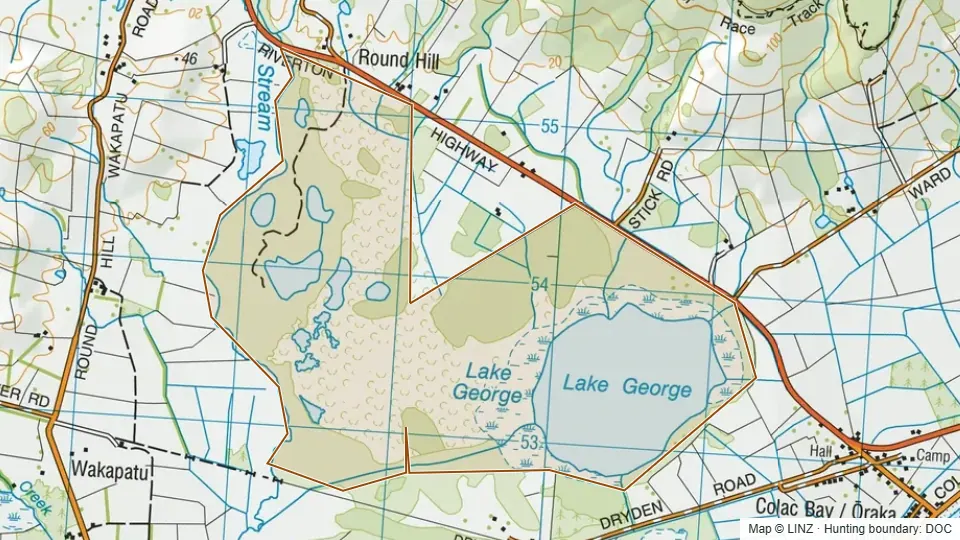 Conservation Area - South Round Hill, Lake George542 ha
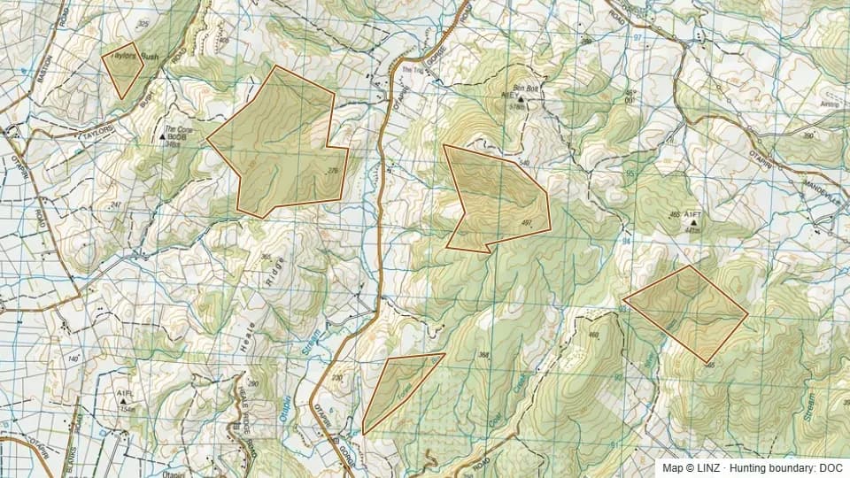 Conservation Area - The Cone Forest660 ha
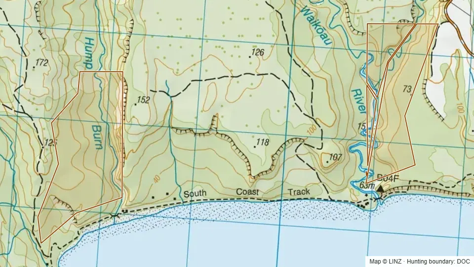 Conservation Area - Waikoau Forest234 ha
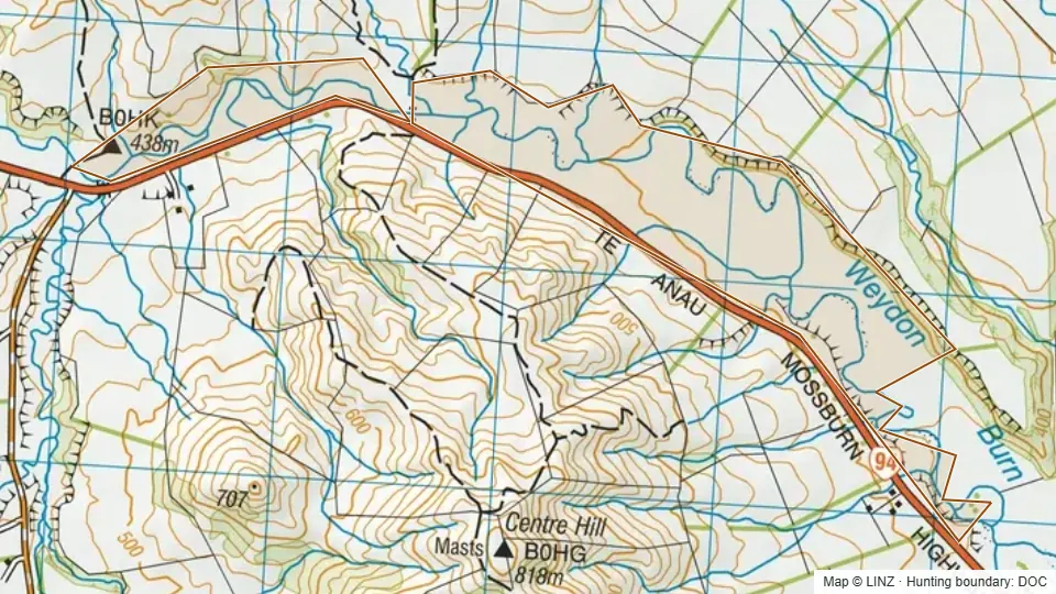 Conservation Area - Weydon Burn166 ha
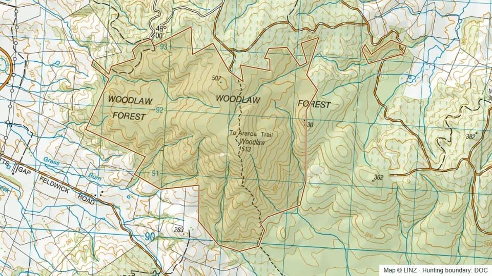 Conservation Area - Woodlaw Forest782 ha
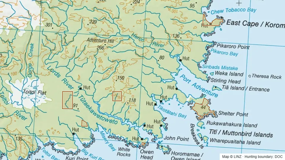 Conservation Areas within Rakiura Maori Land Trust Hunting Blocks537 ha
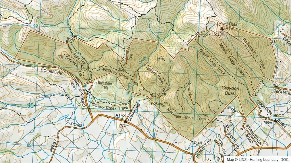 Croydon Bush Scenic Reserve874 ha
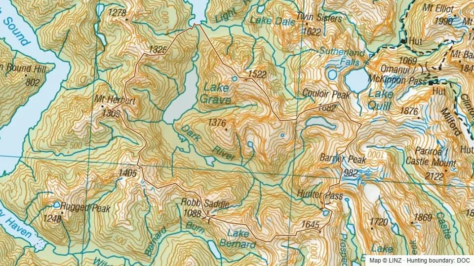 Dark River6,907 ha
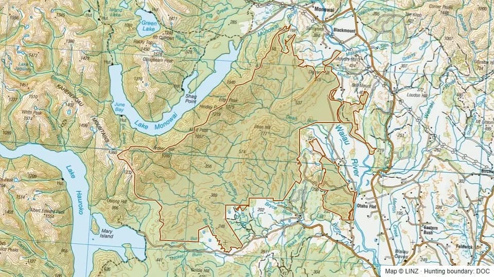 Dean Forest and adjacent PCL24,718 ha
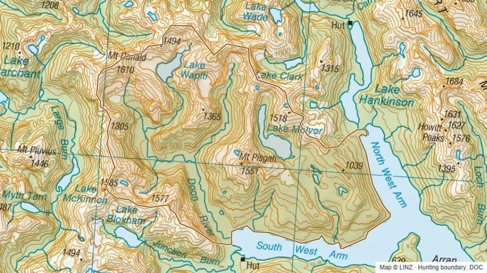 Doon10,015 ha
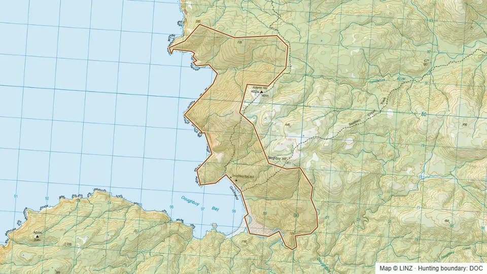 Doughboy1,448 ha
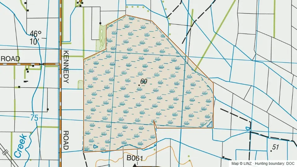 Drummond Swamp Wildlife Management Reserve256 ha
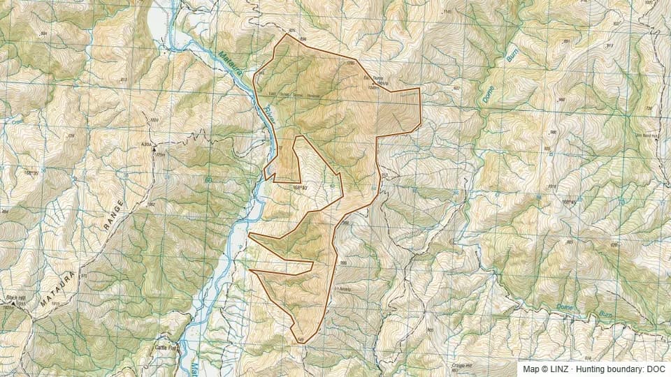 East Dome Scenic Reserve1,312 ha
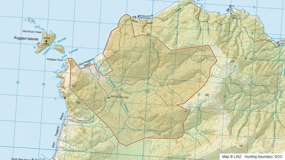 East Ruggedy1,612 ha
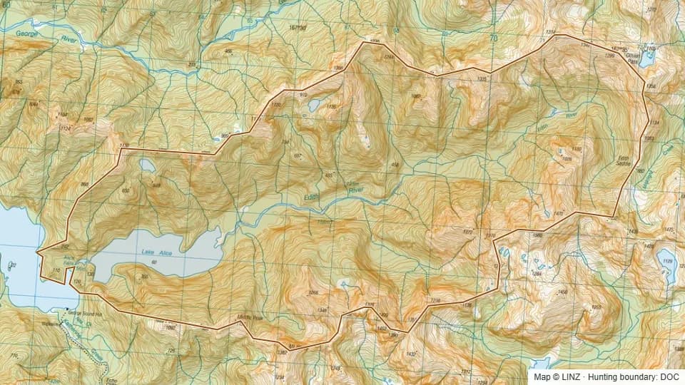 Edith4,796 ha
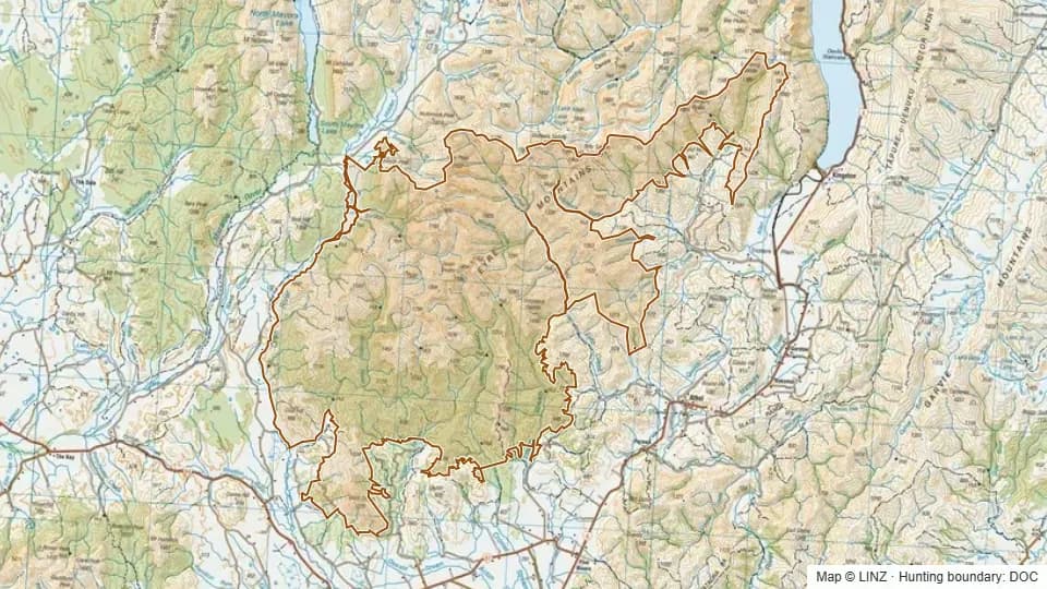 Eyre Mountains/Taka Ra Haka Conservation Park including adjacent PCL69,291 ha
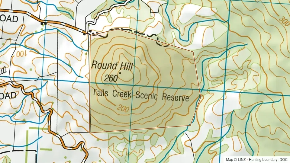 Falls Creek Scenic Reserve120 ha
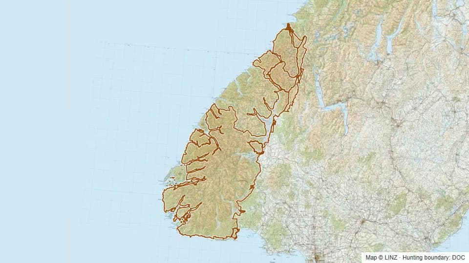 Fiordland National Park including adjacent PCL (excludes Wapiti Area)1,008,014 ha
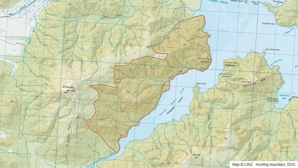 Freds Camp1,762 ha
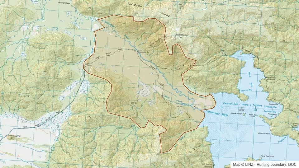 Freshwater3,350 ha
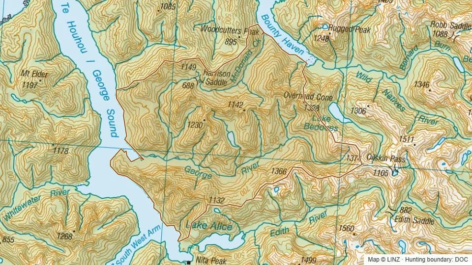 George River9,339 ha
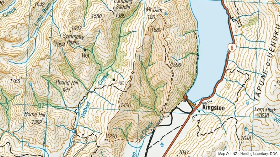 Glen Allen5,385 ha
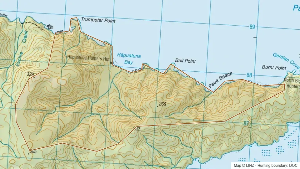 Hapuatuna698 ha
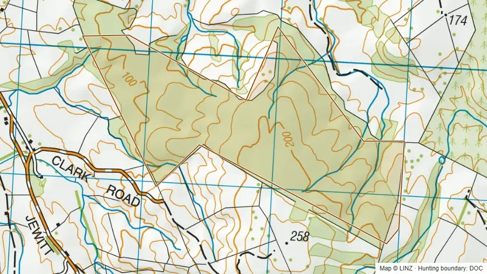 Hokonui Scenic Reserve188 ha
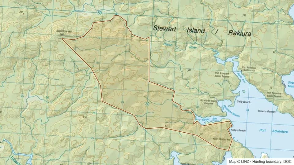 Kellys1,194 ha
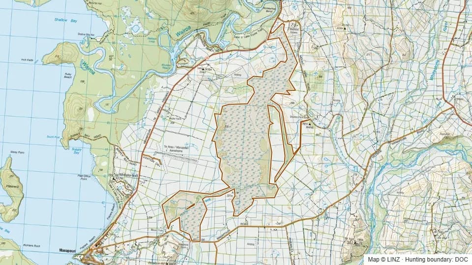 Kepler Mire and Home Creek1,199 ha
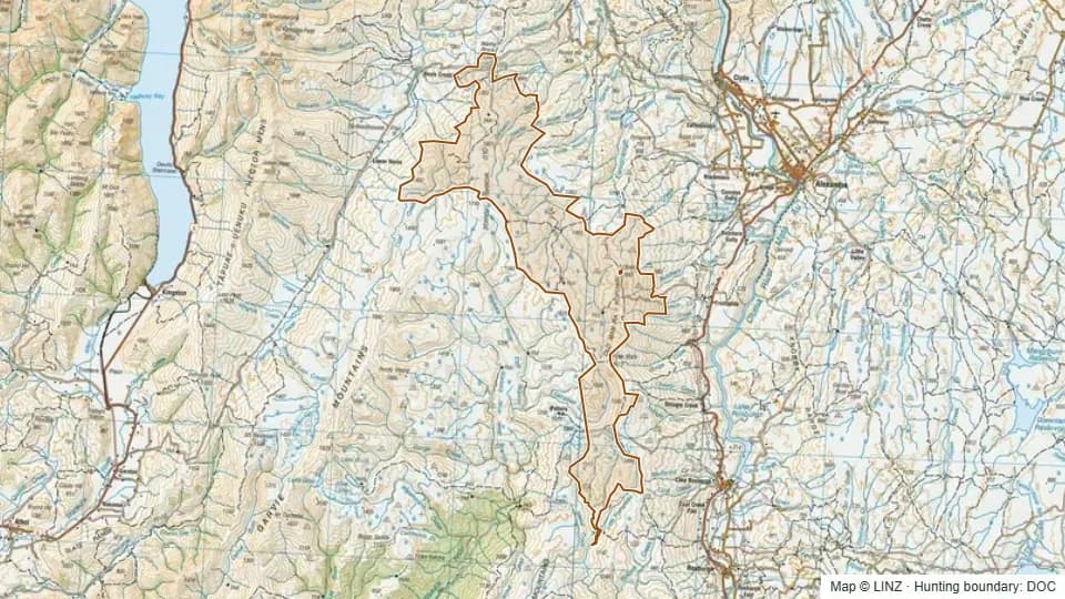 Kopuwai21,214 ha
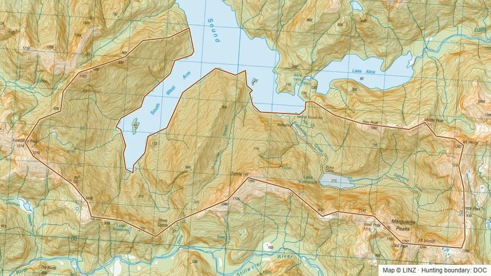 Lake Katherine3,506 ha
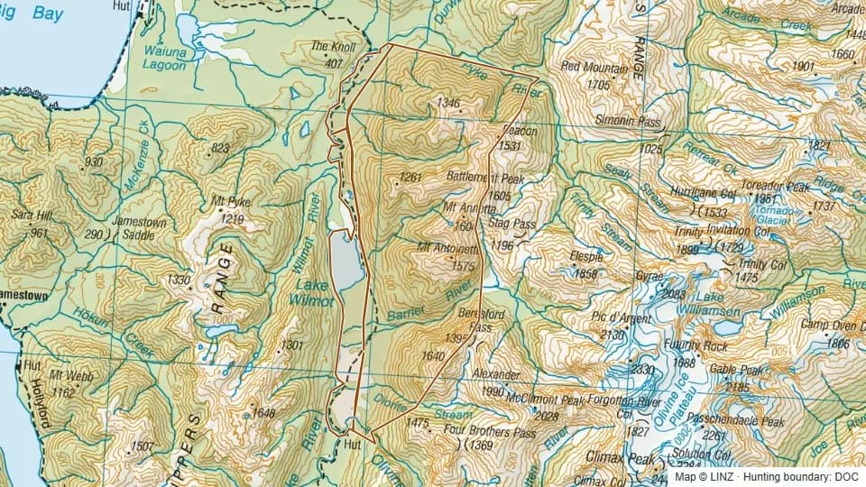 Lake Wilmot East7,817 ha
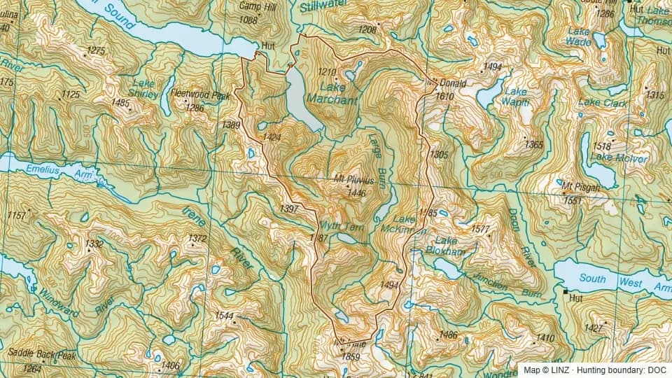 Large Burn8,699 ha
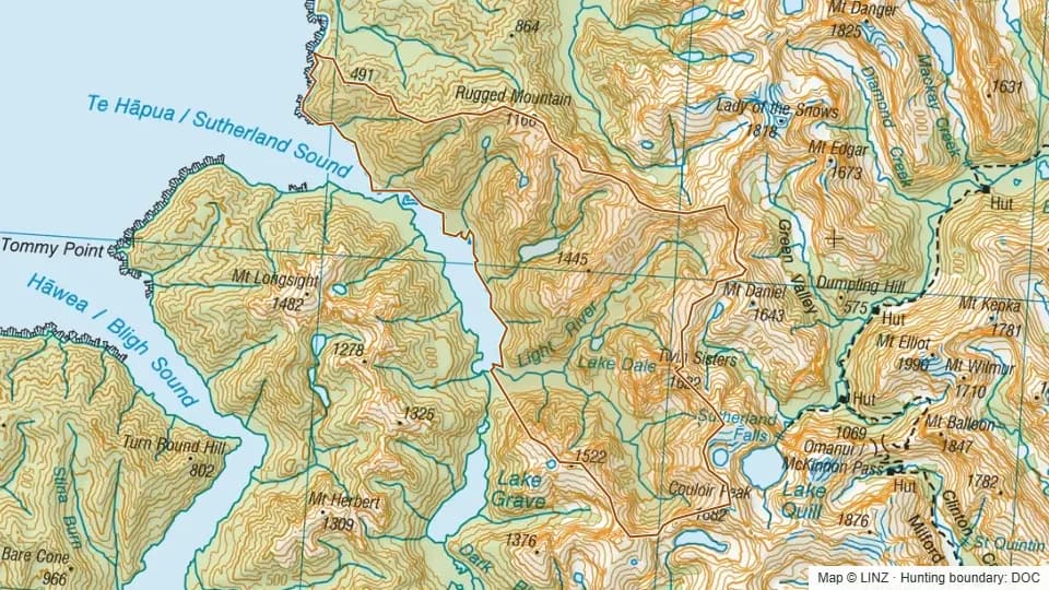 Light River6,772 ha
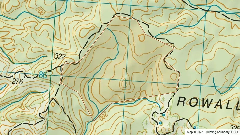 Lindsay Ecological Area127 ha
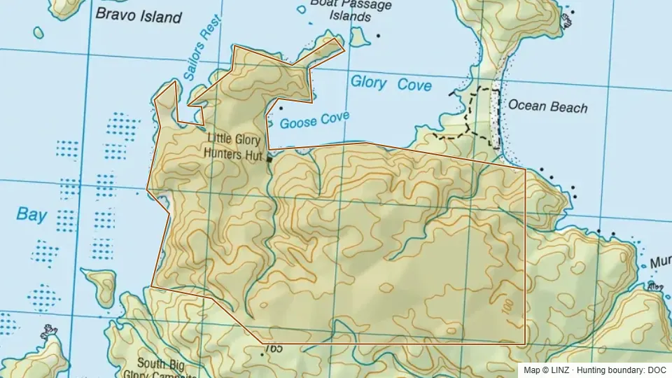 Little Glory Cove450 ha
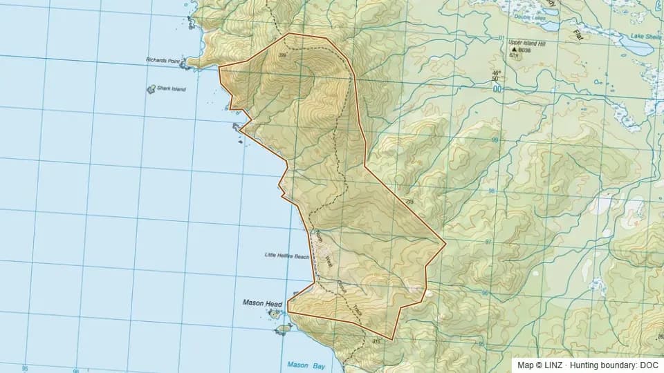 Little Hellfire1,221 ha
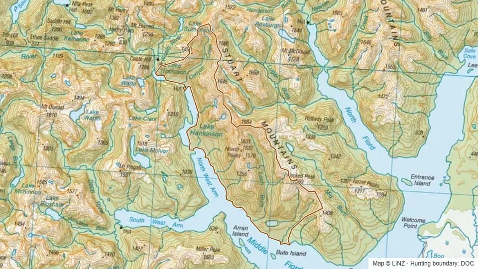 Loch Burn7,986 ha
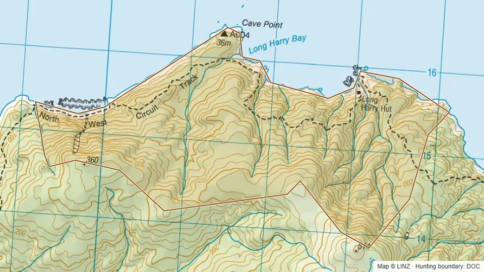 Long Harry652 ha
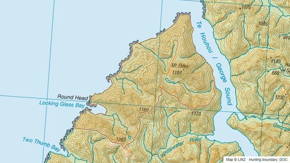 Looking Glass6,945 ha
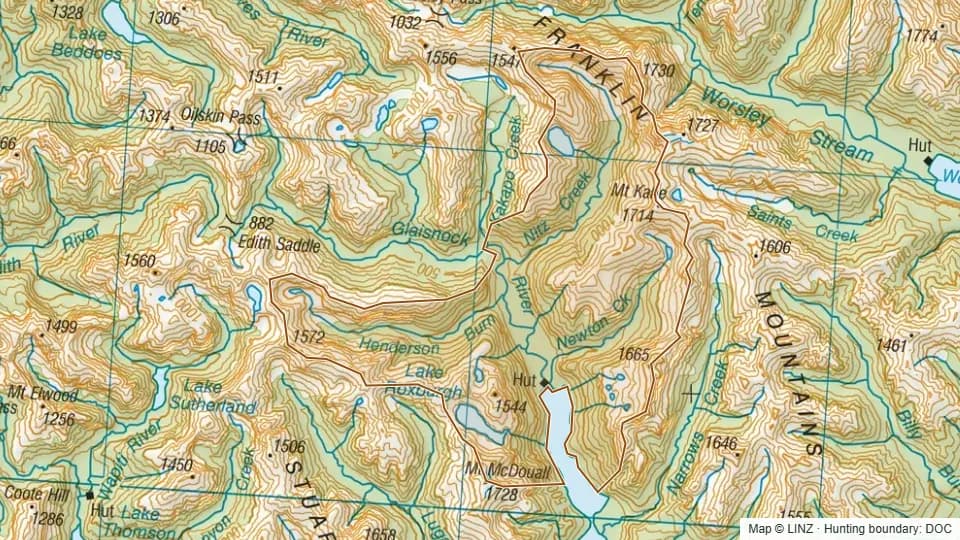 Lower Glaisnock6,353 ha
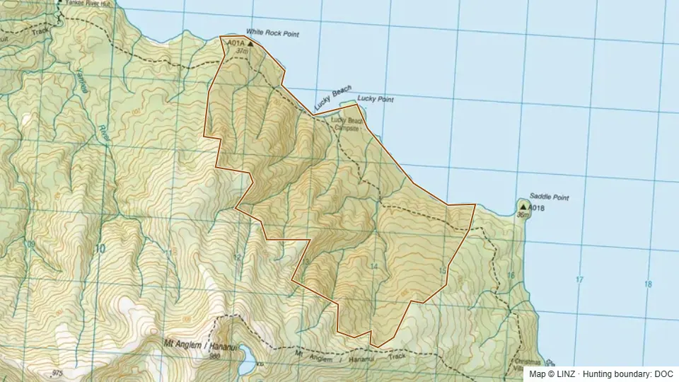 Lucky835 ha
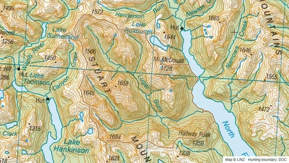 Lugar Burn6,939 ha
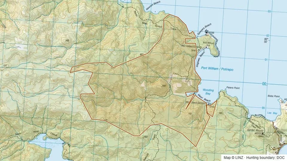 Maori Beach3,204 ha
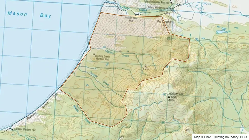 Martins Creek1,013 ha
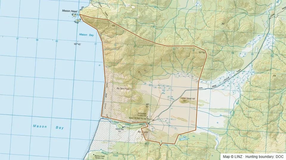 Mason Homestead2,410 ha
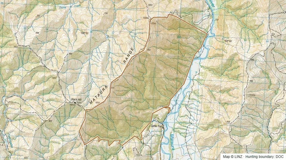 Mataura Range Scenic Reserve1,555 ha
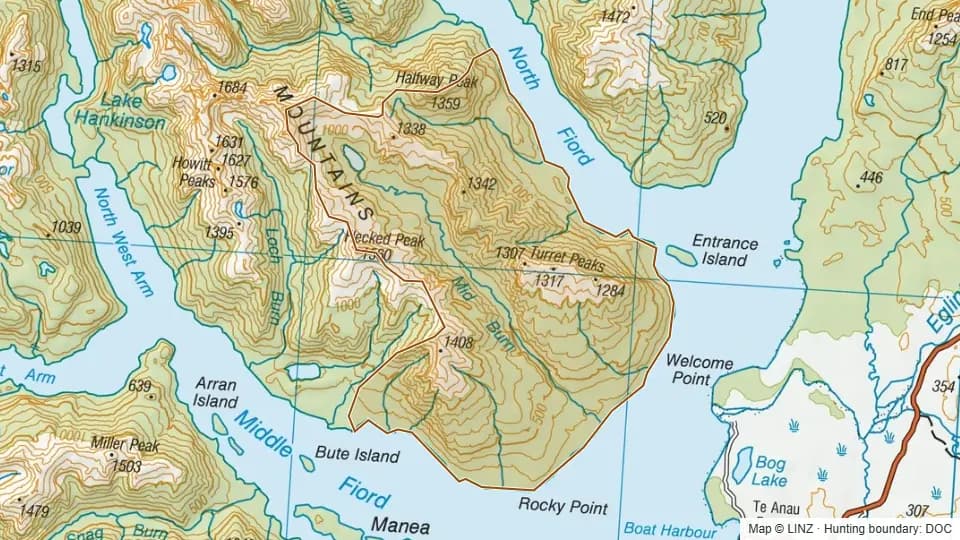 Mid Burn8,452 ha
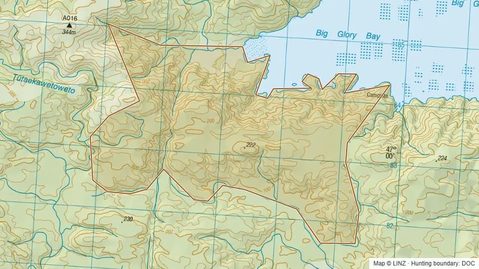 Mid Glory970 ha
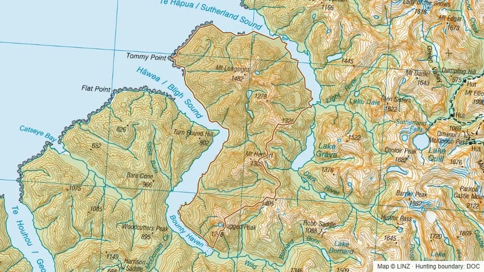 Mt Longsight8,582 ha
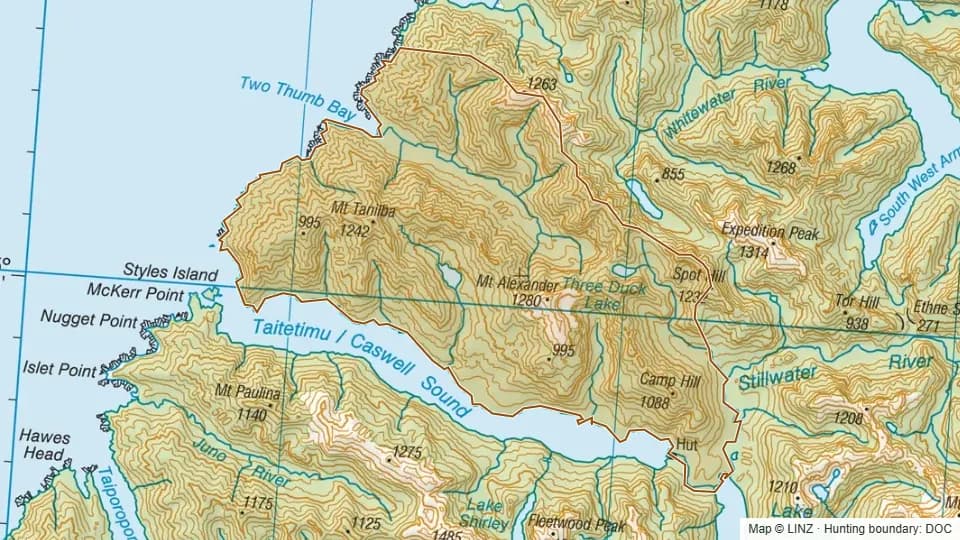 Mt Tanilba10,223 ha
 Murray1,223 ha
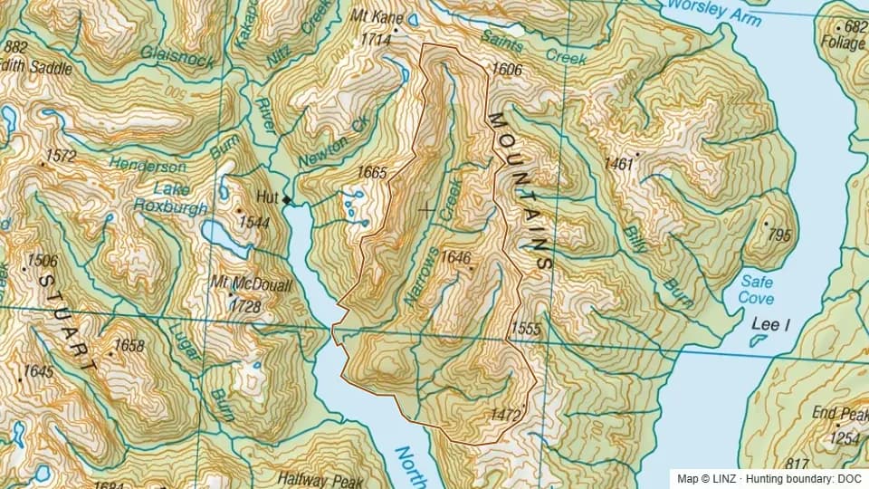 Narrows Creek3,989 ha
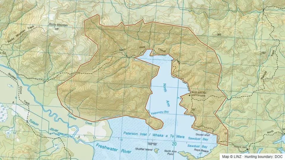 North Arm1,618 ha
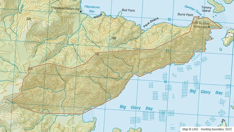 North Big Glory744 ha
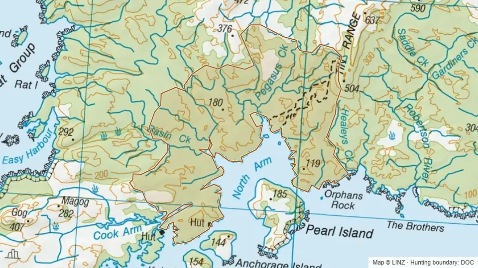 North Pegasus4,933 ha
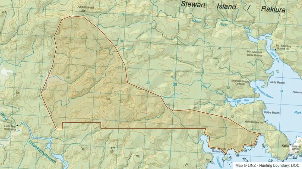 North Tikotatahi1,513 ha
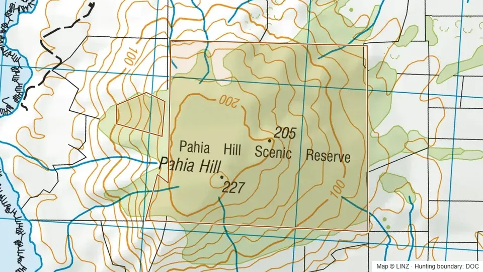 Pahia Hill Scenic Reserve166 ha
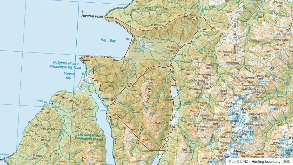 Pyke Forest/Big Bay26,426 ha
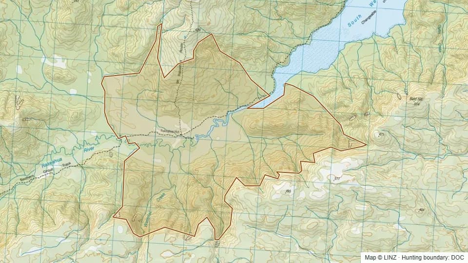 Rakeahua2,223 ha
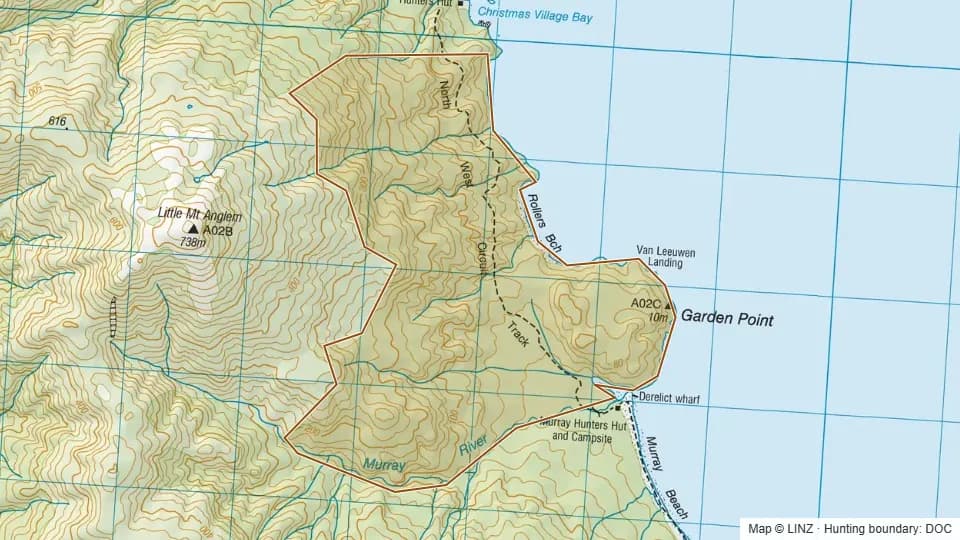 Rollers696 ha
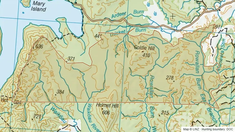 Rowallan Conservation Area9,733 ha
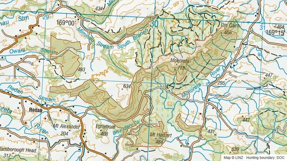 Slopedown4,874 ha
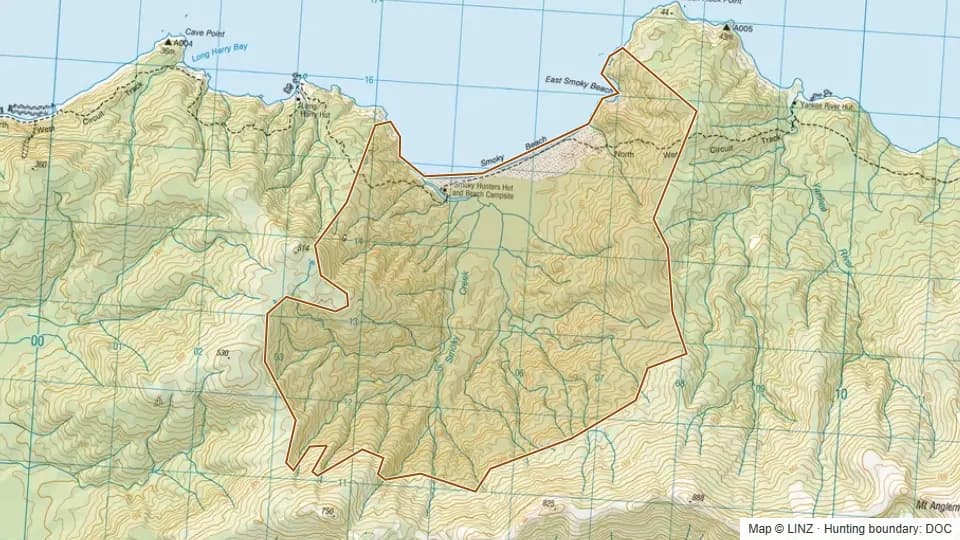 Smokey1,749 ha
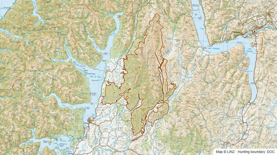 Snowdon Forest and Mavora Park Conservation Areas including adjacent PCL86,999 ha
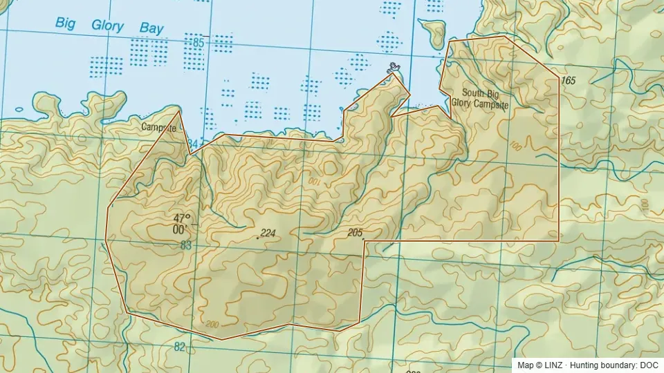 South Big Glory796 ha
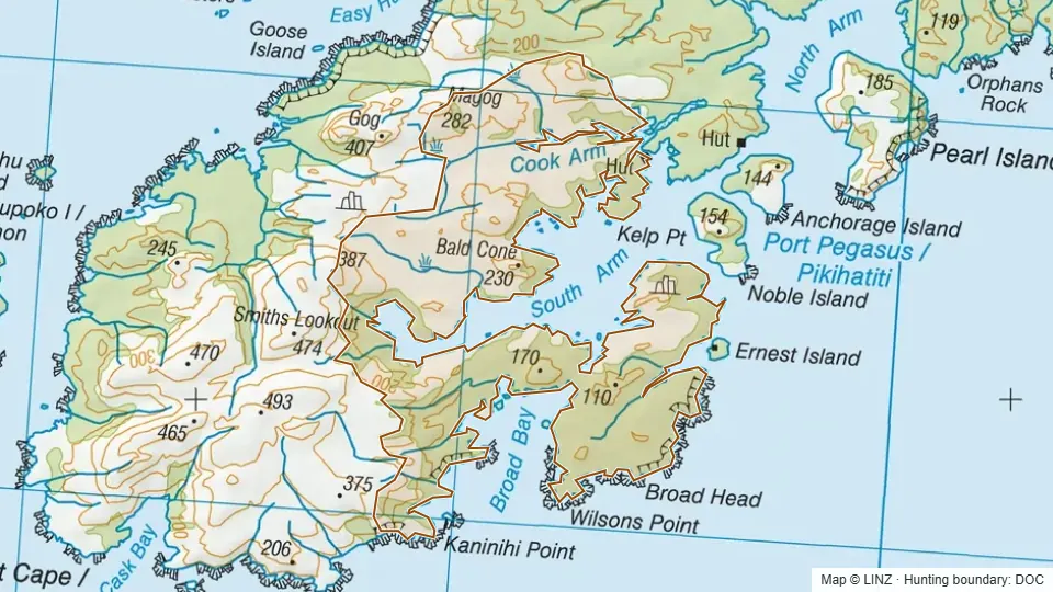 South Pegasus4,810 ha
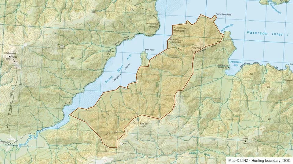 South West Arm1,592 ha
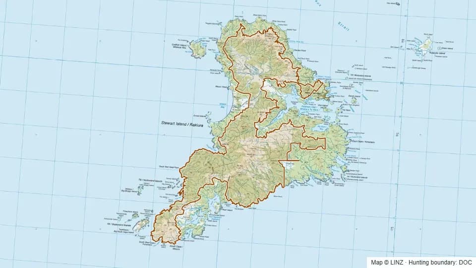 Stewart Island Open Hunting Area99,993 ha
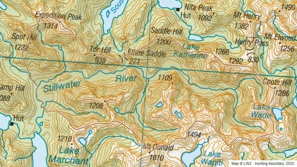 Stillwater7,582 ha
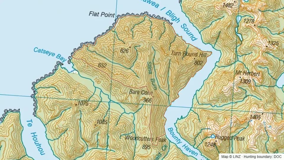 Stina Burn4,787 ha
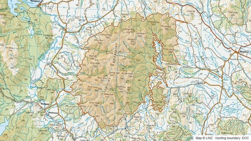 Takitimu Conservation Area including adjacent PCL46,232 ha
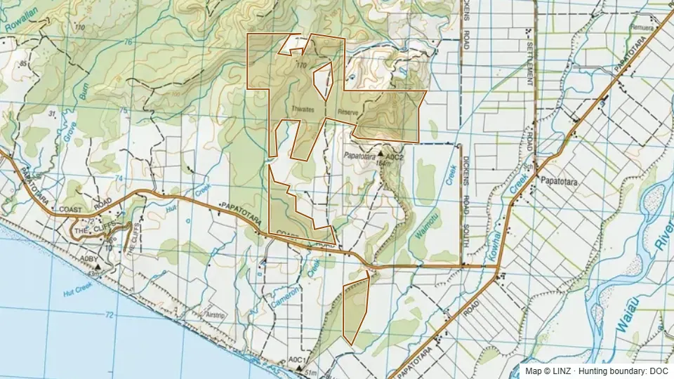 Thwaites Reserve323 ha
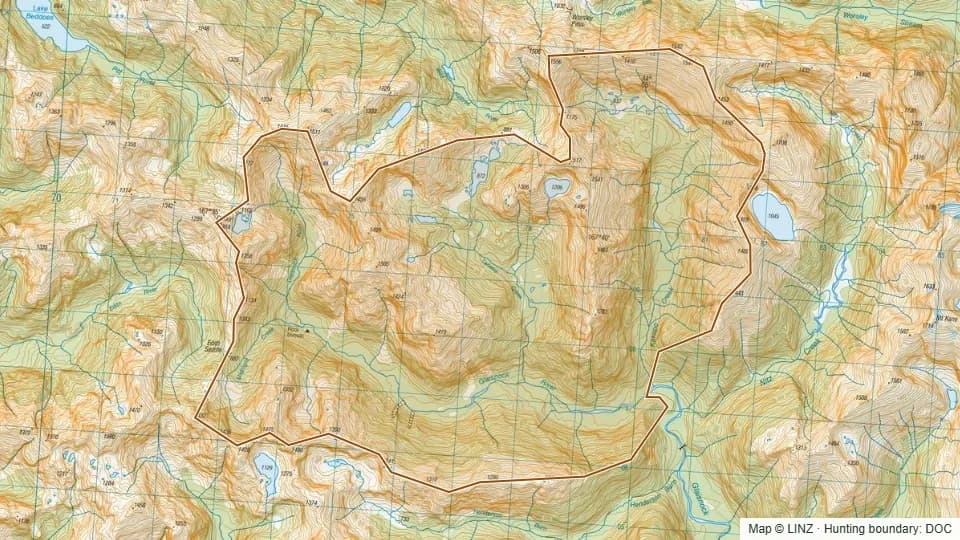 Upper Glaisnock4,702 ha
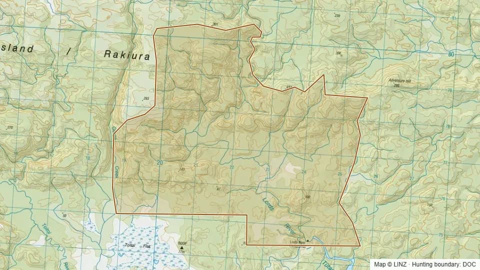 Upper Lords River2,934 ha
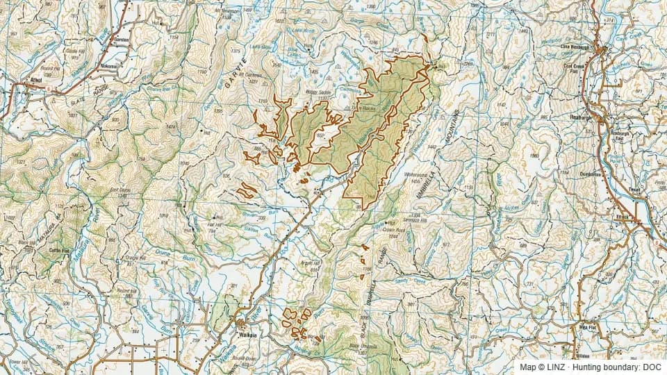 Waikaia Forest10,173 ha
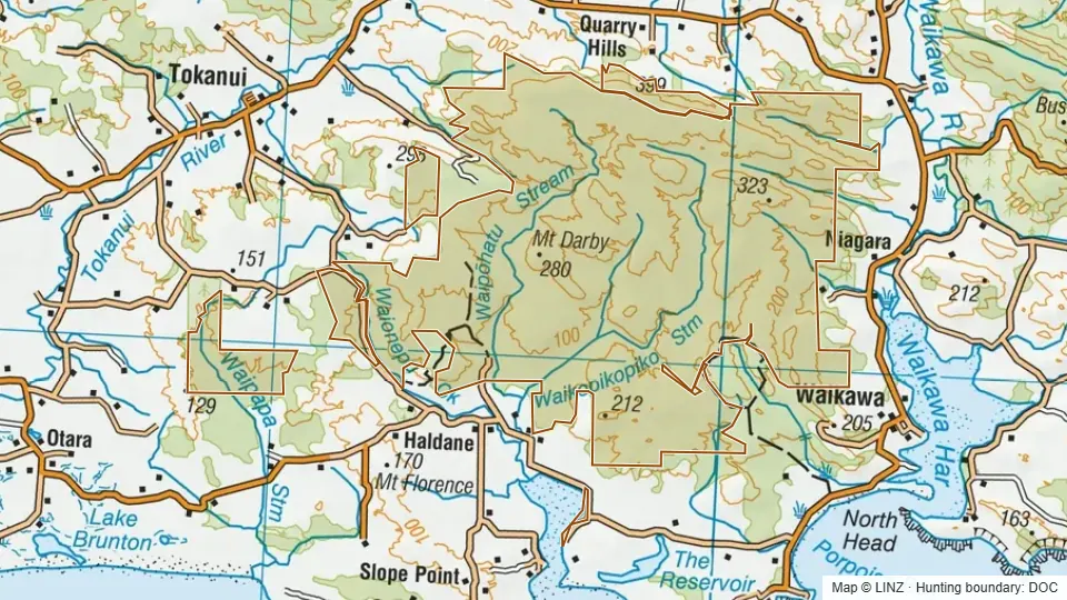 Waikawa7,150 ha
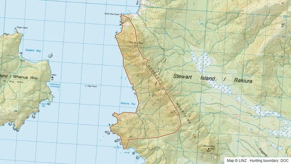 Waituna952 ha
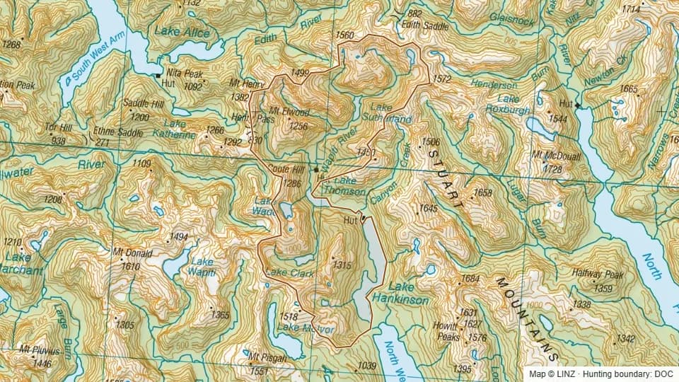 Wapiti River6,895 ha
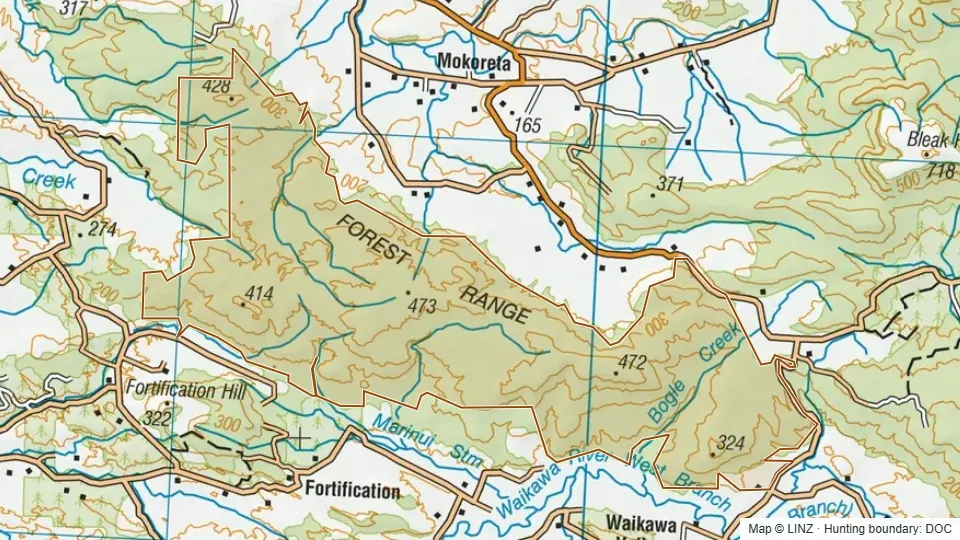 West McClennan6,474 ha
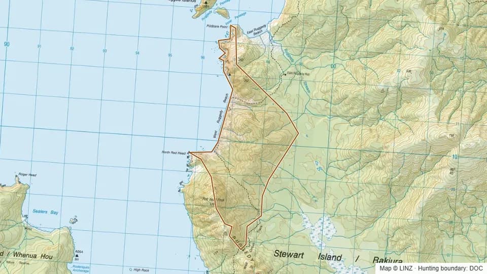 West Ruggedy877 ha
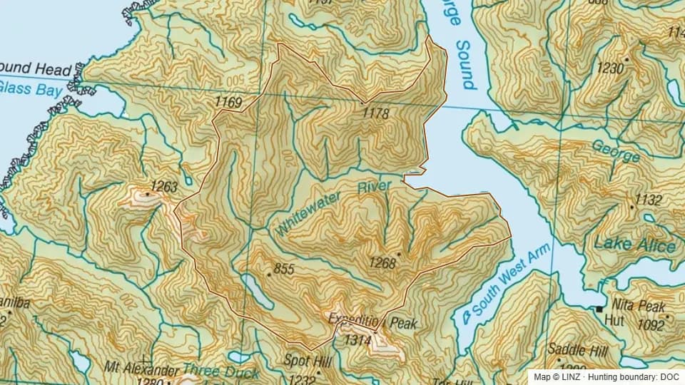 Whitewater6,280 ha
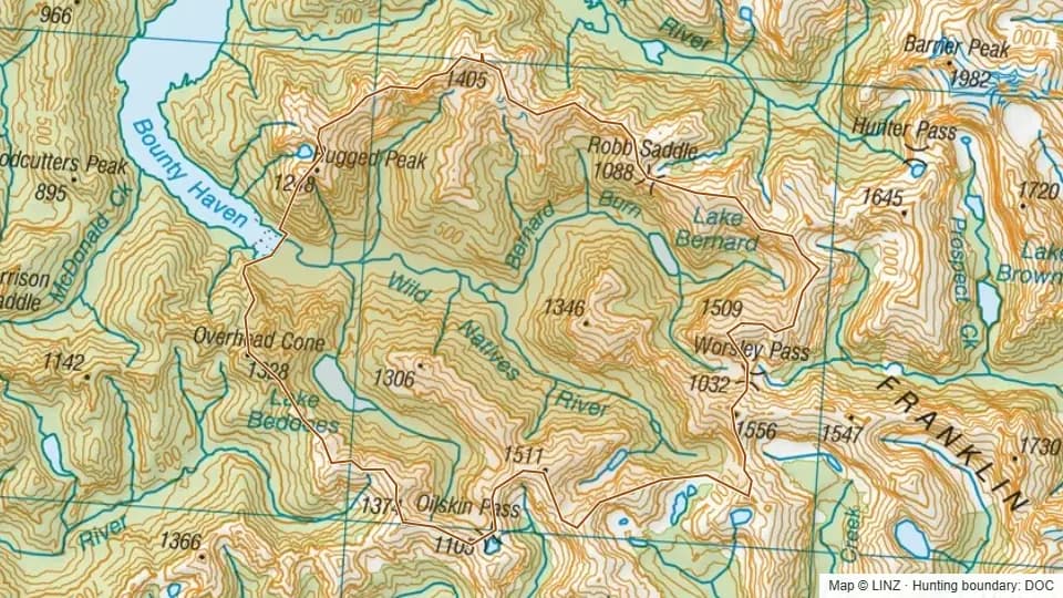 Wild Natives8,064 ha
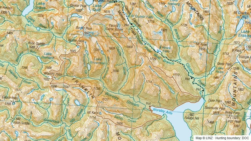 Worsely15,652 ha
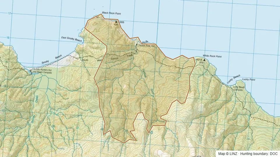 Yankee1,272 ha